The best running trails around Saint-Cernin-De-Larche
4.4
(113)
4,016
runners
159
runs
Jogging routes Saint-Cernin-De-Larche offer a variety of running experiences across a landscape characterized by gentle hills, woodlands, and the presence of several lakes and ponds, such as Lac du Causse and Étang de Chasteau. The region's terrain provides options for both leisurely runs and more challenging efforts, with elevation changes typically under 200 meters. Runners can expect a mix of paved and unpaved paths, often winding through natural settings.
Best jogging routes around Saint-Cernin-De-Larche
- The most popular jogging route is…
Last updated: July 2, 2026
4.7
(38)
812
runners
6.99km
00:47
30m
30m
Moderate run. Good fitness required. Mostly paved surfaces. Suitable for all skill levels.
4.0
(4)
62
runners
10.7km
01:18
200m
200m
Moderate run. Good fitness required. Mostly paved surfaces. Suitable for all skill levels.

Sign up for free
40
runners
Easy run. Great for any fitness level. Mostly paved surfaces. Suitable for all skill levels.
17
runners
23.1km
03:06
820m
820m
Hard run. Very good fitness required. Mostly accessible paths. Some sure footedness required.
10
runners
10.2km
01:04
60m
60m
Moderate run. Good fitness required. Mostly paved surfaces. Suitable for all skill levels.
Get access to more routes and recommendations from other explorers.
Sign up for free
Already have an account?
Our route recommendations are based on thousands of hikes, rides, and runs completed by other people on komoot.
Start today with a free account
Your next adventure awaits.
Login or Signup
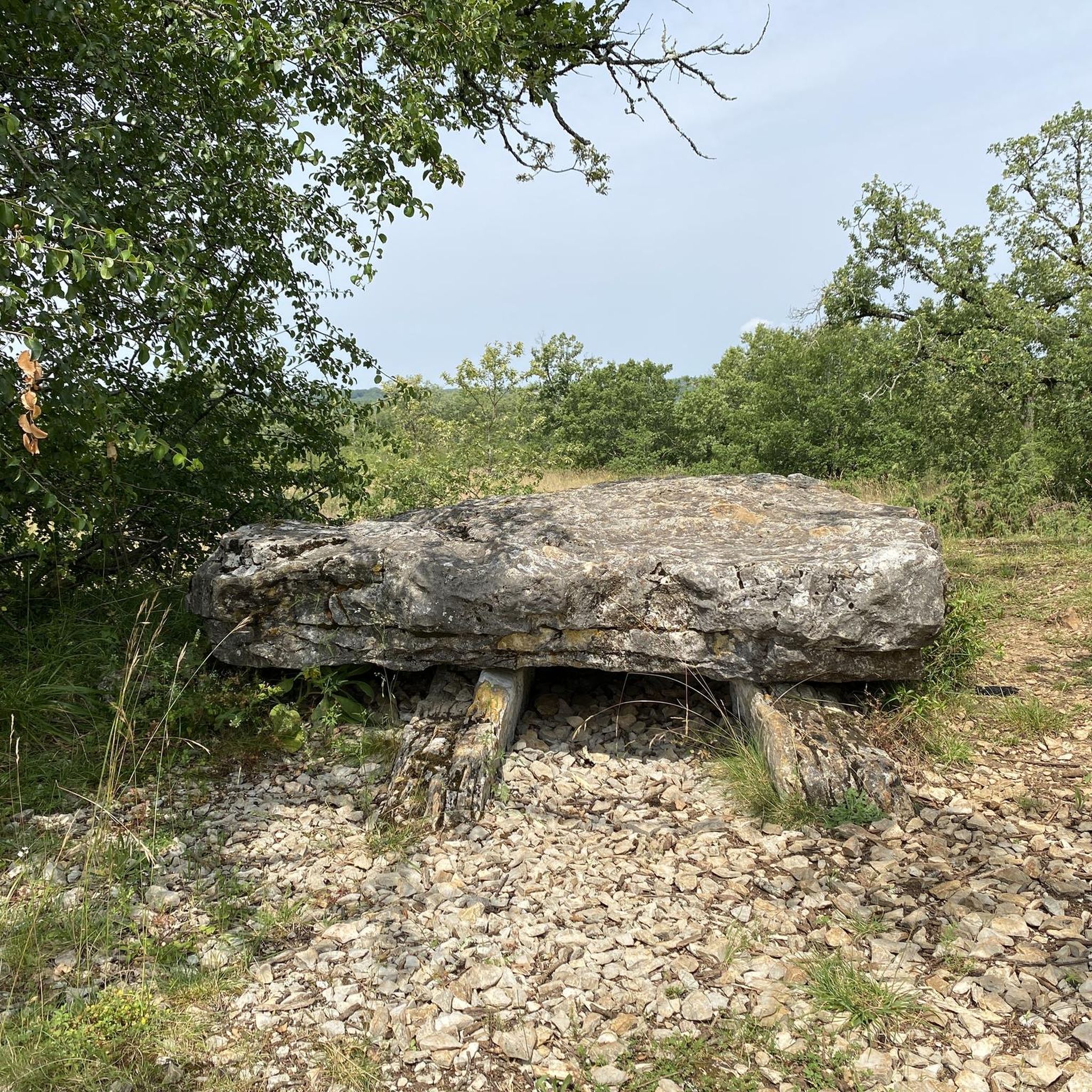
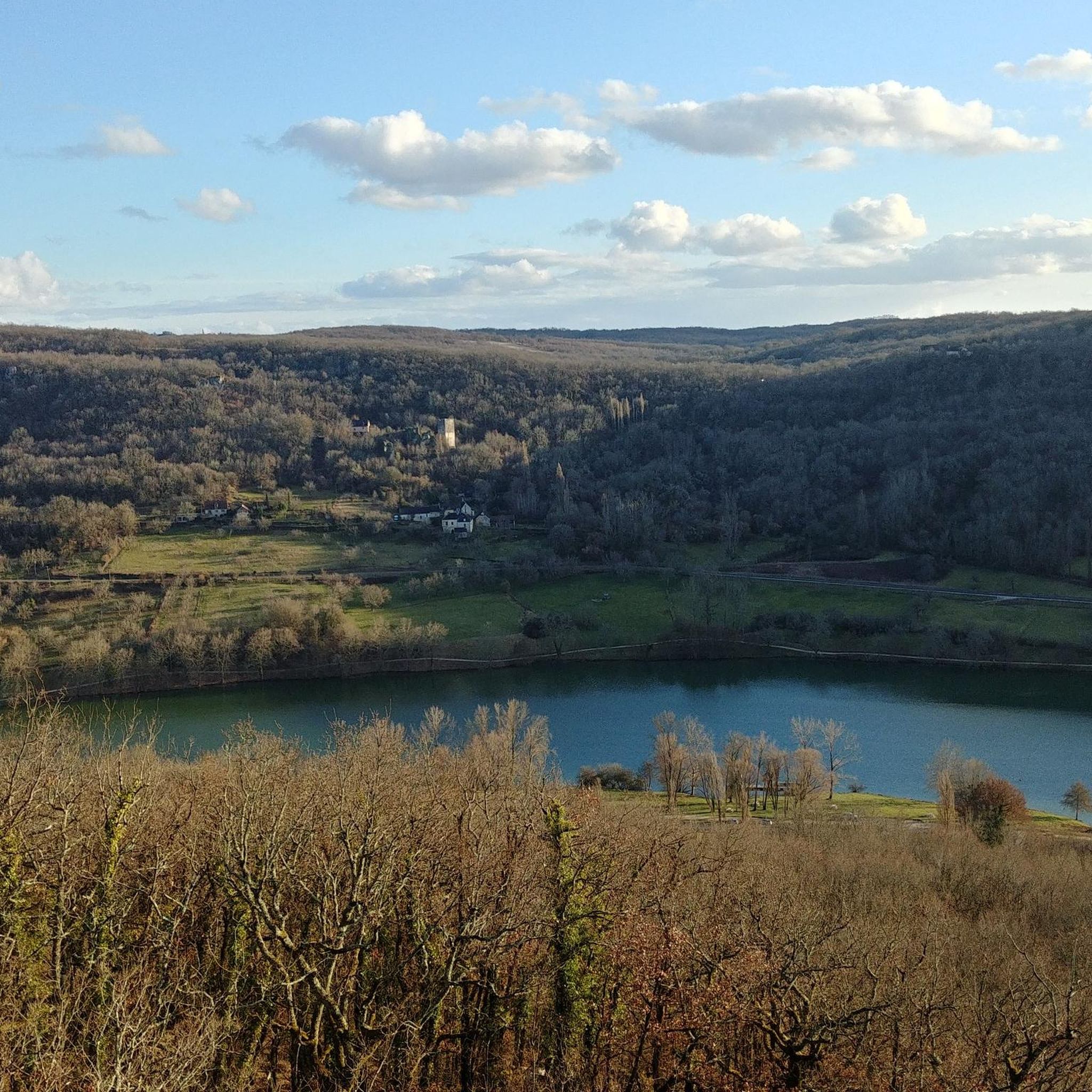
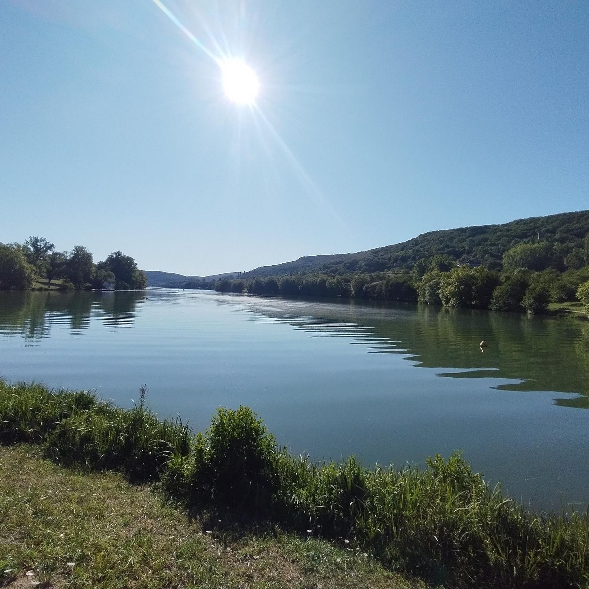
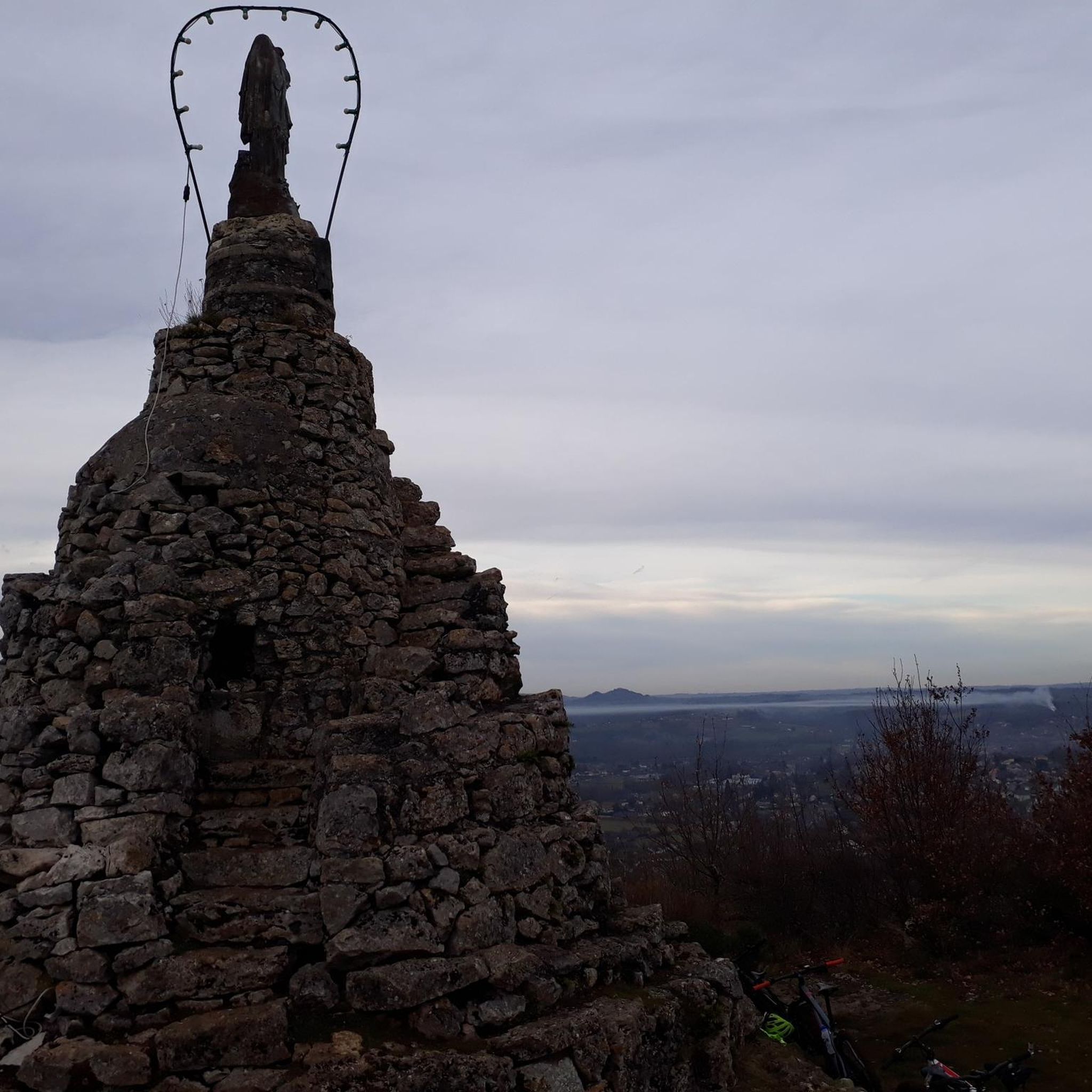

Tips from the Community

3 km of flat and uphill stretches, followed by 3.5 km of uphill stretches on mountain roads. Then finish with 1.5 km of downhill stretches and 2 km of flat stretches.
0
0

Pretty lake which is also an ideal base camp for the practice of leisure sports (water or land), and a good place for swimming!
0
0

hard to the plateau then rolling. we unroll around the lake to finish.
2
0
Frequently Asked Questions
How many running routes are available around Saint-Cernin-De-Larche?
There are over 140 running routes in the Saint-Cernin-De-Larche area, offering a wide variety of experiences from easy, flat loops to more challenging runs with gentle elevation changes.
Are there easy running routes suitable for beginners or families?
Yes, Saint-Cernin-De-Larche offers several easy running routes perfect for beginners or families. An excellent option is the Étang de Chasteau – Lac du Causse loop from Saint-Cernin-de-Larche, which is an easy 3.0-mile (4.8 km) path providing a flat and accessible run around local water bodies.
What are the typical distances for running routes in the area?
Running routes in Saint-Cernin-De-Larche vary in distance. You can find shorter, easy paths like the 3.0-mile (4.8 km) Étang de Chasteau – Lac du Causse loop, or longer, more challenging options such as the 6.7-mile (10.7 km) Notre-Dame du Fournet – Lac du Causse loop, and even routes up to 15 miles (24 km) like the Causse Lake – Lac du Causse loop.
Can I bring my dog on the running trails in Saint-Cernin-De-Larche?
Generally, dogs are welcome on many trails in the region, especially those winding through natural settings and woodlands. It's always best to keep your dog on a leash and ensure you clean up after them to respect other runners and local wildlife.
When is the best time of year to go running in Saint-Cernin-De-Larche?
The region's gentle hills, woodlands, and lakes make it pleasant for running from spring through autumn. Spring and early summer offer lush greenery, while autumn provides beautiful foliage. Even winter can be suitable, as the terrain typically doesn't experience extreme conditions, though paths might be damp.
Are there any circular running routes available?
Yes, many of the running routes in Saint-Cernin-De-Larche are circular, allowing you to start and finish at the same point. Examples include the Notre-Dame du Fournet – Lac du Causse loop and the Étang de Chasteau – Lac du Causse loop, both offering scenic round trips.
What kind of terrain can I expect on the running routes?
You can expect a mix of paved and unpaved paths, often winding through natural settings. The terrain features gentle hills, woodlands, and areas around lakes and ponds. Elevation changes are typically under 200 meters, making most routes accessible yet engaging.
What can I see along the running routes in Saint-Cernin-De-Larche?
Many routes offer scenic views of natural landmarks. You can run alongside beautiful bodies of water like Lake du Causse and Étang de Chasteau. Some trails might also pass by charming villages or natural features like the Source du Coly/Moulin de Ladoux.
What do other runners enjoy most about jogging in Saint-Cernin-De-Larche?
The area is highly rated by the komoot community, with an average score of 4.6 stars from over 30 reviews. Runners often praise the scenic lake loops, quiet country paths, and the variety of routes suitable for different ability levels.
Are there any longer, more challenging running routes for experienced runners?
Yes, for those seeking a greater challenge, routes like the Causse Lake – Lac du Causse loop from Saint-Cernin-de-Larche offer a difficult 15-mile (24.1 km) run with significant elevation changes, providing a rewarding experience for experienced runners.
Are there running routes that follow rivers or streams?
Yes, some routes incorporate local waterways. For example, the La Vézère loop from La Feuillade follows sections of the Vézère river, offering pleasant riverside running experiences.
Most popular routes around Saint-Cernin-De-Larche
Most popular attractions around Saint-Cernin-De-Larche

Get inspired with the komoot mobile app


Explore more
Browse the best Running Trails & Routes in other regions.
