The best mountain hikes around Bedano
5.0
(9)
77
hikers
7
hikes
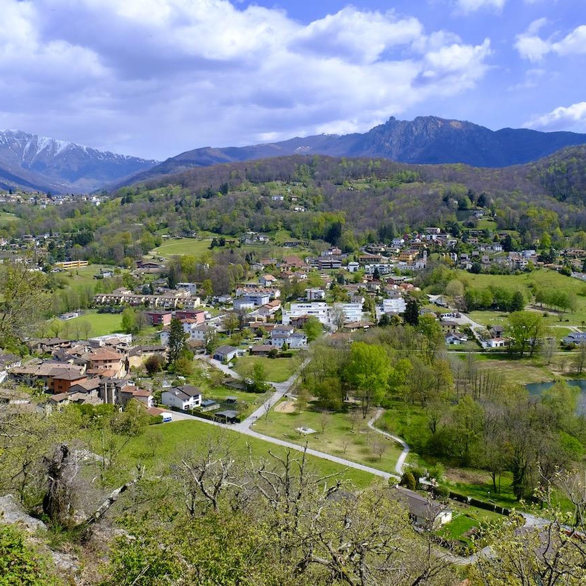
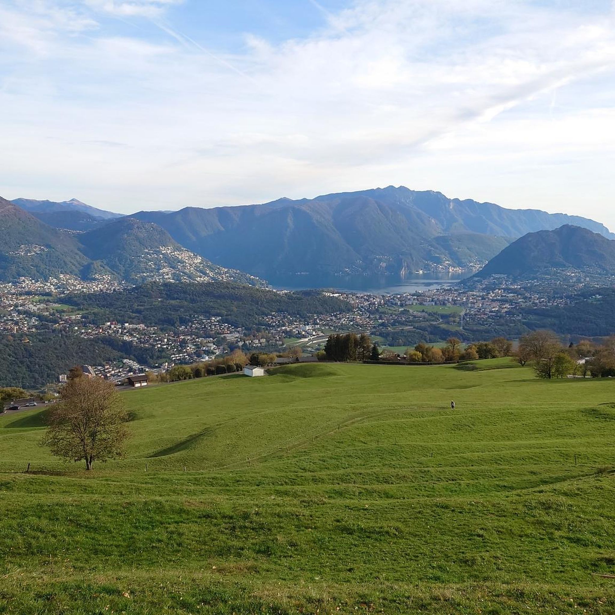
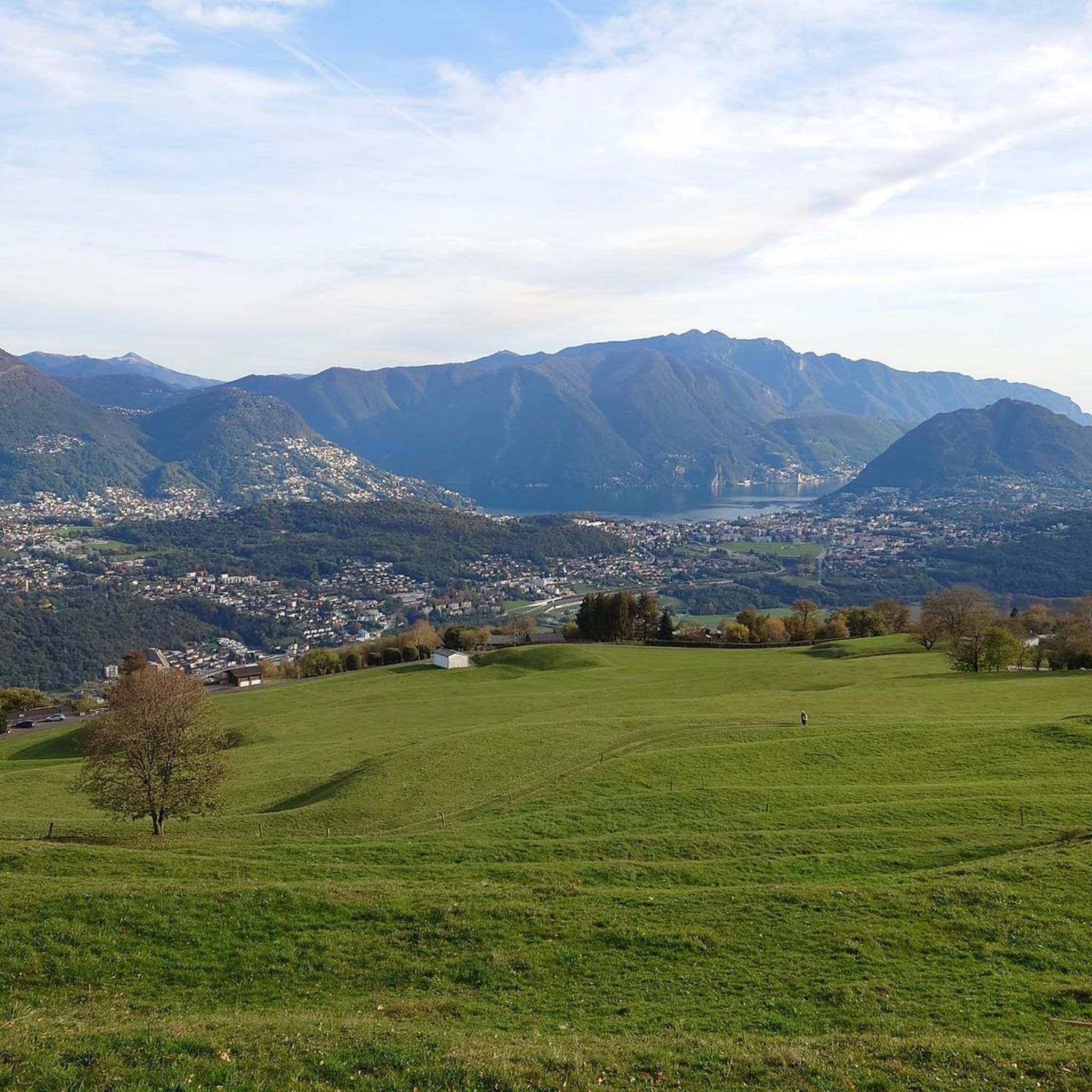
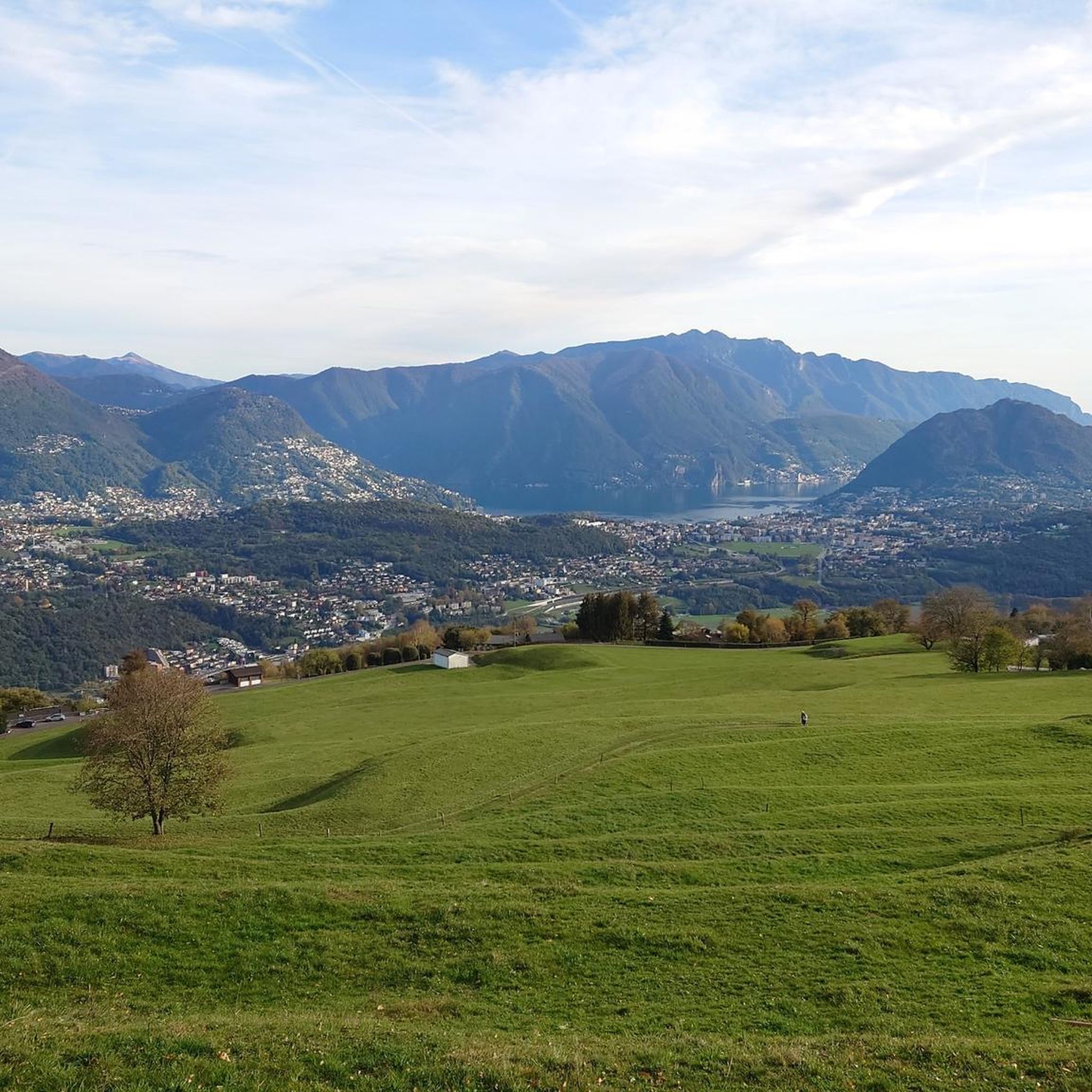
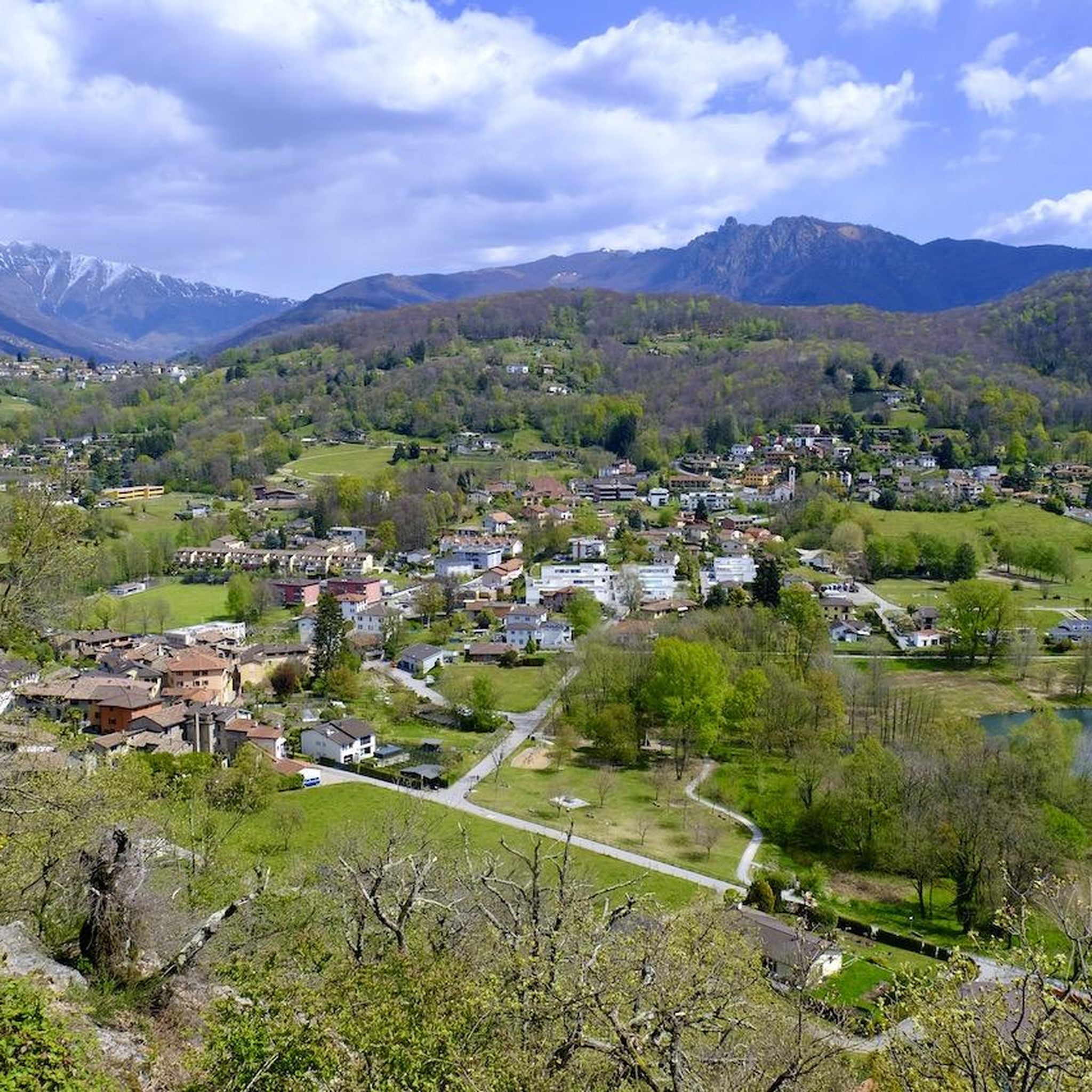
Mountaineering routes around Bedano are set within the picturesque Ticino region of Switzerland, characterized by majestic mountains, serene lakes, and lush valleys. The landscape features prominent peaks like Monte Tamaro and Monte Lema, offering expansive panoramic views. The terrain varies from challenging mountain paths to routes traversing old military roads and forested slopes. This area provides a diverse environment for mountaineering, with elevations ranging significantly across the canton.
Best mountaineering routes around Bedano
- The most popular mountaineering route is Monte…
Last updated: July 11, 2026
5.0
(3)
35
hikers
4.38km
02:13
350m
350m
Moderate mountaineering route. Good fitness required. Mostly accessible paths. Sure-footedness required.
5.0
(1)
7
hikers
6.39km
03:19
530m
520m
Moderate mountaineering route. Good fitness required. Mostly accessible paths. Sure-footedness required.

Sign up for free
5.0
(3)
8
hikers
Moderate mountaineering route. Good fitness required. Mostly accessible paths. Sure-footedness required.
6
hikers
Moderate mountaineering route. Good fitness required. Mostly accessible paths. Sure-footedness required.
5
hikers
11.7km
05:20
900m
900m
Hard mountaineering route. Very good fitness required. Mostly accessible paths. Sure-footedness required.
Get access to more routes and recommendations from other explorers.
Sign up for free
Already have an account?
Our route recommendations are based on thousands of hikes, rides, and runs completed by other people on komoot.
Start today with a free account
Your next adventure awaits.
Login or Signup

Tips from the Community


The Capanna Tamaro is located at 1,870 meters altitude, below the Monte Tamaro. The mountain hut, managed by the Società Alpinistica Ticinese, offers simple sleeping places, regional cuisine, and a warm atmosphere. It is an ideal starting point for the ridge hike to Monte Lema or for the ascent of Monte Tamaro and delights with magnificent views of the Ticino mountain world.
4
0
scenically very great tour. Top Top Top
0
0
Scenically very great tour. Top Top Top
0
0
Alpe Foppa is located at around 1500 meters above sea level and is a popular destination above Rivera. It is easily accessible by cable car to Monte Tamaro or on foot via various hiking trails. The Alp offers a magnificent view of the Ticino Alps and Lake Lugano. It is also known for the impressive chapel Santa Maria degli Angeli. In summer, hiking trails invite exploration, and in winter, snowshoe routes do the same. The combination of nature, tranquility, and architecture makes Alpe Foppa particularly attractive.
4
0
Frequently Asked Questions
How many mountaineering routes are available around Bedano?
Komoot features over a dozen mountaineering routes around Bedano, offering diverse experiences from moderate mountain hikes to more challenging ascents. These routes are highly rated by the komoot community, with an average score of 5.0 stars.
What kind of terrain can I expect on mountaineering routes near Bedano?
The terrain around Bedano is incredibly varied, set within the picturesque Ticino region. You'll encounter majestic mountains, serene lakes, and lush valleys. Routes can range from well-trodden paths to challenging mountain trails with rocky sections and steep climbs, particularly near summits like Monte Tamaro. Some paths even traverse old military roads or wind through forested slopes, offering a rich diversity of landscapes.
Are there any circular mountaineering routes in the Bedano area?
Yes, there are several circular routes that allow you to start and end in the same location. For example, the Monte San Salvatore – Puntobelvedere loop from Pazzallo is a moderate 3.0-mile (4.8 km) trail offering beautiful views of Lake Lugano. Another option is the Alpe di Neggia Pass (1,395 m) – Summit of Mount Gambarogno loop from Monte Gambarogno, a moderate 6.3-mile (10.2 km) path with extensive panoramic vistas.
What are some notable landmarks or viewpoints I can discover along the routes?
Many routes offer breathtaking views of Lake Lugano and Lake Maggiore. You can also find significant points of interest such as the Monte Gambarogno summit, which provides extensive panoramic views. The region also features mountain passes like Alpe di Neggia and viewpoints like Pian di Scagn, perfect for enjoying the stunning Ticino landscape.
Are there any family-friendly mountaineering options near Bedano?
While the term 'mountaineering' can imply more challenging routes, the Bedano area and wider Ticino region offer diverse hiking opportunities. Many trails fall under the 'easy' (SAC T1) category, which are well-trodden paths suitable for all fitness levels and families. For specific family-friendly recommendations, look for routes described as easy hikes, often found around lower altitudes or scenic lake areas.
Can I bring my dog on the mountaineering trails around Bedano?
Generally, dogs are welcome on most hiking and mountaineering trails in Switzerland, including those around Bedano. However, it's always advisable to keep your dog on a leash, especially in nature reserves, near livestock, or on busy paths. Ensure your dog is fit enough for the chosen route and that you carry enough water for both of you.
What is the best time of year for mountaineering in Bedano?
The best time for mountaineering in Bedano is typically from late spring through early autumn (May to October). During these months, the weather is generally more stable, trails are clear of snow, and temperatures are pleasant. Autumn, in particular, offers vibrant colors, especially along trails like the Chestnut Trail. Winter mountaineering is possible but requires specialized equipment and experience due to snow and ice conditions.
Are there any challenging mountaineering routes for experienced hikers?
Yes, for those seeking a greater challenge, the Bedano area and the broader Ticino region offer difficult routes. An example is the Summit of Mount Gambarogno – Alpe di Neggia Pass (1,395 m) loop from Indemini, a 7.1-mile (11.4 km) trail through varied mountain terrain. Another demanding option is the Sasso Rosso – Monte Boglia loop from Brè sopra Lugano, which covers 11.1 km with significant elevation gain.
Where can I find accommodation or huts along the routes?
The region offers various accommodation options. For those looking for mountain stays, you can find huts like the Monte Bar Hut or the Monte Lema Summit Hostel. These provide a convenient base for multi-day tours or a place to rest and refuel during longer excursions.
How can I access the mountaineering trails using public transport?
Many trailheads in the Ticino region are accessible by public transport, including buses and trains. For routes around Bedano, you can often reach starting points from nearby towns like Lugano, which has good public transport connections. It's recommended to check local bus schedules to plan your journey to specific trailheads.
What are the typical elevation gains on these routes?
The elevation gains vary significantly depending on the route's difficulty and length. Moderate routes might involve ascents of around 350 to 570 meters, such as the Monte San Salvatore loop (approx. 353m up) or the Alpe di Neggia Pass – Mount Gambarogno loop (approx. 576m up). More difficult routes, like the Summit of Mount Gambarogno loop from Indemini, can feature elevation gains closer to 800 meters.
Are there any routes that connect Monte Tamaro and Monte Lema?
Yes, the traverse from Monte Tamaro to Monte Lema is a well-known and popular ridge hike in the region, offering stunning panoramic views. While not directly starting from Bedano, routes like the Alpe di Neggia Pass (1,395 m) – Summit of Monte Tamaro loop from Monte Gambarogno can bring you closer to the Monte Tamaro area, which is a starting point for such traverses.
Most popular attractions around Bedano

Get inspired with the komoot mobile app


Explore more
Browse the best Mountain Hikes & Routes in other regions.
