Top 7 Mountain Passes around Artigues
Best mountain passes around Artigues are located primarily in the French Pyrenees, offering a range of challenging climbs and mountain routes. This region provides diverse terrain for cyclists and hikers, with several passes exceeding 2,000 meters in elevation. The landscape includes both forested ascents and exposed high-mountain environments. A distinct Mountain Pass of Artiga is also found in the Spanish Pyrenees.
Best mountain passes around Artigues
- The most popular mountain passes is Pailhères Pass, a mountain_pass that reaches an…
Last updated: July 10, 2026
Pailhères Pass
Highlight • Mountain Pass
Translated by Google •
Tip by

Pradel Pass
Highlight • Mountain Pass
Translated by Google •
Tip by
Sign up now to discover places like this
Get recommendations on the best single tracks, peaks, & plenty of other exciting outdoor places.
Sign up for free
Col du Garavel (1256 m)
Highlight • Mountain Pass
Translated by Google •
Tip by

Col de Pailhères (Elevation 2,000 m)
Highlight • Mountain Pass
Translated by Google •
Tip by

Portella de la Grava
Highlight • Mountain Pass
Translated by Google •
Tip by

Sign up for free to discover even more mountain passes around Artigues.
Sign up for free
Already have an account?
Start today with a free account
Your next adventure awaits.
Login or Signup
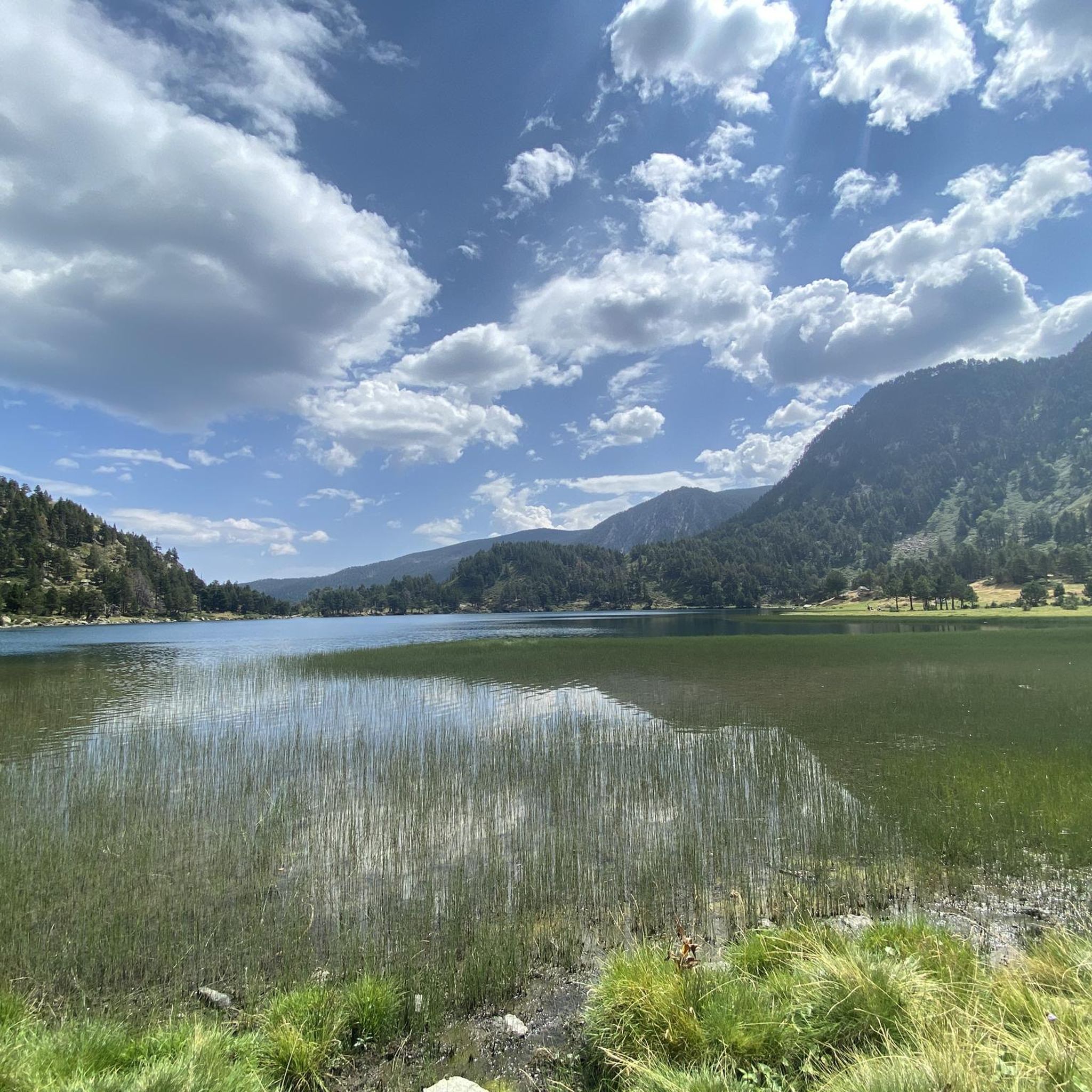
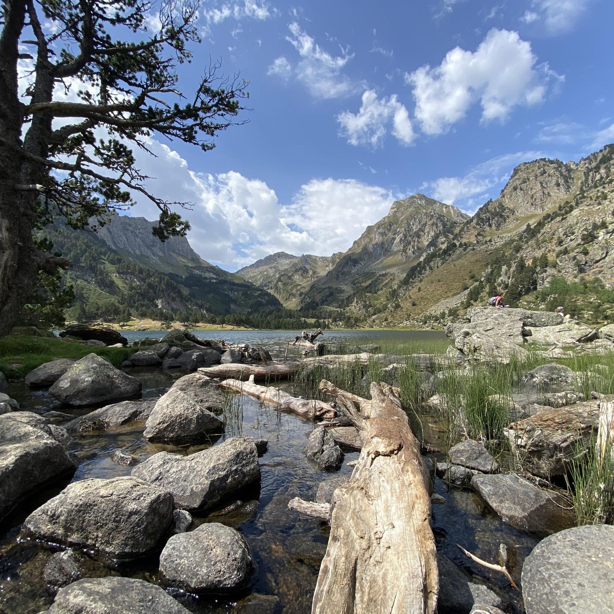
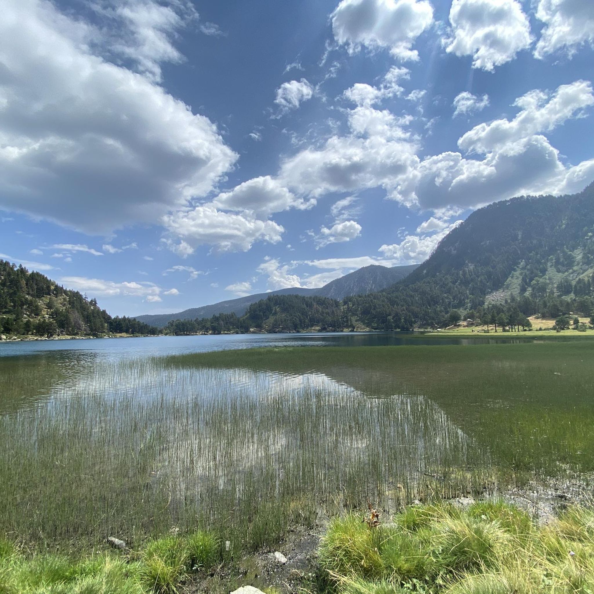
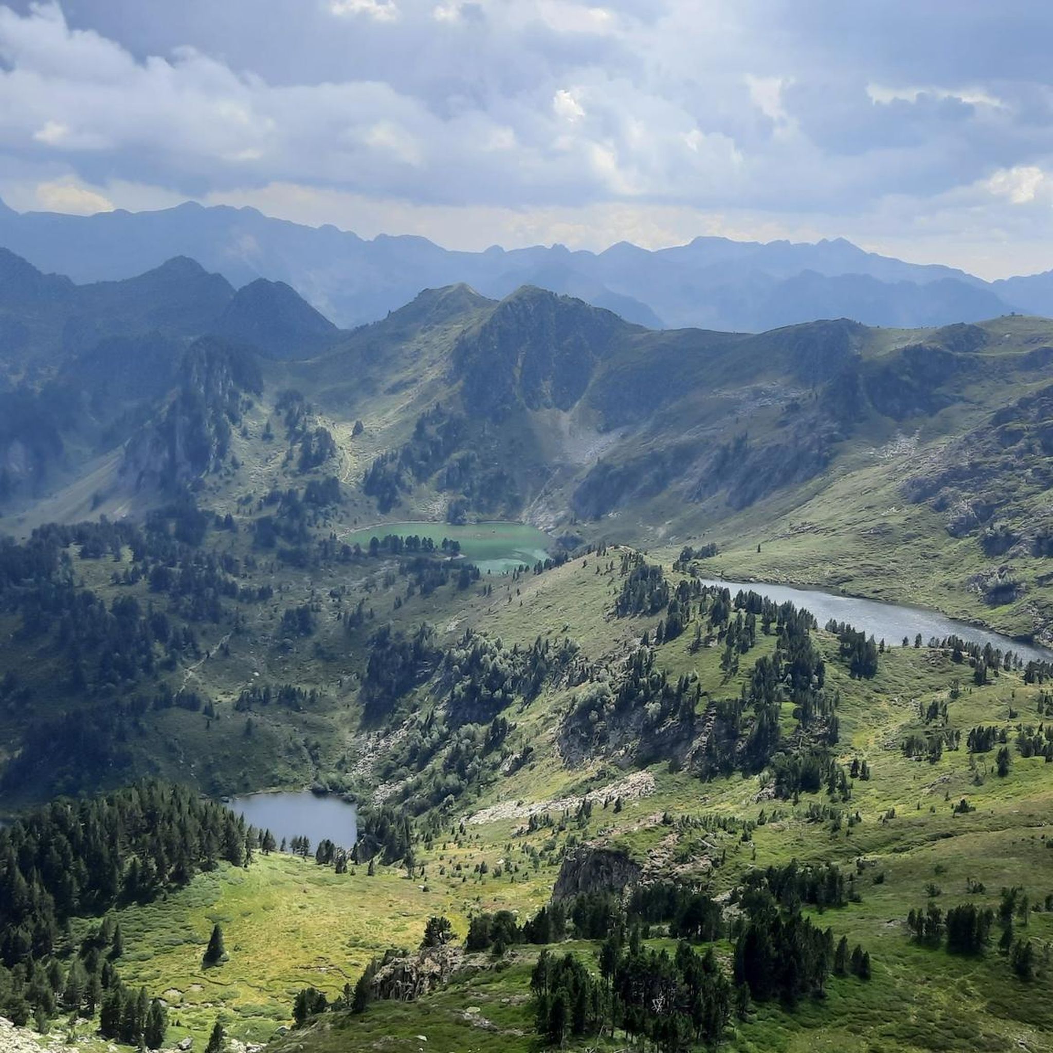


Tips from the Community


From Axat, it's a long climb, 18km. It's quite beautiful down in the gorges, then a few kilometers of fairly monotonous woods. Arriving on the plateau, it clears up but it's rural. The impressive view is worth it when you reach the pass. Going down there must be a blast, the tarmac is good, it's quite wide and there's little traffic. I went down via Escouloubre: the tarmac is bad, gravel, but the forest is enchanting! Why not go the other way, then, up via Escouloubre and down via Bousquet / Roquefort etc.?
1
0

One of the best experiences on my entire tour. I have this picture with the view of the mountains as my screen background. The roads are still closed, the snow is piled up meters high on the sides and at the same time there is not a single car on the road. Simply fantastic
1
0

Here you can barely reach the 2000m altitude. The area is wonderful
0
0

Col del Pradel is the brother (smaller or bigger) of the Col de Pailhères given its proximity. They are twinned because it is inevitable to climb one without passing the other. Once you move to the area to upload one, you also take the opportunity to upload the other. Col de Pradel is one of the ports that I like. Very narrow gravel road (old fashioned), with tree-lined sections and open sections with good views. A port that seems like you don't know where it takes you, and that is part of its charm. It is a tough port on both sides, although they are very different. I leave you its altimetry prepared by @cyclingcols --> http://www.cyclingcols.com/col/Pradel Col de Pradel does not disappoint any cyclist!
0
1
I have visited the Col de Pailhères on several occasions and in all seasons of the year. In summer it is very common to find cows, horses and sheep at the top. It is an enigmatic and wonderful port. It is very hard on both sides since it has many kilometers with a slope greater than 10%. It is one of my Top-10 in the Pyrenees. I leave you the link with its altimetry prepared by @cyclingcols --> http://www.cyclingcols.com/col/Pailheres
0
0

The Portella de la Grava is a pass located at an altitude of 2,426 meters. It offers breathtaking views and is an iconic passage for mountain enthusiasts. Through this pass you have scenic access between the northern and southern slopes of the Pyrenees. Its steep path and exceptional panoramas make it a popular place for adventurers in search of natural discoveries.
2
0

The Col du Pradel culminates at 1,673 meters above sea level. The climb from Ax-les-Thermes is 14.4 kilometers long at an average of 6.6% with passages at more than 11%.
0
0
Frequently Asked Questions
What are some of the most challenging mountain passes for cyclists around Artigues?
For serious road cyclists, the region offers several demanding climbs. The Pailhères Pass, an emblematic Pyrenean pass reaching 2,001 meters, is known for its challenging gradients (up to 8.2% average from Mijanès) and has been featured multiple times in the Tour de France. Another significant challenge is Les Artigues d'en Malo, located in the Eastern Pyrenees, with an ascent featuring an average gradient of 7.99% and a maximum of 14.0%.
Are there challenging high-altitude hiking routes near Artigues?
Yes, for experienced trekkers, the region provides access to high-altitude hiking. The Col des Taons de Bacanère, situated around 1,975 meters, is often encountered during routes originating from Artigue and offers magnificent views. Depending on the season, an ice axe and crampons might be required. Additionally, the Plan de Montmajou – Sommet de Prat-Pardin Ridge Walk, starting from Artigue, follows a border ridge with spectacular panoramic views of the Maladeta Massif and Pico de Aneto.
What kind of views can I expect from the mountain passes in the Artigues area?
Many passes offer breathtaking panoramic views. From the Pailhères Pass, you'll see grand open vistas of the surrounding Pyrenees. The climb to the village of Artigue, while not a pass itself, provides fantastic panoramic views down to Luchon and up to Pico Aneto. From the Col des Taons de Bacanère and the Plan de Montmajou ridge, hikers can enjoy expansive views of the Pyrenean chain, including the Maladeta massif.
Are there any mountain passes suitable for a less frequented or more secluded experience?
Yes, if you're looking for a less crowded experience, Les Artigues d'en Malo offers a demanding cycling climb in a less frequented area of the Pyrenees. For hikers seeking a remote and wild Pyrenean adventure, the Mountain Pass of Artiga in the Spanish Pyrenees is a very demanding high-mountain route, part of a cross-border trail, providing a remote experience with unique high-mountain architecture and natural endowments.
What is the best time of year to visit the mountain passes around Artigues?
The best time to visit largely depends on your activity. For cycling and hiking, late spring to early autumn (May to October) generally offers the most favorable conditions, with passes typically clear of snow. However, some high-altitude routes, like the Col des Taons de Bacanère, might require specialized equipment (ice axe, crampons) in certain seasons due to snow conditions. The Artiga de Lin valley is particularly tranquil outside of the busy summer months.
What outdoor activities can I do near these mountain passes?
The region around Artigues is excellent for various outdoor activities. You can find numerous routes for road cycling, mountain biking, and hiking. For cycling, explore routes like the 'Pailhères Pass – Mijanès loop' or the 'Tour of Pays de Sault'. Mountain bikers can enjoy trails such as the 'Puyvalador Dam loop'. Hikers can access sections of the renowned GR10 long-distance path from passes like Col des Taons de Bacanère. For more details on routes, you can check the Cycling around Artigues, MTB Trails around Artigues, and Road Cycling Routes around Artigues guides.
Are there any family-friendly options or natural attractions suitable for all ages?
While many passes are challenging, the Artiga de Lin valley in the Spanish Pyrenees offers a protected natural area with wild landscapes, beechwoods, fir tree forests, and the impressive Uelhs deth Joeu waterfall. Access is via a local road, with private vehicle restrictions in summer and a tourist train service available, making it more accessible for families to enjoy the natural beauty. It's a great starting point for excursions into the Aneto and Maladeta areas.
What historical or cultural elements can be found near the mountain passes?
The Mountain Pass of Artiga in the Spanish Pyrenees is notable for its remote and wild character, but also for boasting Romanesque elements and unique high-mountain architecture. The Artiga de Lin valley also has historical links to smugglers and shepherds, offering a glimpse into the region's past.
What do visitors enjoy most about the mountain passes around Artigues?
Visitors frequently praise the challenging climbs and the breathtaking views. For instance, the Pailhères Pass is celebrated for its 'great bends and beautiful landscape' and being 'among the most beautiful things you can do in the high mountains with the racing bike'. The secluded nature and impressive views at the summit of passes like Col du Garavel (1256 m) are also highly appreciated.
Are there any passes that offer a unique experience beyond typical cycling or hiking?
The Pailhères Pass is unique for its status as one of the few Pyrenean passes exceeding 2,000 meters and its multiple appearances in the Tour de France, making it a significant landmark for cycling enthusiasts. The Artiga de Lin valley, while not a pass, offers a unique natural experience with its protected status, impressive waterfall (Uelhs deth Joeu), and historical connections to smugglers and shepherds.
What are the characteristics of the Pradel Pass?
The Pradel Pass culminates at 1,673 meters above sea level. The climb from Ax-les-Thermes is 14.4 kilometers long with an average gradient of 6.6%, featuring sections steeper than 11%. While the north side often goes through the forest, the summit offers wonderful views, especially if you approach it from La Fajole.
Can I find any passes that are part of a long-distance trail?
Yes, the Col des Taons de Bacanère provides access to high-altitude hiking, including sections of the renowned GR10 long-distance path. Similarly, the Plan de Montmajou – Sommet de Prat-Pardin Ridge Walk, which starts from Artigue, is part of the GR10 in its initial sections, offering a continuous trail experience.
Most popular routes around Artigues
Most popular attractions around Artigues

Get inspired with the komoot mobile app


Explore more
See even more epic mountain passes by checking out these guides around Artigues:
