The best cycling routes around Saint-André-En-Vivarais
4.4
(257)
2,594
riders
196
rides
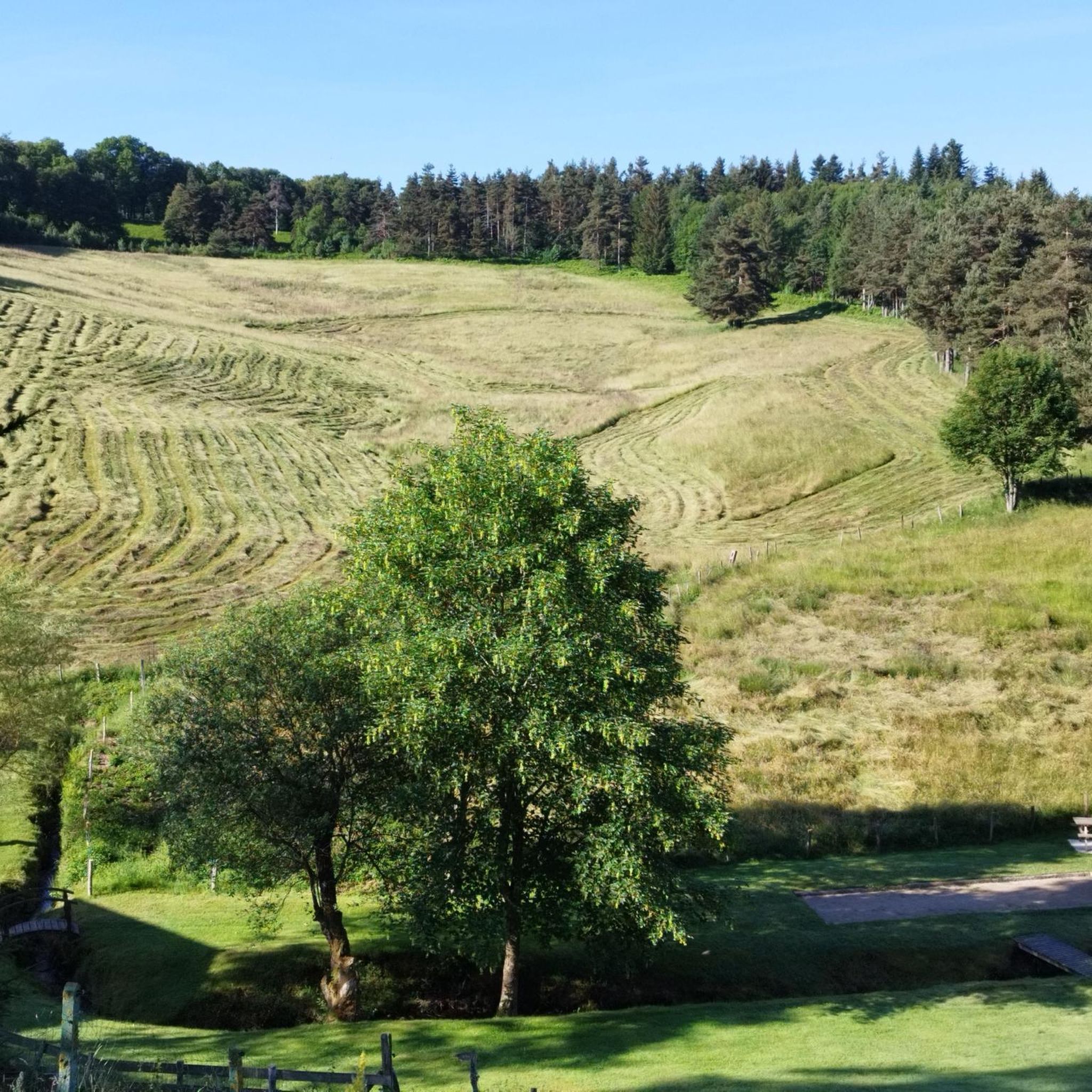
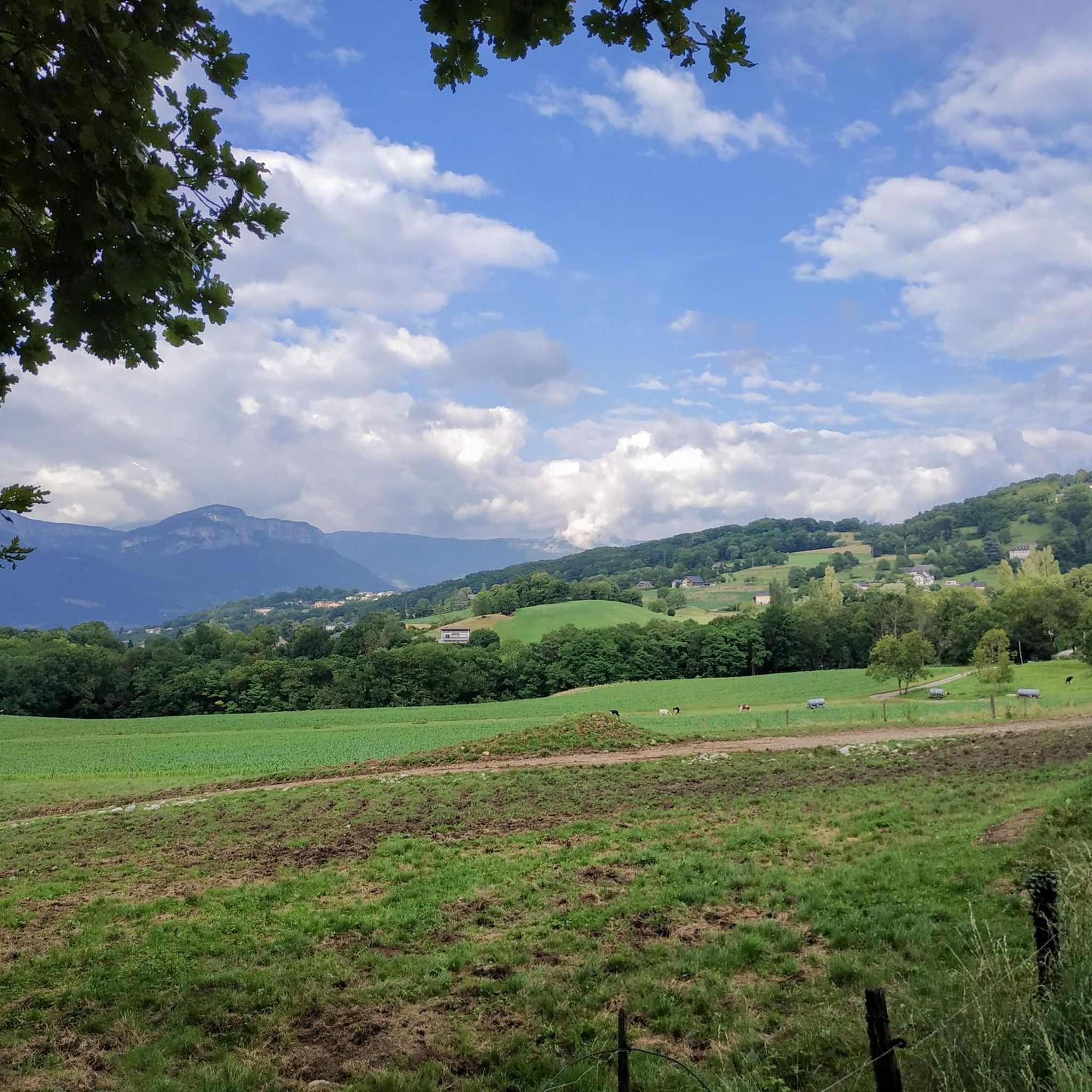
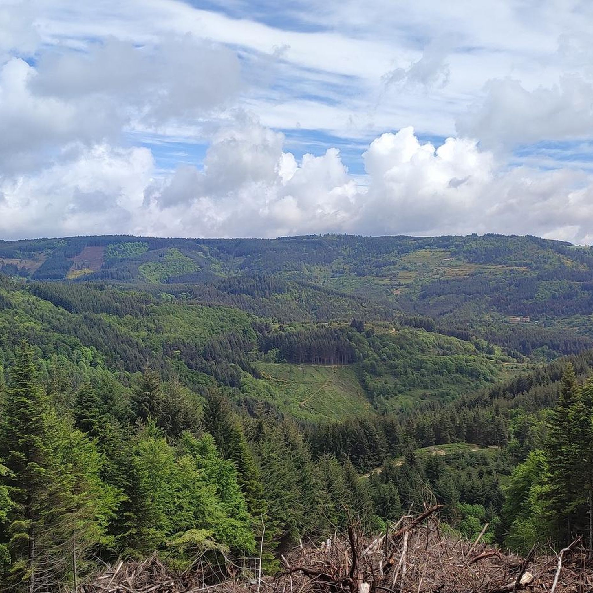
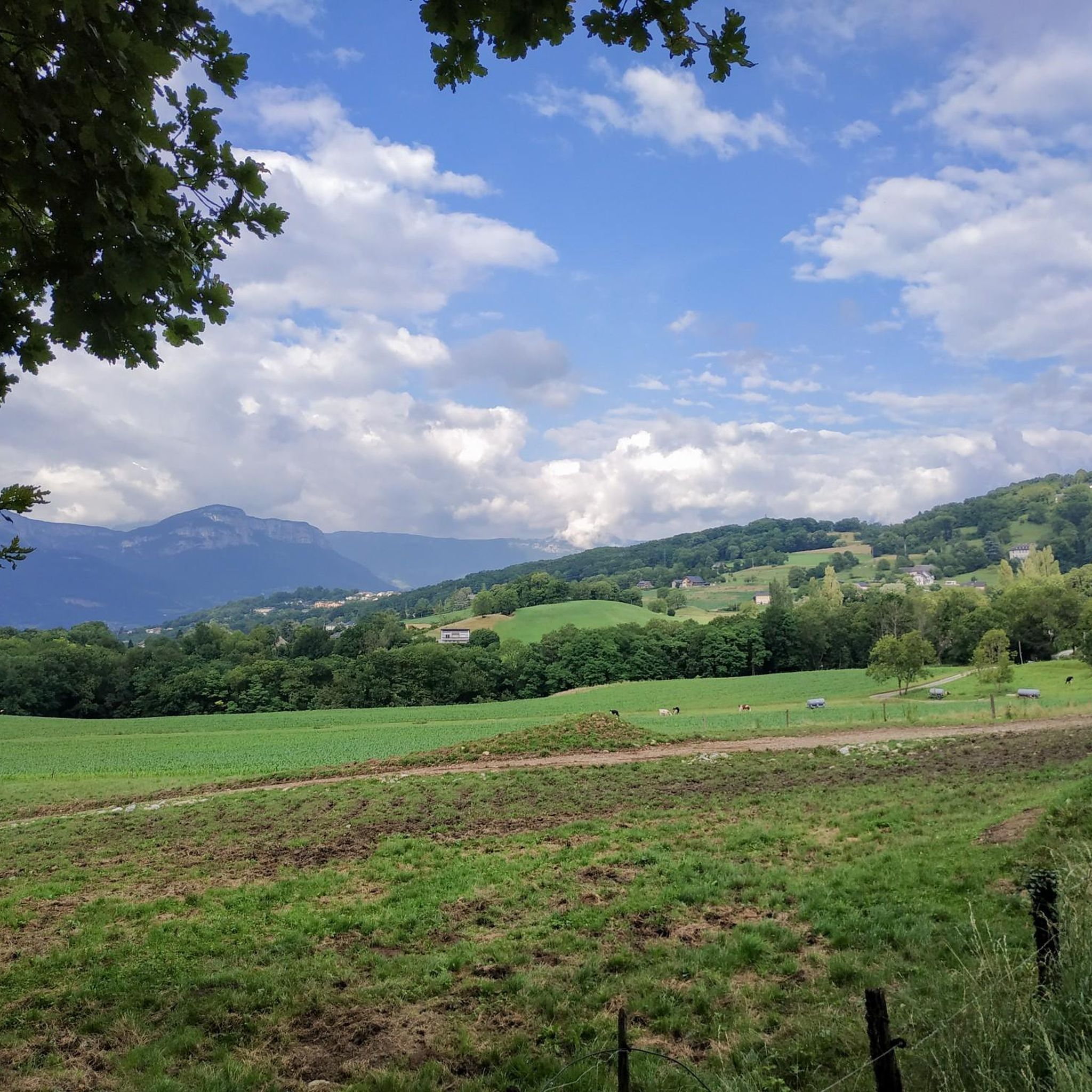
Touring cycling around Saint-André-En-Vivarais offers varied terrain in the northern Ardèche department, situated at an altitude of 1,070 meters between the Rhône Valley and the Massif Central. The region features mountainous landscapes with an average altitude of 1,100 meters, including volcanic peaks and a range of gradients. Extensive forests of spruce, conifers, and beech cover much of the commune, providing shaded routes, while rivers like the Doux and green prairies add to the scenic diversity. This combination of natural features supports a dynamic cycling experience.
Best touring cycling routes around Saint-André-En-Vivarais
- The most popular touring cycling route is Sarcenas Viaduct – Montregard Church loop from Saint-Bonnet-le-Froid, a 20.6 miles (33.2 km) trail that takes 2 hours 9 minutes to complete. This difficult route features a viaduct and passes by Montregard Church.
- Another top favourite among local touring cyclists is Sarcenas Viaduct – Riotord loop from Saint-André-en-Vivarais, a difficult 26.9 miles (43.3 km) path. This route starts directly from Saint-André-en-Vivarais and includes the Sarcenas Viaduct, offering varied terrain.
- Local touring cyclists also love the Old Lamastre train station – View of Lake Devesset loop from Saint-Bonnet-le-Froid, a 54.4 miles (87.6 km) trail leading through diverse landscapes and offering views of Lake Devesset, often completed in about 6 hours 12 minutes.
- Touring cycling around Saint-André-En-Vivarais is defined by mountainous terrain, extensive forests, and green prairies. The network offers options for easy, moderate, and difficult routes, catering to different ability levels.
- The routes in Saint-André-En-Vivarais are highly rated by the komoot community with an average score of 4.4 stars from more than 200 reviews. More than 2000 touring cyclists have used komoot to explore Saint-André-En-Vivarais's varied terrain.
Last updated: July 13, 2026
4.0
(1)
16
riders
33.2km
02:09
460m
450m
Hard bike ride. Very good fitness required. Mostly paved surfaces. Suitable for all skill levels.
14
riders
43.3km
02:55
710m
710m
Hard bike ride. Very good fitness required. Mostly paved surfaces. Suitable for all skill levels.

Sign up for free
8
riders
29.7km
02:44
540m
540m
Hard bike ride. Very good fitness required. Mostly paved surfaces. Suitable for all skill levels.
5.0
(1)
14
riders
87.4km
06:11
1,710m
1,710m
Hard bike ride. Very good fitness required. Mostly paved surfaces. Suitable for all skill levels.
4
riders
23.8km
01:37
390m
390m
Moderate bike ride. Good fitness required. Mostly paved surfaces. Suitable for all skill levels.
Get access to more routes and recommendations from other explorers.
Sign up for free
Already have an account?
Our route recommendations are based on thousands of hikes, rides, and runs completed by other people on komoot.
Start today with a free account
Your next adventure awaits.
Login or Signup

Tips from the Community

Board the Mastrou and discover our entire line, from the T. St Jean de Muzols station to Lamastre. The railway is the only way to admire the wild landscapes of the Doux Valley, a river it follows for 28 kilometers, crossing bridges, viaducts, and tunnels. From the Gorges du Doux to the Ardèche plateau, passing through orchards and chestnut groves, you won't miss a thing in the Ardèche verte! https://www.trainardeche.fr/
0
0

Lively place, lots of shops.
0
0

A must-see even if you don't take the train
0
0

The arrival of the Ardèche Train “Le Mastrou”
0
0

Old steam locomotives also run from this station
1
0

Le Riotord is a town full of assets located in the far east of Haute-Loire. It is at the crossroads of many well-marked and maintained hiking trails such as the GR 7 and the path to Saint-Jacques-de-Compostelle but also cycling routes such as the Via Fluvia and the Grande Traversée à VTT de la Haute-Loire. The town has a beautiful 11th century church or a pond ideal for a little nap by the water.
0
0

Beautiful church, and breathtaking view of the Mézenc and the Pic du Lizieux
0
0
Place Jean Béal is located in the heart of the village of Saint-Bonnet-le-Froid. It overlooks the Saint-Bonnet church and is an ideal stop for a coffee or for lunch.
0
0
Frequently Asked Questions
How many touring cycling routes are available around Saint-André-En-Vivarais?
There are nearly 200 touring cycling routes around Saint-André-En-Vivarais, offering a wide variety of options for exploring the region's diverse landscapes.
What kind of terrain can I expect when touring cycling in Saint-André-En-Vivarais?
The region offers a varied terrain, situated between the Rhône Valley and the Massif Central. You'll encounter mountainous landscapes with an average altitude of 1,100 meters, including volcanic peaks like the Suc de Beauvert. Extensive forests provide shaded routes, while green prairies and open spaces offer sweeping views. Rivers like the Doux also add to the scenic beauty.
Are there touring cycling routes for all skill levels in Saint-André-En-Vivarais?
Yes, the area caters to various skill levels. While the majority of routes are classified as difficult (over 130), there are also more than 40 moderate routes and a few easy options available for touring cyclists.
Are there any circular touring cycling routes that start directly from Saint-André-En-Vivarais?
Yes, for a challenging ride starting directly from the village, consider the Sarcenas Viaduct – Riotord loop from Saint-André-en-Vivarais. This difficult 26.9-mile (43.3 km) route includes the impressive Sarcenas Viaduct and offers varied terrain.
What are some notable landmarks or points of interest I can see along touring cycling routes?
Many routes pass by interesting features. You can encounter several mountain passes, such as Buisson Pass or Rouvey Pass. The Sarcenas Viaduct – Montregard Church loop from Saint-Bonnet-le-Froid takes you past Montregard Church and the viaduct. You might also spot historical sites like remnants of the Château de Beaudiner or the 19th-century Château de Montivert.
Are there any touring cycling routes that offer views of Lake Devesset?
Yes, the Old Lamastre train station – View of Lake Devesset loop from Saint-Bonnet-le-Froid is a longer, difficult route that provides views of Lake Devesset, a significant local attraction.
What do other touring cyclists enjoy most about the routes in Saint-André-En-Vivarais?
The touring cycling routes in Saint-André-En-Vivarais are highly rated by the komoot community, with an average score of 4.4 stars from over 200 reviews. Cyclists often praise the varied terrain, the extensive forests providing shade, and the challenging yet rewarding ascents that lead to panoramic views of the Monts du Velay.
Are there any moderate touring cycling routes in the area?
Yes, for a moderate option, consider the Col du Sapet loop from Saint-Bonnet-le-Froid. This route covers 14.8 miles (23.8 km) with a manageable elevation gain, offering a good balance for those seeking a less strenuous ride than the more difficult options.
Can I find routes that explore the forested areas of Saint-André-En-Vivarais?
Absolutely. Saint-André-En-Vivarais is one of France's most wooded communes, with extensive forests of spruce, conifers, and beech. Many routes, particularly those traversing areas like Bois de Montivert or des Effangeas, will immerse you in these shaded, natural environments, which are especially pleasant during warmer months.
What is the best time of year for touring cycling in Saint-André-En-Vivarais?
Given the region's altitude and mountainous terrain, spring through autumn generally offers the most favorable conditions. The extensive forests provide welcome shade during warmer summer months, while spring and autumn bring pleasant temperatures and vibrant scenery. Winter cycling might be challenging due to potential snow or colder conditions at 1,070 meters altitude.
Are there any routes that pass by historical sites?
While specific routes are not named for historical sites, the region is dotted with remnants of châteaux, such as the medieval Château de Beaudiner and the 19th-century Château de Montivert. Many local roads and paths, including some that can be adapted for cycling, will lead you through areas where these historical points of interest are located, adding a cultural dimension to your tour.
Most popular routes around Saint-André-En-Vivarais
Most popular attractions around Saint-André-En-Vivarais

Get inspired with the komoot mobile app


Explore more
Browse the best Cycling routes in other regions.
