The 6 Most Amazing Peaks around La Fajolle
Mountain peaks around La Fajolle are situated within the scenic Pays de Sault plateau, a region characterized by dense woodlands and elevations between 990 and 1310 meters. The village serves as a gateway to various hiking opportunities, offering access to both local trails and more distant peaks. This area is known for its natural features and varied terrain, providing diverse experiences for outdoor enthusiasts. It is a region where visitors can explore high-altitude passes and panoramic viewpoints.
Best mountain peaks…
Last updated: July 13, 2026
Pailhères Pass
Highlight • Mountain Pass
Translated by Google •
Tip by

Pic de Tarbesou
Highlight • Summit
Translated by Google •
Tip by

Sign up now to discover places like this
Get recommendations on the best single tracks, peaks, & plenty of other exciting outdoor places.
Sign up for free
Sarrat of the Pond
Highlight • Summit
Translated by Google •
Tip by
Pierre Blanche Pass
Highlight • Viewpoint
Translated by Google •
Tip by

Pic du Midi de Roquefeuil
Highlight • Summit
Translated by Google •
Tip by

Sign up for free to discover even more peaks around La Fajolle.
Sign up for free
Already have an account?
Start today with a free account
Your next adventure awaits.
Login or Signup
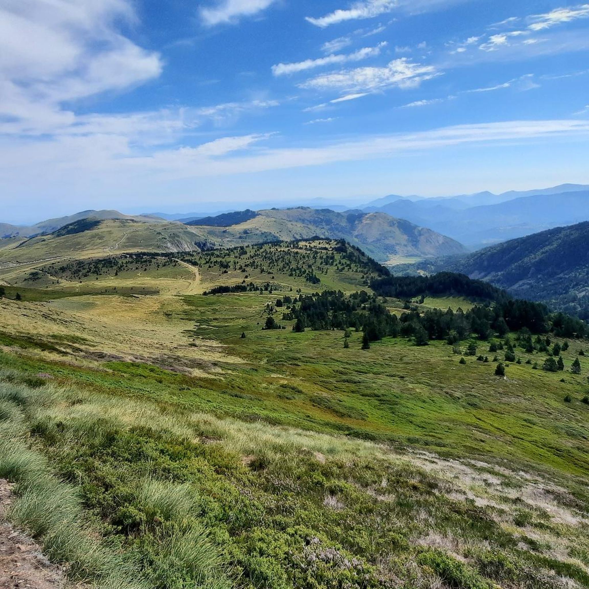
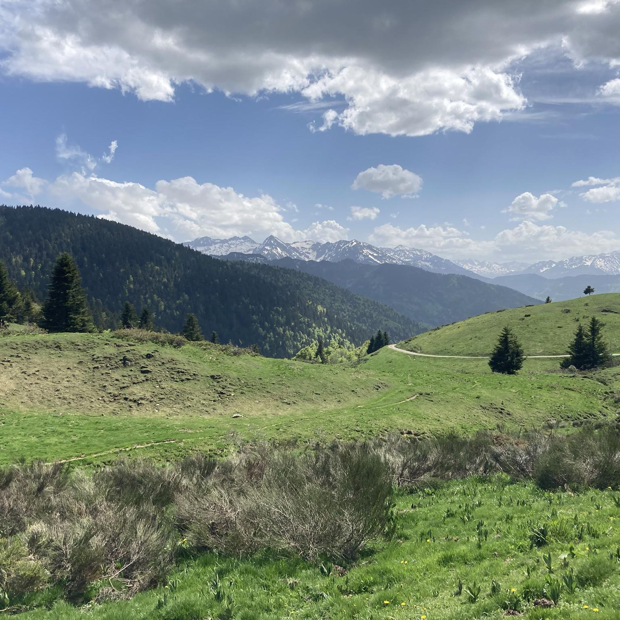

Other adventures around La Fajolle

Tips from the Community

Magnificent landscape at the summit of the peak. Pretty flower and some horses Nice hike don't forget to drink... water
0
0

Nice climb, there are signs at the rocky parts, if the top is in the clouds the trails are also slippery, but it is more than worth the nice climb.
16
0

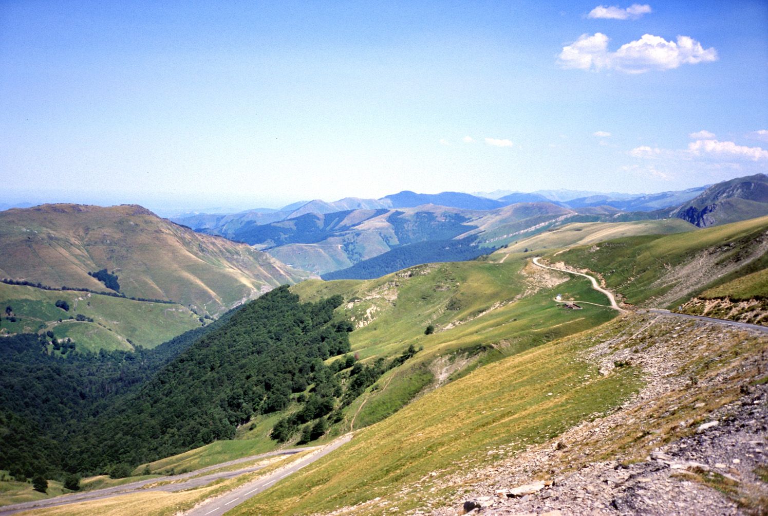
One of the best experiences on my entire tour. I have this picture with the view of the mountains as my screen background. The roads are still closed, the snow is piled up meters high on the sides and at the same time there is not a single car on the road. Simply fantastic
1
0

The Pierre Blanche pass is located at an altitude of 1,551 meters. This mountain pass offers a beautiful view of the surrounding peaks.
1
0
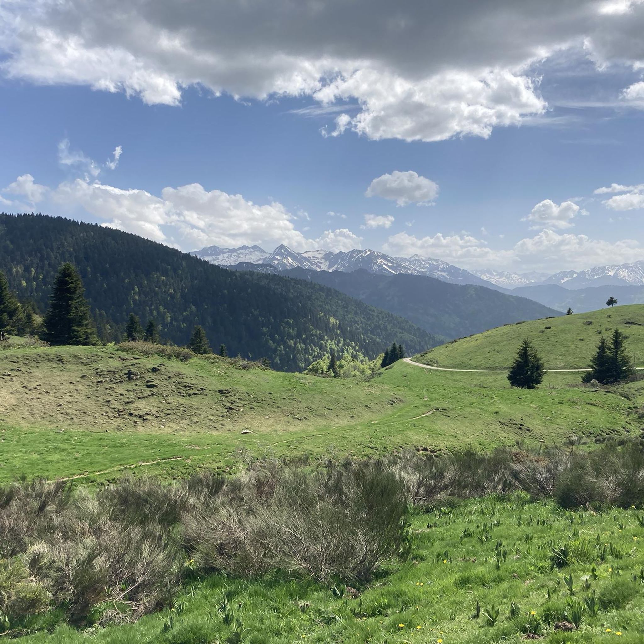
360 degree view of the Pays de Sault
0
0

gorgeous view! and the way from there down to the lakes is definitely worth securing.
1
1

The Sarrat de l'Étang is a summit located on the heights of Ax-les-Thermes. Culminating at 1,127 meters above sea level, it offers a beautiful panorama over the Oriège valley.
1
0
The Sarrat de l'Étang is a summit located on the heights of Ax-les-Thermes. Culminating at 1,127 meters above sea level, it offers a beautiful panorama over the Oriège valley.
0
0
Frequently Asked Questions
What are some of the most notable mountain peaks and passes around La Fajolle?
Beyond the immediate vicinity of La Fajolle, the region offers several significant peaks and passes. Pic de Tarbesou, at 2,364 meters, provides a magnificent belvedere overlooking the Rabassoles ponds. The Pailhères Pass, reaching 2,001 meters, is an emblematic Pyrenean pass known for its challenging climbs and high mountain scenery. For a more accessible viewpoint, Sarrat of the Pond offers a beautiful panorama over the Oriège valley from 1,127 meters.
Are there any challenging mountain peaks for experienced hikers near La Fajolle?
While not immediately adjacent to La Fajolle, the wider Occitanie region, particularly the Pyrénées-Orientales department, offers challenging ascents. Pic Carlit (2,921 meters) is the highest peak in the French Pyrénées-Orientales, involving a significant elevation gain and some rock scrambling. Another demanding climb is Pic de Finestrelles (2,826 meters), located on the border of France and Spain, which rewards hikers with stunning panoramic views.
What kind of views can I expect from the mountain peaks in the area?
The mountain peaks around La Fajolle and in the broader region offer diverse and breathtaking views. From Pic de Tarbesou, you can enjoy a magnificent belvedere overlooking the Rabassoles ponds. The Pailhères Pass provides stunning high mountain scenery. Further afield, Pic Carlit offers a 360-degree panorama of the Pyrenean chain, the Canigó massif, and numerous glacial lakes, while Pic de Finestrelles boasts panoramic views of the Nuria Sanctuary and valley.
Are there any mountain peaks that are more accessible or suitable for a less strenuous visit?
Yes, for a more accessible experience, Mount Llaret (2,376 meters) in the Pyrénées-Orientales is a good option. It's accessible from the resort of Les Angles and can even be reached by ski lifts from the station, making it suitable for visitors looking for views without a strenuous climb. Closer to La Fajolle, Sarrat of the Pond is a summit at 1,127 meters offering a beautiful panorama that is less demanding to reach.
What outdoor activities can I do near the mountain peaks around La Fajolle?
The area around La Fajolle is excellent for various outdoor activities. You can find numerous mountain hikes, such as the 'Étang Bleu – Étang Noir loop from Port de Pailhères' or the 'Refuge d'En Beys loop from Le Fanguil-Chalet'. There are also dedicated running trails, including the 'Le Pic de Tarbesou - trail loop starting from the Col de Pailhères car park'. For cyclists, MTB trails like the 'Roquefeuil Village Center – Pauzeplek Roquefeuil loop' offer exciting rides. You can explore more routes on the Mountain Hikes around La Fajolle, Running Trails around La Fajolle, and MTB Trails around La Fajolle guide pages.
What is the best time of year to visit the mountain peaks near La Fajolle?
The best time to visit the mountain peaks around La Fajolle largely depends on the activity. For hiking and enjoying the high mountain scenery, late spring to early autumn (June to September) typically offers the most favorable weather conditions, with less snow and milder temperatures. During early June, you might also witness the traditional transhumance, where livestock are moved to higher pastures.
Are there any specific natural features or landmarks to look out for?
Yes, the region is rich in natural features. The Pic de Tarbesou overlooks the beautiful Rabassoles ponds. The ascent to Pic Carlit involves traversing a series of stunning glacial lakes. The area around Pic de Finestrelles features diverse alpine landscapes with granite formations and high-altitude meadows. Additionally, Mount Llaret overlooks Lake Aude, which is the source of the Aude river.
What are some of the less crowded mountain trails or viewpoints in the area?
While specific crowd levels can vary, exploring trails that venture slightly off the most popular routes can offer a more tranquil experience. The Pays de Sault plateau, where La Fajolle is located, is characterized by dense woodlands and offers numerous picturesque hiking opportunities that might be less frequented than the major Pyrenean peaks. Consider exploring local routes like the 'Boucle au-dessus du Col du Pradel' for a rewarding experience away from the busiest spots.
Can I find family-friendly hiking options near La Fajolle's mountain peaks?
While some of the higher peaks require experienced hikers, there are family-friendly options in the broader region. The Pays de Sault plateau offers various hiking opportunities with elevations between 990 and 1310 meters, which can include less strenuous paths suitable for families. When planning, look for routes with moderate distances and lower elevation gains, and always check the specific trail difficulty before heading out with children.
What are the rules for dog-friendly hiking on the mountain trails?
Regulations for dog-friendly hiking can vary by specific trail, protected area, or national park. Generally, dogs are often permitted on trails but should be kept on a leash, especially in areas with livestock or wildlife, and owners are expected to clean up after their pets. It's always advisable to check local signage or specific park regulations for the particular trail you plan to visit to ensure compliance.
Where can I find accommodation or places to eat near the mountain peaks?
La Fajolle itself offers local attractions and serves as a gateway to the region. For accommodation and dining, you'll find options in La Fajolle and nearby villages. The region is known for its gites, chambres d'hotes, and local restaurants and cafes that cater to visitors exploring the natural beauty of the Pays de Sault and surrounding mountains.
What is the difficulty level of the mountain peaks and trails around La Fajolle?
The difficulty varies significantly. Local trails directly around La Fajolle, such as the 'Boucle au-dessus du Col du Pradel', can be challenging with a maximum altitude of 1856 meters. Higher peaks like Pic de Tarbesou (2,364 meters) and the Pailhères Pass (2,001 meters) involve intermediate to challenging climbs, with some sections having steep gradients. The most distant peaks like Pic Carlit and Pic de Finestrelles are considered challenging and suitable for experienced hikers due to significant elevation gains and technical sections.
Most popular routes around La Fajolle
Most popular attractions around La Fajolle

Get inspired with the komoot mobile app


Explore more
See even more amazing summits around La Fajolle with these guides:
