The best cycling routes around Lesparrou
4.7
(223)
1,763
riders
151
rides
Touring cycling routes around Lesparrou, located in the Ariège department, offer access to diverse landscapes from the Pyrenees foothills to flatter Cathar country. The region features quiet roads winding through forests, valleys, and medieval villages, alongside dedicated "Voies Vertes" (Greenways). This varied terrain provides options for different cycling preferences, including undulating routes and gentler paths along river valleys.
Best touring cycling routes around Lesparrou
- The most popular touring cycling route is Climb Col de Pailhères – Marmare Pass loop from…
Last updated: July 4, 2026
18
riders
73.1km
04:54
1,070m
1,070m
Hard bike ride. Very good fitness required. Mostly paved surfaces. Suitable for all skill levels.
5.0
(1)
11
riders
71.8km
04:56
1,270m
1,270m
Hard bike ride. Very good fitness required. Mostly paved surfaces. Suitable for all skill levels.

Sign up for free
5.0
(4)
13
riders
17.2km
01:29
170m
160m
Moderate bike ride. Good fitness required. Mostly paved surfaces. Suitable for all skill levels.
5.0
(1)
9
riders
19.9km
01:27
280m
280m
Moderate bike ride. Good fitness required. Mostly paved surfaces. Suitable for all skill levels.
8
riders
18.0km
01:24
210m
210m
Moderate bike ride. Good fitness required. Mostly paved surfaces. Suitable for all skill levels.
Get access to more routes and recommendations from other explorers.
Sign up for free
Already have an account?
Our route recommendations are based on thousands of hikes, rides, and runs completed by other people on komoot.
Start today with a free account
Your next adventure awaits.
Login or Signup


Tips from the Community

The Col de Marmare-Chioula is an 18.6-kilometer long Category 1 pass. It is located in Luzenac.
16
0
The Col de Marmare from Luzenac is a climb in the Ariège region. It is 16.8 kilometers long and climbs 828 meters.
0
0
The Col du Chioula from Prades is a climb in the Ariège region. It is 2.3 kilometers long and climbs 72 meters.
0
0
The Croix des 7 Frères is a small, inconspicuous summit and the start of a nice ride in the area.
17
0
1253 meters high, you can reach it via asphalt or gravel road
6
0
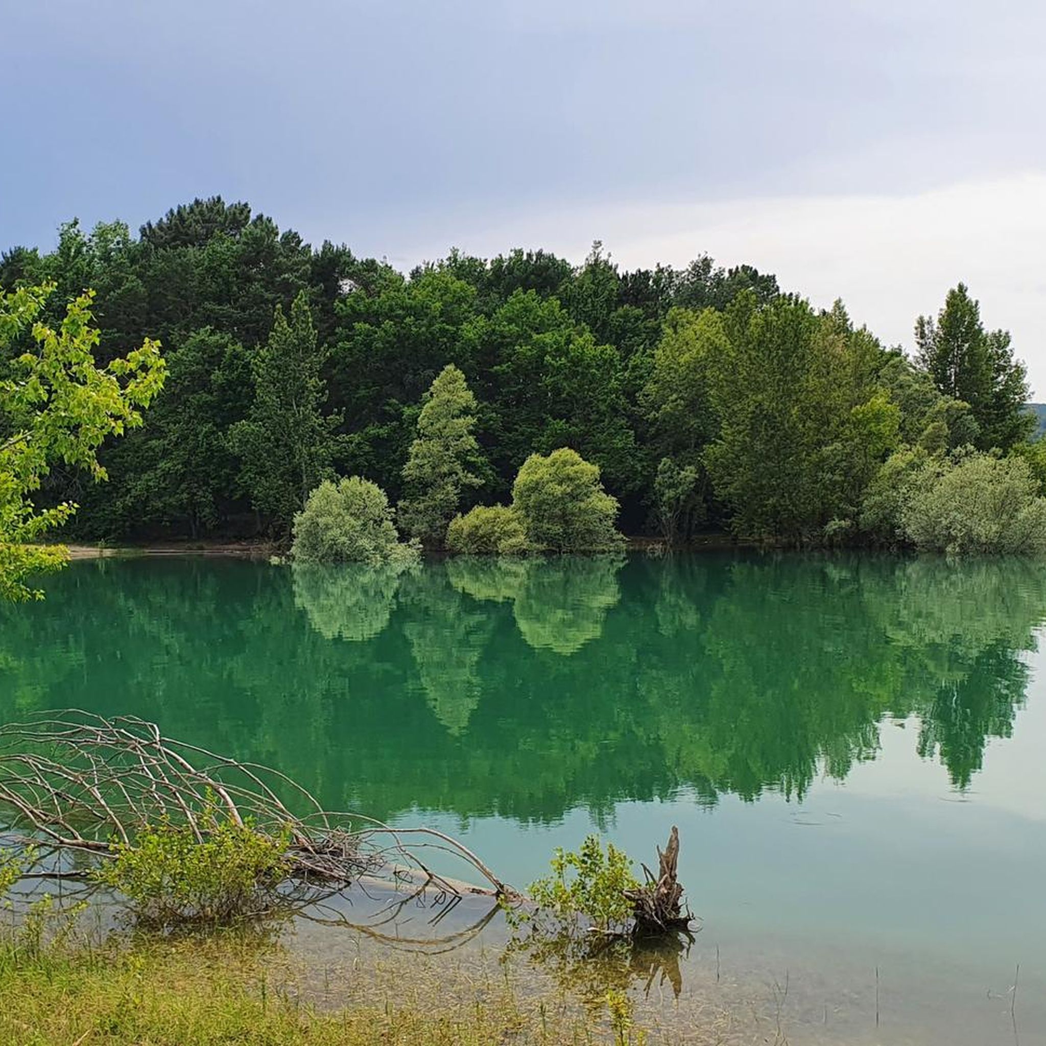
nice lake with catering facilities
6
0
small mountain lake near Belcaire a camping and large parking lot
6
0

Puivert is located between Razès to the north and the Sault region to the south. It is part of Quercorb. The name of this small natural region of Languedoc is not very well known. On the other hand, the commune itself is famous.
0
0
Frequently Asked Questions
How many touring cycling routes are there around Lesparrou?
There are over 130 touring cycling routes available around Lesparrou, offering a wide range of options for different skill levels and preferences. The komoot community has highly rated these routes, with an average score of 4.6 stars.
What kind of terrain can I expect on touring cycling routes near Lesparrou?
The terrain around Lesparrou is diverse, ranging from the challenging foothills of the Pyrenees to gentler, rolling landscapes of Cathar Country. You'll find quiet roads winding through forests and valleys, as well as dedicated "Voies Vertes" (Greenways) that follow former railway lines, providing varied and engaging rides.
Are there routes suitable for beginners or families?
Yes, the region caters to all levels. While many routes involve significant climbs, there are also easier, well-maintained greenways and quiet roads in valleys perfect for beginners and families. For example, the "Voie Verte" between Lavelanet and Mirepoix offers an easy 38 km path on a former railway line.
What historical sites or natural attractions can I visit while cycling near Lesparrou?
The area is rich in history and natural beauty. You can cycle past dramatic Cathar castles like Montségur Castle (just 8 km from Lesparrou) or explore charming villages such as Camon and Mirepoix. Natural features include the Ariège Pyrenees Regional Natural Park, rivers like the Hers, and the unique Fontaine Intermittente de Fontestorbes, located only 4 km away.
What are some of the more challenging touring cycling routes in the Lesparrou area?
For experienced cyclists seeking significant climbs, routes like Climb Col de Pailhères – Marmare Pass loop from Bélesta offer substantial elevation gain through the Pyrenees foothills. Another challenging option is the Puivert Lake. – Puivert Castle loop from Bélesta, which explores varied terrain and historical sites.
What is the best time of year for touring cycling around Lesparrou?
The Ariège region generally offers pleasant cycling conditions from spring through autumn. Spring and early autumn provide comfortable temperatures and vibrant landscapes. Summer can be warm, especially in the valleys, but higher mountain passes offer cooler air. Always check local weather forecasts before heading out.
Where can I park my car when starting a touring cycling route in Lesparrou?
While specific parking locations for every route are not detailed, Lesparrou and nearby villages like Bélesta often have public parking areas suitable for starting your cycling tour. For routes utilizing greenways, look for parking near the start points in towns like Lavelanet or Mirepoix. It's advisable to check local signage upon arrival.
Is public transport available for cyclists in the Lesparrou region?
While Lesparrou is a smaller community, the broader Ariège and Occitanie regions are increasingly promoting cycle tourism. Regional buses or trains in larger nearby towns like Foix or Ax-les-Thermes may offer options for transporting bikes, though services can vary. It's best to check with local transport providers for specific routes and bike policies.
Do I need any special permits to cycle in the Lesparrou area?
Generally, no special permits are required for touring cycling on public roads and designated cycling paths in the Lesparrou area. However, if you plan to cycle through specific protected natural reserves or private lands, it's always wise to check for any local regulations or access restrictions.
What do other touring cyclists enjoy the most about touring cycling in Lesparrou?
The area is highly rated by the komoot community, with an average score of 4.6 stars from over 1500 touring cyclists. Reviewers often praise the blend of natural beauty, historical immersion, and the availability of quiet roads and greenways. The varied terrain, from challenging mountain passes to serene valleys, is also a frequently highlighted aspect.
Are there any circular touring cycling routes around Lesparrou?
Yes, many of the touring cycling routes around Lesparrou are designed as loops, allowing you to start and end in the same location. For example, the Col de Marmare (1361 m) – Col du Chioula loop from Bélesta is a popular circular route that takes you through mountain passes and quiet roads.
Most popular routes around Lesparrou
Most popular attractions around Lesparrou

Get inspired with the komoot mobile app


Explore more
Browse the best Cycling routes in other regions.
