The best running trails around Sant'Antonio
4.1
(16)
3,174
runners
188
runs
Jogging around Sant'Antonio offers diverse routes through a landscape characterized by significant lakes, mountainous terrain, and historic sites. The region features trails that traverse valleys, ascend hills, and provide views of iconic natural and cultural landmarks. This varied topography ensures a range of running experiences, from lakeside paths to more challenging mountain ascents.
Best jogging routes around Sant'Antonio
- The most popular jogging route is Lake Lugano Trail, a 10.0 miles (16.1 km) trail that takes 3 hours 22 minutes…
Last updated: July 7, 2026
16
runners
16.1km
03:22
1,150m
1,150m
Hard run. Very good fitness required. Sure-footedness, sturdy shoes and alpine experience required.
6
runners
8.38km
01:00
220m
220m
Moderate run. Good fitness required. Mostly accessible paths. Some sure footedness required.

Sign up for free
4
runners
10.6km
01:13
310m
310m
Hard run. Very good fitness required. Mostly paved surfaces. Suitable for all skill levels.
1
runners
4.74km
00:40
270m
270m
Moderate run. Good fitness required. Mostly paved surfaces. Suitable for all skill levels.
2
runners
4.74km
00:45
320m
320m
Hard run. Very good fitness required. Sure-footedness, sturdy shoes and alpine experience required.
Get access to more routes and recommendations from other explorers.
Sign up for free
Already have an account?
Our route recommendations are based on thousands of hikes, rides, and runs completed by other people on komoot.
Start today with a free account
Your next adventure awaits.
Login or Signup
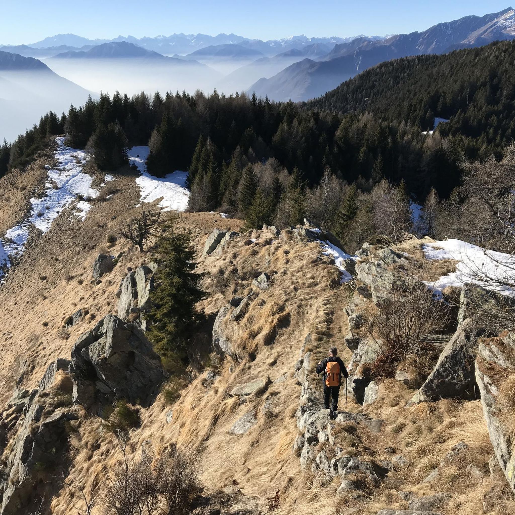
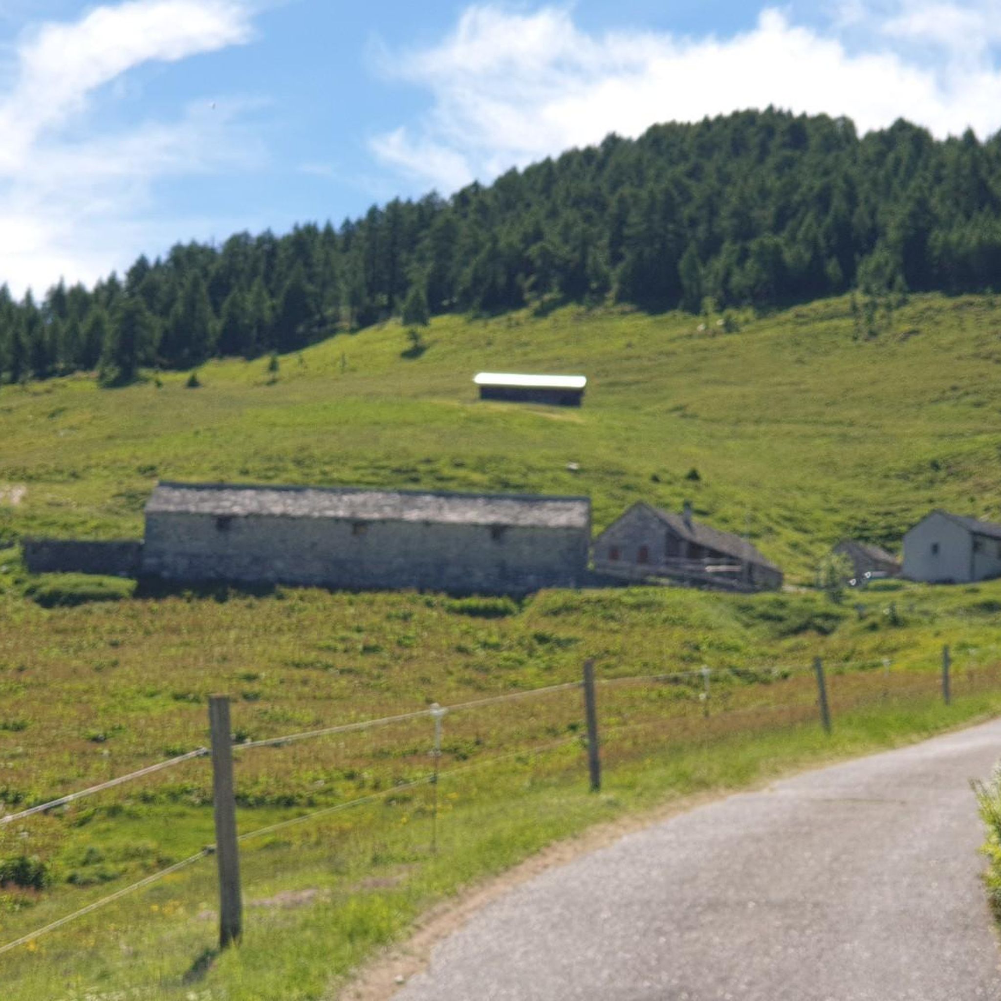
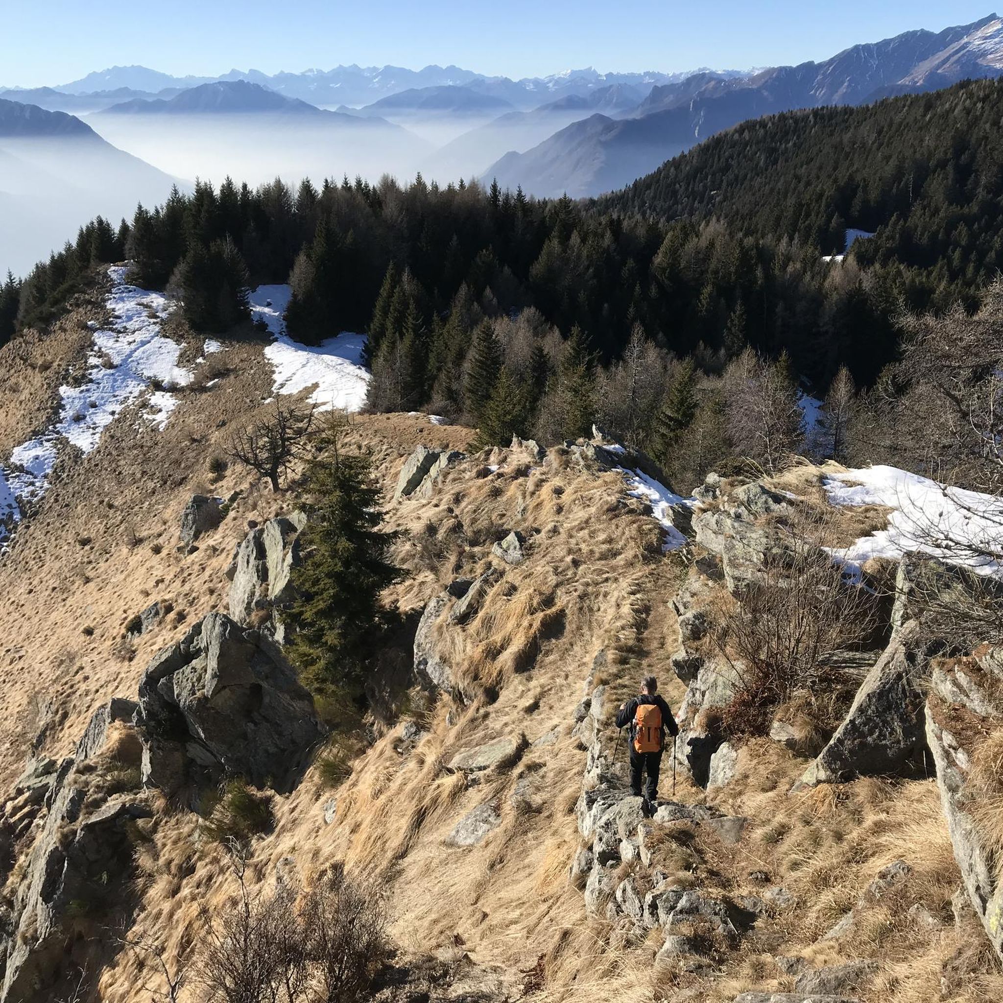
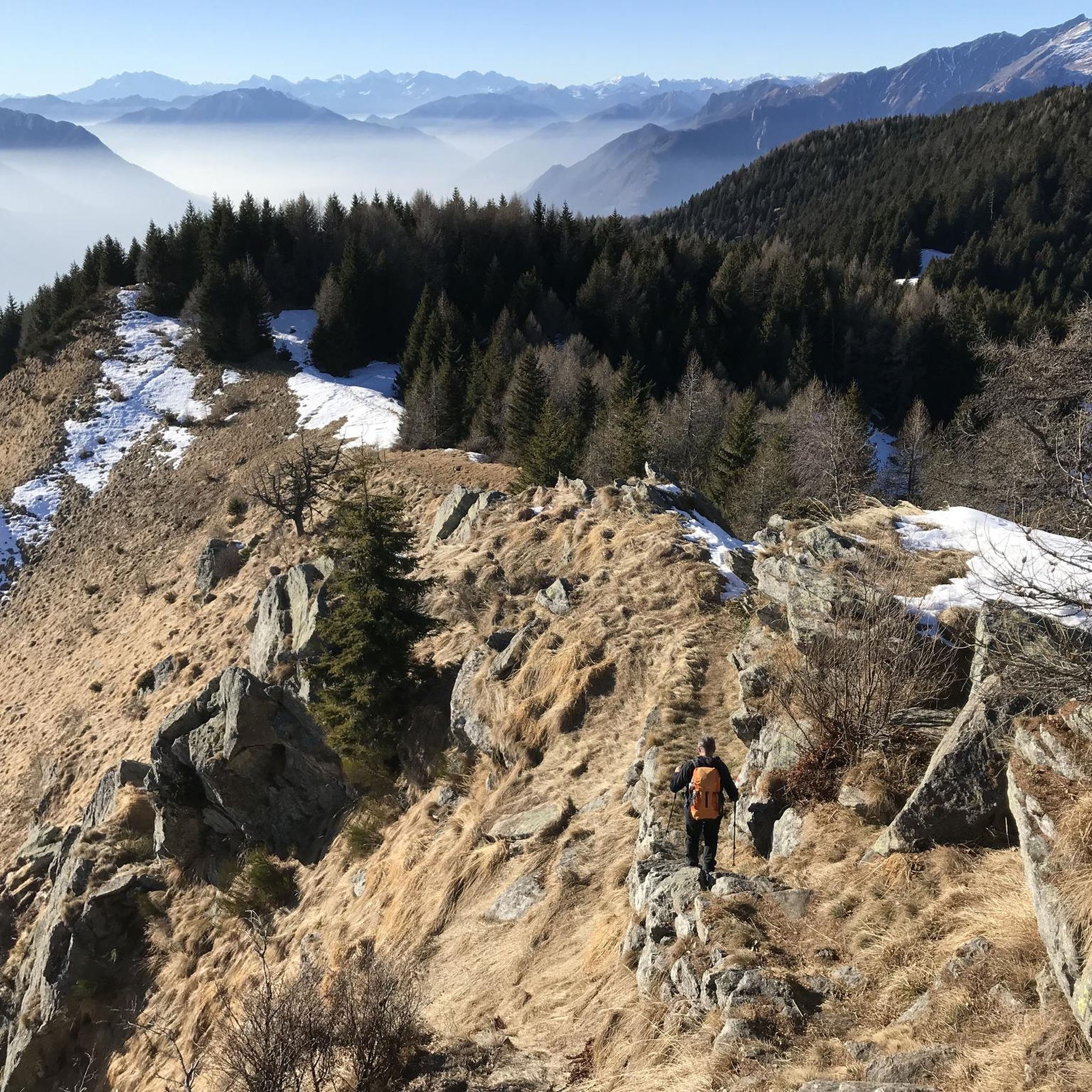

Tips from the Community

Description Features See also Opening hours 2025/2026 April 5, 2025 - November 9, 2025: 10:00 a.m. - 6:00 p.m. November 10, 2025 - March 27, 2026: 10:30 a.m. - 4:00 p.m. The first human settlement on San Michele Hill dates back to 5500/5000 BC (Neolithic period). The first archaeologically confirmed fortress was built in the 4th century AD. Various documents from the 6th century also mention the existence of a fortified complex. In the 14th century, the castle was first called Castrum Magnum, Castel Grande. This is its current name, although during Swiss rule it was called Uri Castle (1630) or Altdorf Castle, and in 1818, S. Michele Castle.
4
0

Border pass between Italy and Switzerland, once an important route for smuggling and partisan warfare in the area. On the Italian side, the trail is easily accessible by mountain bike, although gravel riding is also a challenge, especially along the last two kilometers from Giovo. The pass is located at an altitude of 2,000 meters, and just below is the refuge of the same name. A stunning setting, largely untouched by human activity.
0
0
Open from June to September, this very welcoming refuge is located a few meters below the pass of the same name. The last 2 km are very difficult for gravel bikes, with a very rough road. The final section becomes paved with large stones, with gradients always above 10°. Stunning view and a large selection of snacks for those arriving.
0
0

The "Fortini della Fame" – Hunger Fortresses or Hunger Towers – are historical monuments closely linked to the turbulent history of the 19th century. These cylindrical structures are the remaining remnants of a fortification system consisting of 36 towers. Five towers still stand today above Camorino. This is tower no. 5: "Al Pian di Bur." The tower has been renovated and serves as an energy museum.
1
0
The "Fortini della Fame" – Hunger Fortresses or Hunger Towers – are historical monuments closely linked to the turbulent history of the 19th century. These cylindrical structures are the remaining remnants of a fortification system consisting of 36 towers. Five towers still stand today above Camorino. This is tower number 4: "Al Sass del Camósc."
1
0
The "Fortini della Fame" – Hunger Fortresses or Hunger Towers – are historical monuments closely linked to the turbulent history of the 19th century. These cylindrical structures are the remaining remnants of a fortification system consisting of 36 towers. Five towers still stand today above Camorino. This is Tower No. 3: "Ala Pélera"
1
0
The "Fortini della Fame" – Hunger Fortresses or Hunger Towers – are historical monuments closely linked to the turbulent history of the 19th century. These cylindrical structures are the remaining remnants of a fortification system consisting of 36 towers. Five towers still stand today above Camorino. This is Tower No. 2, "Ai Munt."
1
0

Frequently Asked Questions
How many running routes are available in Sant'Antonio?
There are over 190 running routes around Sant'Antonio, offering a wide variety of experiences from lakeside paths to challenging mountain trails. This includes 9 easy routes, 91 moderate routes, and 93 difficult routes, ensuring options for every fitness level.
What kind of terrain can I expect on jogging trails in Sant'Antonio?
Jogging routes in Sant'Antonio feature diverse terrain, ranging from scenic lakefront paths along significant lakes like Lake Lugano to mountainous ascents and descents. You'll encounter trails that traverse valleys, climb hills, and explore historic sites, providing varied surfaces and elevation changes.
Are there any family-friendly running routes in Sant'Antonio?
While the guide highlights several challenging routes, Sant'Antonio also offers 9 easy routes that are generally more suitable for families or those looking for a less strenuous run. These often feature gentler inclines and more accessible paths, though specific family-friendly amenities would need to be checked per route.
Can I bring my dog on the running trails in Sant'Antonio?
Many outdoor trails in the region are dog-friendly, but it's always best to check specific regulations for each route or park. Generally, dogs are welcome on leash, especially on natural trails, but some protected areas or urban sections might have restrictions.
What are some scenic running routes with good viewpoints in Sant'Antonio?
For breathtaking views, consider routes that ascend into the mountainous terrain. The Lake Lugano Trail, for instance, offers extensive views of the lake and surrounding hills. Additionally, you can find specific viewpoints like Motto della Croce viewpoint and Musso Rock, which are accessible via various trails and offer panoramic vistas.
Are there any running routes that explore historical sites in Sant'Antonio?
Yes, the region is rich in history. The Three Castles of Bellinzona Trail is an excellent option, allowing you to explore the historic fortifications of Bellinzona while enjoying a scenic run. This route blends cultural heritage with outdoor activity.
What do other runners say about the trails in Sant'Antonio?
The running routes in Sant'Antonio are highly rated by the komoot community, with an average score of 3.9 stars from 11 reviews. Runners often praise the diverse terrain, from scenic lakefront paths to challenging mountain trails, and the blend of natural beauty with historic landmarks.
Are there any circular running routes in Sant'Antonio?
Yes, many routes in Sant'Antonio are designed as loops. For example, the Lake Como High Route: Passo San Jorio Loop is a circular trail that offers a challenging yet rewarding experience through mountainous terrain.
What are some challenging running routes for experienced runners in Sant'Antonio?
Experienced runners looking for a challenge will find many difficult routes, which make up nearly half of the available trails. The Lake Lugano Trail is a difficult 10-mile route with significant elevation gain, and the Laghi di Roggio – race starting from Rifugio Giovo is another demanding option with considerable ascent.
Are there any mountain peaks or summits accessible near Sant'Antonio's running routes?
Yes, the region is characterized by mountainous terrain. You can find several peaks and summits nearby, such as Cima di Medeglia Summit Cross and Sasso Grande (Denti della Vecchia), which offer incredible views and can be incorporated into longer, more challenging runs or hikes.
What is the typical duration for a running route in Sant'Antonio?
Running route durations vary significantly based on distance and difficulty. For example, the Three Castles of Bellinzona Trail is a moderate 5.2-mile path that typically takes about 1 hour to complete, while the more challenging Lake Lugano Trail, at 10 miles, can take over 3 hours.
Are there any huts or refuges along the running trails in Sant'Antonio?
Yes, in the mountainous areas, you might find huts or refuges that can serve as rest stops or points of interest. For instance, the San Jorio Hut is located in the vicinity and could be a destination or waypoint on a longer running adventure.
Most popular routes around Sant'Antonio
Most popular attractions around Sant'Antonio

Get inspired with the komoot mobile app


Explore more
Browse the best Running Trails & Routes in other regions.
