The best mountain hikes around Torricella-Taverne
5.0
(10)
77
hikers
5
hikes
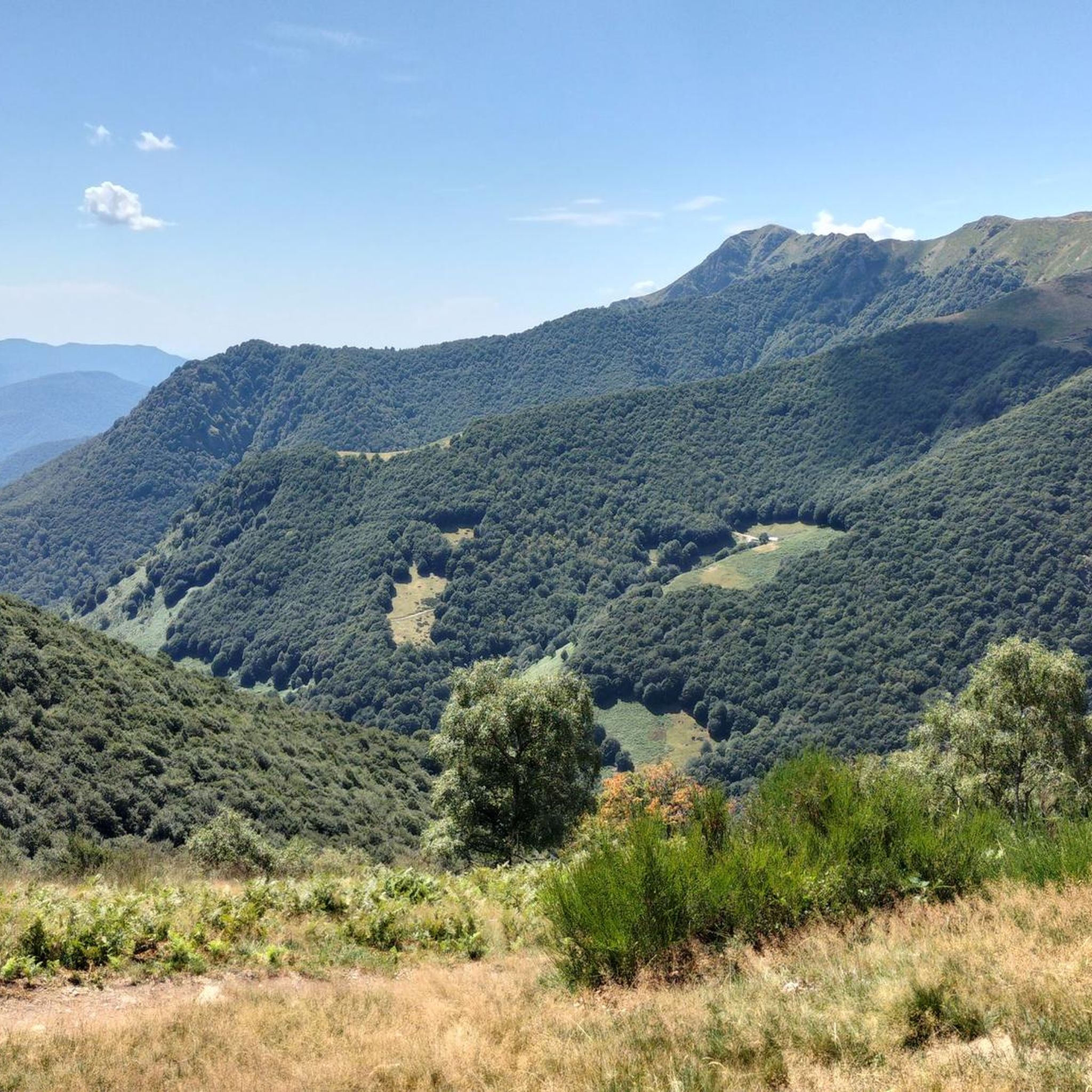
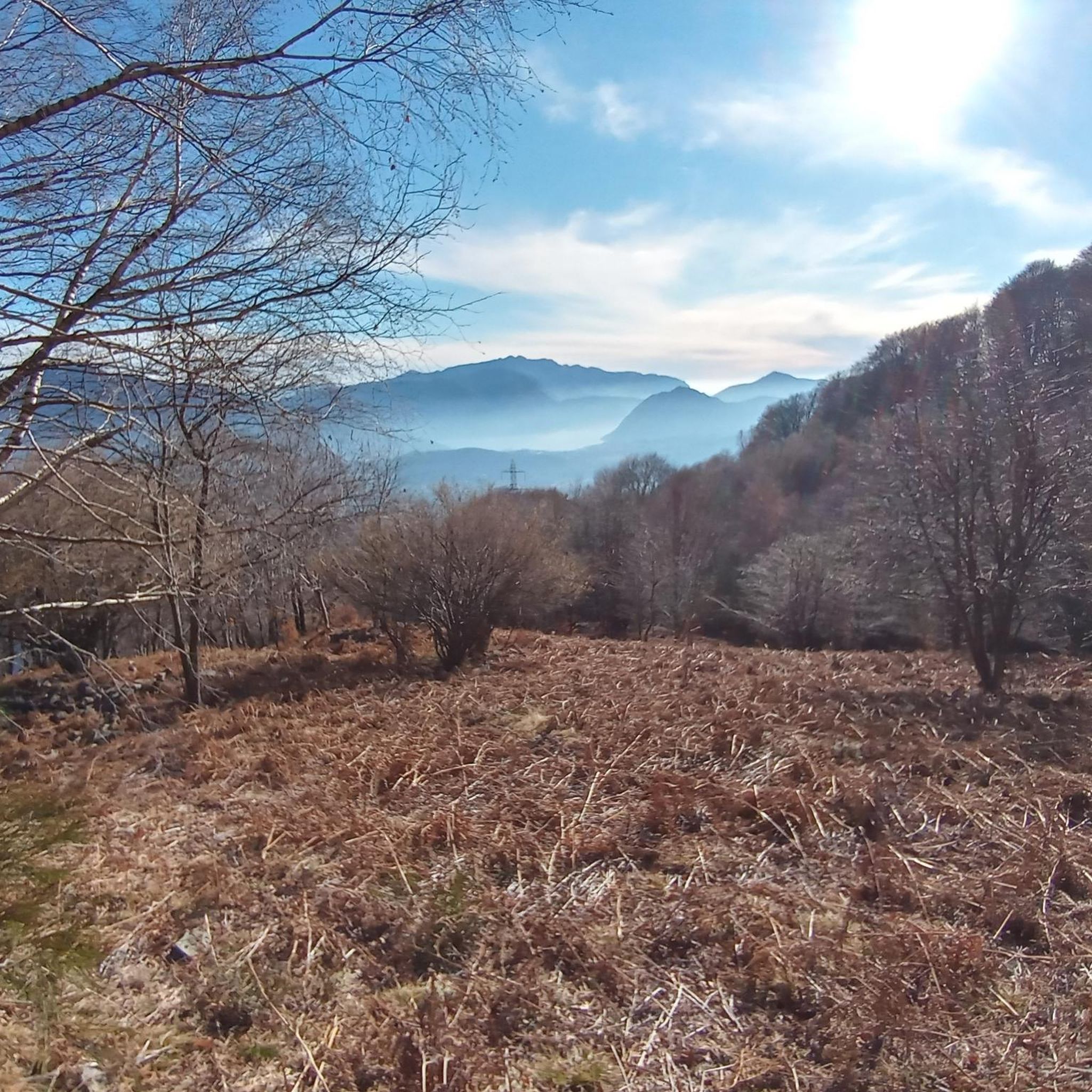
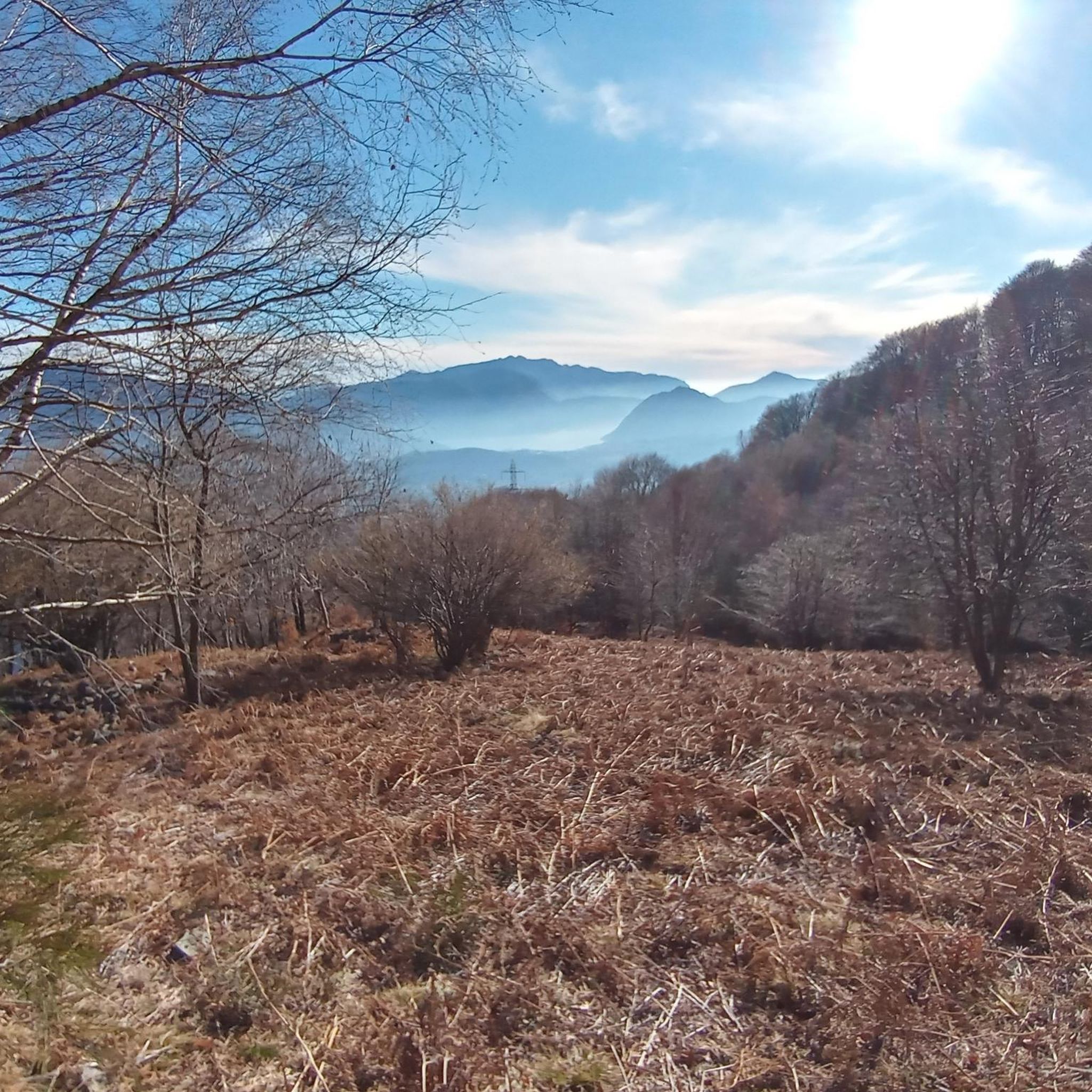
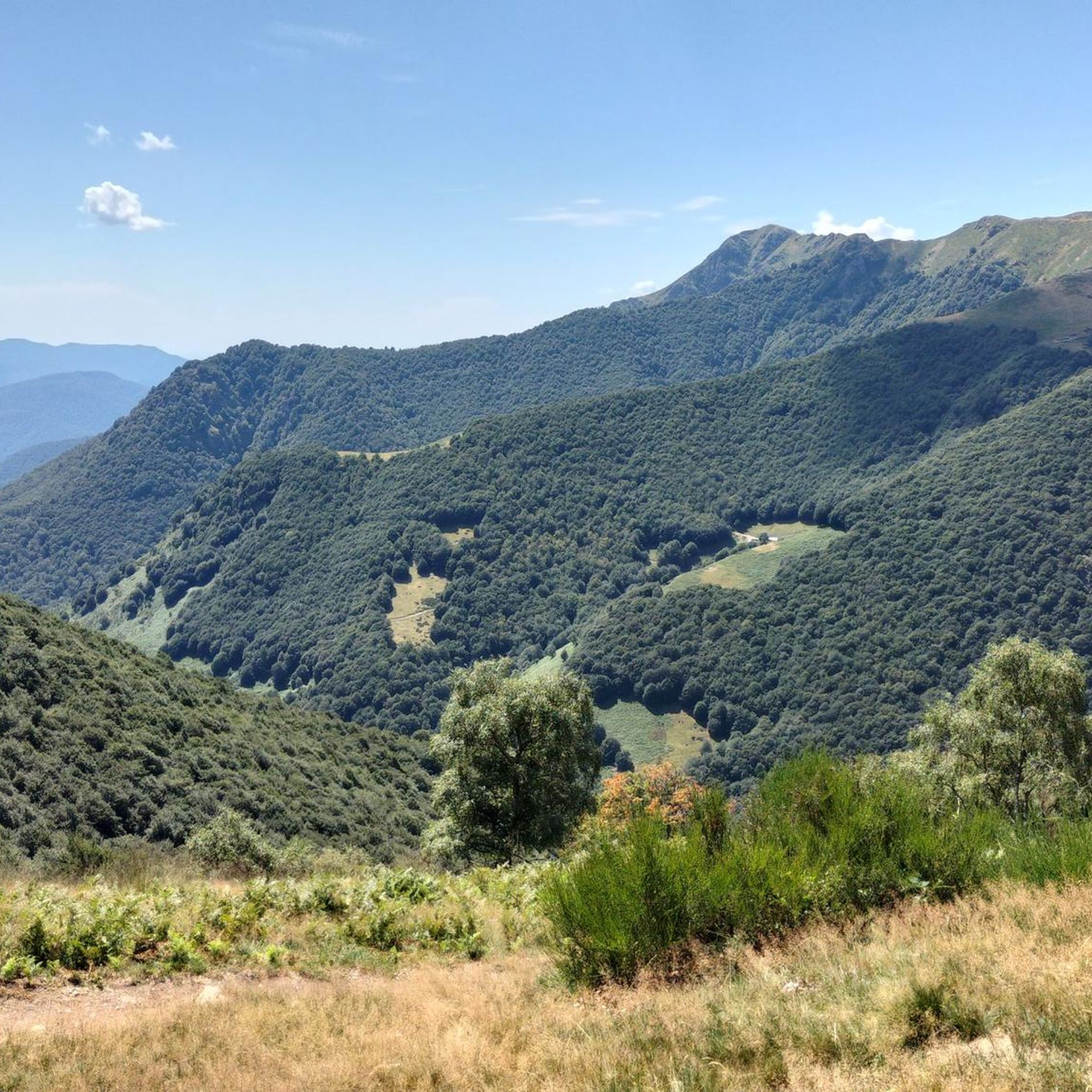
Mountaineering routes near Torricella-Taverne, located in Switzerland's Canton of Ticino, traverse a landscape of mountains, hills, and forests. The region features prominent peaks such as Monte Tamaro, which reaches 1,962 meters above sea level, and Cima di Medeglia at 1,260 meters. Routes often involve rocky terrain and offer extensive views of the surrounding area, including Lake Lugano and Lake Maggiore.
Best mountaineering routes around Torricella-Taverne
- The most popular mountaineering route is Alpe di Neggia Pass (1,395 m) – Summit of…
Last updated: October 1, 2026
5.0
(1)
7
hikers
6.29km
03:18
520m
520m
Moderate mountaineering route. Good fitness required. Mostly accessible paths. Sure-footedness required.
5.0
(3)
8
hikers
Moderate mountaineering route. Good fitness required. Mostly accessible paths. Sure-footedness required.

6
hikers
Moderate mountaineering route. Good fitness required. Mostly accessible paths. Sure-footedness required.
5
hikers
11.7km
05:20
900m
900m
Hard mountaineering route. Very good fitness required. Mostly accessible paths. Sure-footedness required.
5.0
(1)
4
hikers
8.78km
03:34
500m
500m
Moderate mountaineering route. Good fitness required. Mostly accessible paths. Sure-footedness required.
Our route recommendations are based on thousands of hikes, rides, and runs completed by other people on komoot.
Start today with a free account
Your next adventure awaits.


Tips from the Community

Very nice Ticino village. Accessible by Postauto.
0
0


The Capanna Tamaro is located at 1,870 meters altitude, below the Monte Tamaro. The mountain hut, managed by the Società Alpinistica Ticinese, offers simple sleeping places, regional cuisine, and a warm atmosphere. It is an ideal starting point for the ridge hike to Monte Lema or for the ascent of Monte Tamaro and delights with magnificent views of the Ticino mountain world.
4
0

Which direction would I like to take? Always so many possibilities to choose from here.
0
0
Always a beautiful destination for those starting from the valley or from Arosio.
0
0
Alpe Foppa is located at around 1500 meters above sea level and is a popular destination above Rivera. It is easily accessible by cable car to Monte Tamaro or on foot via various hiking trails. The Alp offers a magnificent view of the Ticino Alps and Lake Lugano. It is also known for the impressive chapel Santa Maria degli Angeli. In summer, hiking trails invite exploration, and in winter, snowshoe routes do the same. The combination of nature, tranquility, and architecture makes Alpe Foppa particularly attractive.
4
0
Nice and cozy restaurant on the summit
8
0
Frequently Asked Questions
What types of mountaineering routes can I find around Torricella-Taverne?
The Torricella-Taverne region offers a diverse range of mountaineering routes, from moderate ascents suitable for those with good fitness to more challenging, difficult routes requiring alpine experience. The terrain often features rocky sections, dense forests, and provides extensive views of Lake Lugano and Lake Maggiore. You'll find a balanced mix, with 5 moderate and 5 difficult routes available.
Are there any circular mountaineering routes in the area?
Yes, several routes are designed as loops, allowing you to start and finish in the same location. For example, the Alpe di Neggia Pass (1,395 m) – Summit of Mount Gambarogno loop from Monte Gambarogno is a moderate 10.2 km circular route. Another option is the more challenging Sasso Rosso – Monte Boglia loop from Brè sopra Lugano, covering 11.1 km.
What are some of the best viewpoints along the mountaineering trails?
Many routes offer panoramic views of the surrounding mountains and lakes. Peaks like Monte Tamaro and Cima di Medeglia are known for their expansive vistas. For instance, the Summit of Mount Gambarogno – Alpe di Neggia Pass (1,395 m) loop from Indemini provides significant elevation gain and expansive panoramas from high alpine terrain. You can also find stunning views from Monte San Salvatore.
Are there any family-friendly mountaineering options near Torricella-Taverne?
While mountaineering routes generally require good fitness, some moderate trails might be suitable for active families with older children. The region also offers easier hiking trails, such as the Chestnut Trail, which are more explicitly designed for family outings. Always check the specific route's difficulty and elevation gain before heading out with children.
Can I bring my dog on the mountaineering routes?
Many trails in the Ticino region are dog-friendly, but it's always recommended to keep your dog on a leash, especially in areas with livestock or wildlife. Be prepared for rocky terrain and ensure your dog is fit enough for the chosen route. Always carry enough water for both yourself and your pet.
What kind of natural features can I expect to see while mountaineering here?
The landscape around Torricella-Taverne is rich with natural beauty. You'll encounter a blend of mountains, verdant hills, and lush forests, with prominent features like Lake Lugano and Lake Maggiore. Notable peaks include Monte Tamaro and Cima di Medeglia, offering breathtaking views.
What do other mountaineers say about the routes in Torricella-Taverne?
The mountaineering routes around Torricella-Taverne are highly regarded by the komoot community, with an average rating of 5.0 stars from over 10 reviews. More than 100 mountaineers have explored this varied terrain, often praising the scenic mountain views and the diverse challenges offered by the trails.
Are there any historical sites or attractions near the mountaineering trails?
Yes, the region offers several interesting historical sites. You might encounter structures like the Redde Tower or the Ruins of Taverne Castle. Additionally, the Saint Mary of the Angels church is another notable point of interest.
What is the best time of year for mountaineering in Torricella-Taverne?
The best time for mountaineering in Torricella-Taverne is typically from late spring through early autumn (May to October), when the weather is generally stable and trails are clear of snow at lower to mid-altitudes. Higher peaks like Monte Tamaro might retain snow longer, so always check local conditions and forecasts before setting out.
Are there any indoor climbing facilities in Torricella-Taverne?
Yes, Torricella-Taverne is home to Evolution - Centro di Arrampicata, a significant indoor climbing facility. It boasts 1200 m² of floor area and 1400 m² of climbing surface, offering hundreds of routes and boulder problems suitable for all skill levels, from beginners to experienced climbers.
Where can I find more challenging mountaineering routes?
For those seeking a significant challenge, routes rated as 'difficult' are available. The Summit of Mount Gambarogno – Alpe di Neggia Pass (1,395 m) loop from Indemini is a demanding 11.4 km path with substantial elevation gain. Another difficult option is the Sasso Rosso – Monte Boglia loop from Brè sopra Lugano.
How many mountaineering routes are available in total around Torricella-Taverne?
There are 10 dedicated mountaineering routes detailed for the Torricella-Taverne area, offering a variety of experiences for different skill levels. These include 5 moderate and 5 difficult options.
Most popular routes around Torricella-Taverne
Most popular attractions around Torricella-Taverne

Get inspired with the komoot mobile app


Explore more
Browse the best Mountain Hikes & Routes in other regions.
