The best running trails around Belcaire
4.8
(16)
1,573
runners
99
runs
Jogging routes around Belcaire offer a diverse range of experiences in a preserved natural environment, nestled at an altitude of 1000 meters. The region features varied terrain, from the scenic paths around Belcaire Lake to more challenging trails in the Pyrenean foothills and through extensive pine forests. This area provides a compelling destination for runners seeking both gentle circuits and demanding mountain ascents.
Best jogging routes around Belcaire
- The most popular jogging route is Pic des Rives loop from Belcaire…
Last updated: July 4, 2026
5.0
(1)
13
runners
6.14km
00:59
400m
400m
Hard run. Very good fitness required. Mostly paved surfaces. Suitable for all skill levels.
8
runners
9.09km
01:15
410m
410m
Hard run. Very good fitness required. Mostly paved surfaces. Suitable for all skill levels.

Sign up for free
4
runners
10.4km
01:14
290m
290m
Moderate run. Good fitness required. Mostly paved surfaces. Suitable for all skill levels.
8
runners
21.5km
02:58
930m
930m
Hard run. Very good fitness required. Mostly paved surfaces. Suitable for all skill levels.
4
runners
11.9km
01:31
360m
360m
Hard run. Very good fitness required. Mostly paved surfaces. Suitable for all skill levels.
Get access to more routes and recommendations from other explorers.
Sign up for free
Already have an account?
Our route recommendations are based on thousands of hikes, rides, and runs completed by other people on komoot.
Start today with a free account
Your next adventure awaits.
Login or Signup

Tips from the Community

Nice climb, there are signs at the rocky parts, if the top is in the clouds the trails are also slippery, but it is more than worth the nice climb.
16
0
The Croix des 7 Frères is a small, inconspicuous summit and the start of a nice ride in the area.
17
0
1253 meters high, you can reach it via asphalt or gravel road
6
0

Fairly easy pass with average gradients of 5% on both sides.
5
0

Cross the forest of Bélesta, pass of the cross of the dead, Belcaire, pass of the 7 brothers, descent to Niort de Sault, climb of Espezel, then return via the maquis of Picaussel, the Babourade....an excellent route, very pleasant with a lot of shade.
0
0

Located at an altitude of 1,253 meters, this pass is approximately 11 kilometers from the Chioula pass when arriving from Ax-les-Thermes. The road that leads there is very pleasant and panoramic. You can also go up there from Niort-de-Sault for 10 kilometers at around 4%. Its name comes from the disappearance of seven brothers who froze to death after getting lost in a snowstorm.
0
0

360 degree view of the Pays de Sault
0
0

Between Andorra and Carcassonne
1
0
Frequently Asked Questions
How many running routes are available in Belcaire?
Belcaire offers a wide selection of running routes, with over 90 trails available for exploration. These routes cater to various fitness levels, from easy strolls to challenging mountain ascents.
What kind of terrain can I expect on running trails around Belcaire?
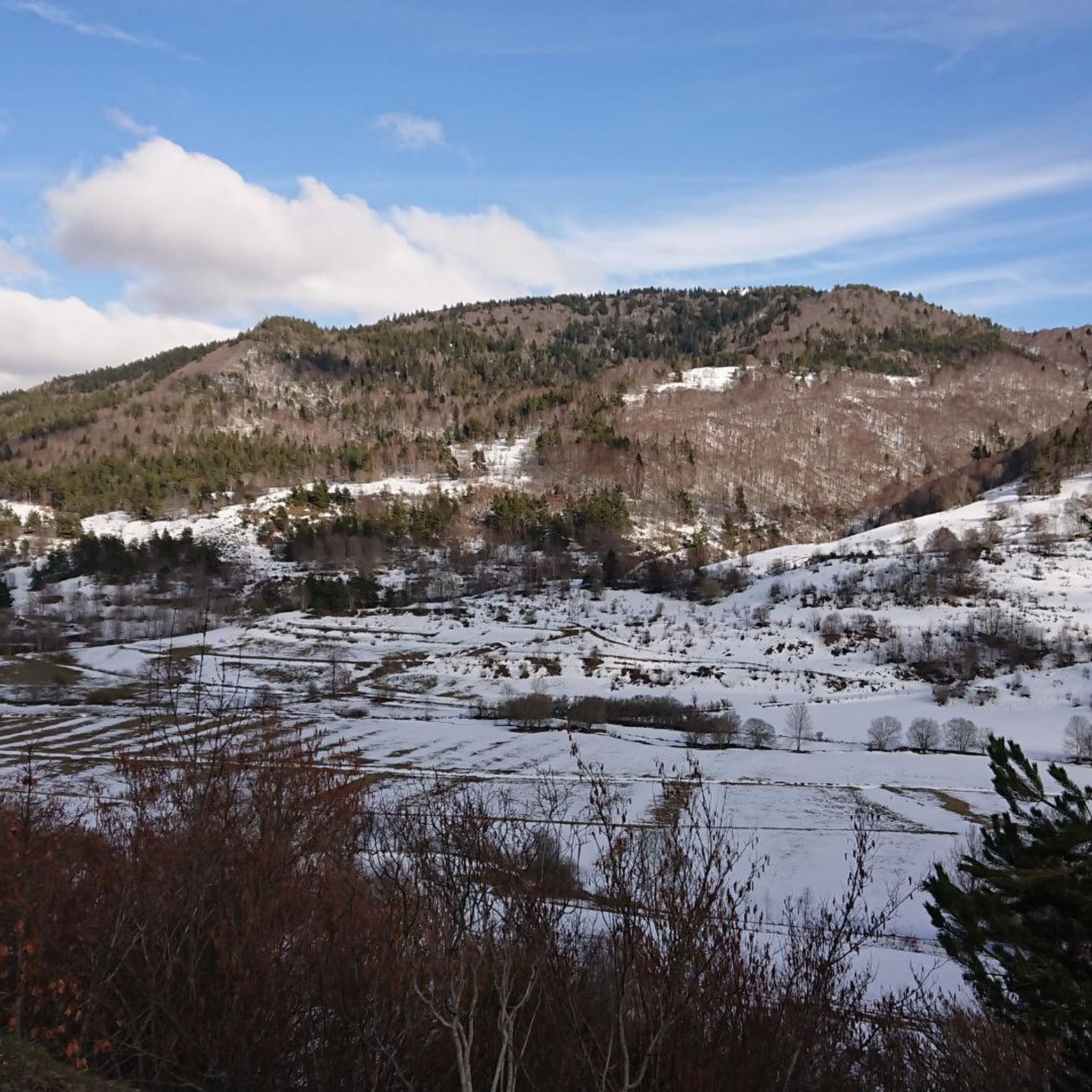
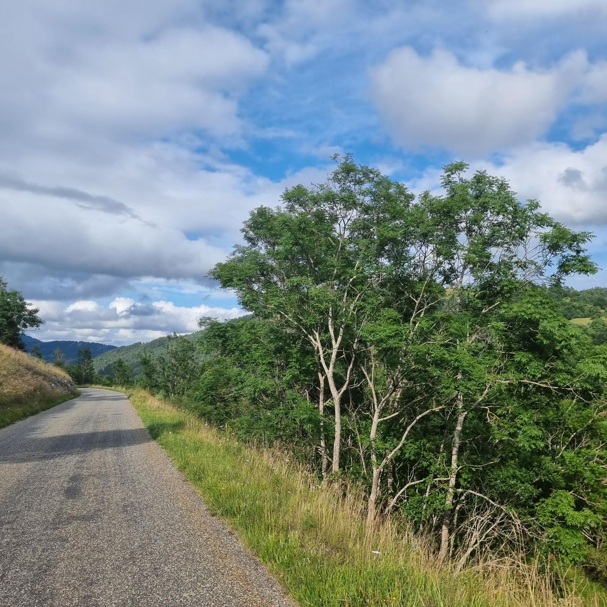
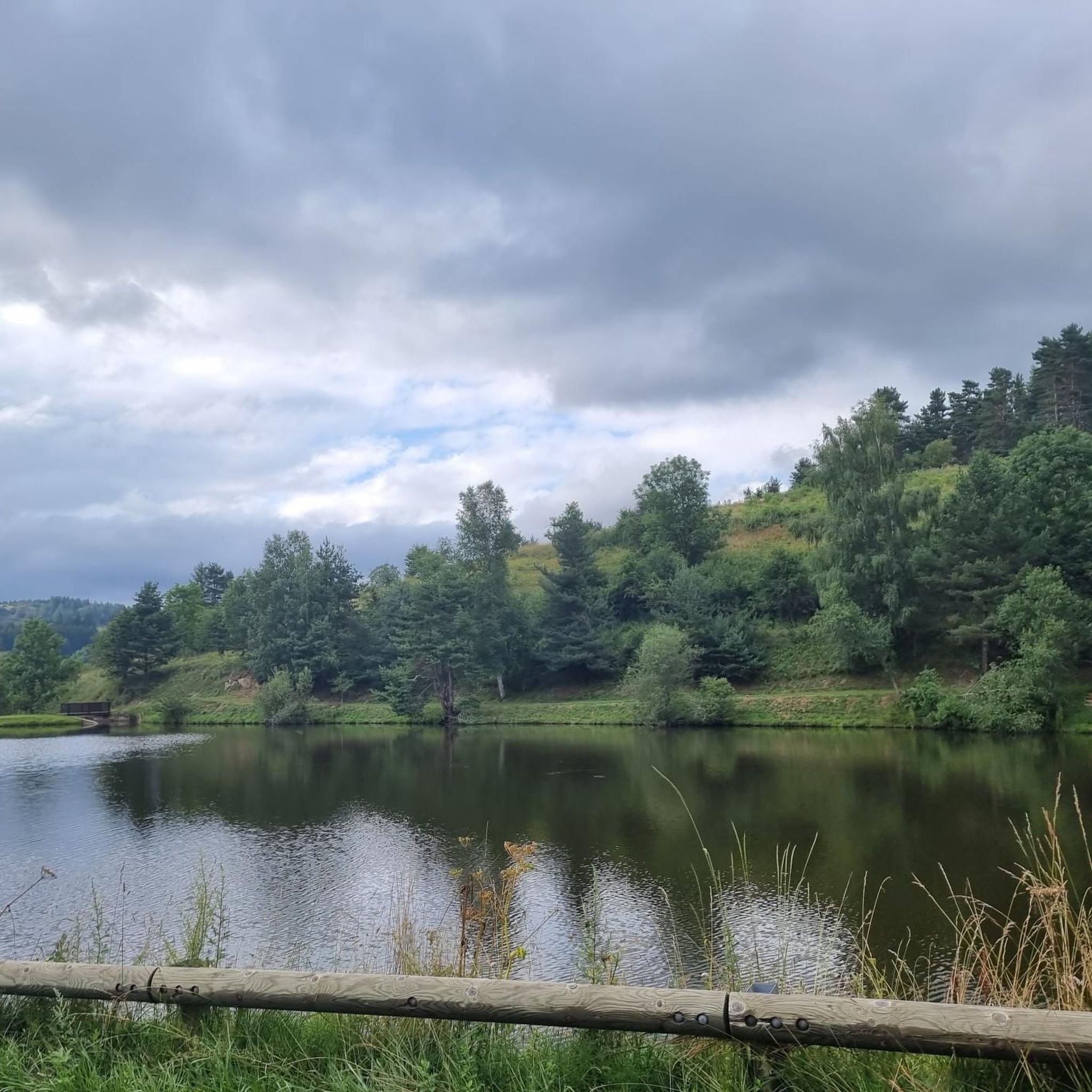
The running trails around Belcaire feature diverse terrain. You'll find paths winding through extensive fir forests, across plateaus and rolling green hills, and alongside the serene Belcaire Lake. Many routes also offer panoramic views of the Pyrenees, providing a stunning backdrop to your run.
Are there any easy or beginner-friendly running routes in Belcaire?
Yes, Belcaire has several options for easy and beginner-friendly running. While many routes offer a challenge, there are at least 4 easy trails perfect for a gentle jog or a leisurely walk. These often feature less elevation gain and more forgiving surfaces.
Can I find challenging running trails with significant elevation in Belcaire?
Absolutely. Belcaire is nestled in the Pyrenean foothills, offering plenty of challenging running trails. For instance, the Pic des Rives loop from Belcaire is a difficult 6.1 km trail with significant elevation gain, providing a demanding workout and rewarding views. Another challenging option is the Col des Sept Frères loop from Belcaire, a 9.1 km path known for its dramatic scenery and elevation changes.
What scenic spots or viewpoints can I discover while running near Belcaire?
Many running routes in Belcaire offer breathtaking scenic spots. You can enjoy panoramic views of the Pyrenees from trails like the Pic des Rives loop. The area also features natural attractions such as the tranquil Belcaire Lake, and nearby gorges like Gorges de la Frau, which can be explored on longer runs like the Gorges de la Frau loop from Courrent. Other notable landmarks include Pailhères Pass and Montségur Castle, which can be seen from various viewpoints.
Is Belcaire a good destination for family-friendly running or walks?
Yes, Belcaire is suitable for family-friendly activities. The area around Belcaire Lake provides a serene setting with facilities like picnic areas, making it ideal for easier runs or walks with children. The village's status as a 'station verte' also highlights its commitment to eco-tourism and outdoor recreation for all ages.
Are dogs allowed on the running trails around Belcaire?
While specific regulations can vary, generally, dogs are welcome on many outdoor trails in the Pays de Sault region, especially if kept on a leash. It's always advisable to check local signage or with the tourist office for any specific restrictions on certain routes or protected areas.
What do other runners enjoy the most about jogging in Belcaire?
The running routes in Belcaire are highly rated by the komoot community, with an average score of 4.9 stars. Reviewers often praise the diverse natural environment, the stunning Pyrenean views, and the variety of trails that cater to different fitness levels. The preserved natural setting and the peaceful atmosphere are frequently highlighted as key attractions.
When is the best time of year for running in Belcaire?
Belcaire offers excellent running conditions throughout much of the year. Spring and autumn provide pleasant temperatures and vibrant scenery. Summer is also popular, especially with the shade offered by the extensive fir forests. In winter, the area transforms, and while some trails may be suitable for winter running, others might require snowshoeing, so checking local conditions is recommended.
Are there any circular running routes in Belcaire?
Yes, many of the running routes around Belcaire are designed as circular loops, allowing you to start and finish at the same point. Popular examples include the Pic des Rives loop from Belcaire, the Col des Sept Frères loop from Belcaire, and the Ancien manoir loop from Belcaire, all offering convenient circular paths.
Where can I find parking for the running trails in Belcaire?
Parking is generally available in and around Belcaire village, especially near popular starting points like Belcaire Lake. Many trailheads are accessible by car, and maps available at the Tourist Office can provide specific parking information for various routes.
Most popular attractions around Belcaire

Get inspired with the komoot mobile app


Explore more
Browse the best Running Trails & Routes in other regions.
