The best mountain hikes around Chalais
5.0
(8)
72
hikers
10
hikes
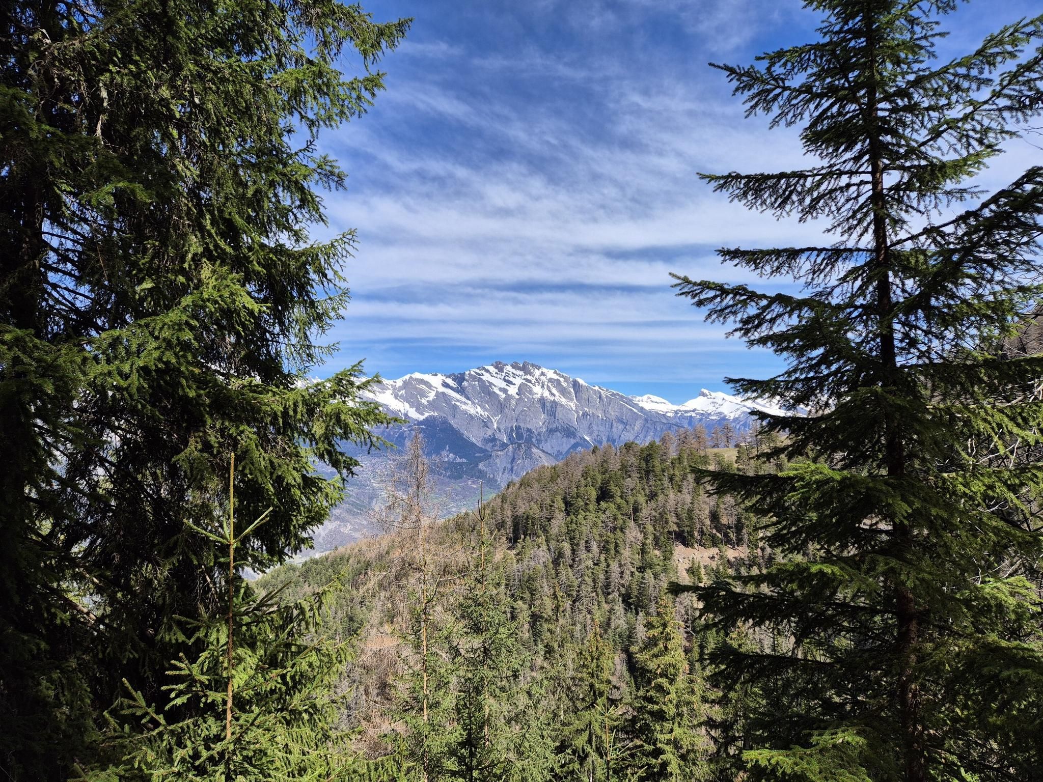
Mountaineering around Chalais, situated in the Valais region of Switzerland, offers diverse and dramatic natural landscapes. The area features alpine meadows, dense forests, and natural rock formations, providing a backdrop for alpine adventures. The broader Valais canton is known for its high summits and 4000-meter peaks, presenting significant alpine challenges. The terrain transitions from lush forests to higher alpine environments, with the Rhône River also prominent in the valley.
Best mountaineering routes around Chalais
- The most popular mountaineering route is…
Last updated: June 28, 2026
18
hikers
10.7km
05:10
800m
800m
Hard mountaineering route. Very good fitness required. Sure-footedness, sturdy shoes and alpine experience required.
5.0
(1)
11
hikers
1.50km
01:18
180m
180m
Hard mountaineering route. Great for any fitness level. Sure-footedness, sturdy shoes and alpine experience required.

Sign up for free
5.0
(1)
4
hikers
14.9km
06:06
850m
850m
Hard mountaineering route. Very good fitness required. Mostly accessible paths. Sure-footedness required.
10
hikers
14.0km
05:25
990m
990m
Hard mountaineering route. Very good fitness required. Easily-accessible paths. Suitable for all skill levels.
5.0
(1)
7
hikers
18.4km
07:40
1,100m
1,100m
Hard mountaineering route. Very good fitness required. Sure-footedness, sturdy shoes and alpine experience required.
Get access to more routes and recommendations from other explorers.
Sign up for free
Already have an account?
Our route recommendations are based on thousands of hikes, rides, and runs completed by other people on komoot.
Start today with a free account
Your next adventure awaits.
Login or Signup



Tips from the Community

Stable ladder that takes you to the bottom of the crevice (or vice versa).
0
0
360 degree view and view of the Tothorn Glacier.
0
0

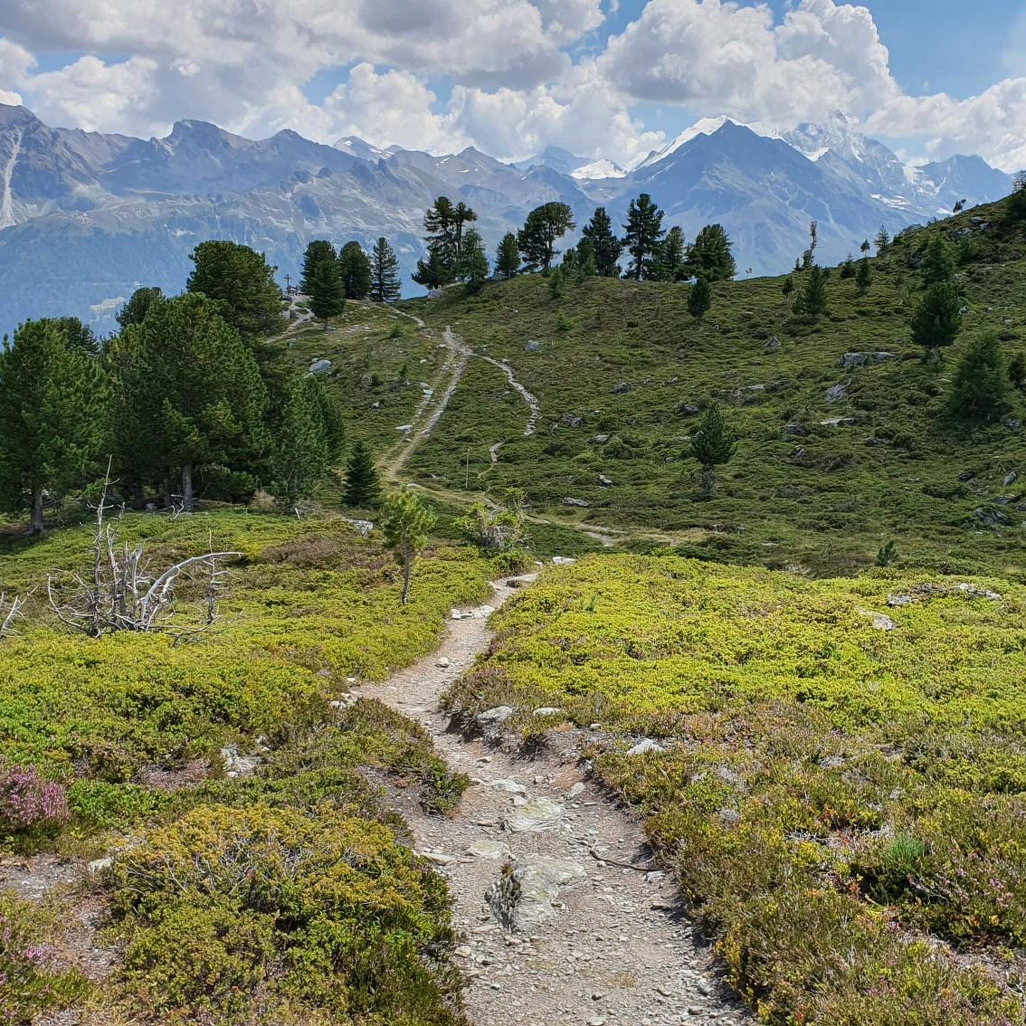
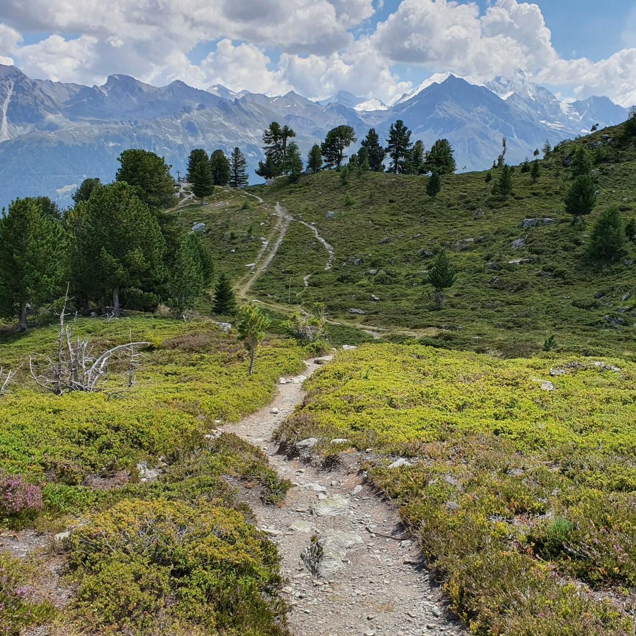
This hike will reward you with an incredible 360 panorama of the Alps. In clear weather conditions, you can see 25 peaks of 4,000+ meters from the summit of Bella Tola. Clockwise from the north: Jungfrau, Mönch, Finsteraarhorn, Piz Bernina, Lagginhorn, Weissmis, Nadelhorn, Lenzspitze, Grand Gendarme, Dom, Täschhorn, Alphubel, Stahlhorn, Rimpfischhorn, Bishorn, Weisshorn, Zinalrothorn, Ober Gabelhorn, Matterhorn, Dent d'Hérens, Dent Blanche, Grand Combin, Grandes Jorasses, Mont Blanc de Courmayeur and Mont Blanc. Not to disregard all the numerous 3,000+ meter peaks... (source: https://www.komoot.com/nl-nl/tour/2538335588 )
0
0

Restaurant Bella Tola, great terrace with a beautiful view of the mountains.
0
0

The glacier plain at 2,927 metres will take your breathe away. Take a moment to enjoy the views from the high plateau: the Rhône Valley, the Valais, and the Alpine chain all the way to Mont Blanc.
1
0


A small village in Vercorin with typical Valais wooden and chalet-style houses. In Vercorin you will find cafes and restaurants, and even a sporting goods store.
0
0
The valley is not accessible by road from its upper part and offers optimal conditions for peaceful walking and wildlife observation. The landscape has typical ice age features: glacial humps, moraines and so-called "Karmulden", i.e. cirque hollows formed by past glaciers.
1
0
Frequently Asked Questions
How many mountaineering routes can I find around Chalais?
There are over 10 mountaineering routes available around Chalais, offering a variety of experiences in the Valais region. These routes are highly rated by the komoot community, with an average score of 4.9 stars.
What is the typical difficulty of mountaineering routes in Chalais?
Mountaineering routes around Chalais are generally quite challenging, with 10 out of 11 routes classified as 'difficult'. These trails often involve significant elevation gains and traverse high alpine terrain, suitable for experienced mountaineers.
When is the best time of year for mountaineering in Chalais?
The Valais region, including Chalais, is best for mountaineering during the warmer months, typically from late spring to early autumn. This period offers more stable weather conditions and accessible high alpine environments. Winter brings opportunities for other snow sports, but specific mountaineering routes may be inaccessible or require specialized winter equipment and expertise.
Are there any family-friendly mountaineering routes in Chalais?
The mountaineering routes listed for Chalais are predominantly difficult, making them less suitable for young children or families seeking very easy walks. However, the broader Valais region offers a network of well-marked hiking trails, some of which are less strenuous and could be more appropriate for families.
Can I bring my dog on mountaineering trails in Chalais?
While many trails in Switzerland are dog-friendly, it's always advisable to check local regulations for specific routes, especially in protected areas or on challenging mountaineering paths. Ensure your dog is fit for the terrain and that you carry enough water for both of you.
What kind of natural features can I expect to see on mountaineering routes near Chalais?
Mountaineering around Chalais offers a diverse landscape, transitioning from lush forests and alpine meadows to dramatic natural rock formations and high summits. You'll encounter breathtaking panoramic viewpoints of the Val d'Anniviers and the Rhône valley, and potentially views of prominent peaks like the Bishorn and Weisshorn in the wider Valais region.
Are there any circular mountaineering routes in Chalais?
Yes, many of the mountaineering routes around Chalais are circular. For example, the Tignousa – Bella Tola Summit loop from Tignousa and the Plaine Morte Peak – Col de Torrent Ladder Section loop from Bellalui are both excellent circular options, allowing you to experience varied scenery without retracing your steps.
What are some notable landmarks or attractions along the mountaineering routes?
Along your mountaineering adventures, you might encounter significant points of interest. The Bella-Tola Hut is a notable mountain hut offering accommodation and views. You could also explore the impressive Bisse du Ro Suspension Bridge, part of an ancient irrigation channel, or the scenic Réchy Valley.
How long do mountaineering routes around Chalais typically take to complete?
The duration of mountaineering routes varies depending on their length and difficulty. For instance, the Tignousa – Bella Tola Summit loop from Tignousa is about 6.5 miles (10.5 km) and takes approximately 5 hours 10 minutes, while the longer Mountaineering loop from Vercorin, at 17.3 km, can take over 6 hours.
Are there any options for a shorter, yet scenic, mountaineering experience?
If you're looking for a shorter but still challenging experience with great views, consider the View of La Maya loop from Nax. This route is about 0.9 miles (1.5 km) and offers scenic viewpoints across the varied landscape, typically completed in under 2 hours.
What are the parking options for mountaineering trailheads in Chalais?
While specific parking details for each trailhead are best checked locally or on individual route pages, Chalais and nearby villages like Vercorin often provide designated parking areas for hikers and mountaineers. It's advisable to arrive early during peak season to secure a spot.
Can I reach mountaineering trailheads in Chalais using public transport?
The Valais region has a good public transport network. Chalais itself is accessible by public transport, and some trailheads, particularly those starting from villages like Vercorin or Tignousa (often reached by cable car), can be accessed using buses or mountain transport services. Always check schedules in advance.
Are there any routes that pass by mountain huts or offer opportunities for refreshments?
Yes, some routes provide access to mountain huts, which can offer refreshments or even overnight stays. For example, the Tignousa – Bella Tola Summit loop from Tignousa starts near Tignousa, which has facilities, and the route itself offers views towards the Bella-Tola Hut. These huts are excellent for a break and to enjoy the alpine atmosphere.
Most popular routes around Chalais
Most popular attractions around Chalais

Get inspired with the komoot mobile app


Explore more
Browse the best Mountain Hikes & Routes in other regions.
