The best mountain hikes around Ausserberg
4.8
(21)
210
hikers
9
hikes
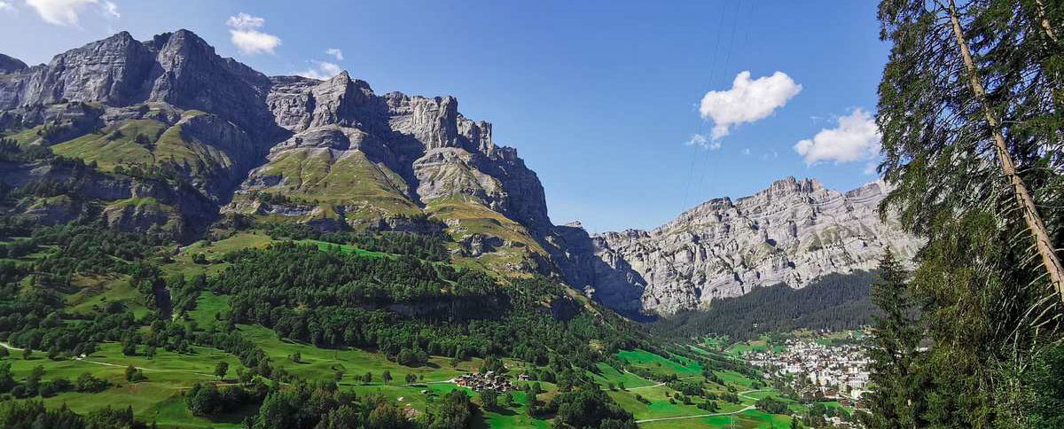
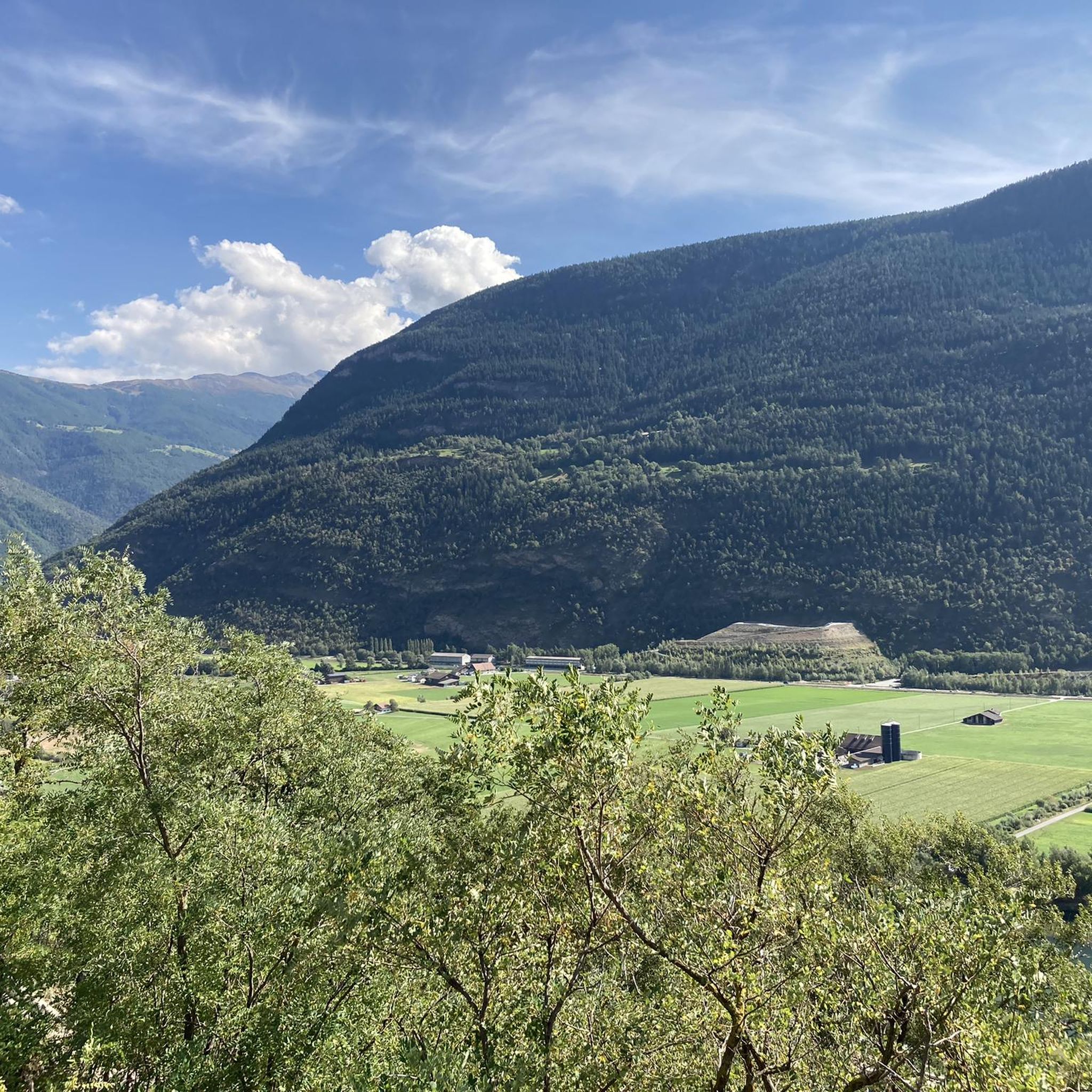
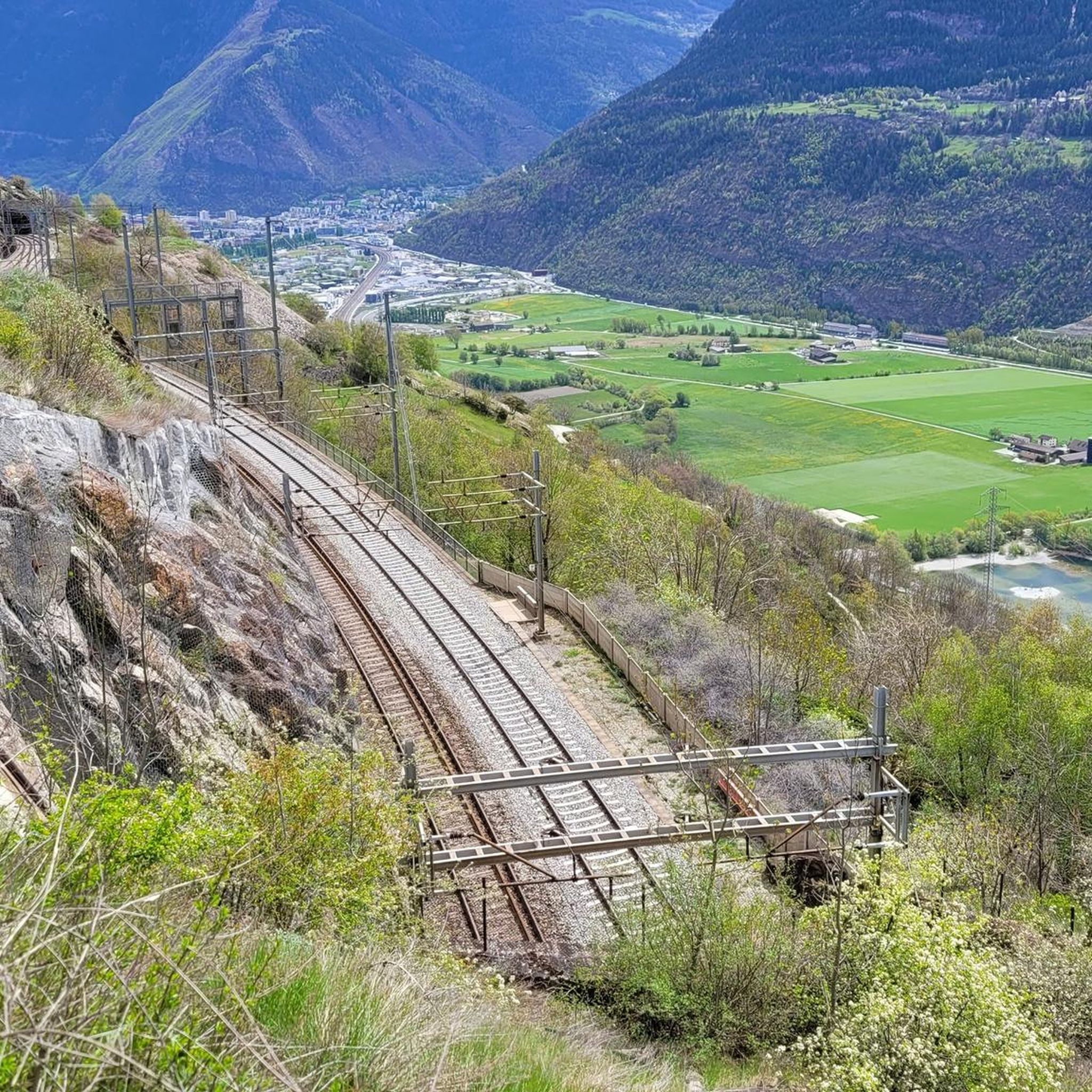
Mountaineering routes around Ausserberg are situated on the southern flank of the Rhône Valley, within the UNESCO World Heritage Jungfrau-Aletsch region. This area is characterized by its diverse valleys, including the Jolital, Bietschtal, Baltschiedertal, and Gredetschtal, which extend from the Bietschhorn Massif. Prominent mountains like Wiwannihorn and Augstkummen offer challenging ascents, complemented by features such as the Baltschieder Glacier.
Best mountaineering routes around Ausserberg
- The most popular mountaineering route is Wiwanni Hut – Wiwannihorn (3,001 m) loop from Ausserberg,…
Last updated: October 1, 2026
40
hikers
9.80km
07:29
1,070m
1,070m
Hard mountaineering route. Very good fitness required. Sure-footedness, sturdy shoes and alpine experience required.
4.8
(4)
8
hikers
6.30km
01:51
180m
180m
Easy mountaineering route. Great for any fitness level. Easily-accessible paths. Suitable for all skill levels.

5.0
(1)
10
hikers
16.8km
07:20
940m
930m
Hard mountaineering route. Very good fitness required. Sure-footedness, sturdy shoes and alpine experience required.
6
hikers
8.54km
03:16
390m
390m
Moderate mountaineering route. Good fitness required. Mostly accessible paths. Sure-footedness required.
3
hikers
13.8km
04:42
680m
680m
Moderate mountaineering route. Good fitness required. Mostly accessible paths. Sure-footedness required.
Get access to more routes and recommendations from other explorers.
Already have an account?
Our route recommendations are based on thousands of hikes, rides, and runs completed by other people on komoot.


Tips from the Community

A detour to the Gibidumsee is definitely worthwhile. The idyllic mountain lake is fed by the Suone Heido canal and offers a magnificent view into the Nanztal valley. Thanks to its shallow water depth of around two meters, the water warms up quickly in summer and invites you for a refreshing swimming break. Before descending on the Giw Enduro, the Gibidumsee can be easily integrated into the tour with an additional climb.
1
0

The Panoramalodge on the Giw can be rented from 3 days. Space for up to 20 people. Information is available at the Heidadorf-Visperterminen Tourist Office.
0
0
The Gebidumsee invites you to swim. Barbecue area and wood available. Overnight accommodation in a tipi tent. Not reservable. Only a wooden cot available. Dreamlike sunset
0
0

The small hut is a great photo motif. And a nice place for a short rest with a view.
0
0

The "Stand" is one of the region's landmarks. It is the highest point on the Moosalp high plateau and offers you an unbelievable panoramic view over the entire Upper Valais and twelve four-thousand-meter peaks. The "Swing the World" swing on the Moosalp promises fun and freedom high above the peaks. Amidst the impressive mountain landscape, you gently swing towards the sky and immerse yourself in an unforgettable experience. Leave everyday life behind, feel the wind in your hair, and enjoy the breathtaking view.
2
0
The inn has up to 80 seats in the dining room and additionally a large sun terrace as well as a lounge area. It is only open during the summer season. Further information and opening hours can be found here: https://www.dorbia.ch/unser-restaurant
2
0

A swing was installed under a rock ledge.
0
0

Frequently Asked Questions
Are there any easier mountaineering routes around Ausserberg for beginners?
Yes, while many routes are challenging, there is at least one easy mountaineering route available. For instance, the Stand Viewpoint – Lake Breitmatten loop from Moosalp is an easy option, offering a more gentle introduction to the alpine environment with beautiful views.
What are some challenging mountaineering routes for experienced climbers in the Ausserberg area?
For experienced mountaineers seeking a challenge, the Ausserberg region offers several difficult routes. The Wiwanni Hut – Wiwannihorn (3,001 m) loop from Ausserberg is a significant alpine climbing destination. Another demanding option is the Brunegghorn Viewpoint – Augstbordhorn Summit loop from Moosalp, which provides panoramic views and culminates at the Augstbordhorn summit.
What kind of terrain can I expect on mountaineering routes around Ausserberg?
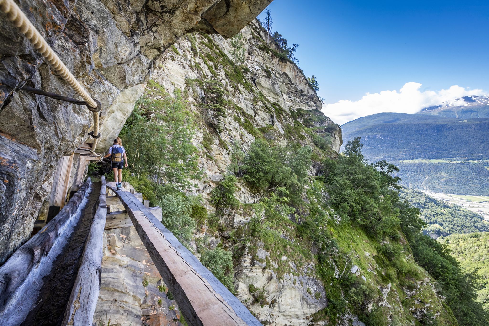
The terrain around Ausserberg is characterized by high alpine landscapes within the UNESCO World Heritage Jungfrau-Aletsch region. You'll encounter diverse valleys, from the Bietschhorn Massif down to the Rhône Valley, and features like the Baltschieder Glacier. Routes can range from well-maintained paths to rugged, exposed sections requiring sure-footedness, especially on trails near historic Suonen irrigation canals like the Niwärch bisse.
Are there any circular mountaineering routes available from Ausserberg?
Yes, many of the mountaineering routes in the Ausserberg area are designed as loops. For example, the popular Wiwanni Hut – Wiwannihorn (3,001 m) loop from Ausserberg and the Mountain restaurant Dorbia Moosalp – Moosalp Restaurant loop from Moosalp are excellent circular options that allow you to start and finish in the same location.
What notable landmarks or viewpoints can I expect to see along the mountaineering routes?
Mountaineering routes in Ausserberg offer spectacular views and pass by several notable landmarks. You can expect panoramic vistas of the Rhône Valley and the surrounding Alps. Specific highlights include the impressive Bietschtal Bridge and the Jolischlucht Suspension Bridge. Many trails also provide views towards Visp and the Baltschieder Glacier. The Aletschbord Belalp is another significant viewpoint in the broader region.
What is the best time of year for mountaineering in Ausserberg?
The best time for mountaineering in Ausserberg is typically during the warmer months, from late spring to early autumn, when trails are clear of snow and weather conditions are more stable. This period allows access to the high alpine terrain and offers the best visibility for panoramic views. Some areas also offer snowshoeing in winter, but dedicated mountaineering is best outside of heavy snow seasons.
Are there any family-friendly mountaineering options or trails suitable for children?
While many mountaineering routes are challenging, the region does offer options for various ability levels. For families, consider easier trails or sections of the historic Suonen irrigation canals, which are generally less strenuous. The Stand Viewpoint – Lake Breitmatten loop from Moosalp is an easy route that could be suitable for families looking for a less demanding experience.
What are the parking options for accessing mountaineering trails around Ausserberg?
Ausserberg itself serves as an ideal starting point for numerous loops and trails, suggesting parking availability within or near the village. For routes starting from other points like Moosalp or Visperterminen, designated parking areas are generally available to accommodate hikers and mountaineers. It's advisable to check specific route descriptions for detailed parking information.
Can I access mountaineering routes around Ausserberg using public transport?
Yes, public transport access is generally good in the region. Ausserberg is nestled on the southern flank of the Rhône Valley, and the Lötschberg South Ramp route, a classic high-level trail, is accessible via public transport between Hohtenn and Brig. Many trailheads, especially those starting from villages like Ausserberg, Moosalp, or Visperterminen, are often reachable by local bus services, making it convenient to start your mountaineering adventure.
Are there any huts or restaurants along the mountaineering routes for refreshments or overnight stays?
Yes, the region provides options for refreshments and accommodation. The Mountain restaurant Dorbia Moosalp and Mountain Restaurant Giw are examples of places where you can find food and drink. The Wiwanni Hut (Wiwannihütte) is a significant starting point for alpine climbing and offers overnight stays, serving as a base for multi-day excursions.
What do other mountaineers enjoy most about the routes in Ausserberg?
The mountaineering routes in Ausserberg are highly rated by the komoot community, with an average score of 4.8 stars from over 20 reviews. Mountaineers often praise the high alpine terrain, the stunning views within the UNESCO World Heritage Jungfrau-Aletsch region, and the unique experience of traversing historic Suonen irrigation canals. The diverse network offers options for various ability levels, from easy paths to challenging summit ascents.
Most popular routes around Ausserberg
Most popular attractions around Ausserberg

Get inspired with the komoot mobile app


Explore more
Browse the best Mountain Hikes & Routes in other regions.
