The best walks and hikes around Großtänchen
4.5
(195)
1,047
hikers
98
hikes
Hiking around Großtänchen offers a network of trails through a landscape characterized by gentle hills and open countryside. The region features several ponds, such as Mutche Pond, and elevated viewpoints that provide expansive vistas. With generally low elevation gains, the terrain is accessible for various hiking abilities.
Best hiking trails around Großtänchen
- The most popular hiking route is Mutche Pond loop from Harprich, a 4.1 miles (6.5 km) trail that takes 1 hour 40 minutes to complete. This easy route circles the scenic Mutche Pond.
- Another top favourite among local hikers is Mutche Pond loop from Morhange, a moderate 6.5 miles (10.5 km) path. This longer loop also explores the area around Mutche Pond, offering varied perspectives.
- Local hikers also love the Hiking loop from Harprich, a 5.4 miles (8.7 km) trail leading through open fields and gentle slopes, often completed in about 2 hours 15 minutes.
- Hiking around Großtänchen is defined by tranquil pond-side paths, open countryside, and accessible viewpoints. The network offers options for easy, moderate, and challenging ability levels.
- The routes in Großtänchen are highly rated by the komoot community with an average score of 4.5 stars from more than 150 reviews. More than 900 hikers have used komoot to explore Großtänchen's varied terrain.
Last updated: July 5, 2026
4.2
(22)
161
hikers
6.53km
01:40
20m
20m
Easy hike. Great for any fitness level. Easily-accessible paths. Suitable for all skill levels.
4.6
(9)
65
hikers
10.5km
02:41
40m
40m
Moderate hike. Good fitness required. Easily-accessible paths. Suitable for all skill levels.

Sign up for free
4.7
(6)
51
hikers
8.73km
02:14
40m
40m
Moderate hike. Good fitness required. Easily-accessible paths. Suitable for all skill levels.
4.8
(5)
18
hikers
10.9km
02:53
100m
100m
Moderate hike. Good fitness required. Easily-accessible paths. Suitable for all skill levels.
4.8
(5)
17
hikers
13.0km
03:26
120m
120m
Moderate hike. Good fitness required. Easily-accessible paths. Suitable for all skill levels.
Get access to more routes and recommendations from other explorers.
Sign up for free
Already have an account?
Our route recommendations are based on thousands of hikes, rides, and runs completed by other people on komoot.
Start today with a free account
Your next adventure awaits.
Login or Signup
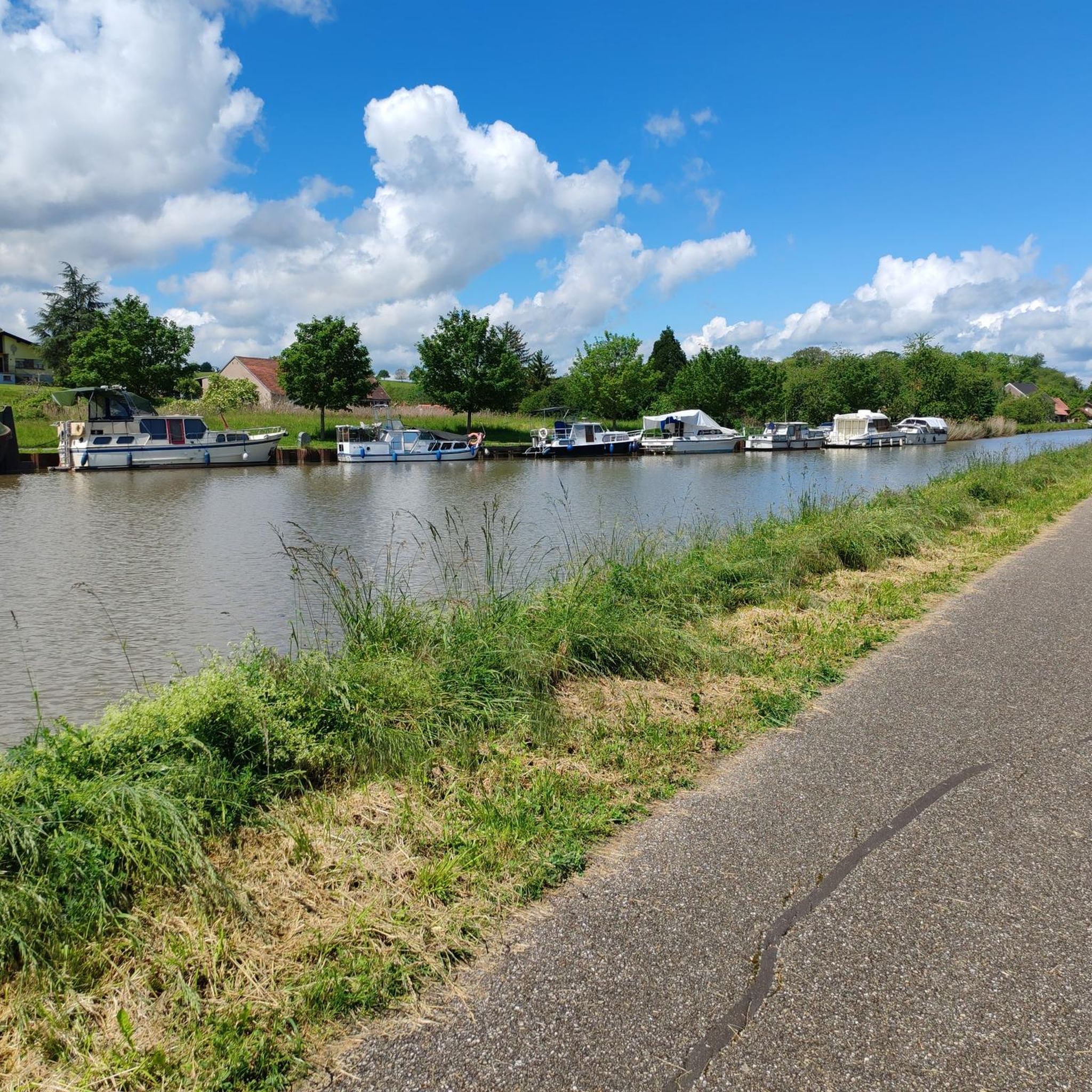
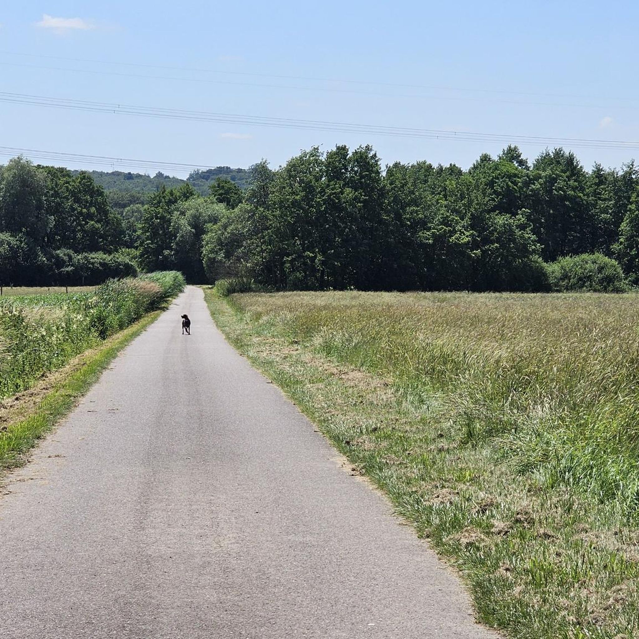



Tips from the Community

Beautiful little metal figures along the roadside.
1
0

Frequently Asked Questions
How many hiking trails are available around Großtänchen?
There are nearly 90 hiking routes recorded around Großtänchen on komoot. These trails traverse the region's gentle hills and open countryside, offering a variety of experiences for different skill levels.
Are there easy or beginner-friendly hikes in Großtänchen?
Yes, Großtänchen offers 23 easy routes suitable for beginners or those seeking a relaxed walk. An excellent option is the Mutche Pond loop from Harprich, an easy 4.1-mile (6.5 km) trail that circles the scenic Mutche Pond.
What kind of terrain can I expect on hikes in Großtänchen?
The terrain around Großtänchen is characterized by gentle hills and open countryside, with generally low elevation gains. You'll find tranquil pond-side paths, such as those around Mutche Pond, and expansive views from elevated viewpoints.
Are there any circular hiking routes in the area?
Many routes in Großtänchen are circular, allowing you to start and end at the same point. For example, the Mutche Pond loop from Morhange is a moderate 6.5-mile (10.5 km) circular path that offers varied perspectives of the pond and surrounding landscape.
Are there any viewpoints or scenic spots along the trails?
Yes, the region features elevated viewpoints that provide expansive vistas over the open countryside. Consider the Orientation Table Viewpoint loop from Montdidier, a moderate 6.8-mile (10.9 km) route designed to take you to a notable viewpoint.
What do other hikers say about the trails in Großtänchen?
The routes in Großtänchen are highly rated by the komoot community, with an average score of 4.5 stars from over 150 reviews. Hikers often praise the tranquil pond-side paths and the accessible nature of the trails.
Are there any challenging hikes for experienced hikers?
While the region is known for its gentle terrain, there are 7 routes classified as difficult for those seeking more of a challenge. These routes typically feature longer distances or slightly more varied elevation changes compared to the easy and moderate options.
What attractions or landmarks can I see near the hiking trails?
Around Großtänchen, you can explore several historical and cultural landmarks. Notable attractions include the Saint-Nabor Abbey Church of Saint-Avold, the historic 17th Century Calvary, and the Chapel of the Holy Cross Saint Avold.
Are there any longer distance hiking options available?
For those looking for longer walks, several moderate routes extend beyond 6 miles (10 km). The Metal art – Orientation Table Viewpoint loop from Léning is a good example, covering 8 miles (12.9 km) through the landscape.
Is Großtänchen suitable for family hikes?
Yes, with its generally low elevation gains and numerous easy and moderate routes, Großtänchen is well-suited for family hikes. The scenic pond-side paths, like those around Mutche Pond, offer pleasant and manageable distances for all ages.
What is the best time of year to go hiking in Großtänchen?
The gentle hills and open countryside of Großtänchen are enjoyable throughout much of the year. Spring and autumn offer pleasant temperatures and vibrant scenery, while summer provides longer daylight hours. Winter hikes are also possible, though conditions may vary.
Most popular routes around Großtänchen
Most popular attractions around Großtänchen

Get inspired with the komoot mobile app


Explore more
Browse the best Hikes in other regions.
