The best walks and hikes around Marcols-Les-Eaux
4.4
(395)
2,049
hikers
78
hikes
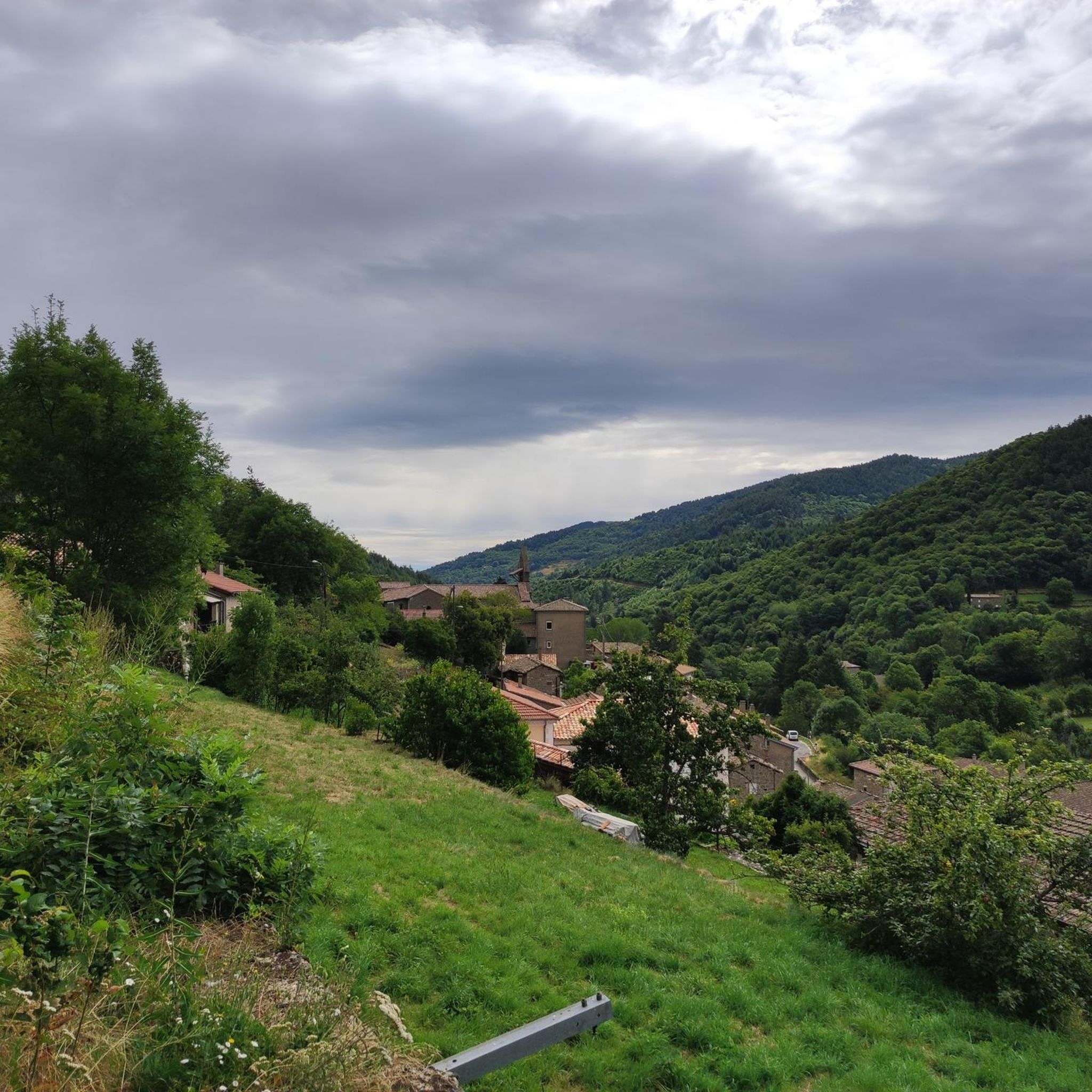
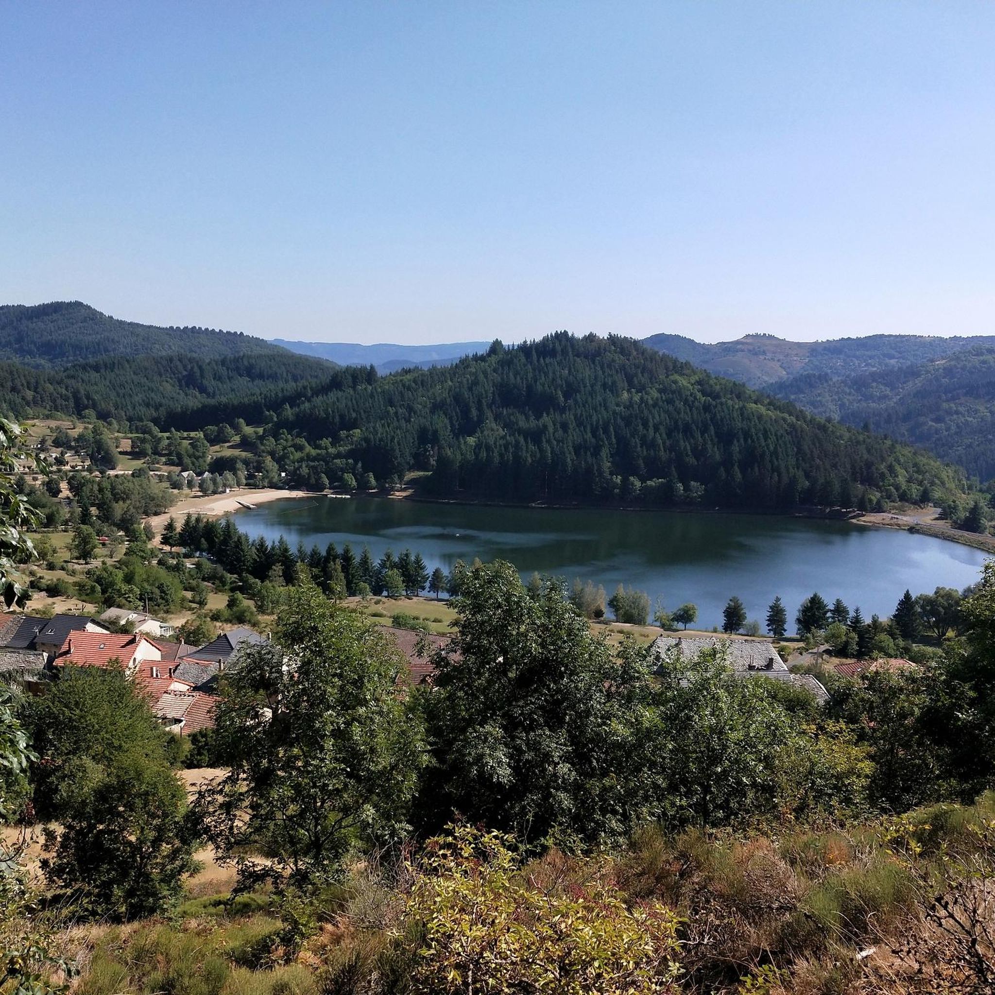
Hiking around Marcols-Les-Eaux offers diverse terrain within the Ardèche department, characterized by mountainous landscapes and numerous valleys. The region features altitudes ranging from 700 to 1340 meters, shaped by the uplifting of the Cévennes and Boutières massifs. Hikers will find ancient beech forests, chestnut groves, and the Glueyre river, all contributing to varied natural features. The area is situated within the Parc naturel régional des Monts d'Ardèche.
Best hiking trails around Marcols-Les-Eaux
- The most popular hiking route is Col des…
Last updated: July 9, 2026
5.0
(4)
25
hikers
11.9km
03:45
470m
470m
Moderate hike. Good fitness required. Easily-accessible paths. Suitable for all skill levels.
4.8
(6)
16
hikers
8.03km
02:28
280m
280m
Moderate hike. Good fitness required. Easily-accessible paths. Suitable for all skill levels.

Sign up for free
13
hikers
12.1km
03:29
290m
290m
Moderate hike. Good fitness required. Easily-accessible paths. Suitable for all skill levels.
4.5
(4)
12
hikers
11.1km
03:38
500m
490m
Moderate hike. Good fitness required. Easily-accessible paths. Suitable for all skill levels.
5.0
(2)
13
hikers
15.8km
04:43
480m
480m
Moderate hike. Good fitness required. Easily-accessible paths. Suitable for all skill levels.
Get access to more routes and recommendations from other explorers.
Sign up for free
Already have an account?
Our route recommendations are based on thousands of hikes, rides, and runs completed by other people on komoot.
Start today with a free account
Your next adventure awaits.
Login or Signup
Tips from the Community

beautiful view of various birds of prey.
0
0

Anyone who wants to stop for a bite to eat should stop here. There are few alternatives. A Grand Café Creme and a generous sandwich for 8 euros.
1
1

The Col de Mézilhac from Le Cheylard is a frequent ascent in the Ardéchoise, a cyclosportive in June. The climb is 22 km long with a total elevation gain of 700 m. The average gradient is 3.18% with maximum gradients of 7.5%.
2
0

Small source abandoned since 1970 to visit with its old facilities!
0
0
Frequently Asked Questions
How many hiking trails are available around Marcols-Les-Eaux?
There are over 70 hiking trails around Marcols-Les-Eaux, offering a wide range of options for exploring the region's diverse landscapes. These routes cater to various skill levels, from moderate to challenging.
What kind of terrain can I expect on hikes in Marcols-Les-Eaux?
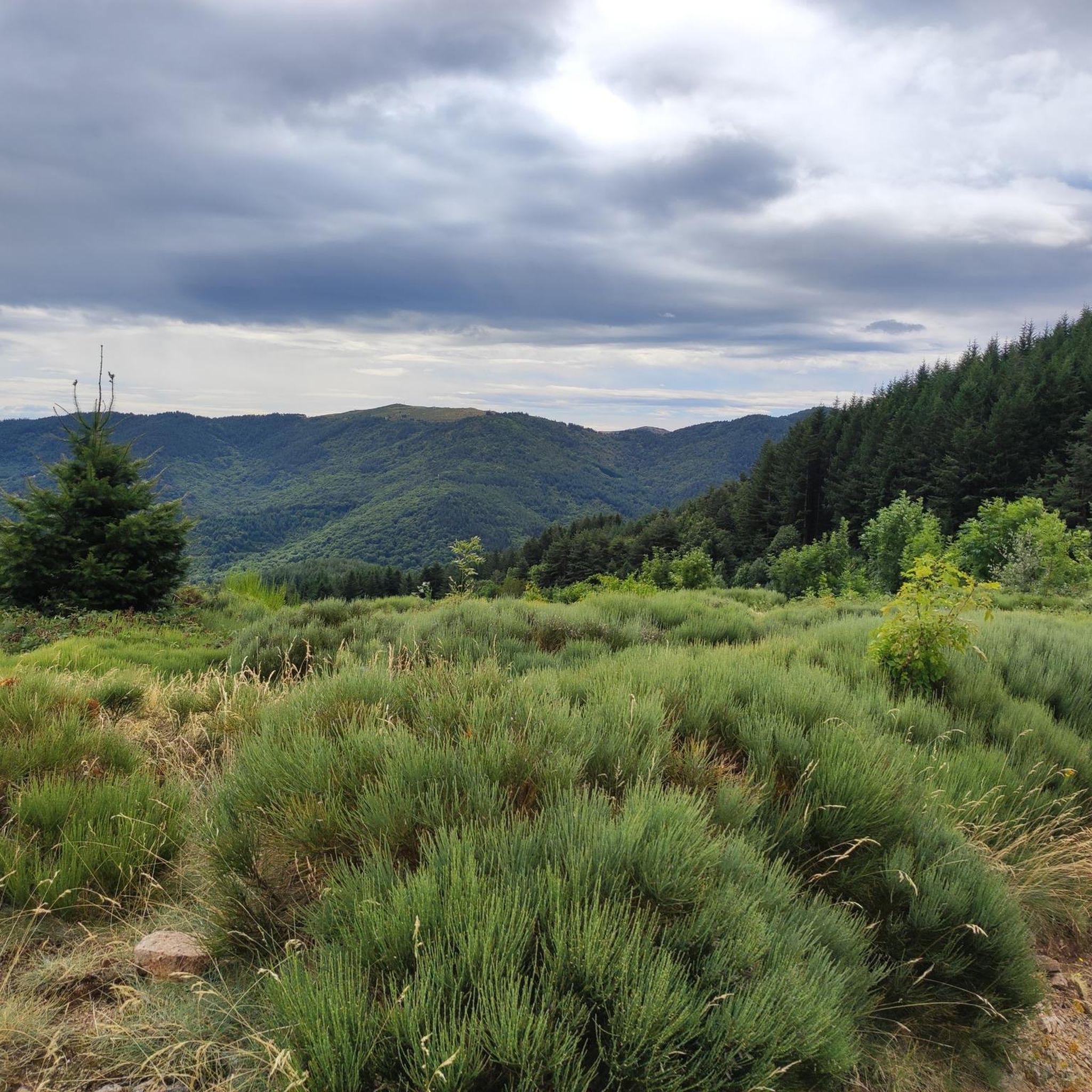
Hikes in Marcols-Les-Eaux feature distinctly mountainous terrain, with altitudes ranging from 700 to 1340 meters. You'll encounter numerous valleys, including the central Glueyre valley, ancient beech forests, and extensive chestnut groves. Many routes involve significant elevation gains, providing varied and undulating landscapes.
Are there any easy hiking trails suitable for beginners in Marcols-Les-Eaux?
Yes, Marcols-Les-Eaux offers a good selection of easier trails. Approximately 25 routes are classified as easy, providing less strenuous options to enjoy the natural beauty of the area. For example, the Janvier Spring loop from Ardèche is a moderate 8 km trail that takes about 2 hours 28 minutes, leading through natural springs and local scenery.
Where can I find the best panoramic views in Marcols-Les-Eaux?
For breathtaking panoramic views, consider hiking to the Rocher de Don. This ancient volcano offers 360-degree vistas stretching across the Rhône Valley to the Alps, including prominent peaks like Mont Mézenc and Mont Gerbier de Jonc, and even Mont Blanc on clear days. Another excellent viewpoint is the orientation table at Champ de Mars, situated at an altitude of 1330 meters.
Are there any circular hiking routes in Marcols-Les-Eaux?
Yes, many of the trails around Marcols-Les-Eaux are designed as loops, allowing you to start and end at the same point. Popular options include the Col des Quatre Vios loop from Mauras and the Col de Mézilhac (1,119 m) loop from Mézilhac, both offering rewarding experiences through varied landscapes.
What natural features or landmarks can I expect to see on hikes?
Beyond the stunning mountainous landscapes, you can discover several natural and historical features. The Glueyre river and its affluents are central to the region, and you'll find ancient beech forests and chestnut groves. Notable landmarks include the Ray-Pic Waterfall, the Col de Mézilhac (1,119 m), and the View of the Volane Valley. You might also encounter medieval ruins at Rocher de Don and the historic Source Janvier.
What do other hikers say about the trails in Marcols-Les-Eaux?
The hiking trails in Marcols-Les-Eaux are highly regarded by the komoot community, holding an average rating of 4.3 stars from over 350 reviews. Nearly 2,000 hikers have used komoot to explore the varied terrain, often praising the immersive natural experiences and the diverse scenery, from shaded forest paths to open panoramic viewpoints.
Are there any challenging hikes for experienced hikers?
Absolutely. Marcols-Les-Eaux is known for its challenging routes, with 11 trails classified as difficult. These often involve significant elevation gains and cover longer distances, providing a rigorous workout amidst spectacular scenery. The mountainous context with altitudes up to 1340 meters ensures plenty of opportunities for demanding ascents.
Can I find any cultural or historical sites along the hiking routes?
Yes, the region's landscape is interwoven with its cultural heritage. Hikers can encounter ancient houses, a bridge over the Glueyre, and the Moulinage de la Neuve, a silk mill that is still operational. The area is also known as the 'Pays des châtaigniers' (Land of Chestnuts), reflecting the historical importance of chestnut groves and terraced fields.
Are there any specific attractions or points of interest near the hiking trails?
Beyond the trails themselves, you can explore several attractions. The Ray-Pic Waterfall is a notable natural monument. Other points of interest include the Castles of Craux and the Ascent to the Chapel of Soutron. The Source Janvier area also features an ecomuseum dedicated to its mineral waters.
What is the typical elevation gain on hikes in Marcols-Les-Eaux?
The elevation gains vary significantly depending on the trail's difficulty and length. For moderate routes, you can expect ascents of around 280 to 490 meters. For instance, the Col des Quatre Vios loop from Mauras has an elevation gain of about 475 meters, while the Janvier Spring loop from Ardèche involves approximately 280 meters of ascent.
Most popular attractions around Marcols-Les-Eaux

Get inspired with the komoot mobile app


Explore more
Browse the best Hikes in other regions.
