The best running trails around Champtercier
4.3
(50)
2,546
runners
137
runs
Jogging routes Champtercier offer a variety of terrain, from lakeside paths to forest trails and routes with moderate elevation gains. The region features a mix of natural landscapes, including water bodies like Plan d'eau des Férreols and forested areas such as Forêt des Iscles. Running paths often follow river valleys or loop around local lakes, providing varied surfaces for runners. Some routes also include ascents to cols, indicating hilly sections within the area.
Best jogging routes around Champtercier
- The most…
Last updated: July 8, 2026
72
runners
9.15km
00:58
30m
30m
Moderate run. Good fitness required. Mostly paved surfaces. Suitable for all skill levels.
35
runners
11.3km
01:15
60m
60m
Moderate run. Good fitness required. Mostly paved surfaces. Suitable for all skill levels.

Sign up for free
1.0
(1)
16
runners
24.9km
03:40
960m
960m
Hard run. Very good fitness required. Sure-footedness, sturdy shoes and alpine experience required.
13
runners
6.35km
00:40
40m
40m
Moderate run. Good fitness required. Mostly paved surfaces. Suitable for all skill levels.
6
runners
11.2km
01:22
350m
350m
Hard run. Very good fitness required. Mostly paved surfaces. Suitable for all skill levels.
Get access to more routes and recommendations from other explorers.
Sign up for free
Already have an account?
Our route recommendations are based on thousands of hikes, rides, and runs completed by other people on komoot.
Start today with a free account
Your next adventure awaits.
Login or Signup

Tips from the Community


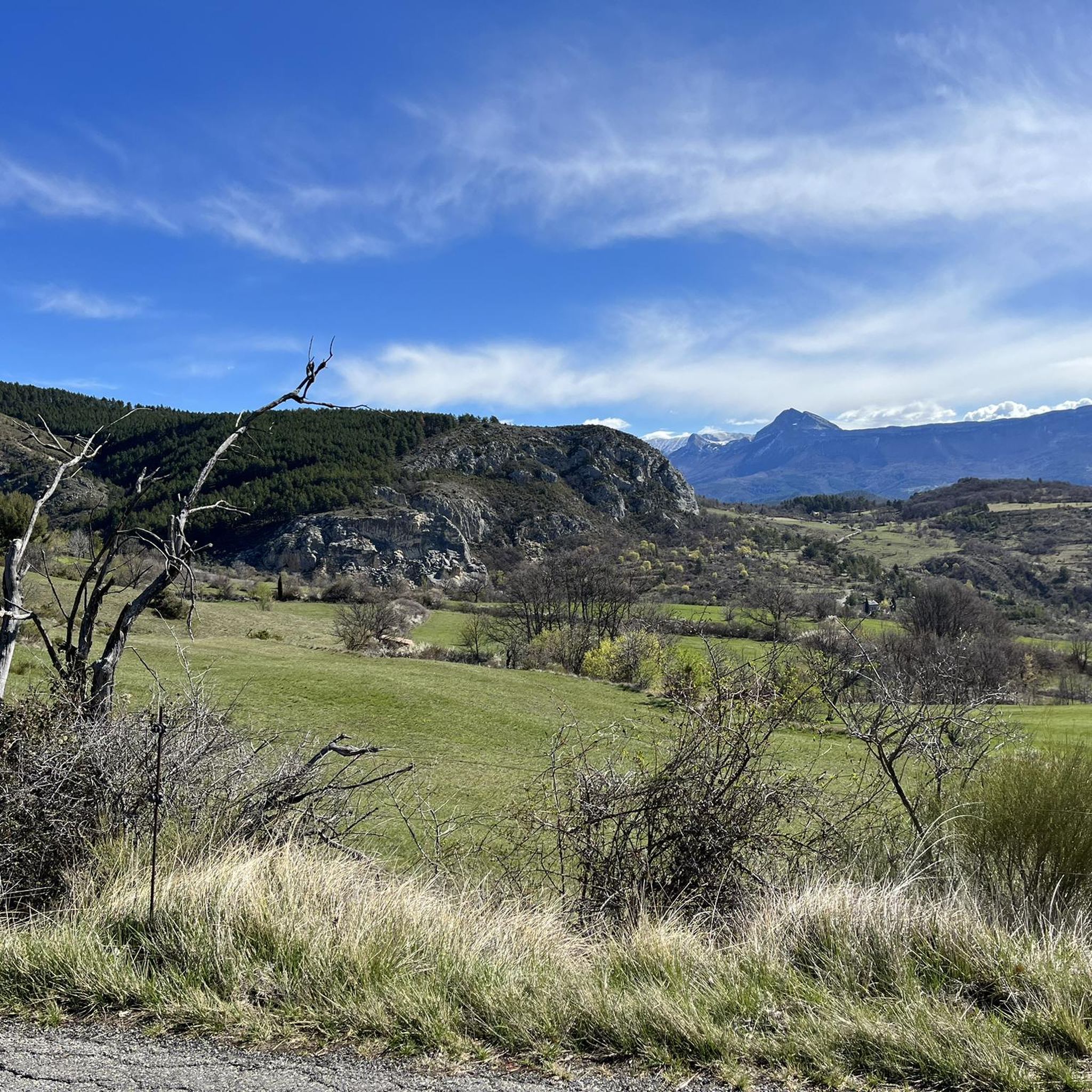
If you ask a dignois what is the symbolic mountain of the city, he will answer you for sure the Cousson. This is THE local mountain (with a bit of the Rocher de Neuf heures)
1
0

The city center is quite lively, and the atmosphere is particularly attractive on market days
7
0

On this Tibet walk, along the Bléone, you are a stone's throw from the city center.
2
0

Quasi the local mountain of Digne. I think it's gorgeous, it's easy to climb if you're sure-footed and somewhat fit, and the gorgeous 360-degree views are terrific.
1
0

beautiful quiet lake with ducks and fishermen. We recommend the lake tour.
1
0
Frequently Asked Questions
How many running routes are available around Champtercier?
There are over 140 running routes in the Champtercier area, offering a wide variety of terrain and distances for all levels of runners.
Are there easy running routes suitable for beginners in Champtercier?
Yes, Champtercier offers several easier running options. While many routes are moderate, there are at least 8 routes specifically graded as easy, perfect for beginners or those looking for a relaxed run. These often feature gentler terrain around lakes or through less hilly areas.
What kind of terrain can I expect on jogging trails in Champtercier?
Jogging routes in Champtercier feature a diverse landscape. You'll find pleasant lakeside paths, shaded forest trails, and routes that follow river valleys. Some trails also include moderate ascents to cols, offering more challenging hilly sections and rewarding views.
Are there any long-distance running trails in the Champtercier region?
Yes, for those seeking longer runs, Champtercier has several options. For example, the Col du Trisson loop from Préalpes de Digne is a challenging 9.1-mile (14.6 km) trail with significant elevation, ideal for a longer workout.
Can I find running routes accessible by public transport in Champtercier?
Yes, some running routes are conveniently located near public transport hubs. The Running loop from Digne Station is a great example, starting directly from a train station, making it easily accessible without a car.
What are some scenic points of interest or natural monuments I can see along the running routes?
The Champtercier area is rich in natural beauty. Along your runs, you might encounter geological formations like the Pénitents des Mées Trail or the unique Les Robines (Black Marl Hills). There are also viewpoints such as View of Entrages offering panoramic vistas.
Are there circular running routes around Champtercier?
Many of the running routes in Champtercier are designed as circular loops, allowing you to start and finish at the same point. Popular examples include the Plan d'eau des Férreols loop from Les Sieyes and the Running loop from Lac de Gaubert.
What do other runners say about the trails in Champtercier?
The running routes in Champtercier are highly regarded by the komoot community, boasting an average rating of 4.4 stars from over 40 reviews. Runners often praise the varied terrain, from serene lakeside paths to engaging forest sections, and the well-maintained nature of the trails.
Are there any running routes that combine lakeside and forest scenery?
Absolutely! The Plan d'eau des Férreols – Forêt des Iscles loop from Gaubert - Le Chaffaut is an excellent choice. This route beautifully combines sections along the Plan d'eau des Férreols with stretches through the tranquil Forêt des Iscles, offering a diverse and refreshing running experience.
What is the best time of year for running in Champtercier?
Champtercier offers good running conditions throughout much of the year. Spring and autumn provide pleasant temperatures and vibrant scenery. Summer mornings and evenings are also ideal, especially on shaded forest trails. Winter running is possible, though some higher or less maintained paths might require more caution.
Are there challenging running trails for advanced runners in Champtercier?
Yes, advanced runners will find plenty of challenges. With 58 routes graded as difficult, you can tackle trails with significant elevation gains and technical sections. The region's cols and hilly terrain provide excellent opportunities for intense workouts.
Most popular routes around Champtercier
Most popular attractions around Champtercier

Get inspired with the komoot mobile app


Explore more
Browse the best Running Trails & Routes in other regions.
