The best running trails around Wila
4.3
(163)
5,078
runners
350
runs
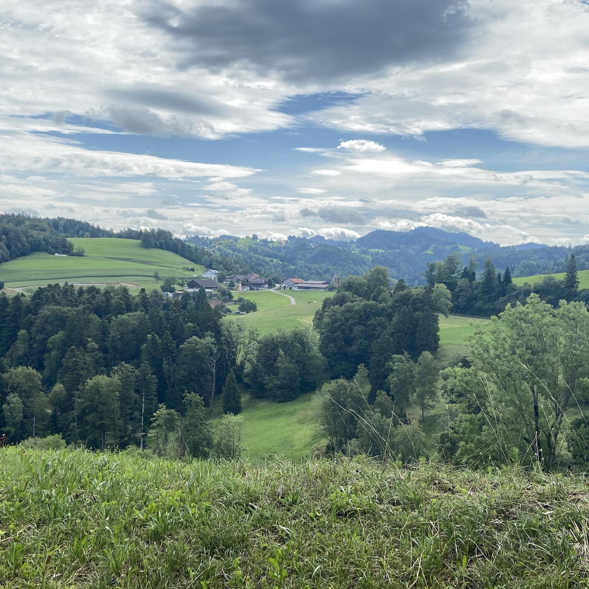
Jogging around Wila offers a diverse network of running routes through varied natural landscapes. The region is characterized by trails winding along the Töss River, providing mostly flat paths suitable for longer distances. Inland, runners can explore forested areas and moderate hills, such as those found near Hintereggen, offering more challenging terrain. The area's natural features include river valleys and wooded gorges, creating a scenic backdrop for running.
Best jogging routes around Wila
- The most popular jogging route is Töss…
Last updated: October 1, 2026
57
runners
17.1km
01:47
100m
100m
Hard run. Very good fitness required. Mostly paved surfaces. Suitable for all skill levels.
3.0
(1)
50
runners
10.3km
01:10
230m
230m
Moderate run. Good fitness required. Mostly paved surfaces. Suitable for all skill levels.

3.0
(1)
47
runners
8.81km
00:59
200m
200m
Moderate run. Good fitness required. Mostly paved surfaces. Suitable for all skill levels.
35
runners
17.9km
01:51
100m
100m
Hard run. Very good fitness required. Mostly paved surfaces. Suitable for all skill levels.
4.5
(2)
21
runners
6.08km
00:39
100m
100m
Moderate run. Good fitness required. Mostly paved surfaces. Suitable for all skill levels.
Get access to more routes and recommendations from other explorers.
Already have an account?
Our route recommendations are based on thousands of hikes, rides, and runs completed by other people on komoot.
Start today with a free account
Your next adventure awaits.
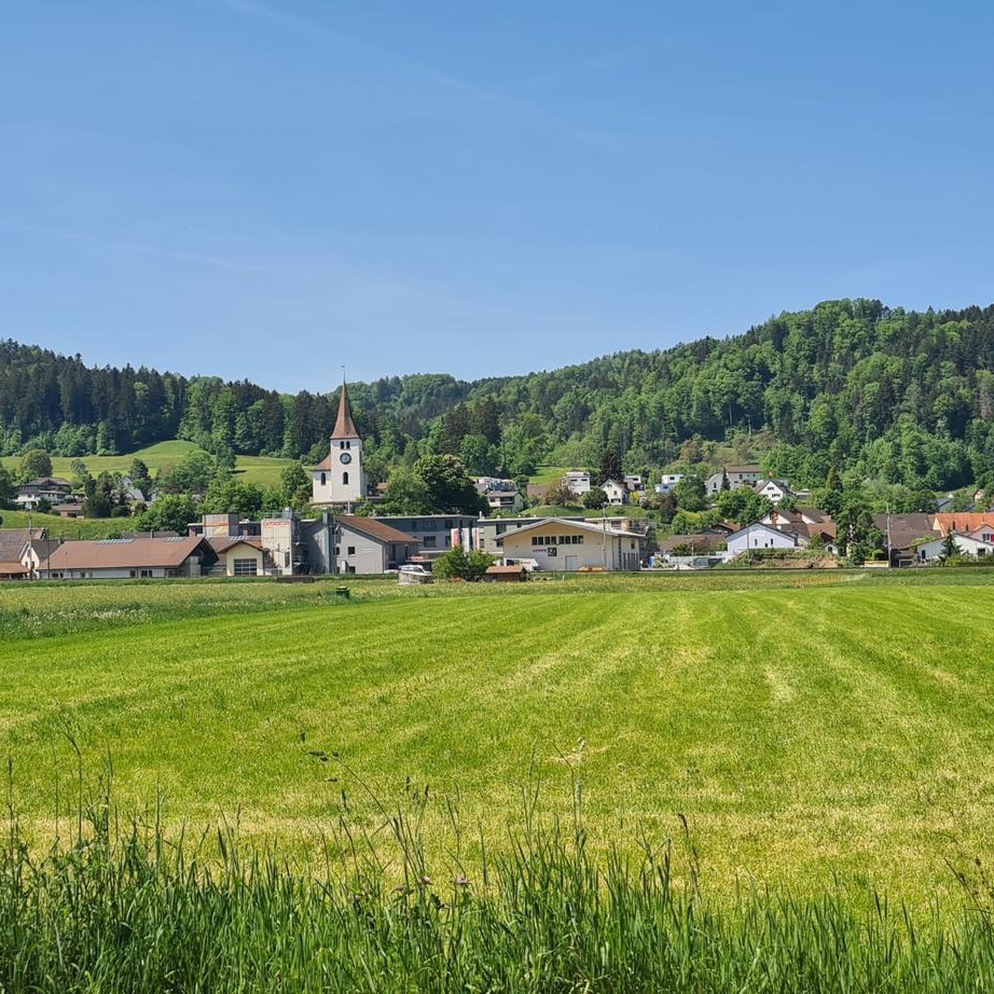
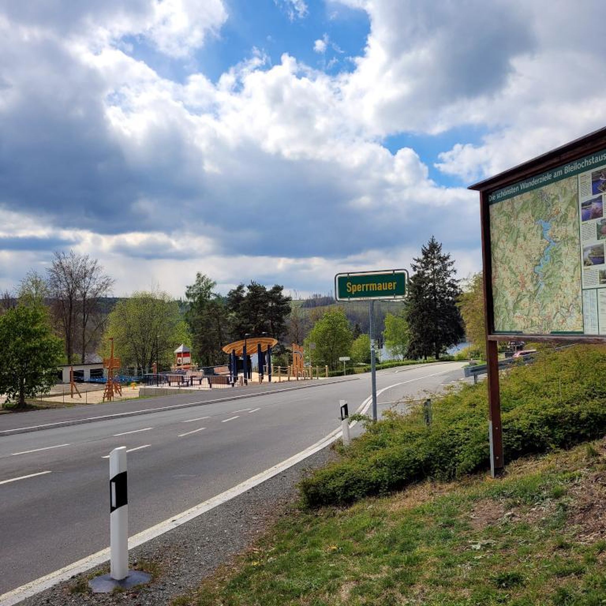
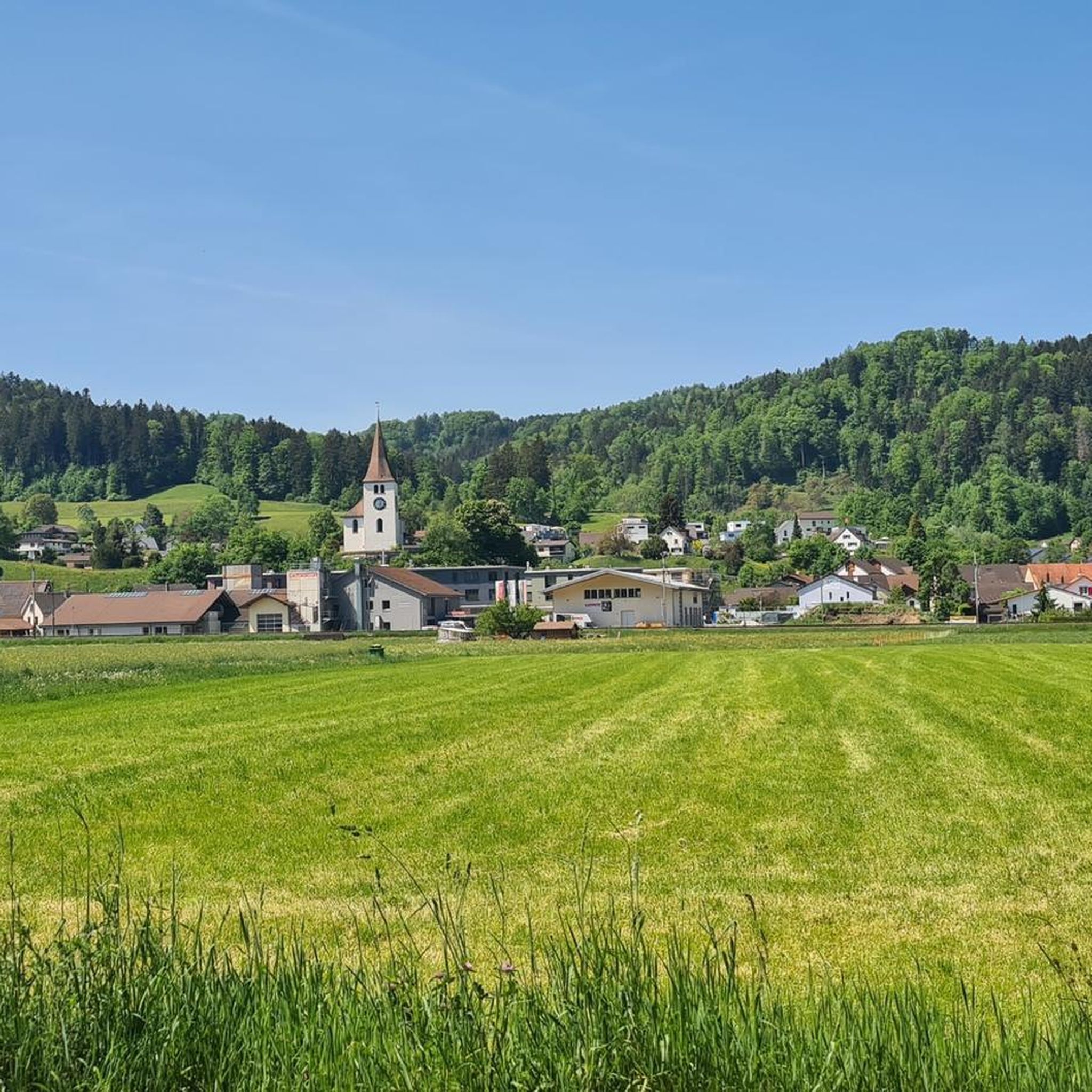
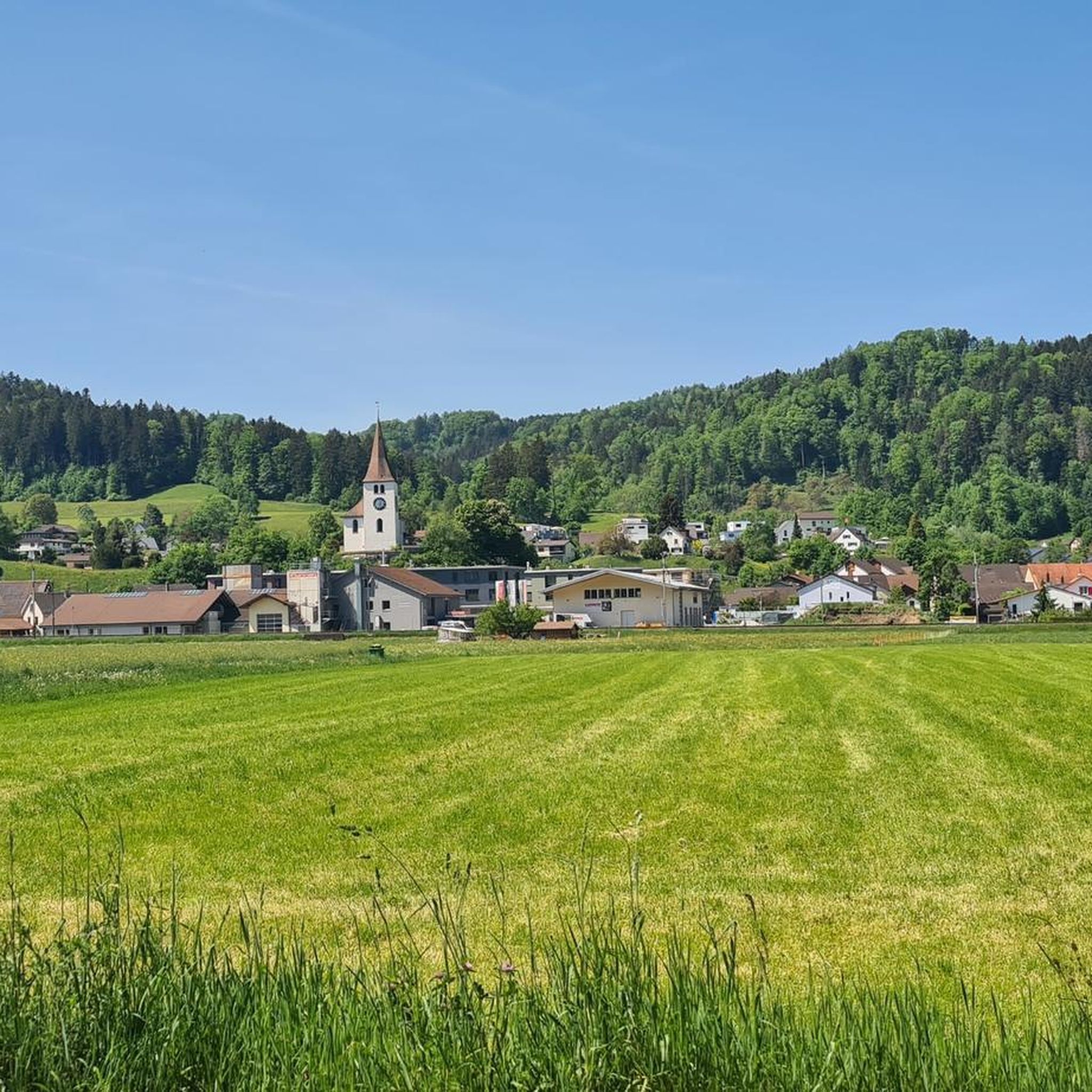
Tips from the Community

Long cycle path, often separated from the main road, up the entire Tösstal from Sennhof to Gibswil. Quite busy.
1
0

Ideal for families. Well-developed, beautiful area. Unless the Töss River isn't carrying water, in which case it's simply a fun place for children to play.
1
0

A very beautiful and easy trail along the stream. You have to be careful, as some high rocks unexpectedly protrude from the ground.
1
0

Very nice cycle path, absolutely recommended
0
0

Do not try in winter
0
1
Beautiful path and always great to look at with the water features. But be careful, there are a lot of hikers, so respect for others is clearly paramount here
2
0

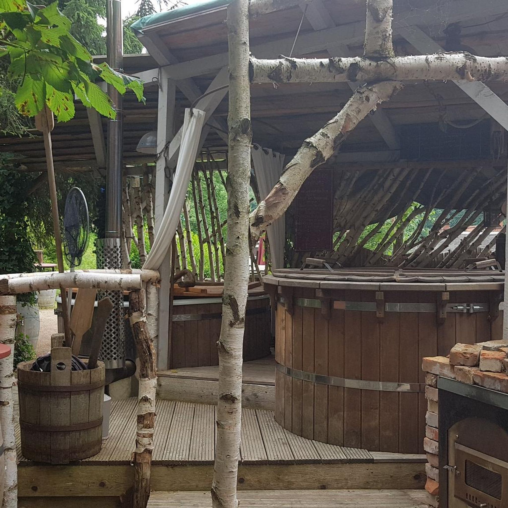
Very nicely designed barbecue area with lots of seating. There is also a toilet block, but this was closed. I later saw on the website that it is only open temporarily, from April to October.
0
0
Frequently Asked Questions
How many running routes are available around Wila?
Wila offers a comprehensive network of over 350 running routes, catering to various preferences and fitness levels. You'll find everything from easy, flat paths along the river to more challenging trails through forested hills.
What kind of terrain can I expect on the jogging trails in Wila?
The terrain around Wila is quite diverse. You'll find many routes winding along the Töss River, which are mostly flat and suitable for longer, steady runs. Inland, the trails often lead through forested areas and moderate hills, such as those near Hintereggen, providing a more challenging experience with significant elevation changes.
Are there any easy running routes suitable for beginners or a relaxed jog?
Yes, Wila has a good selection of easy running routes. Approximately 20 routes are classified as easy, often following the river paths which are mostly flat. These are perfect for beginners or those looking for a less strenuous run.
Can I find challenging running trails with significant elevation in Wila?
Absolutely. For runners seeking a challenge, Wila offers around 80 difficult routes. Trails like the Töss River – Töss River Bike Path loop from Turbenthal, despite its name, is rated difficult and offers a longer distance. For routes with more elevation, consider those leading through wooded hills, such as the Hintereggen – Hunter's Hut loop from Turbenthal, which features over 230 meters of ascent.
Are there any circular running routes in Wila?
Many of the running routes in Wila are designed as loops, offering convenient circular paths. For example, the Hintereggen – Hunter's Hut loop from Wila is a popular circular trail through wooded hills, taking about an hour to complete.
What natural features or landmarks can I see along the running paths?
Wila's running paths offer scenic views of river valleys and wooded gorges. You can also explore nearby natural attractions such as Lake Bichel, or the unique rock formations at Tüfels Chilén. For a stunning sight, the Bäntal Waterfall and Metal Staircase is also a notable highlight in the vicinity.
What do other runners say about the trails in Wila?
The running routes in Wila are highly regarded by the komoot community, boasting an average rating of 4.5 stars from over 100 reviews. Runners frequently praise the varied terrain, from the peaceful river paths to the challenging forested hills, and the overall scenic beauty of the region.
Are there running routes suitable for families with children?
While specific 'family-friendly' routes aren't explicitly categorized, the numerous easy and moderate paths along the Töss River, which are mostly flat, would be suitable for families looking for a relaxed run or walk together. These paths often provide a safe and enjoyable environment away from heavy traffic.
Are the running trails in Wila accessible by public transport?
Wila is a well-connected region, and many trailheads are often accessible via local public transport. It's advisable to check local bus or train schedules to find the most convenient starting points for your chosen route.
Is there parking available near the jogging routes?
Yes, for many of the popular running routes around Wila, you will find designated parking areas, especially near trailheads in towns like Turbenthal or Wila itself. It's always a good idea to check the specific route details on komoot for information on nearby parking facilities.
What is the best time of year to go running in Wila?
Wila offers enjoyable running conditions throughout much of the year. Spring and autumn provide pleasant temperatures and beautiful scenery with changing foliage. Summer is also great, especially for shaded forest trails. Winter running is possible, but conditions can vary, with some trails potentially being snowy or icy, particularly in higher elevations.
Are there any running routes that pass through gorges or unique natural formations?
Yes, Wila's landscape includes natural gorges, which some running routes traverse. For instance, the Forest Stream in Zurich – Hutziker Gorge Trail loop from Turbenthal offers a moderate run through a wooded area that includes a gorge, providing a unique and scenic experience.
Most popular attractions around Wila

Get inspired with the komoot mobile app


Explore more
Browse the best Running Trails & Routes in other regions.
