The best walks and hikes around La Proiselière-Et-Langle
4.4
(723)
3,558
hikers
181
hikes
Hiking around La Proiselière-Et-Langle offers a variety of trails through a landscape characterized by rolling hills and woodlands. The region features several ponds and chapels, providing points of interest along many routes. Elevation gains are generally moderate, making the area accessible for different hiking abilities. The terrain often includes a mix of forest paths and open country.
Best hiking trails around La Proiselière-Et-Langle
- The most popular hiking route is Two Chapels Loop, a 5.4 miles (8.8 km) trail that…
Last updated: October 21, 2026
3.9
(11)
33
hikers
9.18km
02:42
240m
240m
Moderate hike. Good fitness required. Easily walkable paths.
2.5
(2)
13
hikers
15.8km
04:12
170m
170m
Moderate hike. Good fitness required. Easily walkable paths.

4.0
(1)
10
hikers
15.8km
04:33
370m
370m
Moderate hike. Good fitness required. Easily walkable paths.
4.5
(2)
5
hikers
5.68km
01:41
170m
170m
Easy hike. Easily walkable paths.
4
hikers
10.3km
02:41
80m
80m
Moderate hike. Good fitness required. Easily walkable paths.
Get access to more routes and recommendations from other explorers.
Already have an account?
Our route recommendations are based on thousands of hikes, rides, and runs completed by other people on komoot.
Start today with a free account
Your next adventure awaits.


Tips from the Community

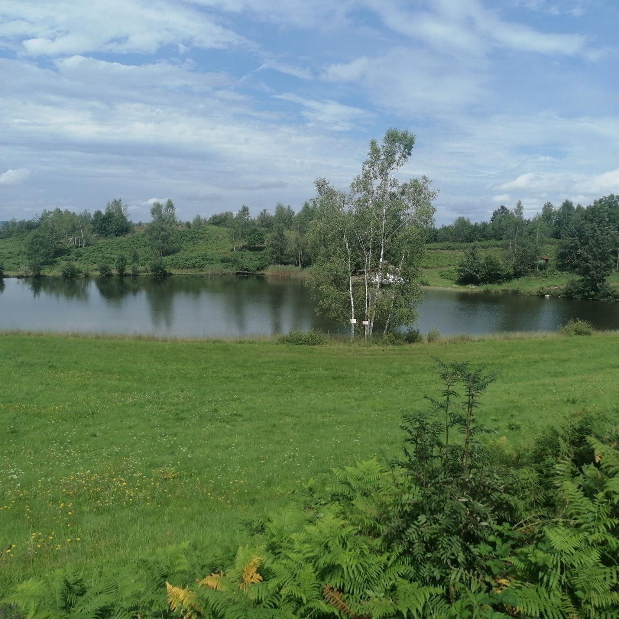
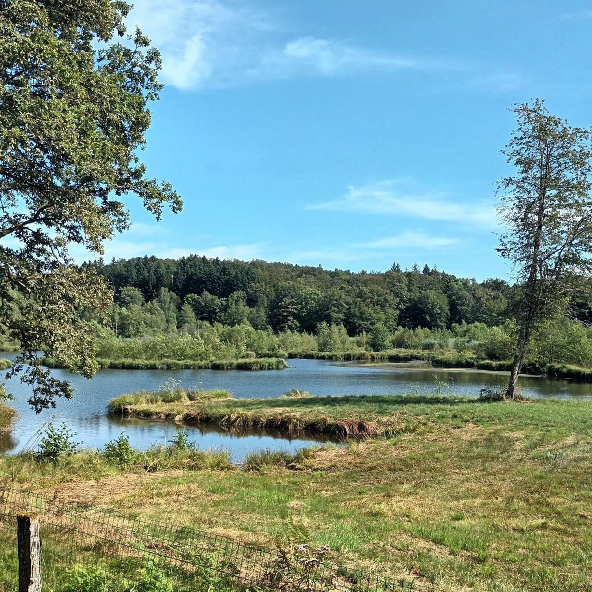
Very quiet place, very pleasant stone bench to admire the pond.
0
0

Here, you enjoy a superb view of the pond, nestled in the middle of lush nature. Take advantage of this idyllic setting to recharge your batteries.
1
0
Saint-Bresson is known for its peaceful rural setting and green landscapes. This village is an ideal starting point for exploring the region's hiking trails, offering breathtaking views of the Vosges.
2
0
The Sainte-Madeleine church is the main religious building of Sainte-Marie-en-Chanois. Nearby, there are two small, picturesque chapels which complete the collection of historic buildings.
0
0
Dedicated to plague patients, the Saint-Roch chapel is one of three religious buildings in Sainte-Marie-en-Chanois. It stands in the middle of a bucolic setting, next to the graves of victims of the plague of 1636.
0
0
Characterized by its traditional architecture and its surrounding landscapes, this chapel offers a space for contemplation. It is here that Saint-Colomban liked to retire to pray. Legend has it that a bear lived in the nearby cave. As he approached, the monk asked him to withdraw, and the beast never returned. The sick used to come and take water from the miraculous spring. A place full of mystery, in the middle of an idyllic setting!
1
1
Frequently Asked Questions
How many hiking trails are available in La Proiselière-Et-Langle?
There are over 160 hiking routes available around La Proiselière-Et-Langle, offering a wide range of options for different skill levels and preferences.
What kind of terrain can I expect on hikes around La Proiselière-Et-Langle?
The landscape is characterized by rolling hills and woodlands, with many routes featuring tranquil ponds and historic chapels. You'll encounter a mix of forest paths and open country, with generally moderate elevation gains.
What do other hikers say about the trails in La Proiselière-Et-Langle?
The area is highly rated by the komoot community, with an average score of 4.5 stars from over 500 reviews. Hikers often praise the peaceful atmosphere, varied scenery, and the charm of the local chapels and ponds.
Are there easy hiking trails suitable for beginners in La Proiselière-Et-Langle?
Yes, La Proiselière-Et-Langle offers a good selection of easy trails. There are 78 easy routes, such as the Saint-Colomban Chapel loop from Sainte-Marie-en-Chanois, which is about 3.5 miles (5.7 km) long and takes around 1 hour 40 minutes to complete.
Are the hiking trails around La Proiselière-Et-Langle suitable for families with children?
Many of the trails, especially the easier and shorter loops, are suitable for families. The moderate elevation changes and varied scenery with ponds and woodlands provide an engaging experience for children. Consider routes that pass by points of interest like chapels or offer picnic spots.
Are there any circular hiking routes in La Proiselière-Et-Langle?
Yes, many of the popular routes are circular, allowing you to start and end at the same point. Examples include the Etang de la Grande Chaissée loop from Belmont, which offers views of the lake, or the Chapelle Saint-Roch loop from Amage.
What are some interesting places or landmarks to see while hiking?
The region is dotted with charming chapels and serene ponds. You can explore highlights such as the Saint Columban Abbey or the Plateau des mille étangs, known for its numerous small lakes. The Moulin-Begeot Farm and Guesthouse also offers a glimpse into local life.
Can I bring my dog on the hiking trails in La Proiselière-Et-Langle?
Generally, dogs are welcome on trails in this rural area, especially if kept on a leash. The varied terrain and woodlands provide a great environment for walks with your canine companion. Always be mindful of local regulations, especially near farmlands or protected areas.
Is there public transport access to the hiking trailheads?
Public transport options in this rural region are limited. It is generally recommended to travel by car to reach the trailheads. Some villages may have bus stops, but services might be infrequent. Check local transport schedules in advance if you plan to rely on public transport.
Where can I park when hiking in La Proiselière-Et-Langle?
Parking is typically available in the villages where many trails begin, such as Amage or Belmont. Look for designated parking areas near churches, town halls, or public spaces. Always ensure you park responsibly and do not obstruct local residents or traffic.
What is the best time of year to go hiking in La Proiselière-Et-Langle?
Spring and autumn are ideal for hiking in La Proiselière-Et-Langle. Spring brings lush greenery and blooming wildflowers, while autumn offers beautiful fall foliage. Summer can also be pleasant, but it's advisable to start early to avoid the midday heat. Winters can be cold, but offer a unique, tranquil experience.
Are there options for winter hiking in La Proiselière-Et-Langle?
Yes, winter hiking is possible, offering a quiet and often snowy landscape. Trails are generally accessible, but conditions can vary. Be prepared for colder temperatures, potential ice, and shorter daylight hours. Some paths might be less maintained in winter, so appropriate footwear and gear are essential.
Are there any cafes or places to eat near the hiking trails?
While the immediate trailheads might not always have cafes, you'll find options in the nearby villages like La Proiselière-Et-Langle itself, or surrounding communities. These often offer local specialties and a chance to refuel after your hike. It's a good idea to pack snacks and water, especially for longer routes.
What are the typical lengths of hiking trails in the region?
Hiking trails in La Proiselière-Et-Langle vary in length. You can find shorter walks around 3-5 miles (5-8 km), taking a couple of hours, up to longer routes like the Saint-Bresson – View of the pond loop from Amage, which is about 9.8 miles (15.8 km) and can take over 4 hours.
Most popular routes around La Proiselière-Et-Langle
Most popular attractions around La Proiselière-Et-Langle

Get inspired with the komoot mobile app


Explore more
Browse the best Hikes in other regions.
