The best walks and hikes around La Prévière
4.3
(23)
128
hikers
14
hikes
Hiking around La Prévière offers a network of trails through a landscape characterized by gentle terrain, often featuring local ponds and historical sites. The region's low elevation gains make it accessible for various activity levels. These routes provide opportunities to explore the natural surroundings and local heritage.
Best hiking trails around La Prévière
- The most popular hiking route is 7 Bell Towers Trail, an easy 4.8 miles (7.8 km) trail that takes 2 hours to complete, passing through local…
Last updated: July 4, 2026
4.6
(7)
36
hikers
7.75km
02:00
40m
40m
Easy hike. Great for any fitness level. Easily-accessible paths. Suitable for all skill levels.
4.7
(7)
26
hikers
13.8km
03:36
90m
90m
Moderate hike. Good fitness required. Easily-accessible paths. Suitable for all skill levels.

Sign up for free
3.0
(1)
15
hikers
2.71km
00:42
10m
10m
Easy hike. Great for any fitness level. Easily-accessible paths. Suitable for all skill levels.
5.0
(3)
9
hikers
14.7km
03:49
100m
100m
Moderate hike. Good fitness required. Easily-accessible paths. Suitable for all skill levels.
3
hikers
13.7km
03:34
100m
100m
Moderate hike. Good fitness required. Easily-accessible paths. Suitable for all skill levels.
Get access to more routes and recommendations from other explorers.
Sign up for free
Already have an account?
Our route recommendations are based on thousands of hikes, rides, and runs completed by other people on komoot.
Start today with a free account
Your next adventure awaits.
Login or Signup


Tips from the Community

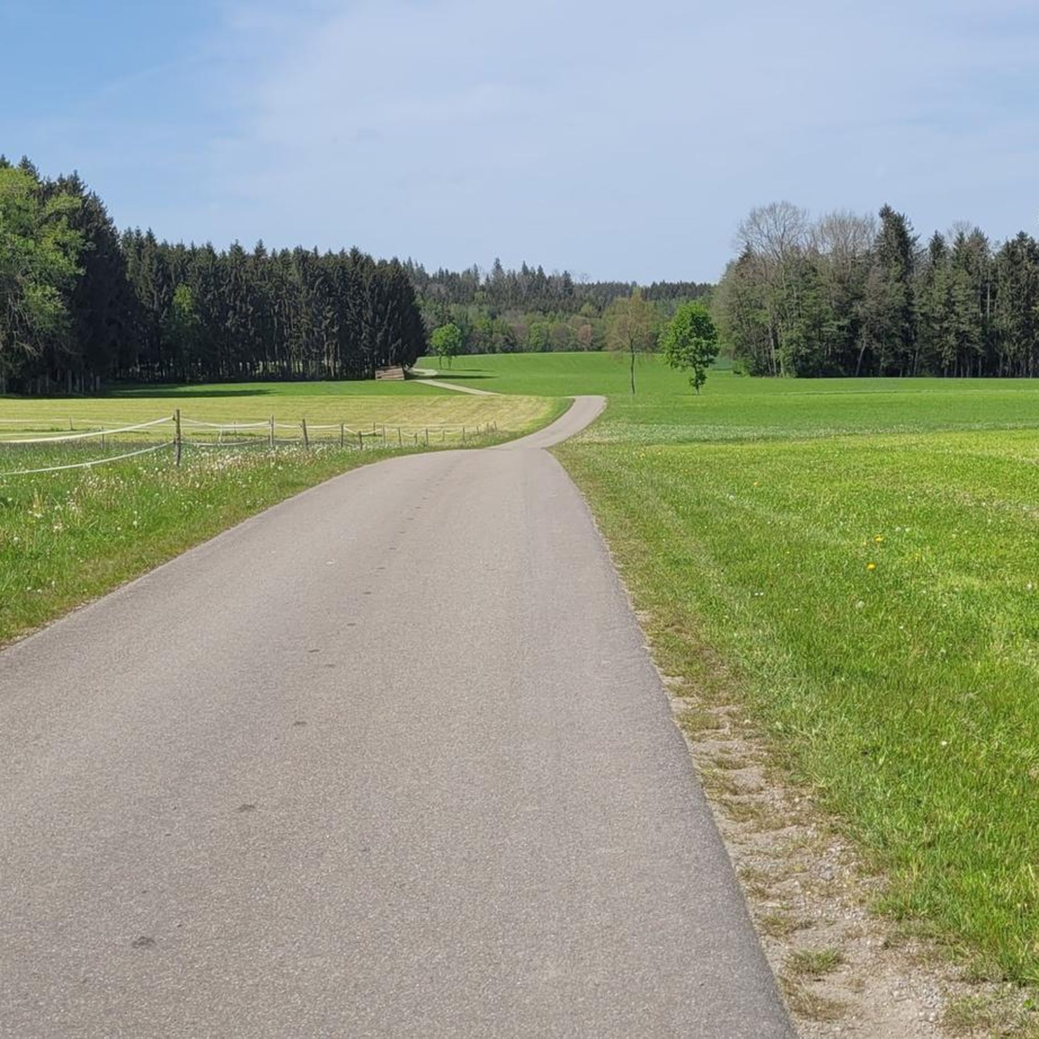
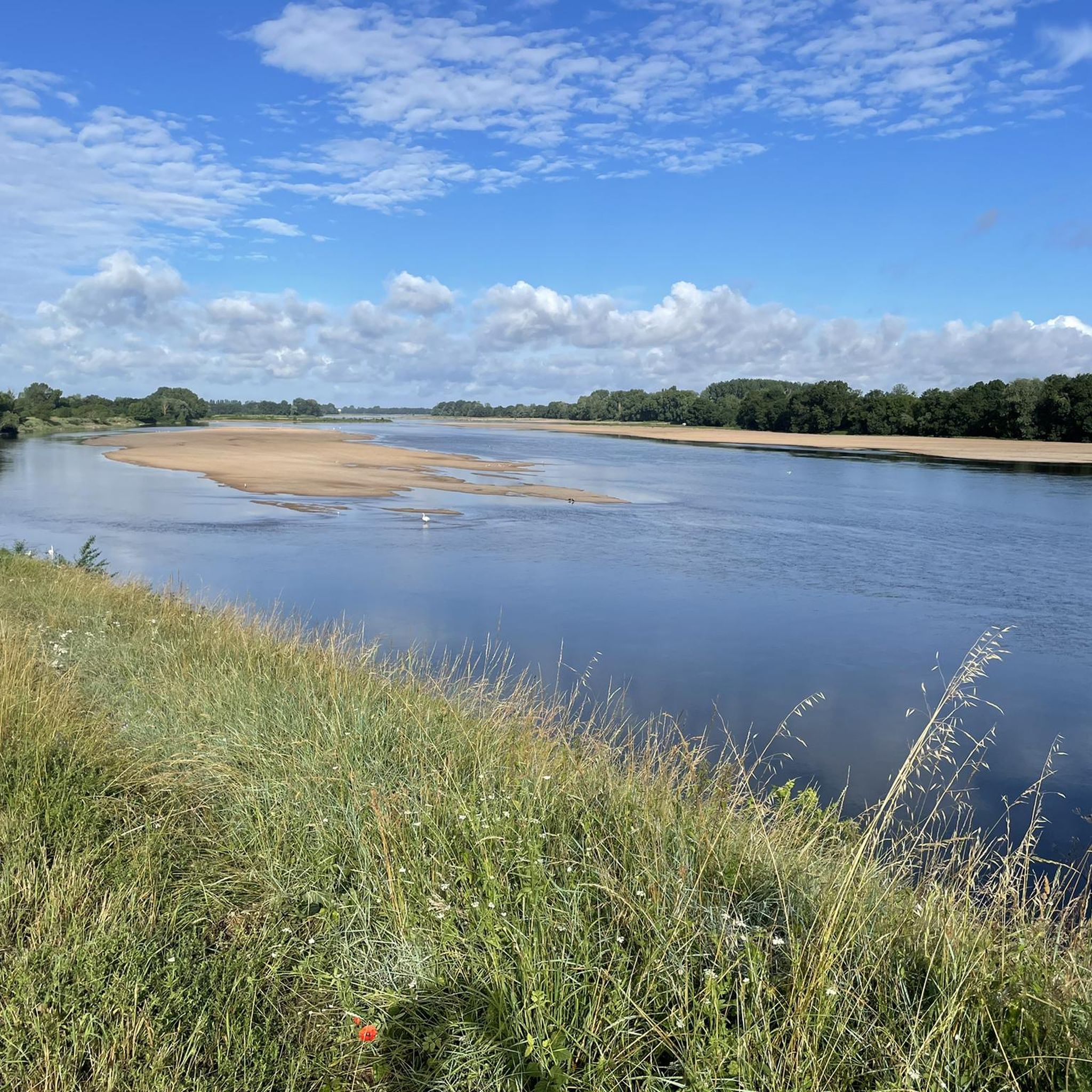
A much larger photo gallery with further images of this beautifully situated pond has been uploaded by various hikers at the highlight (corresponding to this sport). Their photos of the "Etang de St. Aubin" can be found via the following link =>> https://www.komoot.com/de-de/highlight/6116353/gallery
0
0


defended Anjou against the Marches of Brittany - besieged several times during the 100 Years' War
0
0

The Saint-Aubin pond offers a peaceful and natural landscape. This body of water, surrounded by lush greenery, is a haven for local species and migratory birds. Ideal for a stopover!
0
0
Pouancé Castle is a fortified castle, surrounded by a moat. It is characterized by imposing walls and round towers. Robust and majestic!
0
0

The Saint-Aubin pond is located within the grounds of a magnificent 19th century hunting lodge. It is surrounded by green nature which will only enhance your run.
2
0
Pouancé Castle is one of the most impressive fortresses in Anjou. You can explore the medieval castle which dates from the 12th century and was a strategic stronghold between the Kingdom of France and the Duchy of Brittany. You can also enjoy the view of Lake Saint-Aubin and the Verzée River, which surround the castle while you run.
2
0
The Saint-Aubin pond is located in a magnificent 19th century hunting lodge, surrounded by green nature.
2
0
Frequently Asked Questions
How many hiking trails are available around La Prévière?
There are over 15 hiking trails around La Prévière, offering a variety of options for different skill levels and preferences. The region's gentle terrain makes it accessible for many.
What kind of terrain can I expect on hikes in La Prévière?
Hikes in La Prévière feature gentle terrain with low elevation gains, making them generally accessible. You'll often find paths winding through local villages, alongside ponds, and past historical sites, characteristic of the region's landscape.
Are there easy hiking trails suitable for beginners or families in La Prévière?
Yes, La Prévière offers several easy trails perfect for beginners or families. For example, the 7 Bell Towers Trail is an easy 4.8-mile (7.8 km) route that takes about 2 hours to complete, passing through charming local villages.
Are there any longer or more challenging hikes in La Prévière?
While most trails are gentle, there are moderate options for those seeking a longer walk. The Pouancé Castle – Étang de Saint-Aubin loop from Pouancé is a moderate 8.6-mile (13.8 km) path that explores historical landmarks and natural water features, offering a more extended experience.
What attractions or points of interest can I see while hiking near La Prévière?
Many trails in the area allow you to explore local attractions. You can discover historical sites like Pouancé Castle or enjoy the natural beauty of Saint-Aubin Pond. Some routes also incorporate sections of the Voie Verte Châteaubriant à Pouancé.
Are there circular walks available in La Prévière?
Yes, many of the hiking routes around La Prévière are designed as circular walks, allowing you to start and end at the same point. An example is the Étang de Saint-Aubin – Etang de St Aubin loop from Pouancé, a 1.7-mile (2.7 km) trail through lakeside scenery.
Can I bring my dog on the hiking trails in La Prévière?
Generally, dogs are welcome on most public footpaths in the La Prévière area, especially if kept on a leash. It's always advisable to check local signage for any specific restrictions, particularly around nature reserves or agricultural land, and to ensure you clean up after your pet.
What do other hikers say about the trails in La Prévière?
The hiking trails in La Prévière are highly rated by the komoot community, with an average score of 4.4 stars from over 20 reviews. Hikers often praise the gentle paths, scenic pond views, and the well-connected routes that explore local points of interest.
Is there public transport access to the hiking areas around La Prévière?
Public transport options directly to trailheads in La Prévière can be limited. It's often best to plan your journey by car, or check local bus schedules for connections to nearby towns like Pouancé, from where some trails might be accessible on foot.
Where can I park when hiking in La Prévière?
Parking is generally available in the villages and near popular starting points for trails. For routes originating near Pouancé, you can often find parking in the town center or designated areas close to attractions like the castle or the Étang de Saint-Aubin.
What is the best time of year to go hiking in La Prévière?
The gentle nature of the trails in La Prévière makes them enjoyable for much of the year. Spring and autumn offer pleasant temperatures and beautiful scenery, while summer is also popular, especially around the ponds. Winter hikes are possible, but paths might be muddier.
Are there any hikes that feature water bodies like ponds or lakes?
Yes, the region is known for its scenic ponds. Many routes, such as the Etang de St Aubin – Étang de Saint-Aubin loop from Pouancé, offer beautiful views and walks alongside water features like the Étang de Saint-Aubin.
Most popular attractions around La Prévière

Get inspired with the komoot mobile app


Explore more
Browse the best Hikes in other regions.
