The best running trails in the Northwest Highlands
4.6
(86)
4,195
runners
304
runs
Jogging in the Northwest Highlands offers diverse terrain, from rugged mountain trails to serene lochside paths and coastal routes. The region is characterized by its dramatic mountain ranges, including the Torridon Hills and Stac Pollaidh, alongside numerous lochs and glens. Ancient forests and a spectacular coastline with sandy beaches also provide varied running experiences. This landscape offers a range of challenges for runners of all abilities.
Best jogging routes in the Northwest Highlands
- The most popular jogging route is Glen Affric loop from Loch Beinn a'Mheadhoin, a 10.8 miles (17.5 km) trail that takes 1 hour 59 minutes to complete. This route explores one of Scotland's most beautiful glens, offering woodland and lochside running.
- Another top favourite among local runners is Stac Pollaidh Trail, a difficult 2.6 miles (4.2 km) path. This trail ascends a distinctive mountain, providing panoramic views of the surrounding moorland.
- Local runners also love the Commando Memorial and High Bridge Trail, a 3.0 miles (4.8 km) trail leading through historical landmarks and riverside paths, often completed in about 30 minutes.
- Jogging in the Northwest Highlands is defined by majestic mountains, tranquil lochs, and ancient glens. The network offers options for various ability levels, from easy loops to challenging hill runs.
- The routes in Northwest Highlands are highly rated by the komoot community with an average score of 4.6 stars from over 70 reviews. More than 4000 runners have used komoot to explore Northwest Highlands's varied terrain.
Last updated: July 7, 2026
5.0
(1)
98
runners
17.5km
02:00
190m
190m
If you're looking for a challenging jogging experience in the Scottish Highlands, the Glen Affric loop from Loch Beinn a'Mheadhoin delivers. This difficult 10.8-mile (17.5 km) route takes you through ancient Caledonian pine and birch woodlands, offering serene views of Loch Beinn a'Mheadhoin and Loch Affric. You will gain 630 feet (192 metres) in elevation over an estimated 1 hour and 59 minutes, navigating varied terrain that includes mixed surfaces, boggy sections, and river crossings. The remote Highland landscape provides a tranquil atmosphere as you push your limits.
Before you set out, know that parking is available conveniently near the start point at Loch Beinn a'Mheadhoin. The trail's demanding nature means you should be ready for mixed surfaces, boggy patches, and potential river crossings that could wet your shoes. It is wise to prepare for midges, particularly if you plan to pause; staying in motion often helps keep them at bay. This route is best enjoyed when you are well-equipped for varied Highland conditions.
Glen Affric is widely celebrated as Scotland's most beautiful glen, and this route showcases its natural splendor. As you jog, keep an eye out for local wildlife such as red deer and golden eagles, which thrive in this protected environment. The trail offers a deep immersion into a truly wild and ancient landscape, making it a standout choice for those seeking a demanding run with exceptional natural beauty.
5.0
(2)
84
runners
4.24km
00:53
440m
440m
Prepare for a challenging jogging experience on the Stac Pollaidh Trail, a difficult route covering 2.6 miles (4.2 km) with a significant 1437 feet (438 metres) of elevation gain. You can expect to complete this ascent in about 52 minutes. The trail begins with stone steps, guiding you through woodland and heather before the path becomes steeper and rockier. As you climb, you will see expansive views of Loch Lurgainn and the Coigach mountains. From the East Summit, look out for the Summer Isles and, on clear days, even the distant Isle of Lewis & Harris.
While the main path to the eastern summit is often seen as a moderate hillwalk, its consistent steepness and rocky sections make it a strenuous jogging effort. The true western summit involves exposed and difficult scrambling, requiring advanced skills. Always check weather forecasts before you go, as strong winds can significantly increase the difficulty of this route. Plan your visit carefully to ensure a safe and enjoyable outing.
This route is located within the stunning Inverpolly National Nature Reserve, offering a unique setting for your jogging adventure. The mountain itself, with its rugged crest of Torridonian sandstone, provides a fantastic natural viewpoint. You will encounter dramatic landscapes throughout your journey, making this trail a memorable experience in the region. The distinctive monoliths of Assynt are also visible as you ascend.

Sign up for free
71
runners
7.61km
01:43
890m
890m
Embark on a demanding jogging adventure up Ben Hope from Alltnacaillich, Scotland's most northerly Munro. This difficult route covers 4.7 miles (7.6 km) with a substantial elevation gain of 2920 feet (890 metres), typically taking around 1 hour and 43 minutes to complete. As you ascend, the terrain transitions from grassy slopes to steep, potentially craggy sections, offering exceptional panoramic views over Assynt, the Far North, and the Northern Highlands, with the possibility of seeing the Orkney Islands on a clear day. You will also pass by large sea lochs like Loch Loyal and Loch Hope, surrounded by rolling hills and wetlands.
This challenging run demands very good fitness and sure-footedness, so make sure you are well-prepared with sturdy footwear. The ascent is a direct climb from the car park, starting from the road at Alltnacaillich. Be aware that some sections can be wet and boggy, particularly on older roads in the vicinity of Kyle of Tongue. Given the significant elevation gain and rugged terrain, this trail is best suited for experienced joggers looking for a serious mountain challenge.
Ben Hope holds a special place as Scotland's most northerly Munro, a mountain exceeding 3,000 feet (914 metres) in height. Its isolated location contributes to the wild and expansive feel of the landscape, making it a truly unique experience. The summit plateau provides an expansive vantage point to appreciate the dramatic meeting of prominent mountains and the Atlantic Ocean, a defining feature of this remote Scottish region.
5.0
(3)
38
runners
4.81km
00:31
60m
60m
Lace up your jogging shoes for the Commando Memorial and High Bridge Trail, an easy 3.0-mile (4.8 km) route that offers a refreshing outdoor experience. You will gain 209 feet (64 metres) of elevation, which you can comfortably cover in about 30 minutes. As you jog, you will move through varied scenery, including woodland with silver birches and alongside the rapids of the River Spean, providing a dynamic backdrop for your run. The trail also crosses heather moorland, opening up panoramic views of the Grey Corries and Nevis mountain ranges, including the majestic Ben Nevis. This route is perfect if you are looking for a quick, rewarding jog with diverse natural beauty.
When planning your visit, you will find convenient parking available near the Commando Memorial, which serves as an ideal starting point for your jogging adventure. The terrain generally consists of a well-made path, making for a smooth run. However, be aware that some wooden bridges along the route can be slippery, especially after rain, so exercise caution. You might also encounter boggy areas, particularly across the grassy plains, so appropriate footwear is advisable. This trail is accessible for most of the year, offering a great option for a short, invigorating outing.
The Commando Memorial itself is a significant landmark, providing 360-degree mountain vistas that make it a memorable highlight of your jog. This area holds historical importance, commemorating the British Commandos of World War II. The trail's blend of natural beauty and historical context makes it a unique offering in the region. It is an excellent choice if you want to combine a gentle workout with stunning views and a touch of local history, setting it apart from other routes in the area.
33
runners
23.3km
03:35
1,170m
1,170m
Embark on the Sgùrr nan Coireachan & Sgurr Thuilm loop from Glenfinnan, a difficult 14.5-mile (23.3 km) route with a significant 3842 feet (1171 metres) of elevation gain. While listed for jogging, this challenging trail is better suited for strenuous hillwalking, typically taking around 3 hours and 34 minutes for experienced fell runners. You will encounter a mix of tarred road, rough tracks, and faint paths that become steeper and rockier as you ascend, sometimes requiring small scrambles. The views are extensive, offering panoramic vistas of Loch Morar and the wild lands of Knoydart, with the iconic Glenfinnan Viaduct visible early on.
Planning your visit requires careful consideration due to the rugged terrain. The trail begins with a designated path across the River Finnan, leading to a tarred road for about 4 kilometres up the glen from the Glenfinnan Visitor Centre. Beyond this, the ground becomes much rougher, transitioning to a track towards Corryhully Bothy. Navigation skills, including map reading and compass use, are essential, especially if visibility is poor, as paths can be indistinct in higher sections.
This loop is renowned for including two Munros, Sgùrr nan Coireachan and Sgùrr Thuilm, which together form the classic Corryhully Horseshoe. The area's ruggedness and complexity are often compared to the remote peaks of Knoydart, offering a true Highland adventure. You will pass by Corryhully Bothy, a potential spot for a brief pause, and enjoy a lovely ridge walk punctuated by picturesque lochans before descending steep, grassy, and often wet terrain.
24
runners
14.6km
02:36
1,060m
1,060m
Prepare for a challenging jogging adventure on the Ben More, A' Chioch & Beinn Fhada loop. This difficult route spans 9.1 miles (14.6 km) and climbs a significant 3486 feet (1062 metres), offering a true mountain experience. You'll navigate rocky ridges, including the classic A' Chioch, where scrambling adds to the thrill. As you ascend, look out for expansive views across Loch na Keal, with the islands of Ulva and Eorsa dotting the horizon. The trail culminates at the Ben More Summit, Mull's highest point, promising panoramic vistas on a clear day.
While listed for jogging, this difficult route is generally better suited for experienced hikers due to its extremely challenging terrain and the 2 hours and 36 minutes estimated duration. Be prepared for potentially boggy initial sections, exposed rocky ridges, and tricky route finding, especially on the steep final ascent of Ben More. This is a full mountain day, so plan your start time carefully to allow ample daylight. Attempting this route in winter conditions demands an ice-axe, crampons, and the necessary experience.
This loop is a highly rewarding experience for those seeking a demanding mountain adventure on the Isle of Mull. The trail offers a unique opportunity to traverse classic mountain ridges and reach the island's highest peak. The constant changes in terrain, from boggy ground to significant scrambling, make it a varied and engaging journey. It stands out as a premier mountain challenge in the region, providing a true test of endurance and navigation skills.
23
runners
13.3km
01:34
380m
380m
Prepare for a challenging jogging experience on the Loch Achaidh na h-Inich Circuit, a difficult route spanning 8.3 miles (13.3 km). You will gain 1235 feet (376 metres) in elevation, typically completed in about 1 hour and 34 minutes. As you jog, you will traverse diverse landscapes, moving through attractive woodlands and across open moorland. The path then leads you along the beautiful lakeside of Loch Achaidh na h-Inich, where you can spot a tiny, cairn-crowned island, a crannog, in the water. Keep an eye out for distant views of the Applecross and Torridon mountains, adding to the scenic reward of this demanding circuit.
To begin your jogging adventure, head to Balmacara Square, a picturesque spot with old cottages and a village pond that makes for an ideal starting point. While much of the path offers good footing, be ready for certain sections that might be wetter, narrower, and muddy, particularly following rainfall. It is wise to wear appropriate footwear to handle these varied conditions. Conveniently, you will find facilities, including a cafe, available at Balmacara Square for pre- or post-jog refreshments.
This circuit offers a unique opportunity to explore the varied terrain within the Balmacara Estate. Beyond the physical challenge, the route provides a chance to immerse yourself in the natural beauty of the Scottish Highlands. The presence of the crannog, an ancient artificial island, adds a touch of historical intrigue to the landscape. This trail stands out for its combination of demanding elevation and diverse scenery, making it a memorable option for experienced joggers seeking a rewarding outing in the region.
5.0
(1)
22
runners
15.8km
01:48
290m
290m
Embark on a challenging jogging adventure with the Glenelg Peninsula loop, a difficult route spanning 9.8 miles (15.8 km) with a significant elevation gain of 966 feet (294 metres). This loop offers magnificent views of the Scottish Highlands, guiding you along a rugged coastline and past deep sea lochs. You will experience varied terrain, including both paved sections and gravel paths, all while enjoying the serene waters of Glenelg Bay.
Plan for approximately 1 hour and 47 minutes to complete this demanding run, which requires very good fitness due to its distance and elevation. Sturdy shoes are essential to navigate the mixed surfaces, ensuring sure-footedness throughout your journey. While there are no specific warnings about permits or seasonal closures, it is always wise to check local conditions before you head out.
This route is nestled within the beautiful Lochs Duich, Long and Alsh Marine Protected Area, offering a chance to spot local wildlife in the forested glens. As you jog, you will be surrounded by prominent mountains like the Torridon range, making this loop a truly immersive experience in the natural beauty of the region. It is a perfect choice if you are looking for a vigorous workout combined with stunning Highland scenery.
21
runners
4.18km
00:32
70m
80m
The Glenfinnan Viaduct & Monument loop from Glenfinnan Station offers a jogging experience through the Scottish Highlands. You will encounter varied terrain, including gravel, asphalt, and natural paths that can be rocky and uneven. Expect some slightly steep climbs and descents as you make your way to viewpoints overlooking the iconic Glenfinnan Viaduct and the tranquil Loch Shiel. This difficult 2.6 miles (4.2 km) route involves 244 feet (75 metres) of elevation gain and takes about 31 minutes to complete. You will also pass the Gothic Church of St. Mary and St. Finnan, adding to the picturesque sights.
This route is considered a difficult jog due to its varied terrain and elevation changes. Sure-footedness is essential, especially since parts of the path can become muddy and slippery after rain. Sturdy footwear like trainers or boots is highly recommended to navigate the ground comfortably. Be aware that some sections lack shelter, so strong wind and rain can make your experience less comfortable. Your fitness level and the prevailing weather conditions will influence how you experience this challenging run.
The Glenfinnan Viaduct itself is a Victorian engineering marvel, built in 1901 with 21 arches spanning 380 meters across the River Finnan. It gained international fame as a filming location for the Harry Potter series, where it served as the route for the Hogwarts Express. A major highlight for many is witnessing the Jacobite Steam Train as it crosses the viaduct. The trail also encompasses the historic Glenfinnan Monument, commemorating the 1745 Jacobite Rising, and the Glenfinnan Station Museum.
5.0
(1)
20
runners
14.2km
01:37
280m
280m
If you are looking for a moderate jogging route with varied terrain and impressive vistas, consider this 8.9-mile (14.2 km) loop near Glenelg. You will gain about 927 feet (283 metres) in elevation, which you can complete in approximately 1 hour and 37 minutes. The trail offers a mix of wider forestry tracks and sections of moorland, providing a dynamic surface for your run. As you move along, you will enjoy expansive views looking out over Sandaig Bay and the Sound of Sleat, with the dramatic peaks of the Isle of Skye forming a striking backdrop.
When planning your visit, be aware that parts of the trail can feature boggy moorland, steep paths, and slippery grass, especially after rain. It is wise to wear appropriate footwear that can handle these mixed conditions to ensure a comfortable and safe experience. Parking is generally available in Glenelg, which serves as a convenient starting point for this route. Always check local conditions before heading out, particularly during wetter seasons.
This route is situated within the Lochs Duich, Long and Alsh Marine Protected Area, highlighting its natural significance. Beyond the scenic beauty, the trail also offers a glimpse into Scotland's ancient past as it passes near the historic Iron Age brochs of Dun Telve and Dun Troddan. These well-preserved structures add a unique cultural dimension to your jogging adventure, making it more than just a physical challenge.
Get access to more routes and recommendations from other explorers.
Sign up for free
Already have an account?
Our route recommendations are based on thousands of hikes, rides, and runs completed by other people on komoot.
Start today with a free account
Your next adventure awaits.
Login or Signup
Popular around Northwest Highlands
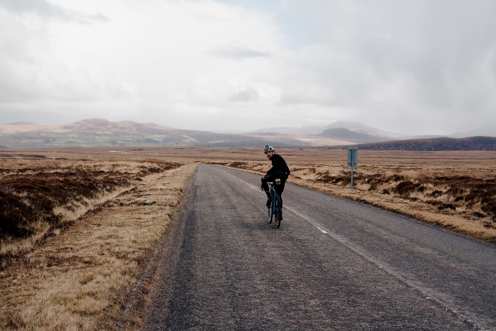
North Coast 500 – Escape to the Highlands
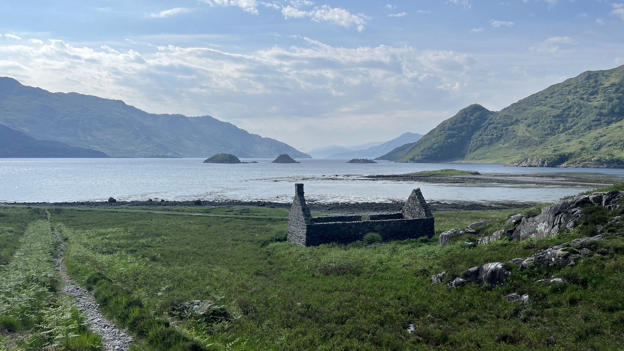
Cape Wrath Trail – Scotland’s wildest and most spectacular hiking route
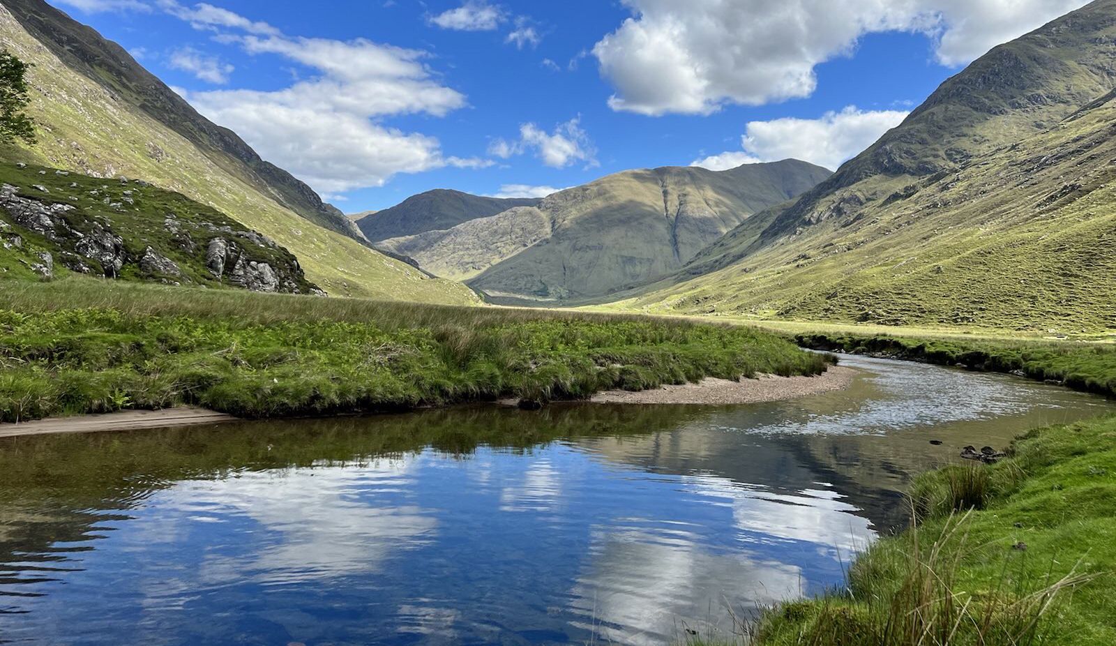
Affric Kintail Way – Hike across the magical Northwest Highlands
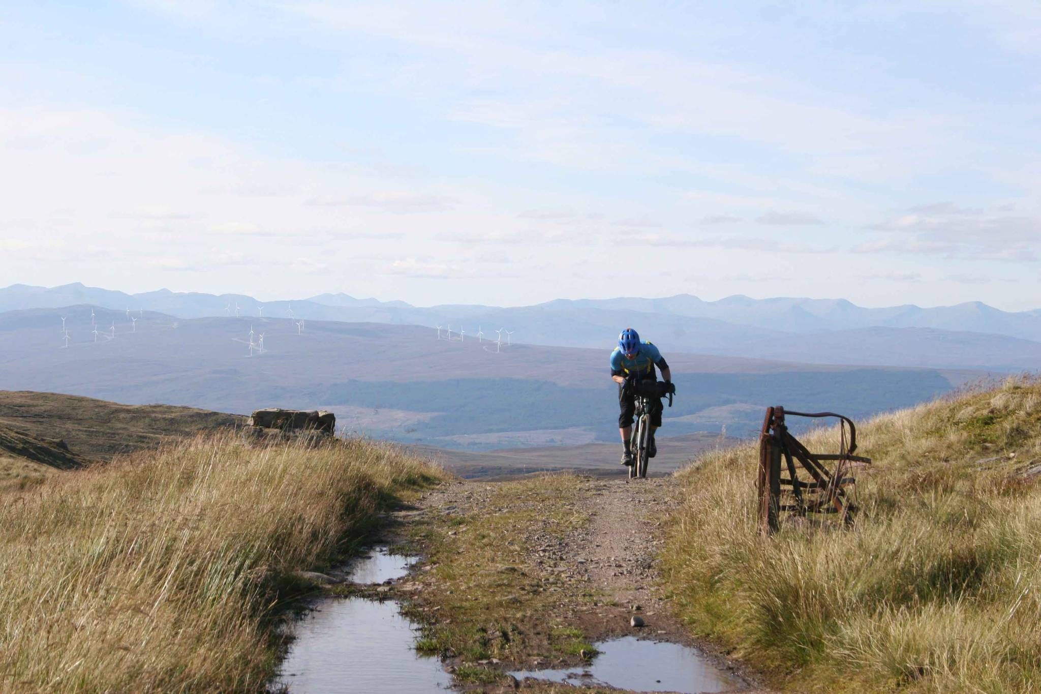
GB Divide — Great Britain end to end off-road on GBDURO
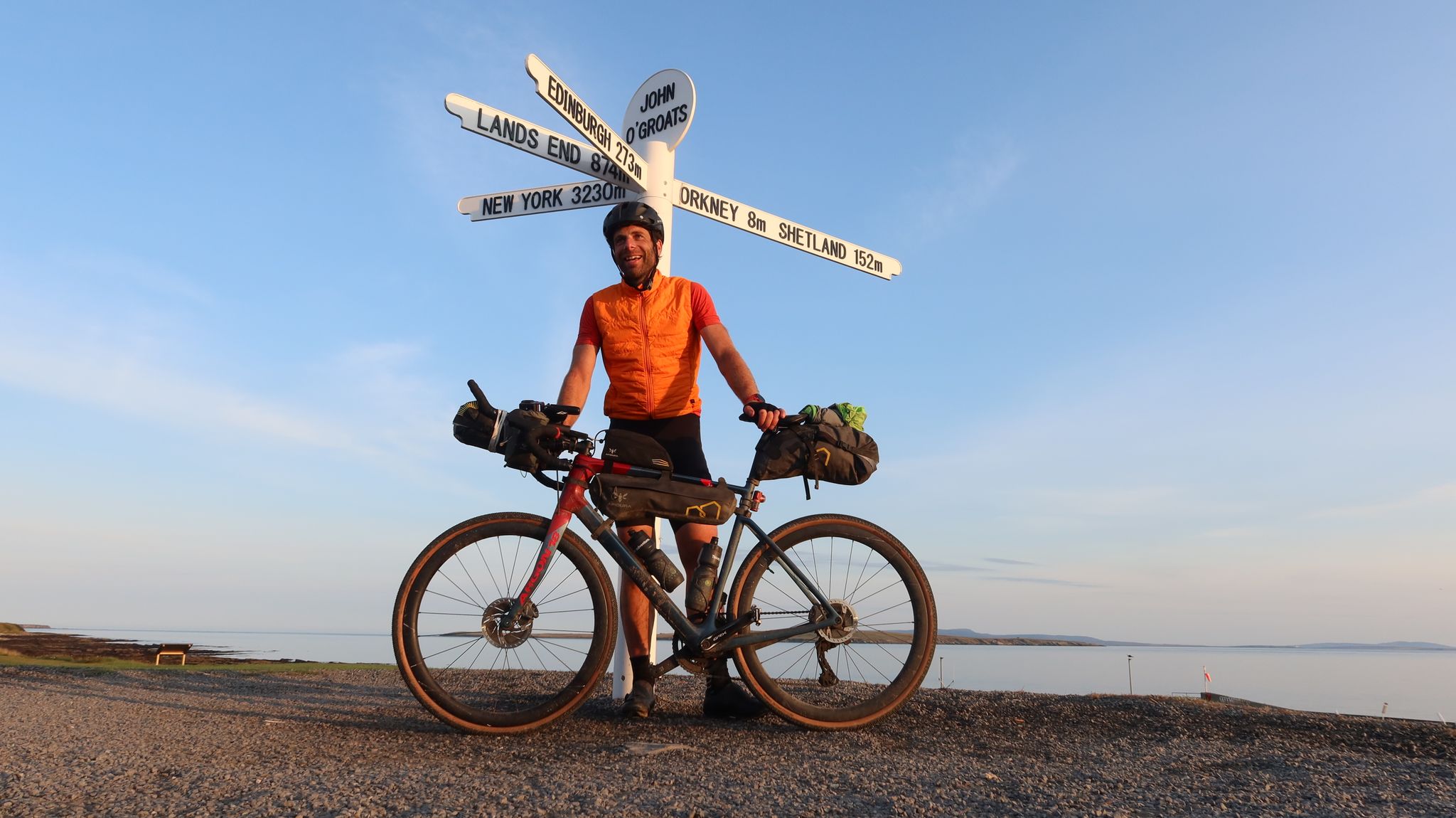
GBDURO 2021 — Gravel racing Land's End to John O'Groats
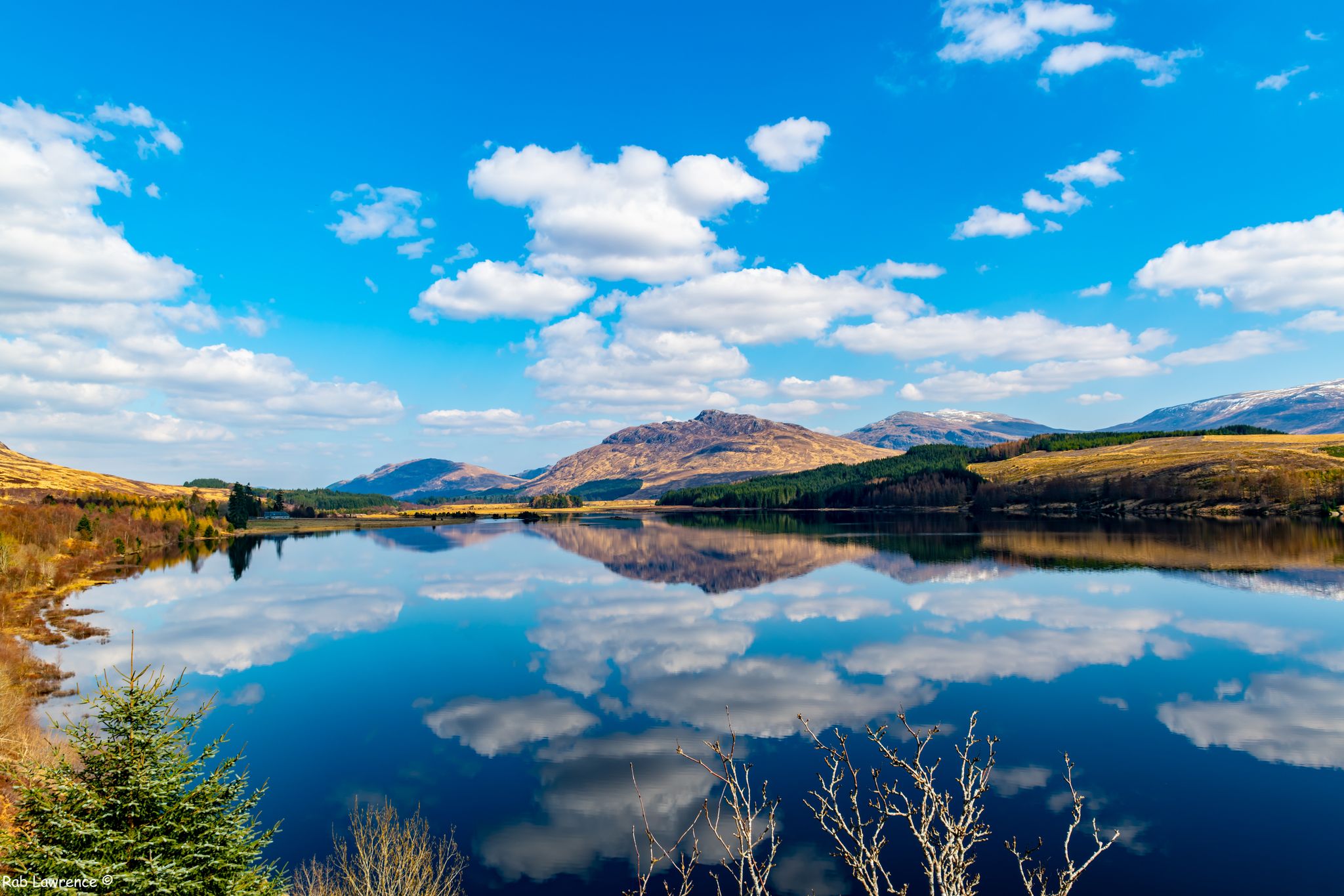
East Highland Way — Hike through Scotland's remote, mountainous heart
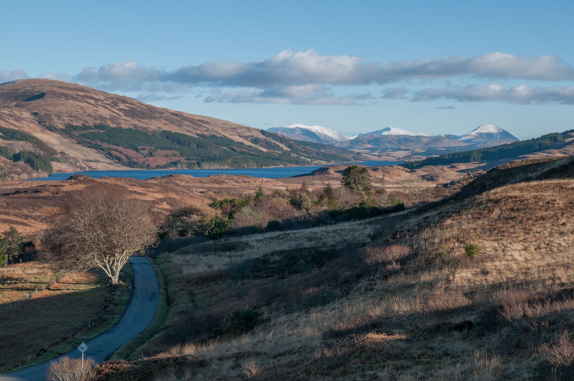
West Island Trail – Island hopping by bike in the Inner Hebrides
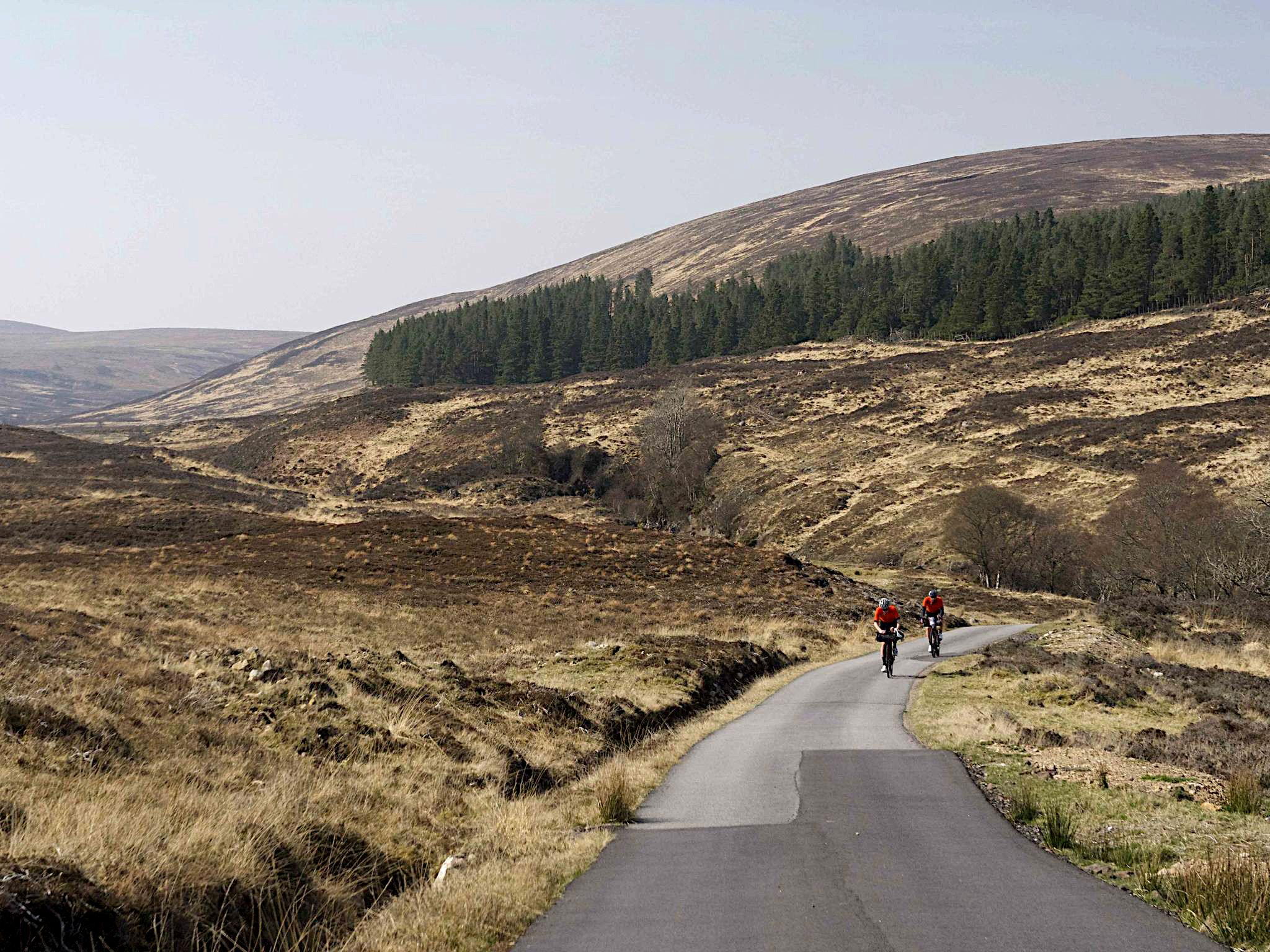
North Coast 500 Cycle Route – Scottish bikepacking adventure
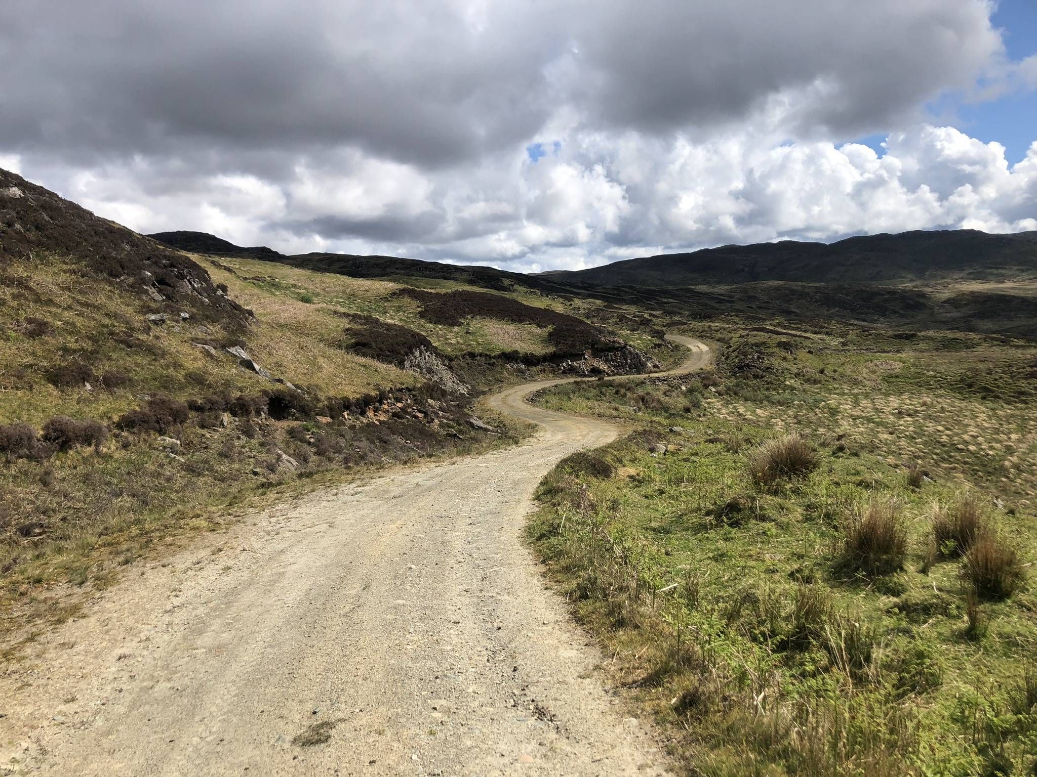
The Faultline Trail — Scotland tip to tip
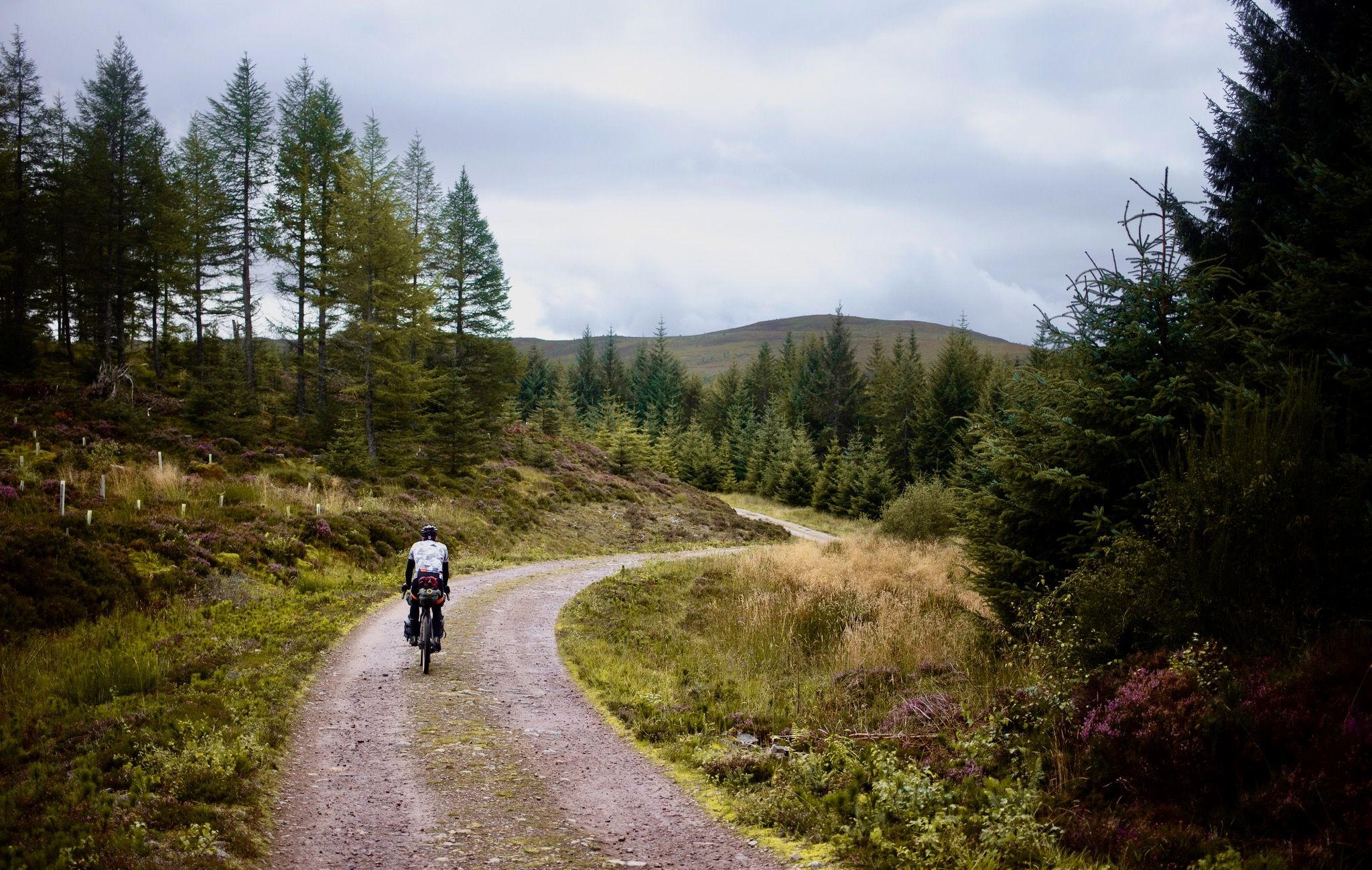
The Badger Divide — Lochs, bothies & the heart of the highlands
Other adventures in the Northwest Highlands


Tips from the Community

Fine rough and rugged peak, not unlike the rough bounds.
0
0
A fine isolated summit with extensive views to the east, north and west.
1
0

Stac Pollaidh in the Scottish Highlands is a short but impressive walk of approximately 4.7 km. From the car park, follow a well-maintained path that winds through rugged moorland. Halfway up, you can choose: circle the mountain or scramble to the summit. The eastern summit is accessible and offers panoramic views of Suilven and the Summer Isles, among other places. Good walking shoes are essential, and arriving early is worthwhile due to limited parking. Ideal between April and September for clear weather and the best views.
2
0

It's strenuous, but doable. The view rewards the effort with a truly beautiful view. 😉👍😁
1
0

Stac Pollaidh's East Summit offers breathtaking views that are as exhilarating as completing a level in Geometry Dash. As you conquer the rugged terrain, feel the adrenaline rush akin to dodging spikes and jumping over obstacles in the game. This hike not only challenges your stamina but rewards you with spectacular landscape vistas that will inspire your next gaming adventure. https://geometrydashgame.lol/
2
0

Awesome view to the Ardnamurchan peninsula and the islands of Eorsa and Ulva in Loch na Keal. Munro giants (Ben Nevis and co) on the mainland can be seen to the north-east. This is Mull's only Munro and it was actually my first ever Munro. It also makes for a great 'final Munro' due to the novelty/fun of the ferry journey over and the relative ease of the walk in comparison to other Munros.
1
1
Frequently Asked Questions
How many running routes are available in the Northwest Highlands?
There are over 330 running routes in the Northwest Highlands, catering to various skill levels. These include easy loops, moderate trails, and challenging hill runs, with an average rating of 4.6 stars from the komoot community.
Are there easy running trails suitable for beginners or families in the Northwest Highlands?
Yes, the Northwest Highlands offer several easy running trails perfect for beginners or families. An example is the Commando Memorial and High Bridge Trail, a 3-mile (4.8 km) route that takes about 30 minutes to complete and features historical landmarks and riverside paths.
What kind of landscapes can I expect to see while jogging in the Northwest Highlands?
The Northwest Highlands boast a dramatic and diverse landscape. You can expect to run through majestic mountain ranges like the Torridon Hills, along tranquil lochs such as Loch Achaidh na h-Inich, and through ancient glens like Glen Affric. The region also features a spectacular coastline with sandy beaches and rugged headlands, offering a wide variety of scenic backdrops for your run.
Are there any circular running routes in the Northwest Highlands?
Yes, many routes in the Northwest Highlands are circular, allowing you to start and finish in the same location. The Glen Affric loop from Loch Beinn a'Mheadhoin is a popular 10.8-mile (17.5 km) option, exploring one of Scotland's most beautiful glens. Another great choice is the Loch Achaidh na h-Inich Circuit, offering stunning lochside views.
What are some notable landmarks or attractions I can see along running routes?
You can incorporate several iconic landmarks and natural attractions into your runs. The Commando Memorial and High Bridge Trail passes by the Commando Memorial. For dramatic mountain views, consider routes near Stac Pollaidh East Summit or Ben Nevis. The region also features impressive geological sites like Knockan Crag and fascinating caves such as Smoo Cave.
What is the best season for trail running in the Northwest Highlands?
The best season for trail running in the Northwest Highlands is generally from late spring to early autumn (May to September). During these months, the weather is milder, daylight hours are longer, and trails are typically drier. However, the region's weather can be unpredictable, so always be prepared for changing conditions.
Are there any challenging mountain running routes for experienced runners?
Absolutely. The Northwest Highlands are renowned for their challenging mountain terrain. Routes like the Stac Pollaidh Trail offer steep ascents and panoramic views. For even more demanding runs, consider the Sgùrr nan Coireachan & Sgurr Thuilm loop from Glenfinnan or the Gulvain Trail, which involve significant elevation gain and rugged conditions.
Can I find less crowded running routes for a sense of solitude?
Yes, the Northwest Highlands are known for their wildness and offer many opportunities for quiet runs away from the crowds. While popular trails can see more visitors, exploring routes further into the glens or less-frequented mountain paths can provide a profound sense of solitude and stunning, uninterrupted vistas.
Are there running routes that offer views of the coast or beaches?
The spectacular coastline of the Northwest Highlands provides unique running experiences. Areas like Balnakeil Beach and Achmelvich Beach are ideal for beach jogging. The Glenelg Peninsula loop from Glenelg offers varied terrain with stunning Highland views, often including glimpses of the sea and distant islands.
What do other runners enjoy most about jogging in the Northwest Highlands?
The komoot community highly rates the running routes in the Northwest Highlands, with an average score of 4.6 stars from over 70 reviews. Runners frequently praise the region's unparalleled natural beauty, the sense of wildness and solitude, and the diverse topography that offers challenges for all abilities. The opportunity to run through historically rich environments is also a significant draw.
Are there any specific permits required for running on trails in the Scottish Highlands?
Generally, no specific permits are required for recreational running on most trails in the Scottish Highlands due to Scotland's 'right to roam' access laws. However, always follow the Scottish Outdoor Access Code, which includes respecting private land, protecting the environment, and ensuring public safety. Some specific areas or events might have their own regulations, so it's always wise to check local guidelines if you plan to run in a very specific or protected area.
Are there running routes accessible by public transport in the Northwest Highlands?
While many routes in the Northwest Highlands are best accessed by car, some areas do have limited public transport options, primarily bus services connecting larger towns and villages. Planning ahead is crucial, as services can be infrequent. Consider routes that start or end near communities with bus stops, or look into local taxi services for access to more remote trailheads.
Can I find running routes with parking facilities?
Most trailheads for popular running routes in the Northwest Highlands will have designated parking areas, though these can sometimes be small or fill up quickly during peak season. Routes like the Glen Affric loop from Loch Beinn a'Mheadhoin typically have parking available near the starting point. Always check specific route details for parking information.
Most popular routes in the Northwest Highlands
Most popular attractions in the Northwest Highlands

Get inspired with the komoot mobile app


Explore more
Browse the best Running Trails & Routes in other regions.
