The best road cycling routes around Cérilly
5.0
(3)
72
riders
49
rides
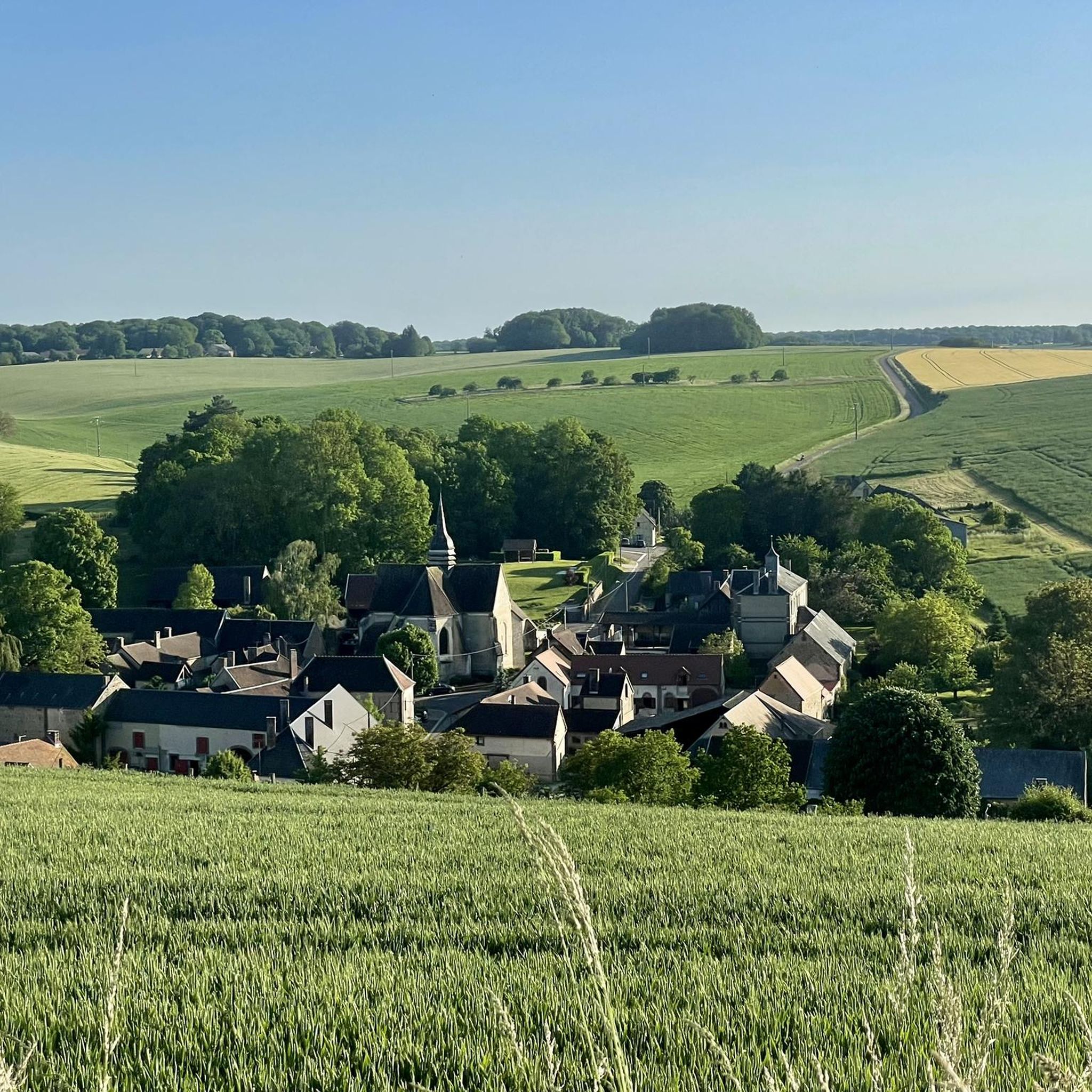
Road cycling routes around Cérilly are situated within France's Allier department, offering diverse terrain for cyclists. The region is characterized by the vast Tronçais Forest, known for its ancient oak groves and generally flat, well-paved surfaces. Beyond the forest, the Bourbonnais bocage presents a landscape of rolling, green countryside with gentle slopes. This combination provides varied cycling experiences, from serene forest paths to pastoral views.
Best road cycling routes around Cérilly
- The most popular road cycling route is 20% climb!…
Last updated: July 15, 2026
13
riders
52.8km
02:22
520m
510m
Moderate road ride. Good fitness required. Mostly well-paved surfaces and easy to ride.
5.0
(1)
6
riders
42.6km
01:49
340m
340m
Moderate road ride. Good fitness required. Mostly well-paved surfaces and easy to ride.

Sign up for free
3
riders
51.7km
02:20
470m
470m
Moderate road ride. Good fitness required. Mostly well-paved surfaces and easy to ride.
4
riders
35.8km
01:38
340m
340m
Moderate road ride. Good fitness required. Mostly well-paved surfaces and easy to ride.
5.0
(1)
3
riders
25.1km
01:08
250m
250m
Easy road ride. Great for any fitness level. Mostly well-paved surfaces and easy to ride.
Get access to more routes and recommendations from other explorers.
Sign up for free
Already have an account?
Our route recommendations are based on thousands of hikes, rides, and runs completed by other people on komoot.
Start today with a free account
Your next adventure awaits.
Login or Signup
Popular around Cérilly

Tips from the Community

Beautiful church in the village of Dixant, dating from the 9th century. Two additional bays were built in the 13th century with heads of figures on the capitals.
0
0

Founded in 1209 on the edge of the forest of Othe by the Order of Gramont, a religious community which had an important influence in the region, this priory was ruined by the Hundred Years War, but rebuilt at the beginning of the 16th century. The order was abolished in 1772 and the building sold for its stones during the French Revolution. Of the priory, all that remains today is the arcature of the facade as well as the ruins of the chapel and the priory dwelling. In the 19th century, there were still ribbed vaults, but they collapsed. The apse which had walls rising up to 4 m also collapsed during the winter of 1996-1997. It is a private property open to the public only on certain occasions such as heritage days. Difficult to see anything other than the facade visible from the road. For other points of view, a short film is available here: https://www.dixmont-yonne.fr/decouvrir/videos/prieure-lenfourchure/
0
0

In the middle of the forest, you will find at this intersection a menhir 1.3 meters high with this plan.
2
0
This pierced stone is in fact a megalith in cliquart sandstone (variety of hard sandstone) with a height of around 1.40 m in square shape and which, according to recent archaeological expertise, dates from the Iron Age (around 700 years BC) . It is located at the crossroads of two very pleasant roads that cross the forest.
0
0
At the foot of a climb in the forest, here is a calm valley in the heart of which this monument was erected in memory of a group of resistance fighters who worked in the region. A few hundred meters away, the rock of the devil which is made up of a pile of rocks; the small road that leads to this rock ends in dirt roads. The water in the fountain is marked as non-potable. I haven't tried it, but it can at least be used to cool the face or body in case of hot weather.
0
0

Very nice view of Saint Florentin from the marina.
1
0

Saint Florentin is a pleasant little town that has been very well restored. The two fun and informative anecdotes to take away from the city are as follows: during the Revolution, Saint-Florentin was one of the most dynamic places of Theophilanthropy, a religion which succeeded the cult of reason and the supreme being between 1798 and 1801. During the convention, the anticlerical republicans renamed Saint-Florentin and called it Mont-Armance between 8 Germinal of Year Two (March 28, 1794) and 6 Ventôse of Year Three (February 24, 1795). The city is located on the edge of the Armance and the Burgundy Canal, but also the N77. Some ingenious minds wanted to take inspiration from the legendary American route 66 in the hope of attracting tourists, and now call it route 77.
2
0

Nice modernization. Pleasant city center
0
0
Frequently Asked Questions
What is the general terrain like for road cycling around Cérilly?
The Cérilly region offers diverse terrain. The prominent Tronçais Forest features generally flat, well-paved surfaces, ideal for smooth road biking. Outside the forest, the Bourbonnais bocage presents a landscape of rolling, green countryside with gentle slopes, providing varied cycling experiences.
Are there road cycling routes suitable for beginners or those seeking an easier ride?
Yes, Cérilly offers routes for various skill levels. For an easier experience, consider routes like the Church loop from Aix-Villemaur-Pâlis, which is rated as easy and covers about 38 km with moderate elevation gain.
What kind of natural features can I expect to see along the road cycling routes?
Road cycling routes around Cérilly often take you through the ancient oak groves of the Tronçais Forest, where you can admire centuries-old trees like the Chêne de la Résistance and the Chêne Sentinelle. You'll also encounter picturesque ponds such as the Étang de Saint-Bonnet-Tronçais, Étang de Morat, and Étang de Pirot, adding to the scenic beauty.
Are there any specific landmarks or points of interest accessible by bike?
While cycling, you might pass by interesting local points. For example, you could explore attractions like The Ten-Fingered Stone or the Saint-Étienne Church of Aix-en-Othe. The Chigy Watermill also offers a glimpse into local heritage.
What is the best time of year for road cycling in Cérilly?
The region is generally pleasant for cycling. Spring and autumn offer mild temperatures and beautiful scenery, especially with the changing colors of the Tronçais Forest. Summer can also be enjoyable, particularly for rides within the shaded forest paths.
Are there any long-distance road cycling routes or circuits around Cérilly?
Yes, there are several substantial routes. The Road cycling – Church loop from Paisy-Cosdon is a popular choice, covering nearly 64 km. Another option is the Saint-Florentin loop from Bœurs-en-Othe, which is over 51 km long.
Can I find challenging road cycling routes with significant elevation gain in the area?
Absolutely. For cyclists looking for a challenge, the 20% climb! – Church loop from Aix-Villemaur-Pâlis offers significant elevation gain over its 55 km, providing a demanding experience.
Are there any specific regulations or permits needed for cycling in the Tronçais Forest?
Many of the forest paths within the Tronçais Forest are closed to motorized traffic, offering peaceful and safe riding conditions for road cyclists. Generally, no specific permits are required for recreational cycling on designated paths. However, it's always good practice to respect local signage and forest regulations.
What do other road cyclists think about the routes around Cérilly?
The road cycling routes around Cérilly are highly rated by the komoot community, with an average score of 5.0 stars from more than 2 reviews. Cyclists often praise the varied terrain, from the serene forest paths to the rolling countryside, and the well-paved surfaces.
Are there family-friendly road cycling options in Cérilly?
The Tronçais Forest, with its relatively flat and well-paved surfaces, offers excellent opportunities for family-friendly cycling. The dedicated cycling circuit, the "Balade en Forêt de Tronçais," which starts in Cérilly, is a great option for a relaxed ride through the forest, including past the Étang de Saloup.
Where can I find parking for road cycling routes in Cérilly?
Cérilly serves as an ideal starting point for many routes. You can typically find parking within the town center or at designated access points around the Tronçais Forest, especially near popular trailheads or ponds like the Étang de Saint-Bonnet-Tronçais.
Are there any circular road cycling routes available?
Yes, many of the routes around Cérilly are designed as loops, allowing you to start and finish in the same location. Examples include the Road cycling loop from Aix-Villemaur-Pâlis and the Road cycling – Church loop from Paisy-Cosdon, providing convenient circular journeys.
Most popular routes around Cérilly
Most popular attractions around Cérilly

Get inspired with the komoot mobile app


Explore more
Browse the best Road cycling routes in other regions.
