Routes

Planner

Features

Updates

App

Login or Signup

Get the App

Login or Signup

Routes
Running Trails
United States

California

The best running trails in California

4.5

(1591)

149,413

runners

8,987

runs

If you've ever tried to plan jogging in California, you know how quickly the sheer number of options can feel overwhelming. With so many miles of coastline, mountains, and city parks, how do you pick the genuinely rewarding routes from the endless list? It's tough to tell the true highlights from the filler, and nobody wants to waste precious time on a mediocre run.

That's where we come in. Our komoot community has logged thousands of miles, reviewing and mapping the best jogging routes across the Golden State. We've sifted through the noise to bring you a curated shortlist of trails truly worth your legs, saving you the guesswork and pointing you straight to the good stuff.

California is a jogger's dream, offering everything from breezy coastal paths and urban greenways to more challenging mountain ascents. You'll find diverse landscapes, from the iconic beaches of Southern California to the lush urban trails of its major cities. While many routes are accessible year-round, some higher elevation trails might have seasonal closures, so it's always good to check conditions.

If you only do one route, we'd start with the classic Venice Beach Boardwalk out and back & Santa Monica. This 6.9 miles (11.1 km) route offers quintessential California vibes with ocean views and vibrant street life – perfect for a scenic, moderate run. For a slightly shorter, family-friendly option, the Chase Palm Park 5k running loop from Santa Barbara Station is a fantastic choice at 3.1 miles (4.9 km), offering easy, flat terrain right by the water. With over 8,900 routes mapped by our community, you're sure to find your next favorite run.

Last updated: May 10, 2026

4.9

(14)

1,876

runners

#1.

Venice Beach Boardwalk out and back & Santa Monica

11.1km

01:09

20m

20m

The Venice Beach Boardwalk out and back & Santa Monica route offers a vibrant coastal jogging experience, blending continuous ocean views with the lively atmosphere of two iconic California beach towns. You'll run on a predominantly flat, paved path, passing by palm trees and the unique street art and performers of Venice Beach. This moderate 6.9-mile (11.1 km) route, with only 81 feet (25 metres) of elevation gain, takes about 1 hour and 8 minutes, making it perfect for an accessible and scenic run.

To make the most of your visit, consider starting your jog in the early morning. This allows you to enjoy the coastal serenity before the Venice Beach Boardwalk becomes bustling with crowds. The path is wide and multi-use, suitable for various activities, and generally easy to navigate. No special permits or fees are required for this public access route.

This route is notable for its iconic status, traversing the world-famous Venice Beach Boardwalk, which is Southern California's second-largest tourist attraction. You'll pass by landmarks like Muscle Beach and the Santa Monica Pier, both of which have a significant presence in pop culture. The trail's accessibility and consistently beautiful coastal scenery make it a popular choice for both locals and visitors.

Navigate with device

Send to Phone

Save

Moderate

5.0

(7)

552

runners

8.47km

00:52

0m

0m

The Ocean Front Walk offers a vibrant, classic Southern California jogging experience right along the Pacific coastline. You'll cruise along a wide, paved multi-use path, soaking in expansive ocean views and passing lively beach communities. Keep an eye out for landmarks like Crystal Pier as you enjoy the continuous stretch of sandy shores and the energetic atmosphere.

This route is generally considered easy due to its flat terrain, but the 5.3 miles (8.5 km) distance can make it a moderate workout, typically taking about 52 minutes. With only 15 feet (5 metres) of elevation gain, it's accessible for most. Since it's a popular shared-use path, consider heading out in the early morning or late afternoon to avoid crowds and enjoy cooler temperatures.

What makes this trail stand out is its immersion in the lively culture of Southern California's boardwalks. Lined with shops and restaurants, it provides a straightforward, scenic jogging path that captures the essence of a perfect beach day. It's an ideal choice if you're looking for a flat, engaging run with plenty to see.

Moderate
guide_signup
Let us show you the way with the komoot mobile app
With a free komoot account, you can easily find, customize, and navigate endless outdoor adventures.

Sign up for free

The Maria Ygnacio Bike Path and Obern Trail offers a wonderfully tranquil jogging experience, guiding you along paved surfaces through a mix of natural riparian habitats and pleasant residential areas. You'll follow the Atascadero Creek, known for its small wildlife and birdwatching opportunities, before transitioning to the Maria Ygnacio Bike Path, which meanders through green spaces and alongside the Maria Ygnacio Creek. This 3.8-mile (6.2 km) route is almost entirely flat, with only 13 feet (4 metres) of elevation gain, making it a moderate and accessible option for a quick 37-minute run.

Planning your visit is straightforward, as these trails are popular and well-connected within the Santa Barbara and Goleta area. The route is ideal for casual users, families, and even those with strollers or wheelchairs, thanks to its mostly flat and paved terrain. A previously closed section of the Maria Ygnacio Bike Path near the U.S. 101 undercrossing has now reopened, ensuring a smooth and uninterrupted journey.

These trails are more than just a place to jog; they are crucial connectors in the region, linking Goleta Beach Park to areas like the Modoc Preserve and Patterson Open Space. The Maria Ygnacio Creek itself is an Environmentally Sensitive Habitat Area, home to steelhead trout, adding an ecological dimension to your run. It's a fantastic option for those seeking a quiet, traffic-free route that integrates community access with natural beauty.

Moderate

1

runners

The Petaluma River Park Trail offers a delightful and accessible jogging experience along the Petaluma River, perfect for a quick escape into nature. This easy 1.5-mile (2.4 km) route features a flat, mostly paved path with only 15 feet (5 metres) of elevation gain, making it ideal for all fitness levels. You can expect to complete the jog in about 16 minutes, enjoying serene riverfront scenery and passing by points of interest like the Steamer Gold Wreck and Channel Park.

When planning your visit, you'll find the trail is very convenient, with portable restrooms located near the River Heritage Center and the Steamer Landing Parking Lot. It's a dog-friendly jogging route, but remember to keep your furry friend on a leash to protect the diverse wildlife. The trail is enjoyable throughout the year, though spring and fall provide the most comfortable conditions for a run.

This trail is part of a larger wetland system, making it a significant spot for wildlife observation, especially birdwatching, with over 200 species recorded. Beyond its natural appeal, the park also features public art, including the monumental "Huru" sculpture by Mark di Suvero, blending art with the natural environment. It's a great option for family-friendly jogging or a peaceful solo outing.

Easy

5.0

(8)

369

runners

The Shoreline Beach Pedestrian Path offers a delightful coastal jogging experience, stretching 5.7 miles (9.1 km) along the Long Beach waterfront. With only 32 feet (10 metres) of elevation gain, this moderate route is incredibly flat and takes about 56 minutes to complete, making it perfect for a relaxed run. You'll glide along a dedicated, resin-based path, enjoying continuous views of the Pacific Ocean, white sand beaches, and landmarks like the Aquarium of the Pacific and Rainbow Harbor.

Planning your visit is straightforward, as the path is easily accessible with numerous entry points. You'll find public restrooms and water fountains conveniently spaced along the route. For the most scenic experience, consider an evening jog; the path around Shoreline Village is particularly stunning at sunset, casting a beautiful glow over the harbor and city skyline.

What makes this path truly stand out is its dedicated jogging surface, which is softer and more forgiving than concrete, designed specifically for comfort. It provides an uninterrupted oceanfront experience, seamlessly integrating with Long Beach's vibrant attractions like the Queen Mary and Shoreline Village. This family-friendly route is also a popular choice for its romantic charm, especially near the Love Lock Bridge, offering a unique blend of exercise and sightseeing.

Moderate

5.0

(1)

367

runners

12.3km

01:16

20m

20m

The Bayshore Bikeway offers a delightful jogging experience, tracing the picturesque San Diego Bay on predominantly paved, flat surfaces. You'll enjoy diverse scenery, from the urban waterfront with views of downtown San Diego and the USS Midway Museum, to the more natural sections passing through the San Diego Bay National Wildlife Refuge. Keep an eye out for the striking Coronado Bridge and the iconic Hotel del Coronado as you make your way along this engaging route.

This moderate 7.6-mile (12.3 km) segment, with a minimal 61 feet (19 metres) of elevation gain, can be completed in about 1 hour and 15 minutes. However, be prepared for minimal shade along much of the route, especially on the Silver Strand, so carrying ample water and wearing sun protection is highly recommended. The trail is easily accessible and passes near various parks and beaches, offering plenty of spots to start or take a break.

Part of the larger 24-mile Bayshore Bikeway, this route is a segment of the California Coastal Trail, connecting several communities around San Diego Bay. Its unique blend of urban landmarks, like the Embarcadero Marina Park North, and natural beauty, including potential wildlife sightings, makes it a notable option for joggers. You'll find numerous amenities, including cafes, along its course, and the option to use the Coronado Ferry can add flexibility to your journey.

Moderate

4.0

(2)

361

runners

If you're looking for a classic California coastal run, the Santa Barbara Beach Trail delivers continuous Pacific Ocean views and a relaxed atmosphere. This 6.7-mile (10.8 km) route is mostly flat and paved, offering a moderate jogging experience with just 136 feet (41 metres) of elevation gain. You'll pass iconic landmarks like Stearns Wharf and the Andrée Clark Bird Refuge, making it a visually engaging journey that takes about 1 hour and 6 minutes to complete.

Planning your visit is straightforward, as the trail is easily accessible and popular among locals and visitors alike. While the paved path is suitable for most, you can find softer sand sections on the adjacent beach at low tide. Be aware that the trail can get busy, especially on weekends, so consider an early morning or weekday run for a more serene experience. Parking is available, but it's a good idea to arrive early to secure a spot.

What makes this one of the best jogging trails in Santa Barbara is its blend of accessibility and natural beauty. The route offers excellent opportunities for wildlife viewing, from marine life in the ocean to diverse bird species at the refuge. The backdrop of the Santa Ynez Mountains against the palm-lined coast creates a quintessential Southern California experience, perfect for a refreshing workout or a leisurely jog.

Moderate

5.0

(1)

234

runners

18.7km

01:56

30m

30m

The Mission Bay Bike Path offers a fantastic opportunity for a long, scenic jog around the sparkling waters of Mission Bay in San Diego. This 11.6-mile (18.7 km) loop takes you past palm trees, sandy beaches, and marinas, with continuous views of the bay and landmarks like SeaWorld. The terrain is mostly flat and paved, making it a smooth experience, though you'll encounter a steeper incline over the Mission Bay Channel bridge.

Rated as difficult due to its length, this route involves a sustained effort over 1 hour and 55 minutes, with a minimal 105 feet (32 metres) of elevation gain. It's best to plan your visit for weekdays or early mornings, as the path can become quite crowded with cyclists and other pedestrians, especially on weekends. Public restrooms and amenities are available along the route, and parking can be found at various points around Mission Bay Park.

This Mission Bay Bike Path loop jogging route is celebrated for its refreshing ocean breeze and unique blend of urban convenience and natural beauty. It's an excellent option for a long, flat, off-road run, and you can even extend your workout by connecting to nearby paths like the Fiesta Island loop or the Mission Beach/Pacific Beach boardwalk. It's a favorite spot for locals and tourists alike, offering a substantial workout amidst stunning coastal scenery.

Hard

258

runners

The Lake Miramar Loop Trail offers a delightful escape into nature right within San Diego, providing a consistent and scenic jogging experience. You'll circle the beautiful Lake Miramar on a paved path, with a parallel dirt option for those who prefer it, enjoying continuous lake views and diverse flora like eucalyptus and palms. Keep an eye out for waterfowl and don't miss the stunning panoramic views of La Jolla, Coronado, and the Pacific Ocean from the dam on the western side of this moderate 5.0-mile (8.0 km) route, which typically takes about 55 minutes to complete with a gentle 190 feet (58 metres) of elevation gain.

Planning your visit is easy, with free parking and restrooms available near the trailhead and along the route. Since shade is limited, especially during warmer months, remember to bring plenty of water and sun protection. Starting your run earlier in the day is a good idea to avoid the busiest times and enjoy a more peaceful experience on this popular route.

This trail is a true urban oasis, nestled in San Diego's Scripps Miramar Ranch, making it an ideal spot for outdoor recreation without venturing far from the city. Its accessible, multi-use nature means it's perfect for joggers, walkers, bikers, and even families with strollers, offering a consistent 5-mile loop that's great for tracking your workout or simply enjoying the natural beauty.

Moderate

This 3.1-mile (4.9 km) Chase Palm Park running loop offers a quintessential Santa Barbara experience, blending urban accessibility with stunning coastal beauty. You'll jog along flat, paved paths, enjoying continuous views of the Pacific Ocean and East Beach, framed by iconic tall palm trees and backed by the Santa Ynez Mountains. With only 20 feet (6 metres) of elevation gain, it's an easy 30-minute outing perfect for a refreshing run or walk.

Starting directly from Santa Barbara Station, this route is incredibly convenient for those arriving by public transport. The flat, paved terrain makes it suitable for all fitness levels, including strollers and wheelchairs. While generally pleasant, consider visiting during off-peak hours if you prefer a quieter experience, as the park can be a vibrant community hub, especially during weekend events.

Beyond the scenic oceanfront, the loop takes you through Chase Palm Park, where you'll discover tranquil fountains and a freshwater lagoon amidst well-tended landscapes. This route is a fantastic option for a beginner 5k running loop in Santa Barbara, offering a peaceful escape without venturing far from the city center, and it's a great way to experience the local atmosphere.

Easy
Sign up for free to see 8,978 more runs in California.

Get access to more routes and recommendations from other explorers.

Sign up for free

Already have an account?

Our route recommendations are based on thousands of hikes, rides, and runs completed by other people on komoot.

Start today with a free account

Your next adventure awaits.

Login or Signup

Popular around California

Running Trails in San Diego County
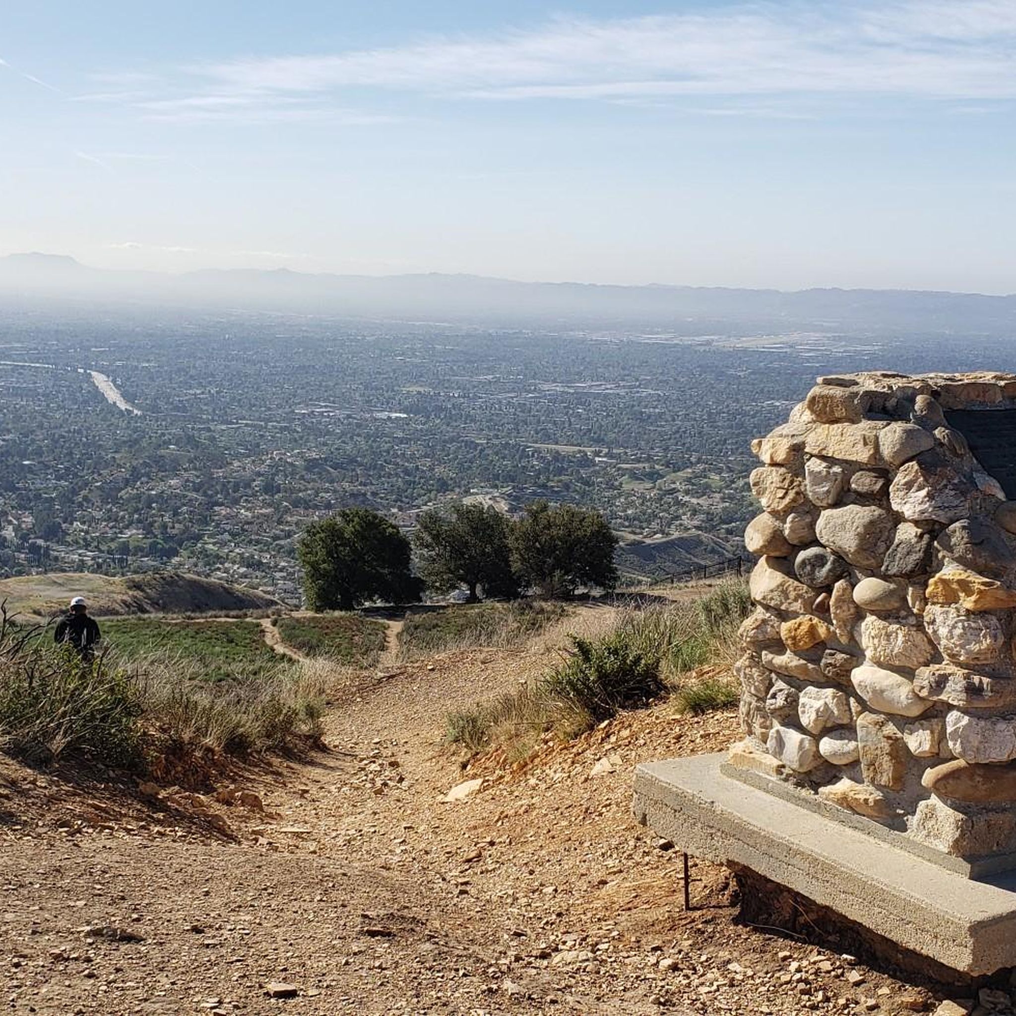
Running Trails in Los Angeles County
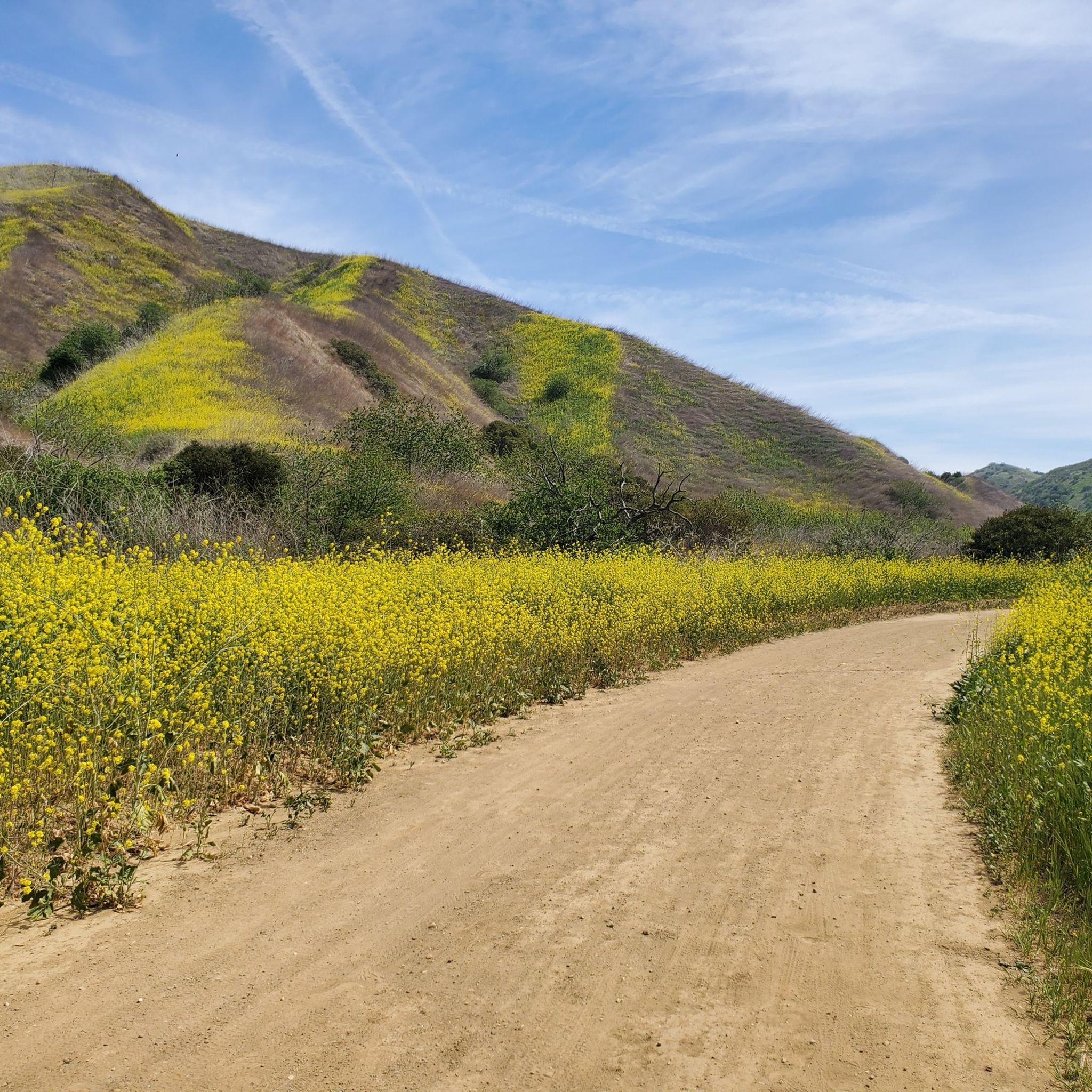
Running Trails in Santa Barbara County

Running Trails in Orange County
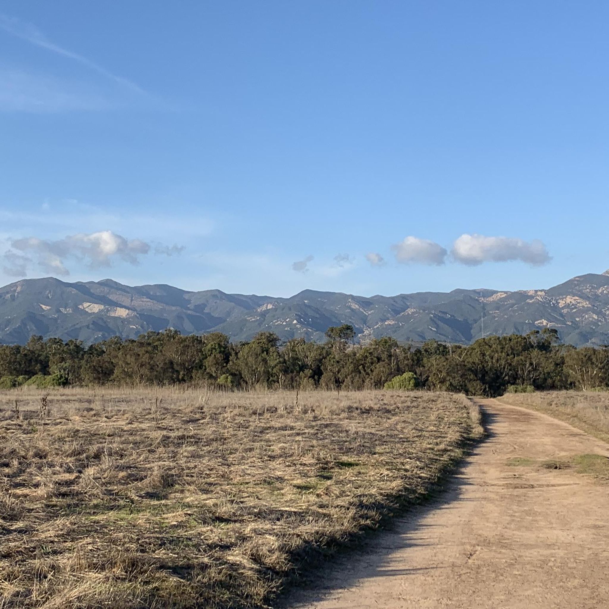
Running Trails in Santa Clara County
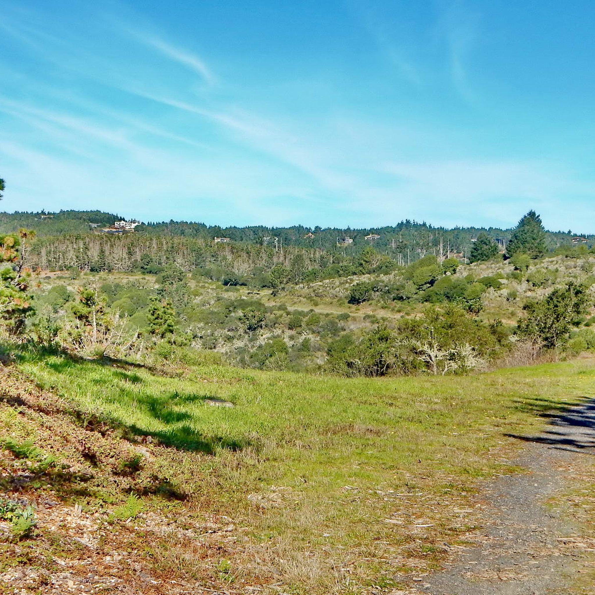
Running Trails in Marin County
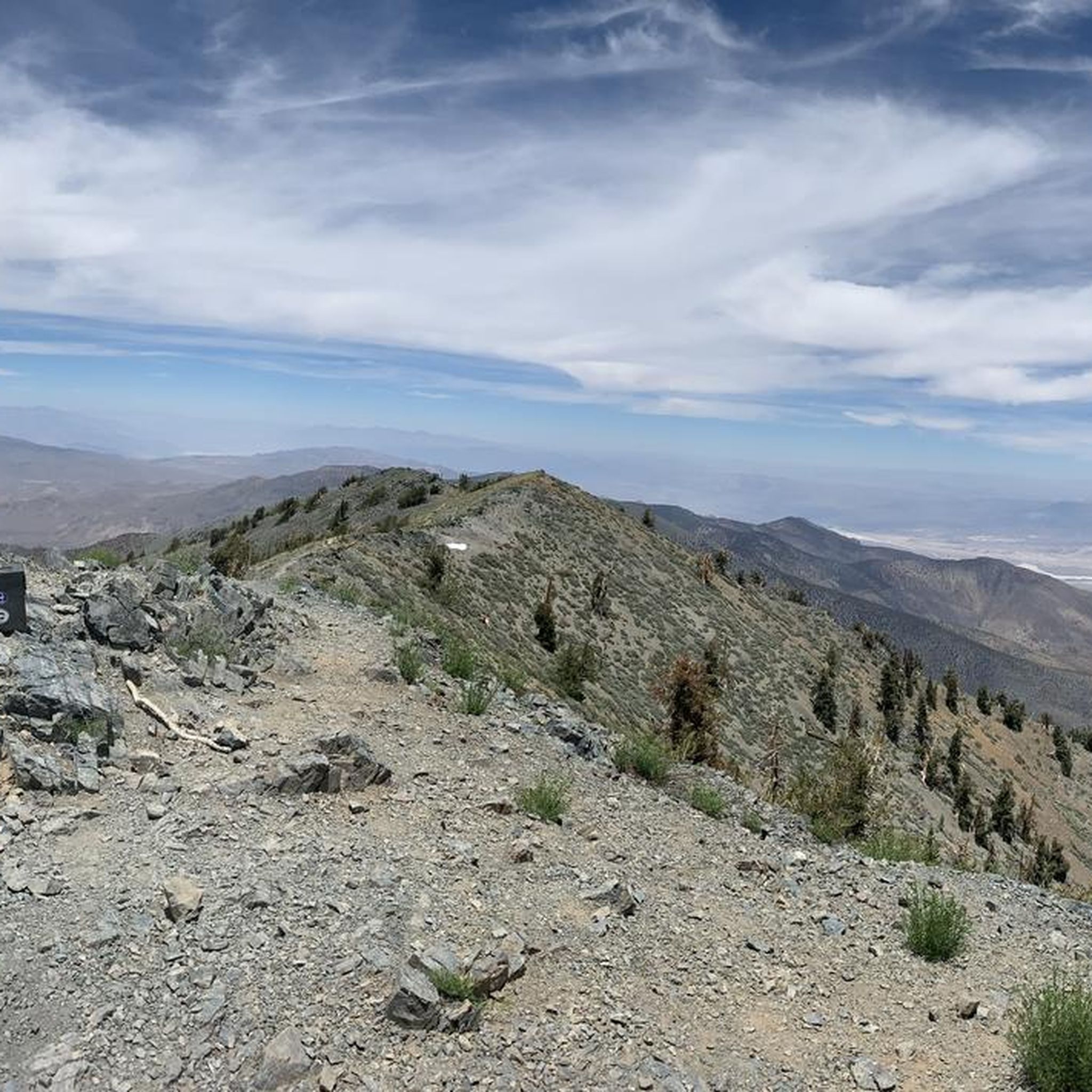
Running Trails in the Sierra Nevada
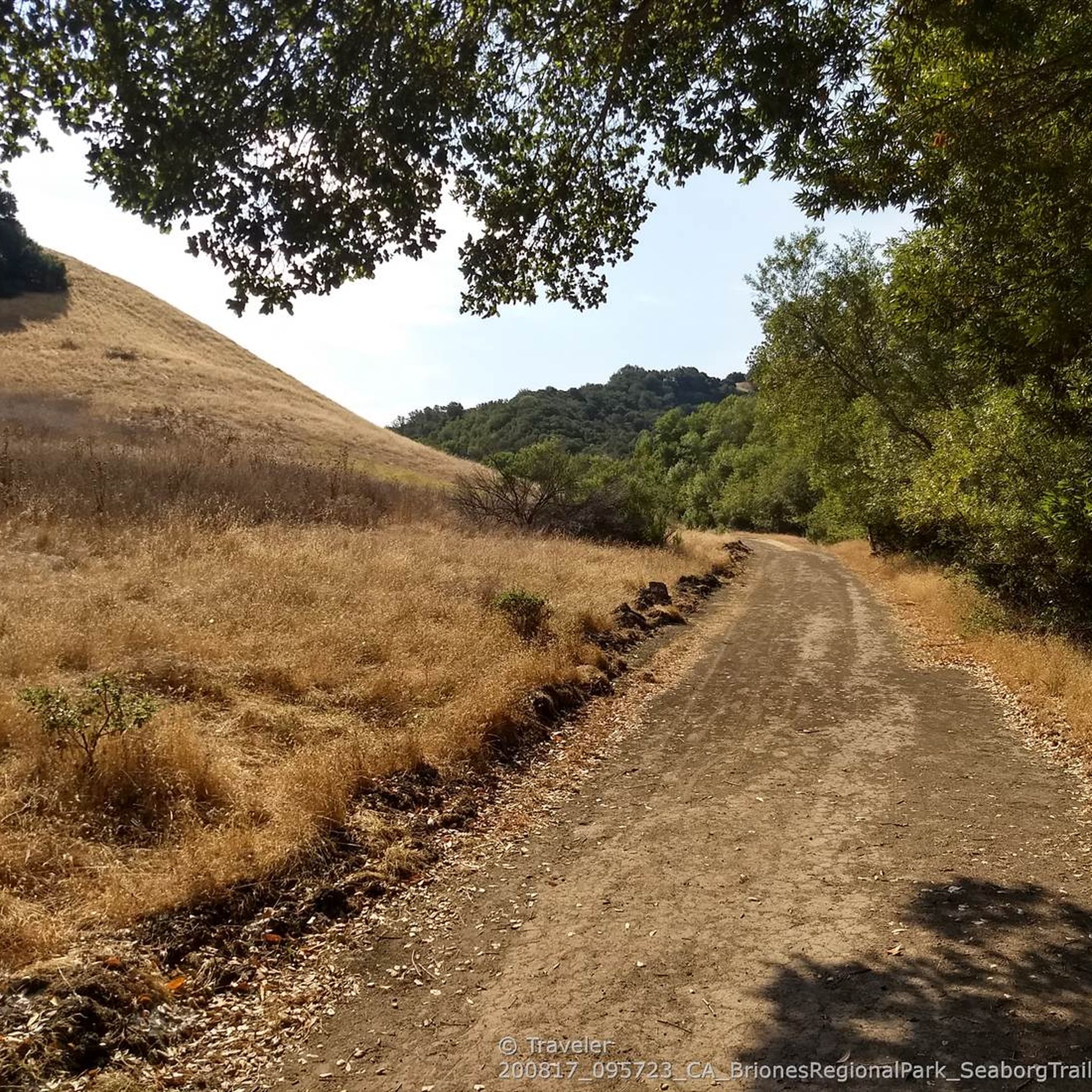
Running Trails in the Coast Range
Running Trails in Contra Costa County
Running Trails in Alameda County

Other adventures in California

John Muir Trail – Along the legendary trail through the magical Sierra Nevada

Hiking Collection by

Caro "Bandit"

Tips from the Community

Hans
February 6, 2026, San Diego Harbor & USS Midway Museum

A stroll along the promenade is worthwhile. And so is a visit to the Midway.

Translated by Google

1

0

Steamer Landing Park is a 10-acre park on the on McNear Peninsula. There are several miles of trails in the park, benches and picnic tables to take in the great views, and restrooms.

0

0

Jodi
June 24, 2025, Crystal Pier

Always a fun place to get some exercise and sun. :)

0

0

Good views and smooth concrete boulevard

0

0

Sue
January 19, 2025, Leisure Lagoon

Leisure Lagoon is a fantastic place for a picnic or relaxing along the shoreline. A grassy area surrounds the cove, with plenty of benches and restrooms nearby. There is a lifeguard station on-site, and the calm water makes for a delightful, quiet spot to swim without waves.

0

0

Patric
December 21, 2024, Stearns Wharf

I was impressed

Translated by Google

0

1

We look at the Santa Monica Pier and the surrounding area. This is also the end of Route 66. The route is very famous and legendary. Again and again you come across individual sections or you are reminded that this highway existed.

Translated by Google

4

1

Run in the morning when the route is not yet too crowded. From 11:00 am it is very crowded. Then it is better to only run on the bayside.

Translated by Google

0

0

Frequently Asked Questions

How many running routes are available in California?

California boasts an extensive network of over 8,500 running routes on komoot, offering diverse landscapes from coastal paths to mountain trails. Whether you're looking for an easy jog or a challenging ascent, you'll find plenty of options.

Are there easy running routes suitable for beginners or families in California?

Yes, California has nearly 1,000 easy running routes perfect for beginners or families. Many coastal paths and urban green spaces offer flat, accessible terrain. For example, the Chase Palm Park 5k running loop from Santa Barbara Station is an excellent easy option.

What kind of scenic views can I expect on California's running trails?

California's diverse geography means you can enjoy a wide array of scenic views. Coastal trails offer ocean vistas, sandy beaches, and rugged cliffs, while mountain routes provide stunning backdrops of peaks and valleys. You can also find trails through lush forests, unique desert landscapes, and urban green spaces with cityscapes. For example, the Venice Beach Boardwalk out and back & Santa Monica — Los Angeles route offers iconic coastal scenery.

Are there any running routes that feature waterfalls or other natural monuments?

Yes, California's national parks are home to spectacular natural features. While specific running routes might vary, areas like Yosemite National Park feature majestic waterfalls such as Vernal Fall and Nevada Fall. Sequoia and Kings Canyon National Parks are famous for giant sequoia trees, including the General Sherman Tree.

Can I find loop or circular running routes in California?

Absolutely! Many running paths in California are designed as loops, offering varied scenery without retracing your steps. A popular example is the Lake Miramar loop — San Diego, which provides a pleasant circular run around the lake.

What do other runners say about the trails in California?

The running routes in California are highly regarded by the komoot community, with an average rating of 4.6 stars from over 1,300 reviews. Runners frequently praise the diverse landscapes, well-maintained paths, and the opportunity to experience California's natural beauty while exercising.

Are there any longer, more challenging running routes for experienced runners?

Yes, for those seeking a greater challenge, California offers numerous difficult and moderate routes. For instance, the Mission Bay loop — San Diego is a difficult 11.6-mile (18.7 km) route that provides a substantial workout with scenic bay views.

Are there running routes in California that are easily accessible by public transport or have parking?

Many urban and coastal running routes in California offer good accessibility. Trails in cities like Los Angeles and San Diego often have nearby public transport stops or designated parking areas. For example, the Embarcadero Marina Park North via The Embarcadero — San Diego is a well-known route in a city area, typically with accessible parking options.

What are some popular running routes in Southern California?

Southern California offers a wealth of popular running routes, particularly along its extensive coastline. Besides the well-known Venice Beach Boardwalk, the SDSU Beach, Crystal Pier & South Mission Beach via Ocean Front Walk — San Diego is a favorite, providing a flat run along the oceanfront.

Can I find running trails near major landmarks or points of interest?

Yes, many running trails in California are located near or pass by significant landmarks. For example, in Los Angeles, you can find routes with views of the iconic Hollywood Sign, such as from the Back of the Hollywood Sign on Mount Lee. Coastal routes often feature piers, marinas, and other waterfront attractions.

Are there any running routes that offer a mix of urban and natural scenery?

California excels at blending urban convenience with natural beauty. Griffith Park in Los Angeles, for instance, offers numerous trails with city views and natural landscapes. Another great option is the Belmont Veterans Memorial Pier out and back from Shoreline Marina — Los Angeles, which combines coastal running with views of the marina and city.

What is the best time of year for running in California?

California's climate is generally favorable for running year-round, but the 'best' time depends on the region and your preference. Coastal areas are pleasant almost any time, with mild winters and warm summers. Mountain regions are ideal in spring, summer, and fall, while deserts are best explored in cooler months (fall to spring) to avoid extreme heat. Always check local weather conditions before heading out.

Most popular routes in California

Hiking in California

Most popular attractions in California

Places to see

Store rating

Get inspired with the komoot mobile app

With a free komoot account, you can easily find, customize, and navigate endless outdoor adventures.

or

Join komoot Now

Store rating

Didn’t find what you were looking for?

Check out more Running Trails & Routes throughout California below and find the perfect route in your destination.

Coast RangeSanta Clara CountySacramento CountyLos Angeles CountyMarin CountyNapa CountyMendocino CountySolano CountySan Bernardino CountyContra Costa CountySierra CountyTahoe National ForestAlpine CountyMerced CountyTulare CountyStanislaus CountyOrange CountySutter CountyYolo CountyHumboldt CountyRiverside CountyKern CountySanta Cruz CountySan Luis Obispo CountyMendocino National ForestLassen CountyTuolumne CountyMadera CountyVentura CountySan Mateo CountySan Diego CountyPlacer CountyMariposa CountyEl Dorado CountyButte CountySiskiyou CountyImperial CountyShasta CountySierra NevadaFresno CountyAlameda CountyInyo CountySanta Barbara CountyPlumas CountyMono CountyMonterey CountyNevada CountySan Joaquin CountySonoma CountySan Benito CountyAmador CountyCalaveras CountyShasta-Trinity National Forest

Explore more

Browse the best Running Trails & Routes in other regions.

IllinoisColoradoNew YorkMassachusettsHawaiiTexasFloridaHonolulu CountyUtahOregonMaui CountyMaineVirginiaWashingtonArizonaPennsylvaniaMarylandConnecticutMinnesotaMissouriNew JerseyNorth CarolinaGeorgiaSouth CarolinaAlaskaNevadaTennesseeAppalachian MountainsOhioNew HampshireMichiganKauaʻi CountyNebraskaHawaiʻi CountyRhode IslandKansasKentuckyOklahomaWisconsinIndianaNew MexicoOregon Islands WildernessSouth DakotaIdahoWyomingIowaNorth DakotaSan FranciscoSan FranciscoWashington D.CDistrict Of ColumbiaVermontDelawareArkansasPuerto RicoSan JuanSan Juan MunicipioCatañoGuaynabo MunicipioGuaynaboWest VirginiaLouisianaCata O MunicipioBayamón MunicipioMonroe CountyAlabamaToa Baja MunicipioBayamónMontanaCarolina MunicipioCarolinaTrujillo Alto MunicipioTrujillo AltoMississippiLoízaToa BajaAguadaAguada MunicipioLoíza MunicipioToa AltaToa Alta MunicipioRincónRincon MunicipioDorado MunicipioDoradoAñascoAasco MunicipioMoca MunicipioMocaGuamVega AltaAguadillaAguadilla MunicipioVega BajaVega Baja MunicipioLajas MunicipioRío GrandeRío Grande MunicipioVega Alta MunicipioUnited States Virgin IslandsLuquilloLuquillo MunicipioSalinasSalinas MunicipioAibonitoAibonito MunicipioLajasCayeyCayey MunicipioCidraCidra MunicipioCaguasCaguas MunicipioVillalbaVillalba MunicipioSan LorenzoGuraboGurabo MunicipioSan Lorenzo MunicipioMayagüezCoamo MunicipioCoamoSan GermánSan Germán MunicipioCanóvanasCanóvanas MunicipioCabo RojoCabo Rojo MunicipioLas PiedrasFajardoLas Piedras MunicipioFajardo MunicipioComer�O MunicipioComeríoJuana DíazJuana DíazIsabela MunicipioIsabelaHumacaoHumacao Municipio

Other places to explore

Nearby adventure guides

Things to Do around Coarsegold

background

Get ready to conquer new peaks

Sign up for Free

Explore
RoutesRoute plannerFeaturesHikesMTB TrailsRoad cycling routesBikepackingSitemap
Download the app
Follow Us on Socials

© komoot GmbH

Privacy Policy