The best MTB trails around Ferrières-Lès-Scey
4.4
(43)
337
riders
44
rides
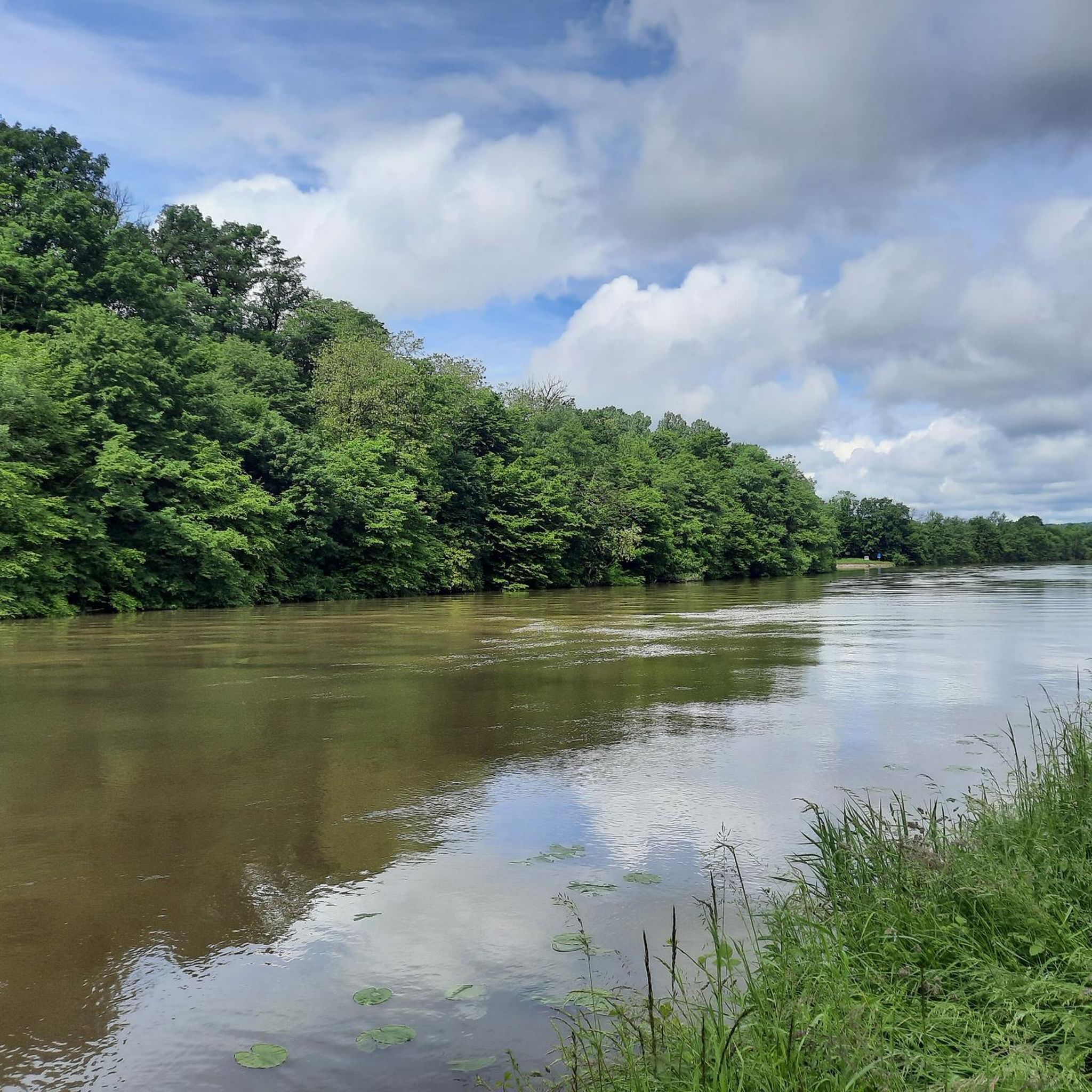
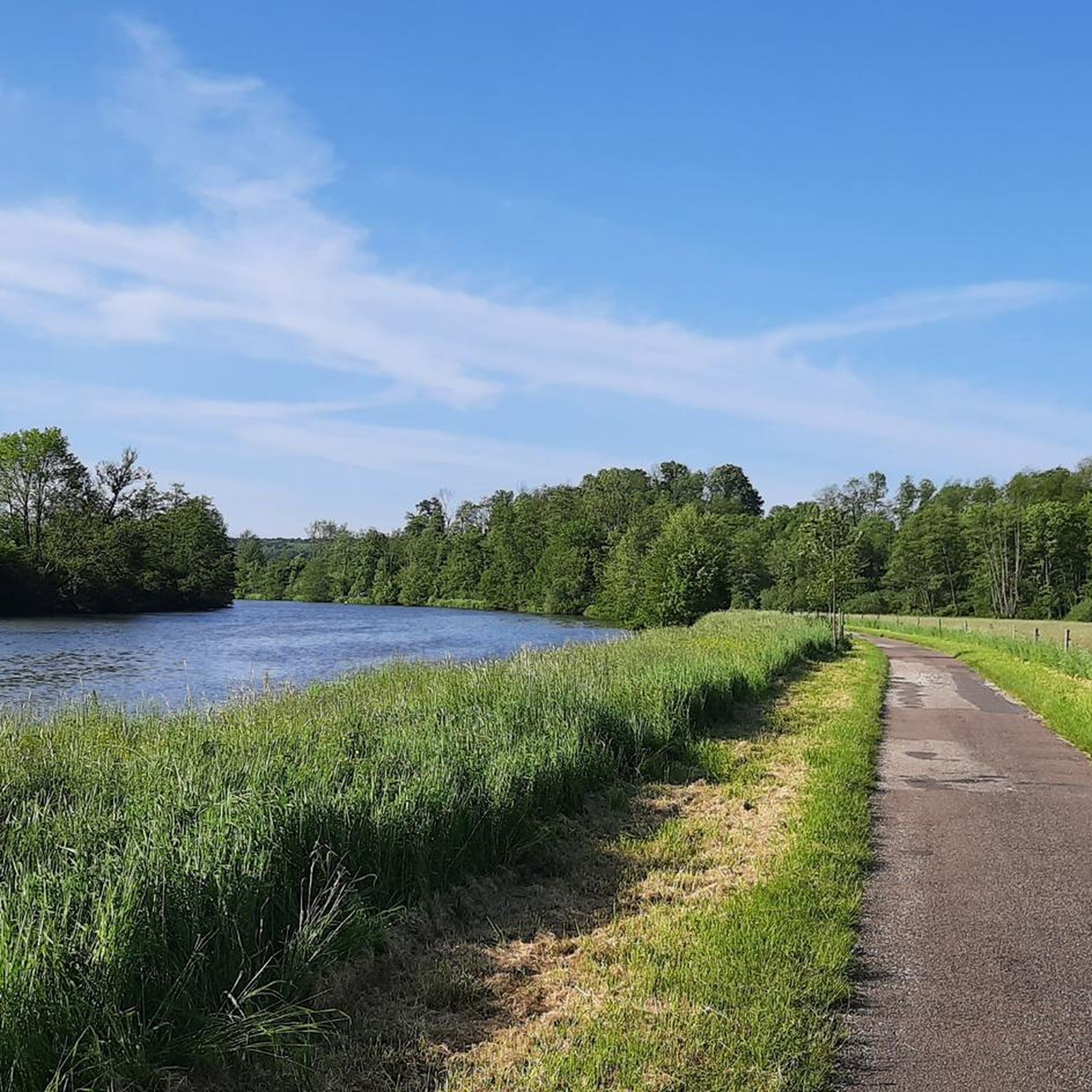
Mountain biking around Ferrières-Lès-Scey offers a variety of routes, primarily characterized by its river valleys and greenways. The terrain often features gentle elevation changes, making it accessible for various skill levels. Routes frequently follow waterways like the Saône, connecting small towns and natural areas. The landscape includes open fields, riverside paths, and sections through local woodlands.
Best mountain bike trails around Ferrières-Lès-Scey
- The most popular mountain bike trail is La Trace du Courlis Greenway – Lac de Vesoul-Vaivre Beach loop…
Last updated: October 21, 2026
4.7
(7)
29
riders
Moderate mountain bike ride. Good fitness required.
14
riders
52.2km
04:07
640m
640m
Moderate mountain bike ride. Good fitness required. Advanced riding skills necessary.

13
riders
23.2km
01:24
110m
110m
Easy mountain bike ride.
3.5
(2)
19
riders
Easy mountain bike ride.
5.0
(1)
10
riders
22.6km
01:28
100m
100m
Easy mountain bike ride.
Get access to more routes and recommendations from other explorers.
Already have an account?
Our route recommendations are based on thousands of hikes, rides, and runs completed by other people on komoot.
Start today with a free account
Your next adventure awaits.


Tips from the Community

Regrettable. Pedestrians and cyclists share the same path around the lake. Full sun, lack of trees
0
0

nice footbridge spanning the durgeon.
0
0

From Chemilly you can follow the Saône and at the St Albin tunnel the restaurant "le barnayout" is not bad either!!!
3
0

The church dominates the town centre.
1
1
Frequently Asked Questions
How many mountain bike trails are available around Ferrières-Lès-Scey?
There are nearly 50 mountain bike trails to explore around Ferrières-Lès-Scey, offering a wide range of options for different skill levels and preferences.
Are there easy mountain bike trails suitable for beginners in Ferrières-Lès-Scey?
Yes, Ferrières-Lès-Scey offers 15 easy mountain bike trails, many of which follow greenways and river paths with gentle elevation changes. A great option is the Saint Stephen's Church – Camping La Saône Jolie loop from Port-sur-Saône, an easy 15.4-mile (24.8 km) path with views of the Saône river.
What kind of terrain can I expect on mountain bike trails in this region?
The terrain around Ferrières-Lès-Scey is primarily characterized by river valleys and greenways. You'll find gentle elevation changes, riverside paths, open fields, and sections through local woodlands, making for a varied and accessible riding experience.
Are there any challenging mountain bike routes for experienced riders?
While many trails are gentle, there are 4 difficult mountain bike routes for those seeking a greater challenge. For a longer, more demanding ride, consider the Sabot de Vesoul - viewpoint – Lac de Vesoul-Vaivre Beach loop from Port-sur-Saône, which covers 33.4 miles (53.8 km) with significant elevation gain.
Can I find circular mountain bike routes in Ferrières-Lès-Scey?
Yes, many of the mountain bike trails in the area are designed as loops, allowing you to start and finish at the same point. An example is the Chemilly footbridge loop from Ferrières-lès-Scey, a moderate 13.2-mile (21.3 km) route.
What are some notable landmarks or attractions along the mountain bike trails?
Along the trails, you can discover several interesting points. The La Trace du Courlis Greenway itself is a highlight, offering scenic riding. You might also pass by the Saint-Albin Canal Tunnel or the Chemilly footbridge, which are points of interest in the region.
What do other mountain bikers say about the trails in Ferrières-Lès-Scey?
The mountain bike trails in Ferrières-Lès-Scey are highly rated by the komoot community, with an average score of 4.1 stars from over 30 reviews. Riders often praise the well-maintained greenways, the scenic riverside paths, and the accessibility of routes for various skill levels.
Are there any mountain bike trails that pass by lakes or water bodies?
Yes, several routes incorporate water features. For instance, the La Trace du Courlis Greenway – Lac de Vesoul-Vaivre Beach loop from Port-sur-Saône is a popular 24.2-mile (38.9 km) trail that follows a greenway and passes by a lake, offering pleasant views.
What is the best season for mountain biking in Ferrières-Lès-Scey?
The region's trails are generally enjoyable from spring through autumn. Spring brings lush greenery, while autumn offers beautiful foliage. Summer is also suitable, especially on shaded sections or along the river, though it can be warmer.
Are the mountain bike trails in Ferrières-Lès-Scey suitable for families?
Yes, the presence of numerous easy trails and greenways with gentle gradients makes many routes around Ferrières-Lès-Scey very suitable for families. These paths often provide a safe and enjoyable environment for riders of all ages.
Where can I typically find parking for mountain bike trails in the area?
Parking is generally available in or near the starting points of many routes, particularly in towns like Port-sur-Saône or Ferrières-Lès-Scey. Look for public parking areas or designated trailheads, especially near greenway access points.
Most popular routes around Ferrières-Lès-Scey
Most popular attractions around Ferrières-Lès-Scey

Get inspired with the komoot mobile app


Explore more
Browse the best MTB trails in other regions.
