The best walks and hikes around Foisches
4.4
(2550)
10,943
hikers
445
hikes
Hiking around Foisches offers diverse landscapes within the Ardennes department of northern France, characterized by forests, moors, and dry grasslands. The region features rocky escarpments, deep valleys, and high plateaus, with the Meuse valley providing accessible paths. Geological formations include limestone, shales, and sandstones, contributing to varied terrain for exploration.
Best hiking trails around Foisches
- The most popular hiking route is Hierges Castle and Doische Loop from Vaucelles, an 8.1 miles (13.0 km) trail that takes about 3 hours…
Last updated: July 10, 2026
4.7
(20)
84
hikers
13.0km
03:39
250m
250m
Hike a moderate 8.1-mile loop from Vaucelles through the Ardennes, exploring the historic Château-fort de Hierges and cross-border landscape
4.3
(22)
63
hikers
10.5km
02:58
190m
190m
Moderate hike. Good fitness required. Mostly accessible paths. Sure-footedness required.

Sign up for free
4.6
(21)
55
hikers
4.79km
01:23
90m
90m
Moderate hike. Great for any fitness level. Mostly accessible paths. Sure-footedness required.
4.7
(12)
41
hikers
11.4km
03:10
200m
200m
Hard hike. Good fitness required. Sure-footedness, sturdy shoes and alpine experience required.
4.5
(10)
30
hikers
11.5km
03:02
110m
110m
Moderate hike. Good fitness required. Easily-accessible paths. Suitable for all skill levels.
Get access to more routes and recommendations from other explorers.
Sign up for free
Already have an account?
Our route recommendations are based on thousands of hikes, rides, and runs completed by other people on komoot.
Start today with a free account
Your next adventure awaits.
Login or Signup

Tips from the Community

Renaissance chateau destroyed by a fire in 1793. It is a classified private place located near the border.
0
0

Picturesque village with the possibility of stopping for something to eat, or to see the castle which overlooks the village with its small cobbled streets.
0
0

Campfire and dry toilets for this regulated bivouac. No cabins seen, though!
1
0

The construction of Fort Charlemont began in 1555 by order of Emperor Charles V. It dominates Givet and the Meuse valley. The fort and its defences have been modified several times. Between around 1600 and 1675, the Spanish expanded the fort. In 1678, it was conquered by the French army of King Louis XIV. The town fell to France in 1697. Vauban was commissioned to expand the complex and improve the works. In 1874, several forts on the border were modified based on the ideas of Séré de Rivières, including this fort. The bastions were rebuilt and an underground staircase with several hundred steps was dug into the rock. The staircase connects the fort to a railway tunnel. In this way, the fort could be supplied with ammunition, soldiers and equipment, all out of sight of the enemy and invulnerable to enemy artillery fire. In 2009, the French army transferred the fort to the municipality of Givet.
1
0
Givet belongs to the region of the French Ardennes and to the Calestienne. The pointe de Givet, consisting of Givet and its surroundings, is the only part of France where Walloon is spoken. Until the end of the 17th century, the area was part of the Southern Netherlands.
1
0

When you walk down it is less puffing and you have the views in the walking direction. unfortunately it was already dusk.
8
0
The fraudsters' trail The roads crossing the border were often monitored by guards (customs officers) who pursued fraudsters (illegal sale of tobacco, alcohol, etc.). The smugglers then used the small paths to escape the customs officers. These winding paths were often used in the past by fraudsters who used all the tricks to escape the customs officers.
8
0
Frequently Asked Questions
How many hiking trails are available around Foisches?
Foisches offers a wide array of hiking opportunities, with over 440 routes available. These trails traverse diverse landscapes, including forests, moors, dry grasslands, and rocky escarpments, providing options for various preferences and skill levels.
What kind of terrain can I expect on hikes near Foisches?
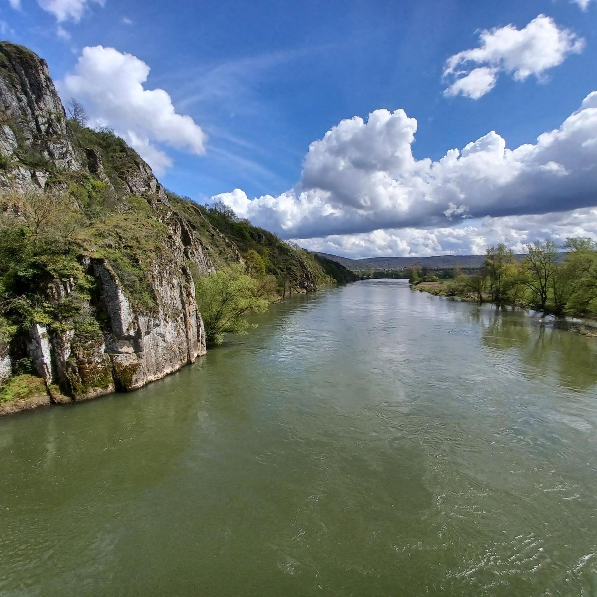
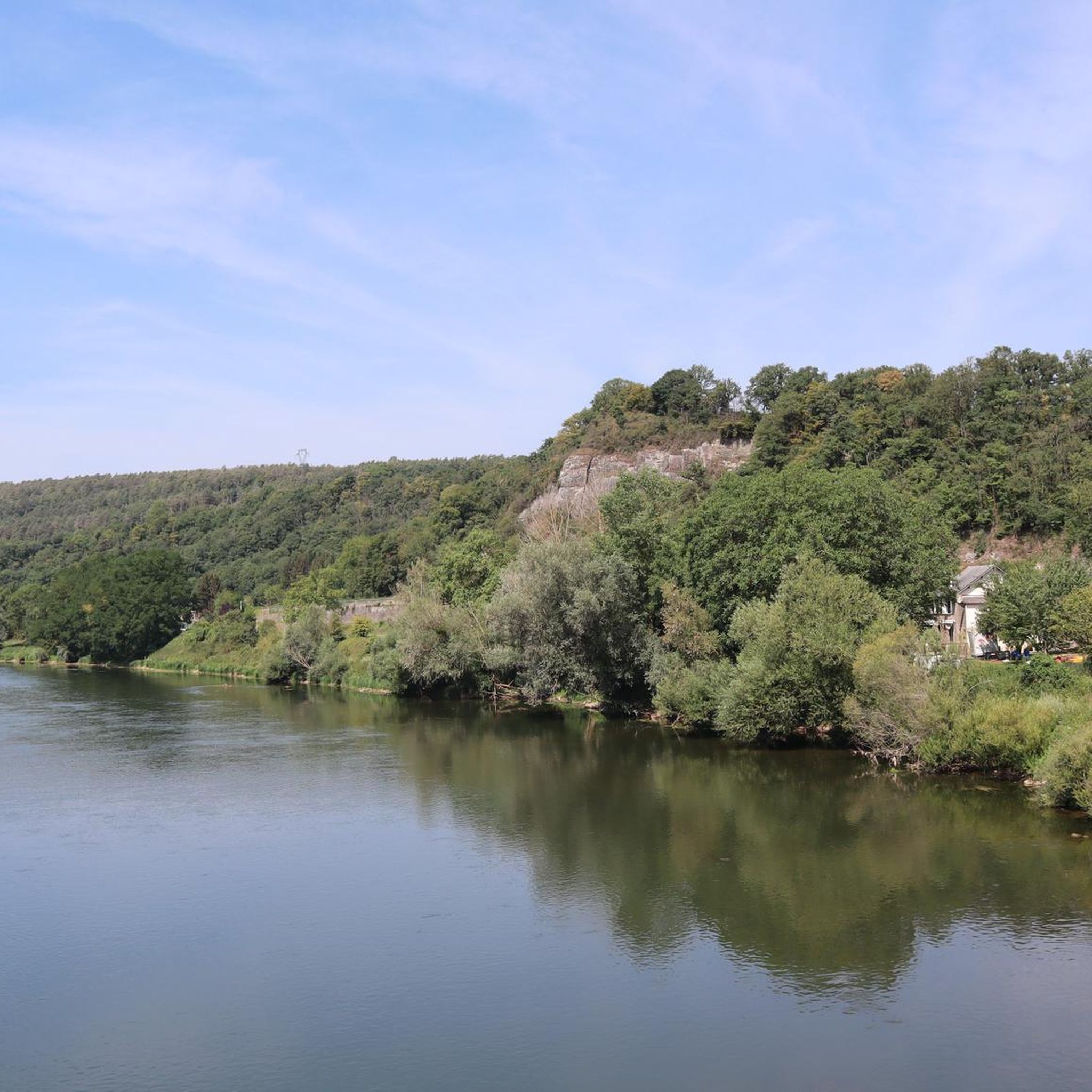
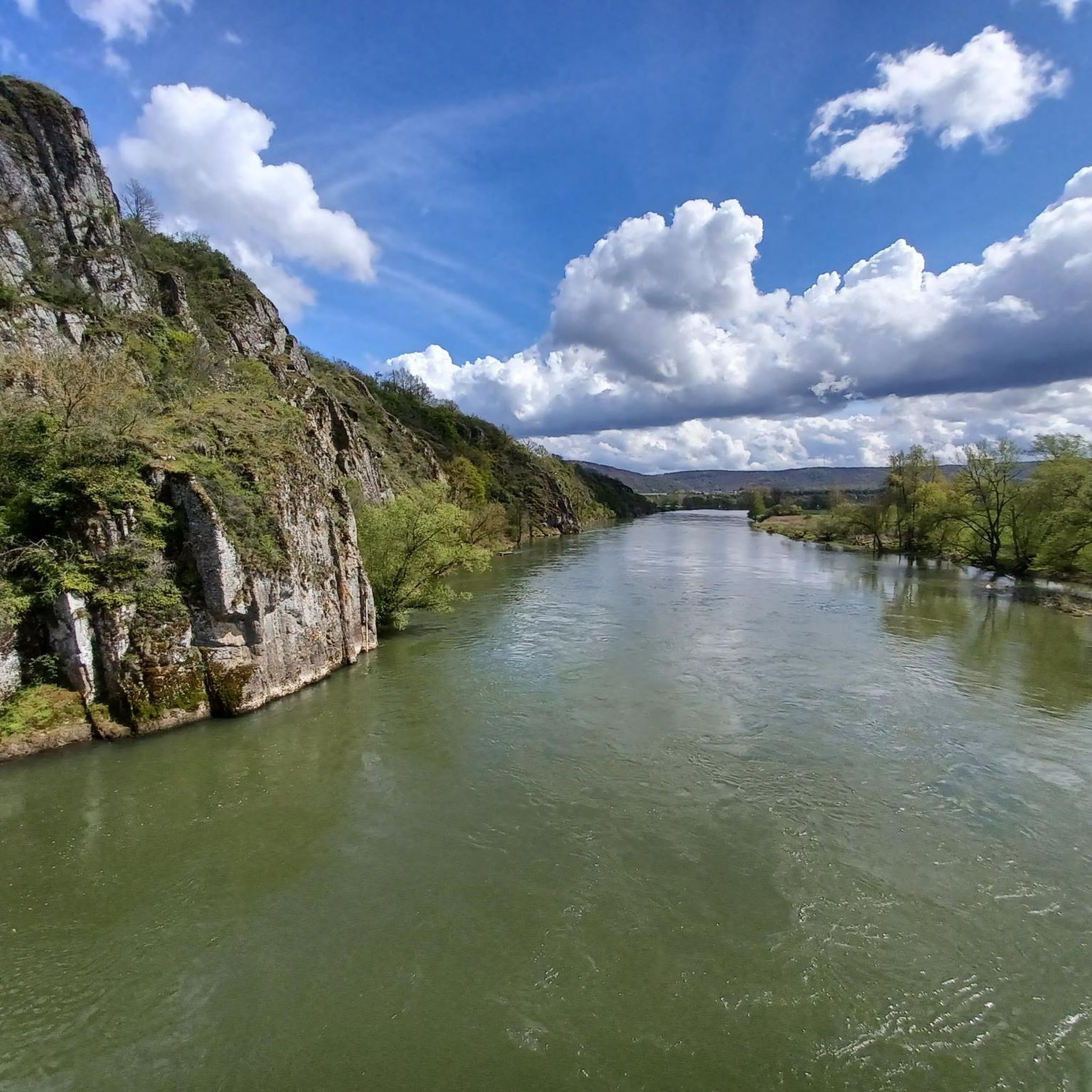
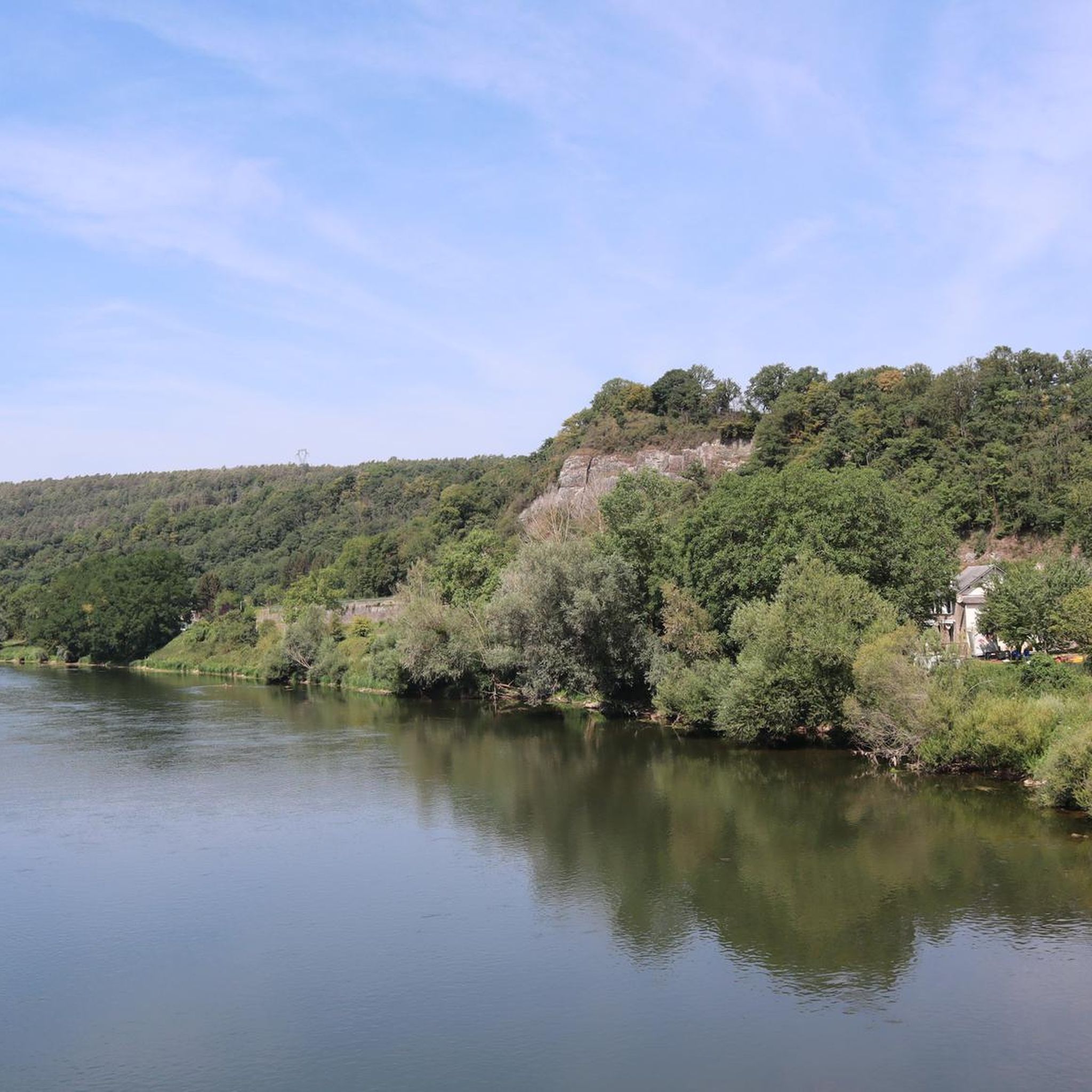
The region around Foisches, nestled within the Ardennes Regional Nature Park, features a multi-faceted landscape. You can expect to encounter hilly, forested areas, deep valleys, high plateaus, and spectacular rocky escarpments. The nearby Meuse valley also offers easier walking paths with picturesque views of the river.
Are there easy hiking options suitable for beginners or families in Foisches?
Yes, Foisches is very welcoming for beginners and families. Out of the over 440 available routes, more than 180 are classified as easy. These paths often follow the Meuse valley or rural paths connecting villages, providing gentle gradients and enjoyable scenery. For a moderate option that is still family-friendly, consider the View of Hierges Castle – Village of Hierges loop from Hierges, which is 3.0 miles long and takes about 1 hour 23 minutes.
What are some notable landmarks or attractions I can see while hiking around Foisches?
Hiking around Foisches offers access to several historical and natural landmarks. You can explore the historic Fort of Charlemont, with circuits around its walls offering breathtaking views. The Hierges Village itself is a charming destination, and routes like the Hierges Castle and Doische Loop from Vaucelles combine historical sites with natural scenery. The Meuse River also provides scenic views, and you might spot highlights like the View of Fort de Charlemont.
Are there any circular hiking routes available in Foisches?
Yes, many of the trails around Foisches are designed as circular routes, allowing you to start and end at the same point. For example, the Border Trail at Mazée – View of Hierges Castle loop from Hierges is a popular moderate circular path that explores the border region and offers views of Hierges Castle.
Is Foisches a good destination for dog-friendly hiking?
The natural environment of Foisches, with its extensive network of rural paths, forests, and open landscapes, is generally very suitable for hiking with dogs. The Ardennes Regional Nature Park, which encompasses Foisches, offers numerous trails where dogs are welcome, though it's always advisable to keep them on a leash, especially in nature reserves like the Pointe de Givet, to protect local wildlife.
What do other hikers say about the trails in Foisches?
The hiking trails in Foisches are highly regarded by the komoot community, holding an impressive average rating of 4.4 stars from over 2,100 reviews. Hikers frequently praise the diverse terrain, the blend of natural beauty with historical sites, and the well-maintained paths that cater to various skill levels.
What is the best time of year to go hiking in Foisches?
Foisches offers enjoyable hiking experiences throughout much of the year. Spring brings blooming wildflowers and lush greenery, while autumn showcases vibrant fall foliage across the forests. Summer provides warm weather for longer excursions, and even winter can be beautiful for crisp walks, especially along the Meuse valley paths, though some higher or more exposed trails might require more preparation.
Are there any challenging hikes for experienced trekkers?
Yes, Foisches also caters to more experienced hikers. There are 35 routes classified as difficult, featuring greater elevation changes and potentially more rugged terrain. An example is the Path With Scenic Views – Observation Tower loop from Doische, which is 11.5 km long with significant elevation gain, offering rewarding views.
Can I find cafes or other amenities near the hiking trails in Foisches?
Foisches itself is a peaceful commune with authentic rural architecture. While major amenities might be found in nearby larger towns, you can often find small local establishments in Foisches or neighboring villages like Landrichamps and Rancennes. For a wider selection of cafes and restaurants, consider visiting Givet, which is a short distance away and offers more services.
What natural features are prominent in the Foisches hiking area?
The Foisches hiking area is rich in natural features. It's part of the Pointe de Givet National Nature Reserve and the Ardennes Regional Nature Park, known for its diverse ecosystems. You'll encounter dense forests, open moors, dry grasslands, and dramatic rocky escarpments. The Meuse River carves deep valleys, and the region is home to unique plant species like the Royal Osmonde and various orchids, alongside diverse fauna.
Are there any viewpoints or panoramic vistas along the trails?
Absolutely. The Ardennes region is known for its stunning 'balconies' offering expansive views. Many trails, especially those around the Fort of Charlemont or leading to observation towers, provide excellent panoramic vistas of the Meuse valley and the surrounding hilly, forested landscapes. The Observation Tower – Village of Hierges loop from Hierges is a good option for seeking out elevated views.
Most popular attractions around Foisches

Get inspired with the komoot mobile app


Explore more
Browse the best Hikes in other regions.
