The best walks and hikes around Olley
3.9
(20)
148
hikers
20
hikes
Hiking around Olley offers a variety of trails with diverse distances and moderate elevation changes. The region features routes that traverse varied terrain, suitable for different hiking preferences. These paths provide opportunities to explore the local landscape, characterized by its undulating topography.
Best hiking trails around Olley
- The most popular hiking route is Pont de Ville sur Yron loop from Jarny, a 10.8 miles (17.4 km) trail that takes 4 hours 32 minutes to complete. This moderate route features…
Last updated: July 5, 2026
4.0
(3)
20
hikers
16.5km
04:19
120m
120m
Moderate hike. Good fitness required. Easily-accessible paths. Suitable for all skill levels.
4.0
(3)
17
hikers
12.9km
03:24
110m
110m
Moderate hike. Good fitness required. Easily-accessible paths. Suitable for all skill levels.

Sign up for free
8
hikers
10.1km
02:38
80m
80m
Moderate hike. Good fitness required. Easily-accessible paths. Suitable for all skill levels.
6
hikers
5.70km
01:29
40m
40m
Easy hike. Great for any fitness level. Easily-accessible paths. Suitable for all skill levels.
6
hikers
15.7km
04:01
60m
60m
Moderate hike. Good fitness required. Easily-accessible paths. Suitable for all skill levels.
Get access to more routes and recommendations from other explorers.
Sign up for free
Already have an account?
Our route recommendations are based on thousands of hikes, rides, and runs completed by other people on komoot.
Start today with a free account
Your next adventure awaits.
Login or Signup
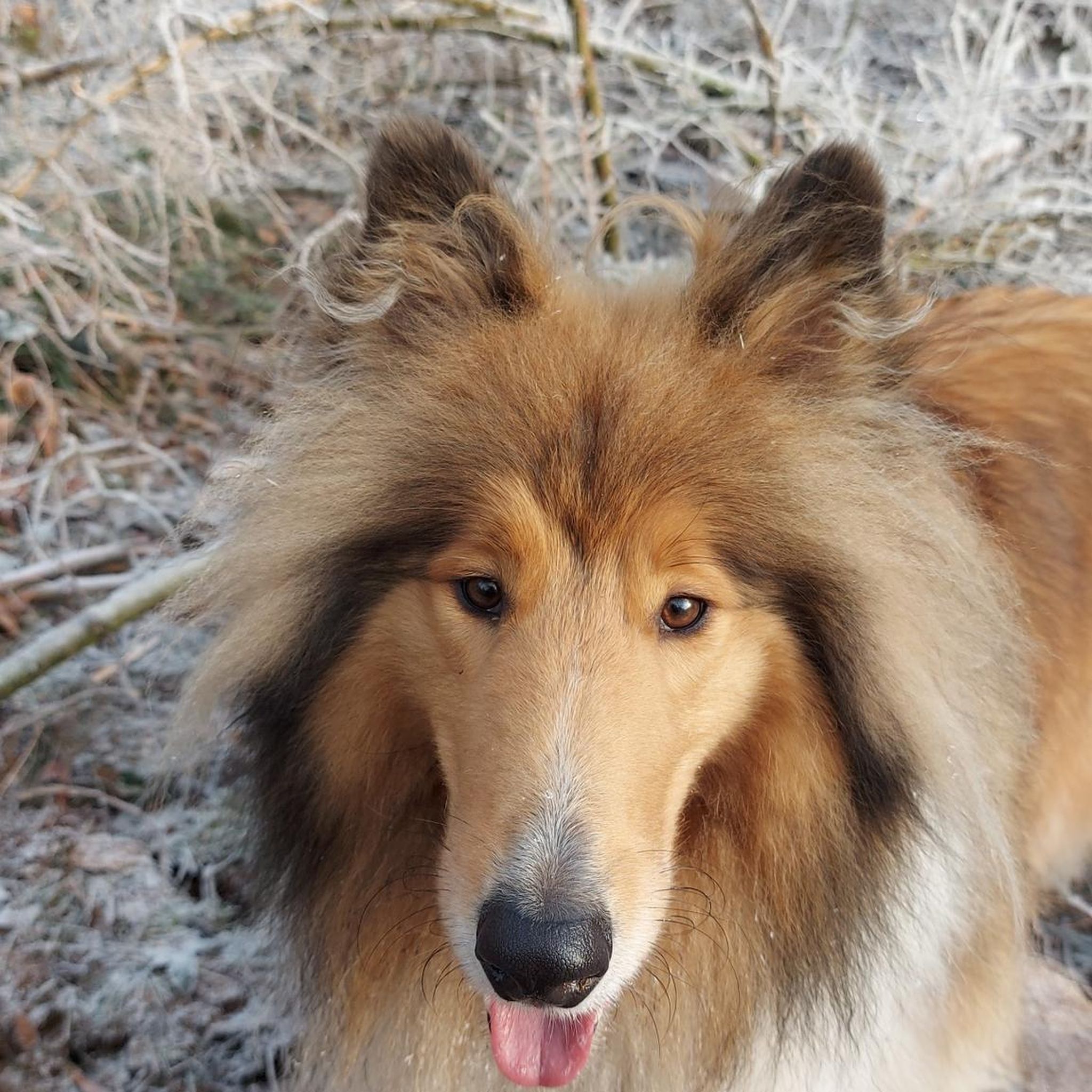
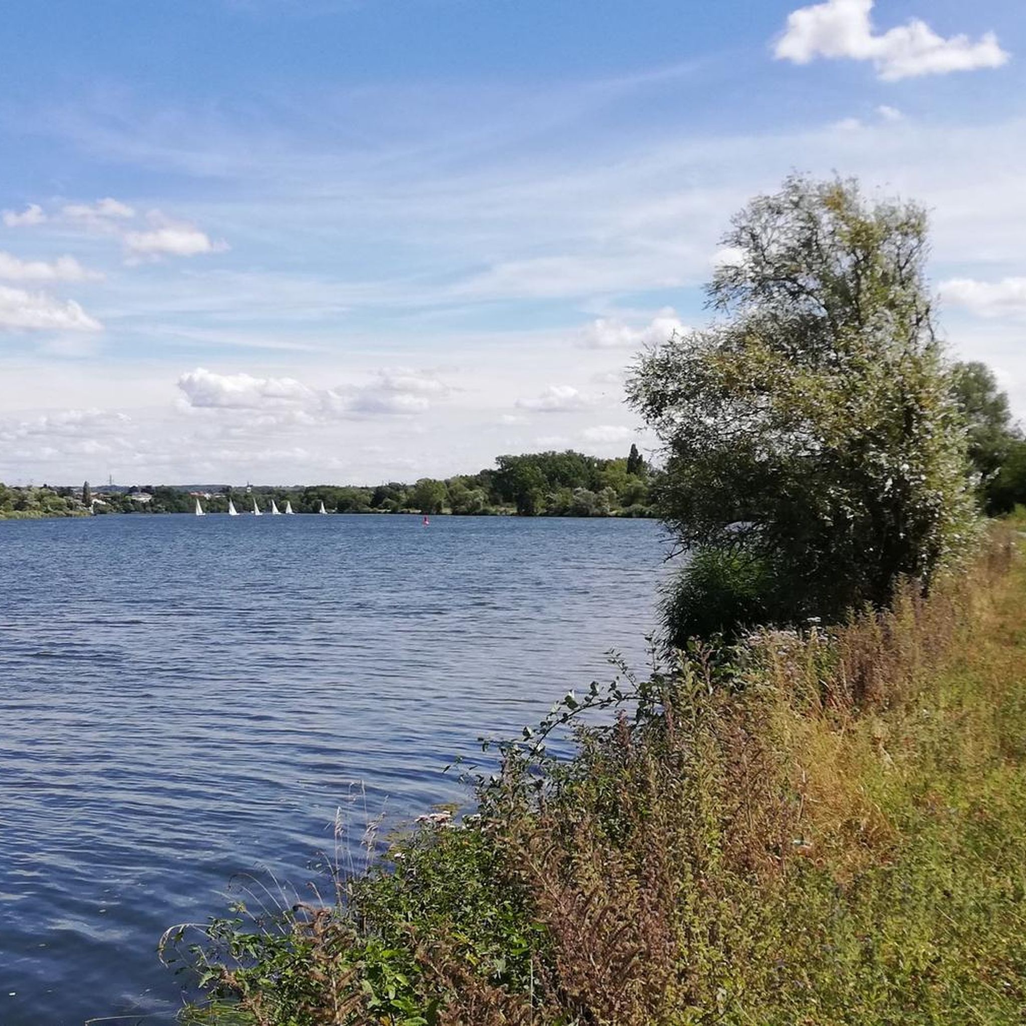
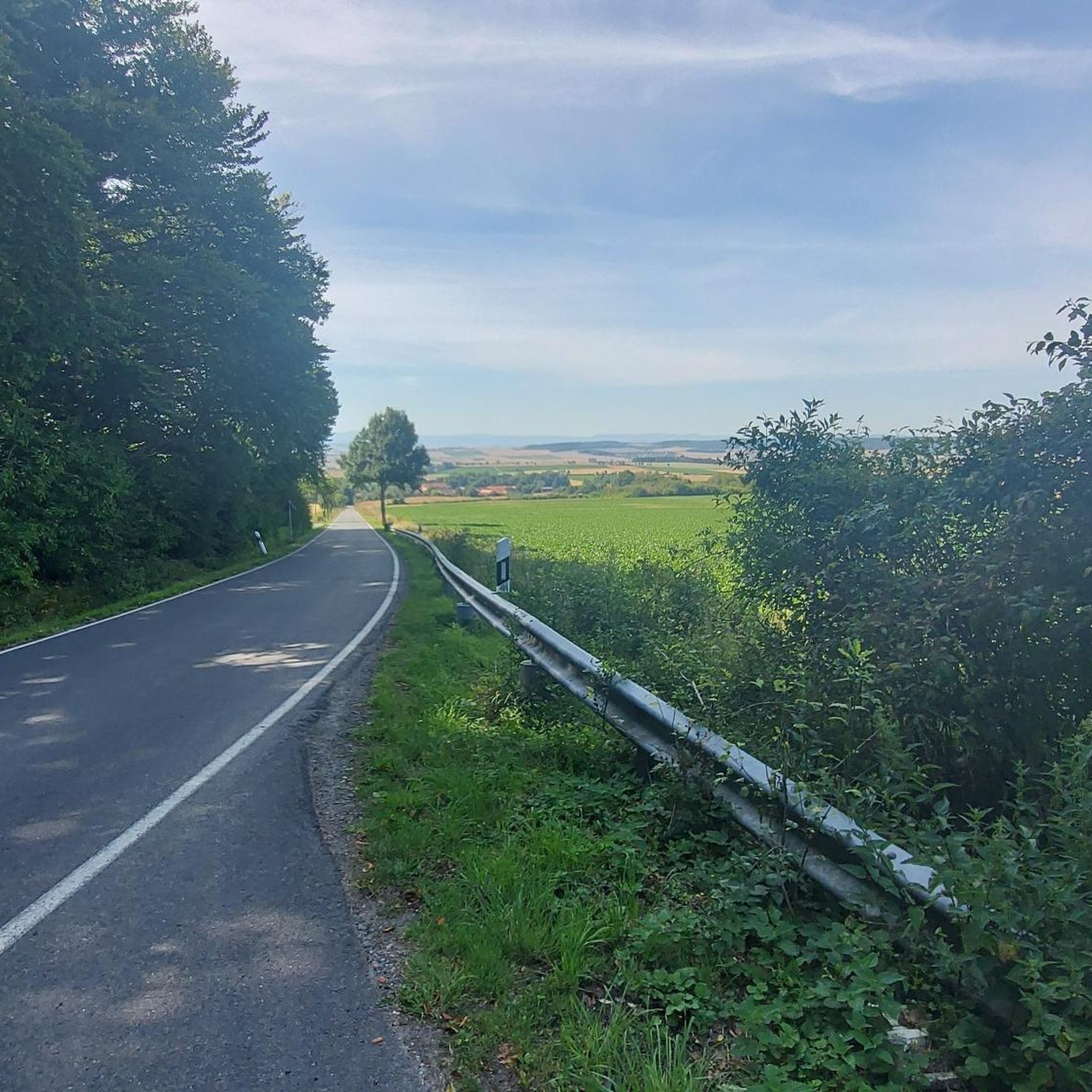


Tips from the Community

This site served as a German hospital during the First World War
0
0

A beautiful 10km hike to enjoy during your visit to Ville-sur-Yron... Three campervan spaces await you, with water and electricity... in our beautiful, quiet little village 🥰
0
0

Very pretty area, possibility of picnicking at the edge of the Yron, quiet village. The old town is pleasant to visit, with information panels on the few monuments.
0
0
Frequently Asked Questions
How many hiking trails are there in Olley?
There are over 20 hiking trails available around Olley, offering a variety of options for different preferences and skill levels. These include routes ranging from easy strolls to more challenging paths through the region's diverse landscapes.
Are there any easy hiking trails suitable for beginners in Olley?
Yes, Olley offers several easy hiking trails. Approximately 6 of the routes are classified as easy, making them ideal for beginners or those looking for a more relaxed walk. These paths typically feature gentle terrain and shorter distances.
What kind of landscapes can I expect to see while hiking in Olley?
Hiking in Olley will take you through a blend of mixed deciduous woodlands, rolling terrain, and forested hills. You can also find trails that follow lakeside paths and creek valleys, offering picturesque views and varied natural features.
Are there any circular walks available in Olley?
Yes, many of the trails in Olley are designed as circular routes, allowing you to start and end at the same point. For example, the Pont de Ville sur Yron loop from Jarny is a popular 10.8-mile circular trail, and the Haut de Mèche loop from Jarny offers a shorter 4.9-mile option.
What is the average duration for hikes in Olley?
The duration of hikes in Olley varies significantly depending on the trail's length and your pace. For instance, the Pont de Ville sur Yron loop from Ville-sur-Yron, an 8.0-mile moderate path, typically takes around 3 hours 23 minutes to complete. Shorter trails can be finished in about 2 hours.
What do other hikers enjoy most about hiking in Olley?
The hiking trails in Olley are highly rated by the komoot community, with an average score of 3.9 stars from over 18 reviews. Hikers often praise the varied terrain, accessible loop trails, and the opportunities to explore the local landscape's undulating topography.
Are there any specific attractions or landmarks I can hike to in the Olley area?
While hiking in the broader region around Olley, you might encounter notable features like Antietam Lake, which offers lakeside paths. The Mount Penn Preserve and the distinctive Reading Pagoda are also significant landmarks in the wider area, accessible via some longer routes.
Are the hiking trails in Olley suitable for families?
Yes, with a mix of easy and moderate paths, many trails in Olley are suitable for families. The easier routes, in particular, provide a great opportunity for families to enjoy the outdoors together without overly challenging terrain.
What is the typical elevation gain on Olley's hiking trails?
The trails around Olley feature moderate elevation changes. For example, the Château de Moncel loop from Conflans - Jarny, a 10.1-mile route, has an elevation gain of about 75 meters. Shorter trails like the Haut de Mèche loop from Jarny have even less, around 41 meters.
Are there any trails that pass by water features like lakes or creeks?
Yes, the region around Olley is characterized by natural water features. Some trails offer lakeside paths, particularly around Antietam Lake, and others follow creek valleys, providing scenic views and tranquil environments.
What is the longest moderate hike available in Olley?
One of the longest moderate hikes is the Pont de Ville sur Yron loop from Jarny, which spans 10.8 miles (17.4 km) and takes approximately 4 hours 32 minutes to complete. It features a total ascent of 127 meters.

Get inspired with the komoot mobile app


Explore more
Browse the best Hikes in other regions.
