The best running trails around Tournemire
4.6
(71)
2,154
runners
80
runs
Jogging routes around Tournemire traverse a landscape shaped by dramatic geological formations and diverse ecosystems. The region is characterized by the striking limestone rocks and grey marls of the Cirque de Tournemire, situated between the avant-causses and the vast Causse du Larzac. Runners can explore varied terrain, from the Doire river valley to the southern edge of the Cantal mountains, offering both challenging ascents and scenic paths. This blend of natural features provides a rich environment for outdoor physical activity.
…Last updated: June 29, 2026
21
runners
16.6km
02:25
690m
690m
Hard run. Very good fitness required. Mostly accessible paths. Some sure footedness required.
4.7
(3)
45
runners
8.49km
01:03
240m
240m
Moderate run. Good fitness required. Mostly paved surfaces. Suitable for all skill levels.

Sign up for free
24
runners
17.8km
02:07
470m
470m
Hard run. Very good fitness required. Mostly paved surfaces. Suitable for all skill levels.
14
runners
22.9km
03:14
960m
960m
Hard run. Very good fitness required. Sure-footedness, sturdy shoes and alpine experience required.
15
runners
11.6km
01:26
300m
300m
Hard run. Very good fitness required. Mostly paved surfaces. Suitable for all skill levels.
Get access to more routes and recommendations from other explorers.
Sign up for free
Already have an account?
Our route recommendations are based on thousands of hikes, rides, and runs completed by other people on komoot.
Start today with a free account
Your next adventure awaits.
Login or Signup
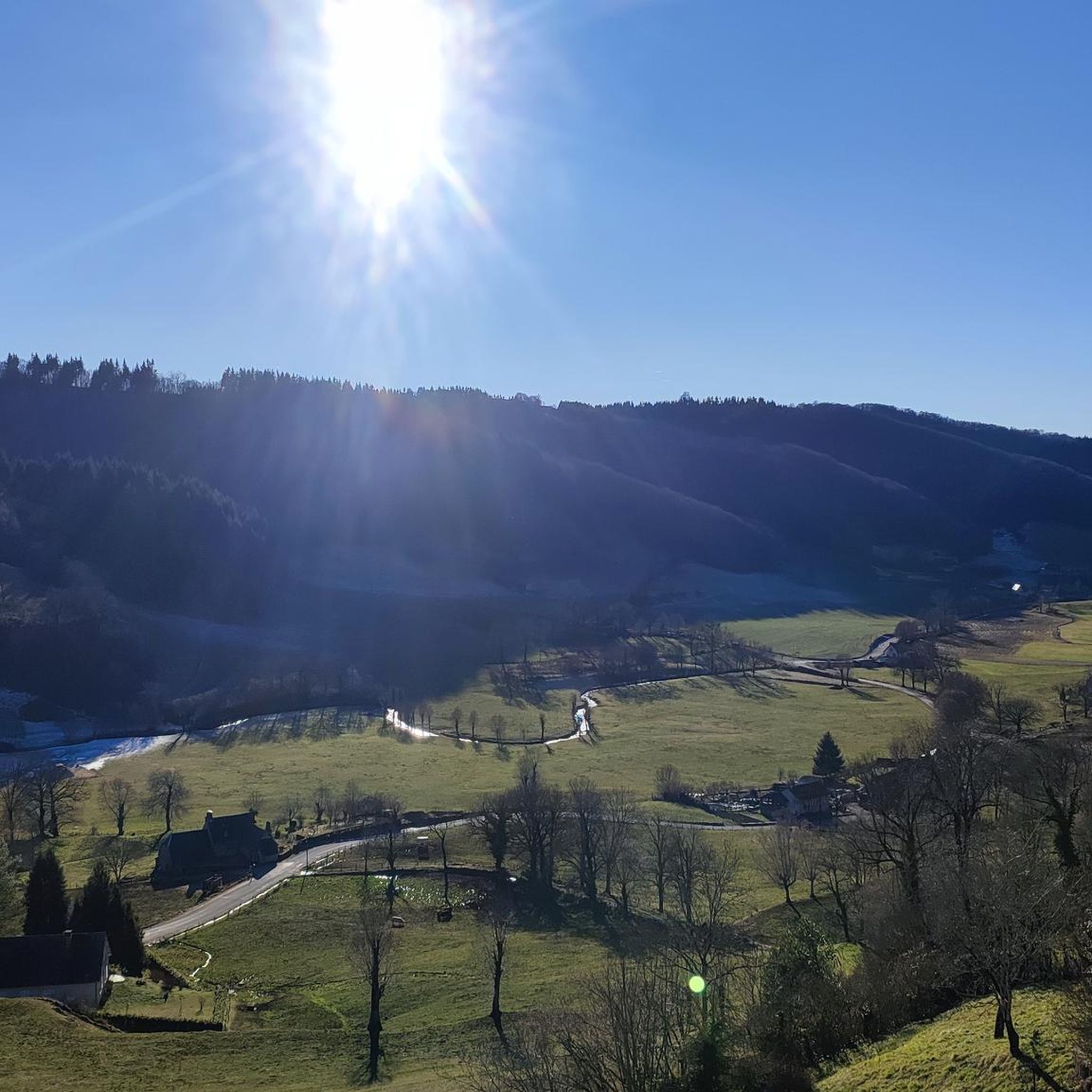
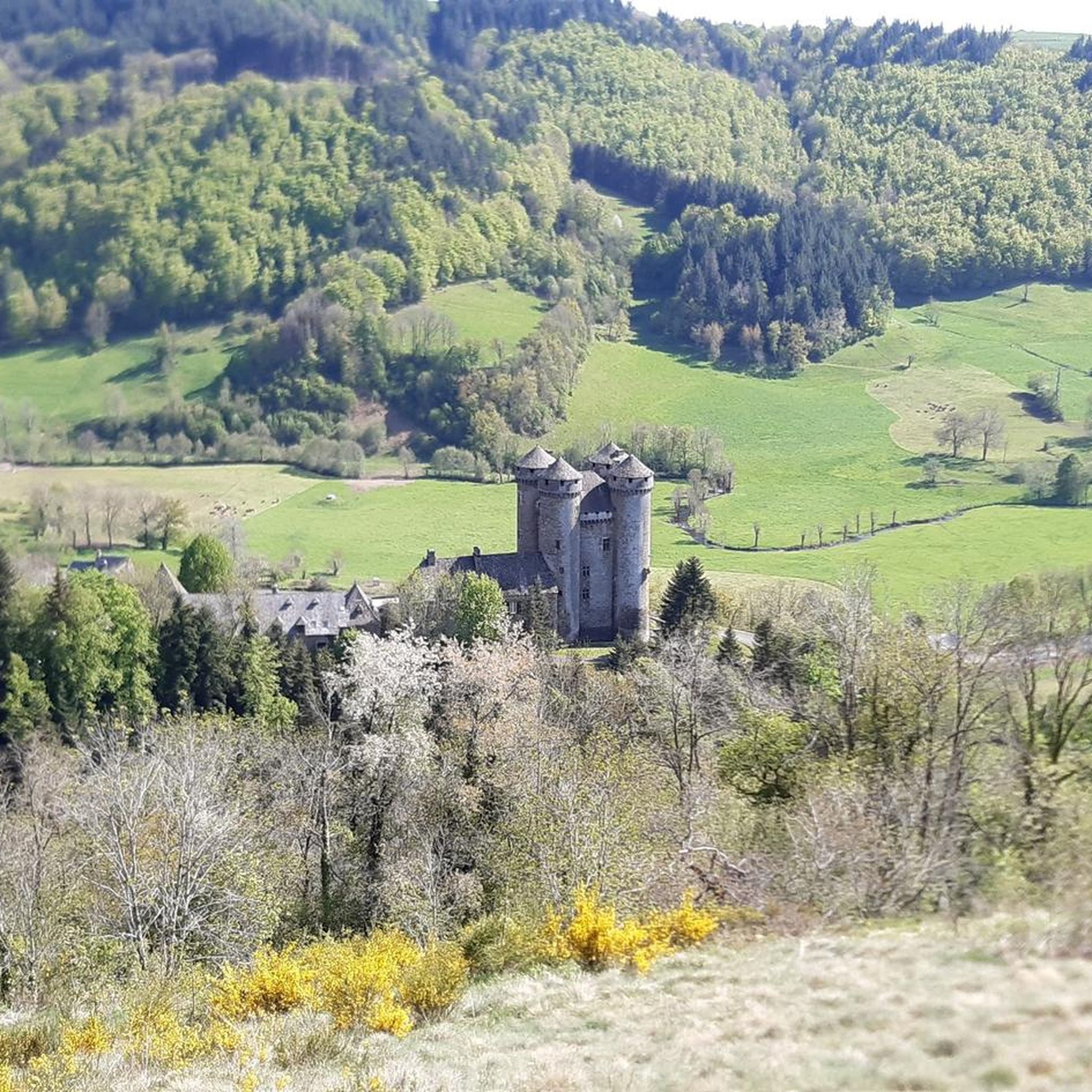
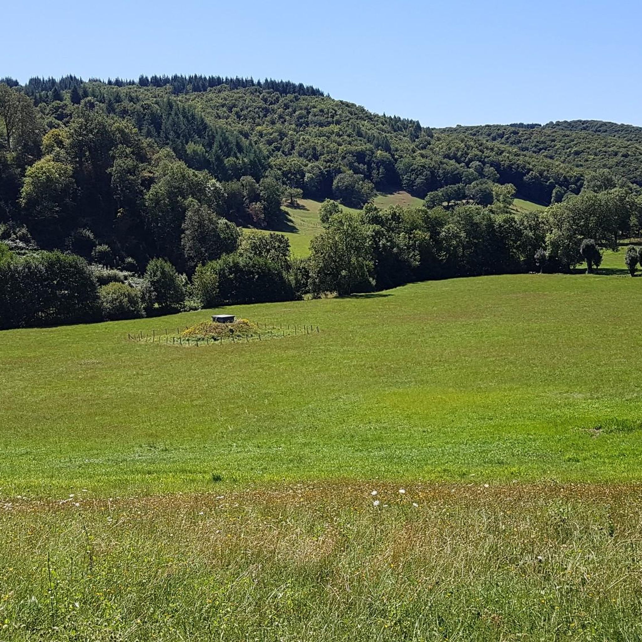
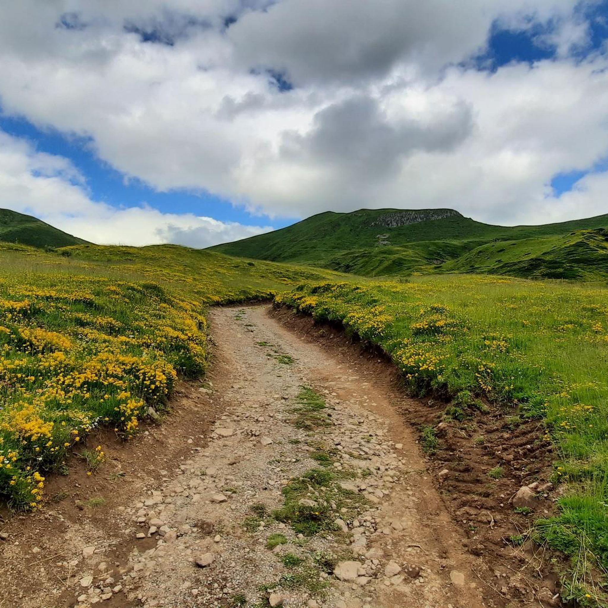
Tips from the Community

A magnificent site where the panoramas are breathtaking!!!
0
0

Small entrance fee (2024): Adult 4.00 EUR Child 1.50 EUR Set price group adults 3.50 EUR Set price group children 1.00 EUR
0
0

nice climb and good visibility over the valley
0
0

The Jordanne Valley is a lush green valley that was formed as a glacial valley of the Puy Mary. A path through the dense greenery runs through the Jordanne Gorge, stretching for more than 3 km between the communities of Saint-Julien and Saint-Cirgues. A path with small footbridges and bridges allows visitors to discover this beautiful place and takes them deep into the gorge. There is a fee to enter.
1
0

Located in the heart of the Jordanne valley, Lac des Graves displays an exceptional and preserved setting. It's an ideal place for a walk or nap by the water!
0
0

The cairn was originally nicknamed the nickname bonhomme due to its shape seen from afar. But since the man it is well deformed
0
0

The Redondet pass, between the Jordanne and Mars valleys (Falgoux circus), offers magnificent views of the latter.
0
0
Unlike the Burons, which also served as a living space for cowherds and cheese dairies, the Béledat du Cassaïre (at an altitude of 1600m on the GR400) was only used to shelter sick animals and the herd during bad weather. A buron located a few dozen meters away therefore fulfilled its function for the cowherd. Part of the pastoral heritage and dating from the 18th century, it has recently been restored.
0
0
Frequently Asked Questions
How many running routes are available around Tournemire?
There are over 80 dedicated jogging routes around Tournemire, offering a wide variety of terrains and distances for all fitness levels. These include 5 easy routes, 42 moderate paths, and 33 more challenging trails.
What kind of terrain can I expect on the jogging trails in Tournemire?
The jogging routes in Tournemire are characterized by diverse terrain, ranging from the dramatic limestone rocks and grey marls of the Cirque de Tournemire and Cirque du Brias to paths along the Doire river valley and the foothills of the Cantal mountains. You'll encounter varied relief, offering both challenging ascents and scenic, flatter sections.
Are there any easy or beginner-friendly jogging routes in the area?
Yes, Tournemire offers 5 easy jogging routes suitable for beginners or those looking for a more relaxed run. These trails typically feature less elevation gain and smoother paths, allowing you to enjoy the scenery without excessive challenge.
What do other runners enjoy most about jogging in Tournemire?
The running routes in Tournemire are highly rated by the komoot community, with an average score of 4.6 stars from over 50 reviews. Runners often praise the majestic natural settings, the diverse landscapes, and the opportunity for mental rejuvenation amidst fresh, clean air.
Can I find circular running routes around Tournemire?
Yes, many of the running routes in Tournemire are designed as loops, allowing you to start and finish at the same point. For example, the Lake des Graves loop from Lascelle is a moderate 5.3-mile path that provides a scenic circular run around the lake.
Are there any specific landmarks or scenic views to look out for while running?
Absolutely! The region is rich in natural beauty and historical sites. You can enjoy breathtaking views of the Cirque de Tournemire, explore the picturesque village itself, or discover natural caves in the cliffs. For stunning panoramic views, consider routes that pass near the Col de Légal or the Jordanne gorges. The village also offers picturesque viewpoints across the steep valley below.
Are there any dog-friendly running trails in Tournemire?
While specific regulations for dogs on every trail can vary, the natural environment of Tournemire, including the vast Cirque de Tournemire and the surrounding areas, generally welcomes dogs. It's always recommended to keep your dog on a leash, especially in areas with wildlife or near livestock, and to clean up after them. Many of the less crowded trails are suitable for running with a canine companion.
What is the best time of year to go jogging in Tournemire?
Tournemire offers attractive jogging conditions through much of the year. Spring and autumn provide pleasant temperatures and vibrant scenery. Summer is also popular, especially in the mornings or late afternoons to avoid the midday heat. The diverse terrain means you can find suitable routes even in cooler months, though some higher elevation paths might be affected by snow in winter.
Are there any running routes that pass by lakes or rivers?
Yes, several routes incorporate water features. For instance, the Jordanne gorges – Lake des Graves loop from Lascelle is a popular option that leads through gorges and past the scenic Lake des Graves, offering refreshing views during your run.
Where can I find parking for the jogging routes in Tournemire?
Parking is generally available in and around the village of Tournemire, as well as at common starting points for trails. Specific routes, especially those connecting to other villages or natural sites like the Cirque de Tournemire, often have designated parking areas. It's advisable to check the route details on komoot for specific parking recommendations for your chosen trail.
Are there any longer, more challenging running routes for experienced runners?
Yes, for experienced runners seeking a challenge, Tournemire offers several difficult routes. The Col de Légal to Puy Chavaroche Trail is a demanding 10.3-mile route with significant elevation changes, providing stunning views across the Cantal mountains. Another option is the Montagne d'Entre-Deux Rieux loop from Marmanhac, a 17.6 km difficult trail.
Can I reach the running trails using public transport?
While Tournemire is a charming village, public transport options directly to every trailhead might be limited. However, the village itself is accessible, and some trails, such as the historic trail leading from Tournemire-Roquefort station to Roquefort, are designed with public transport access in mind. For routes further afield, a car might be necessary to reach the starting points.
Most popular attractions around Tournemire

Get inspired with the komoot mobile app


Explore more
Browse the best Running Trails & Routes in other regions.
