The best walks and hikes around Girgols
4.5
(665)
5,831
hikers
148
hikes
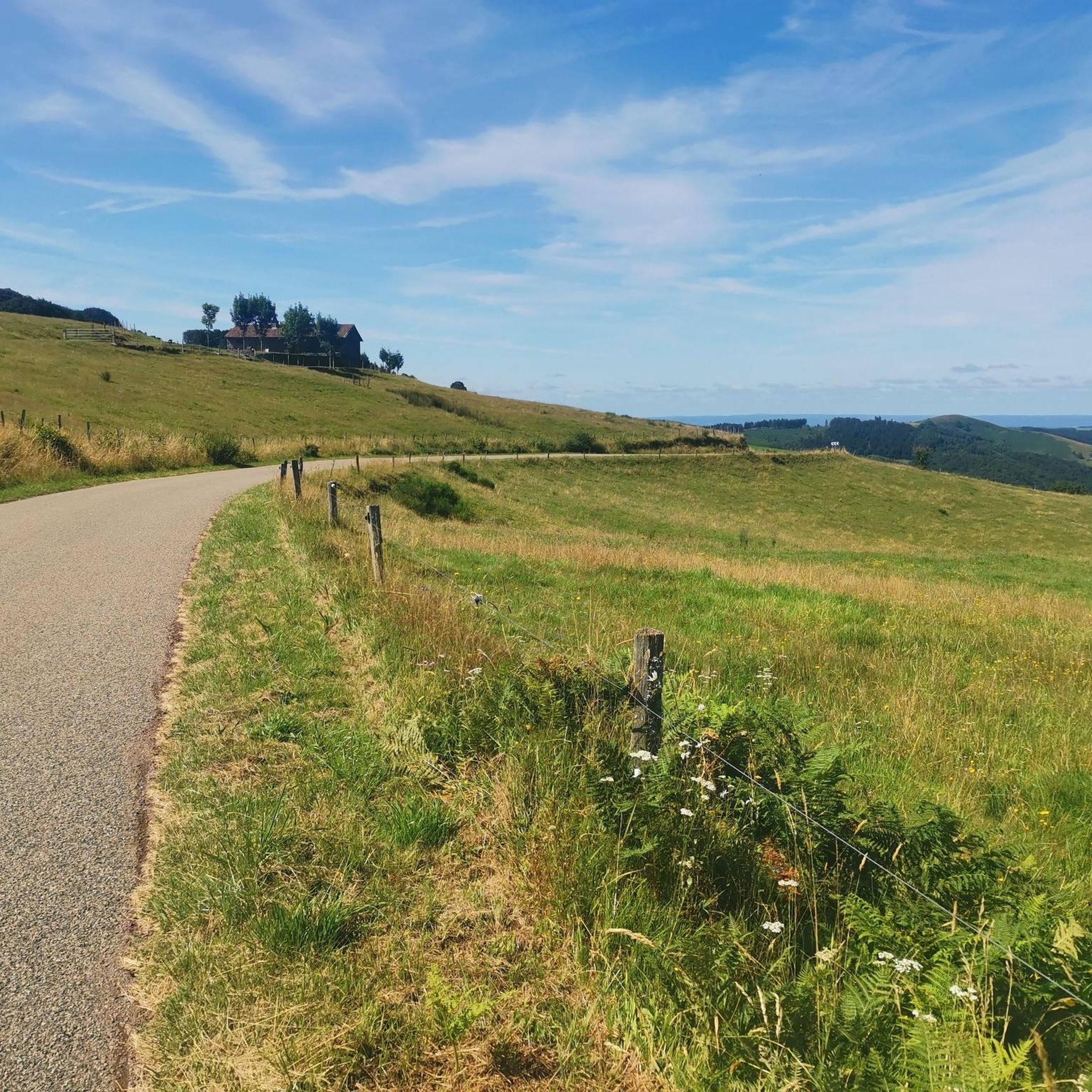
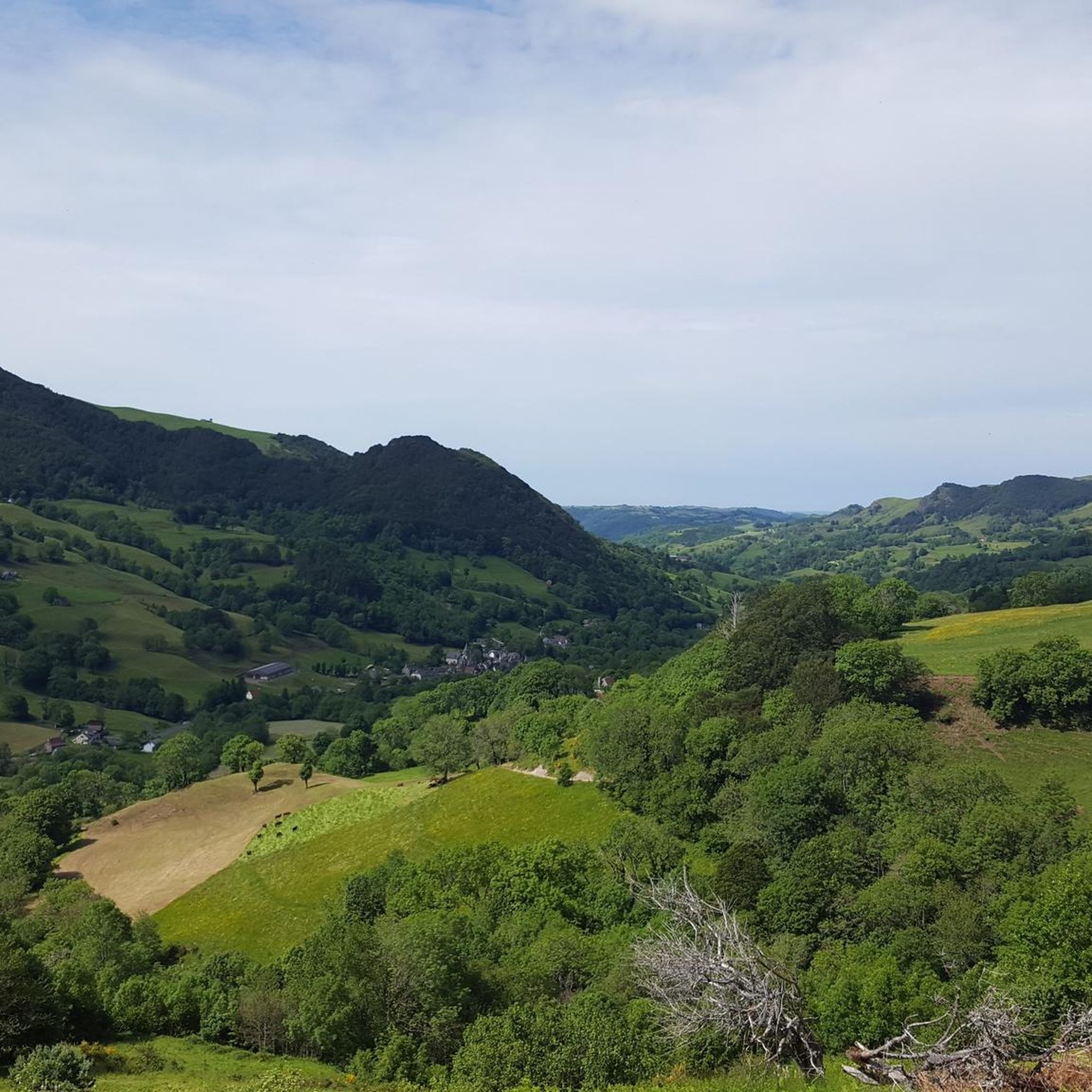
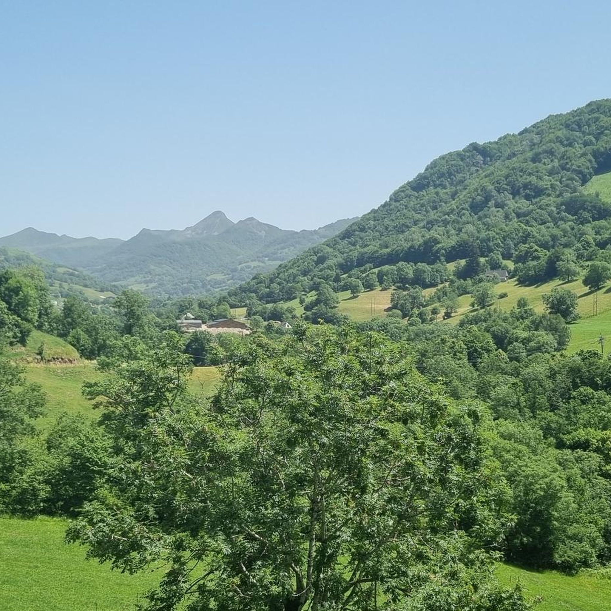
Hiking around Girgols offers diverse landscapes in the Cantal department of south-central France. The region features extensive woods, lush meadows, and high mountain pastures, irrigated by streams like the Doire river. Hikers can explore preserved forests, high-altitude plateaus, and mountain peaks, including views towards the Volcans d'Auvergne. The area also includes natural sites like Col de Légal and the Gorges de la Jordanne.
Best hiking trails around Girgols
- The most popular hiking route is Puy Chavaroche Loop from Col de Légal, a 10.3 miles (16.6 km) trail that takes 5 hours 20 minutes to complete. This difficult route offers significant elevation gain and panoramic views.
- Another top favourite among local hikers is Col de Légal – Refuge de Cabrespine loop from Col de Légal, a difficult 11.9 miles (19.2 km) path. This challenging trail leads through high mountain pastures and offers expansive scenery.
- Local hikers also love the Church – View from Soulage loop from Girgols, a 7.7 miles (12.4 km) trail leading through the local countryside and hamlets, often completed in about 3 hours 50 minutes.
- Hiking around Girgols is defined by extensive woods, lush meadows, and mountain peaks, with routes offering views of volcanic landscapes. The network provides options for various ability levels, from moderate walks to difficult, multi-hour treks.
- The routes in Girgols are highly rated by the komoot community with an average score of 4.5 stars from over 500 reviews. More than 5000 hikers have used komoot to explore Girgols's varied terrain.
Last updated: June 29, 2026
4.6
(10)
55
hikers
16.6km
05:21
700m
700m
Hard hike. Very good fitness required. Mostly accessible paths. Sure-footedness required.
4.7
(7)
128
hikers
19.2km
07:02
950m
950m
Hard hike. Very good fitness required. Sure-footedness, sturdy shoes and alpine experience required.

Sign up for free
4.9
(9)
75
hikers
10.7km
03:49
460m
460m
Moderate hike. Good fitness required. Mostly accessible paths. Sure-footedness required.
4.6
(5)
28
hikers
11.5km
03:36
440m
440m
Moderate hike. Good fitness required. Easily-accessible paths. Suitable for all skill levels.
4.0
(2)
18
hikers
22.9km
08:48
1,100m
1,100m
Hard hike. Very good fitness required. Sure-footedness, sturdy shoes and alpine experience required.
Get access to more routes and recommendations from other explorers.
Sign up for free
Already have an account?
Our route recommendations are based on thousands of hikes, rides, and runs completed by other people on komoot.
Start today with a free account
Your next adventure awaits.
Login or Signup
Tips from the Community


A magnificent site where the panoramas are breathtaking!!!
0
0

Rain, visibility 1m, but otherwise great
0
0
Frequently Asked Questions
How many hiking trails are available around Girgols?
There are over 130 hiking routes around Girgols, offering a wide range of experiences. These trails are highly rated by the komoot community, with an average score of 4.5 stars from over 580 reviews.
What types of landscapes can I expect to see while hiking in Girgols?
Girgols offers diverse landscapes, including extensive woods, lush meadows, and high mountain pastures. You'll find preserved forests, high-altitude plateaus, and mountain peaks, often providing panoramic views towards the Volcans d'Auvergne. Streams like the Doire river also add to the picturesque scenery.
Are there any easy or family-friendly hiking routes in Girgols?
Yes, Girgols has options for easier walks. There are 25 easy routes and 58 moderate routes suitable for families or those looking for a less strenuous experience. For example, the Church – View from Soulage loop from Girgols is a moderate 12.4 km trail that takes about 3 hours 50 minutes, leading through local countryside and hamlets.
What are some interesting places to explore near the hiking trails?
Beyond the trails, you can explore several notable attractions. The Puy Mary Summit offers breathtaking views, and the historic village of Salers is a charming medieval site. You can also discover various mountain passes like Pas de Peyrol Pass (1,589 m) or Pertus Pass, which are popular attractions in the region.
Are there circular walking routes available in Girgols?
Many of the trails in Girgols are designed as loops, allowing you to start and end at the same point. An example of a challenging circular route is the Puy Chavaroche – Puy Mary Summit loop from Le Fau, which is 22.8 km long with over 1000m of elevation gain.
What is the best season for hiking in Girgols?
The region's extensive woods, lush meadows, and high mountain pastures suggest that late spring, summer, and early autumn are ideal for hiking, offering pleasant temperatures and vibrant scenery. Winter hiking is possible but may require specific gear due to snow and colder conditions, especially at higher elevations.
Can I bring my dog on the hiking trails in Girgols?
Generally, dogs are welcome on many hiking trails in the Cantal region, but it's always best to keep them on a leash, especially in areas with livestock or protected wildlife. Always check local signage for specific restrictions on individual routes or in nature reserves.
What should I bring for a hike in Girgols?
Given the varied terrain, including mountain peaks and high-altitude plateaus, it's advisable to bring appropriate hiking footwear, layers of clothing for changing weather, water, snacks, and sun protection. For more challenging routes, a map or GPS device is recommended.
Are there trails with good viewpoints in Girgols?
Yes, many trails in Girgols offer excellent viewpoints. The region is known for its mountain peaks and passes, providing panoramic vistas. For instance, the Puy Chavaroche Loop from Col de Légal is a difficult route that rewards hikers with significant elevation gain and expansive panoramic views.
What do other hikers enjoy most about the trails in Girgols?
The trails in Girgols are highly rated by the komoot community, with an average score of 4.5 stars. Hikers frequently praise the diverse landscapes, from extensive woods and lush meadows to challenging mountain terrain, and the stunning views of the Volcans d'Auvergne.
Are there any less crowded hiking trails in Girgols?
While some popular routes can see more traffic, the extensive network of over 130 trails means you can often find quieter paths. Exploring some of the moderate or less-known loops through the local countryside and hamlets, away from the major mountain peaks, can offer a more serene experience.
Is public transport available to reach trailheads in Girgols?
Girgols is a rural commune, and public transport options directly to specific trailheads might be limited. It's generally recommended to have a car for flexibility when accessing various starting points for hikes in the region. Always check local transport schedules if relying on public services.
Most popular attractions around Girgols

Get inspired with the komoot mobile app


Explore more
Browse the best Hikes in other regions.
