The best walks and hikes around Malvezie
4.5
(312)
2,283
hikers
92
hikes
Hiking around Malvezie, located in the Haute-Garonne department of Occitania, France, offers diverse landscapes for outdoor activities. The region features varied terrain, from accessible forest paths to challenging mountain ascents. Hikers can explore verdant forests, encounter significant mountain peaks, and discover natural attractions like lakes and cliff formations.
Best hiking trails around Malvezie
- The most popular hiking route is Pic Saillant – From the Cabane de Gar loop from Moncaup, a 7.7 miles (12.5 km) trail that takes 5…
Last updated: July 2, 2026
5.0
(4)
28
hikers
12.5km
05:32
940m
940m
Hard hike. Very good fitness required. Sure-footedness, sturdy shoes and alpine experience required.
5.0
(5)
35
hikers
14.4km
06:25
1,180m
1,180m
Hard hike. Very good fitness required. Sure-footedness, sturdy shoes and alpine experience required.

Sign up for free
4.3
(7)
23
hikers
Easy hike. Great for any fitness level. Easily-accessible paths. Suitable for all skill levels.
4.0
(2)
35
hikers
9.04km
02:59
430m
430m
Moderate hike. Good fitness required. Easily-accessible paths. Suitable for all skill levels.
4.3
(4)
22
hikers
9.17km
02:50
310m
310m
Moderate hike. Good fitness required. Easily-accessible paths. Suitable for all skill levels.
Get access to more routes and recommendations from other explorers.
Sign up for free
Already have an account?
Our route recommendations are based on thousands of hikes, rides, and runs completed by other people on komoot.
Start today with a free account
Your next adventure awaits.
Login or Signup


Tips from the Community

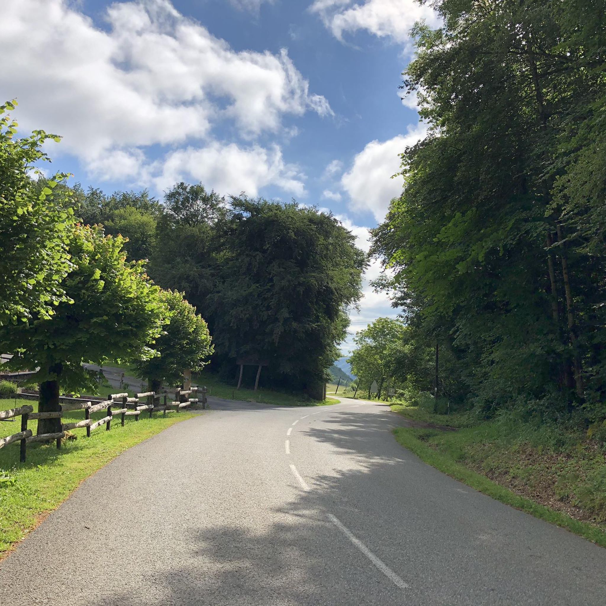
A beautiful transitional port between the Le Ger river valley and the Garonne river valley
0
0

Well done family!!! You are pros!!! It's in the genes. Kisses to all
0
0
Very beautiful natural lake with picnic tables.
0
0

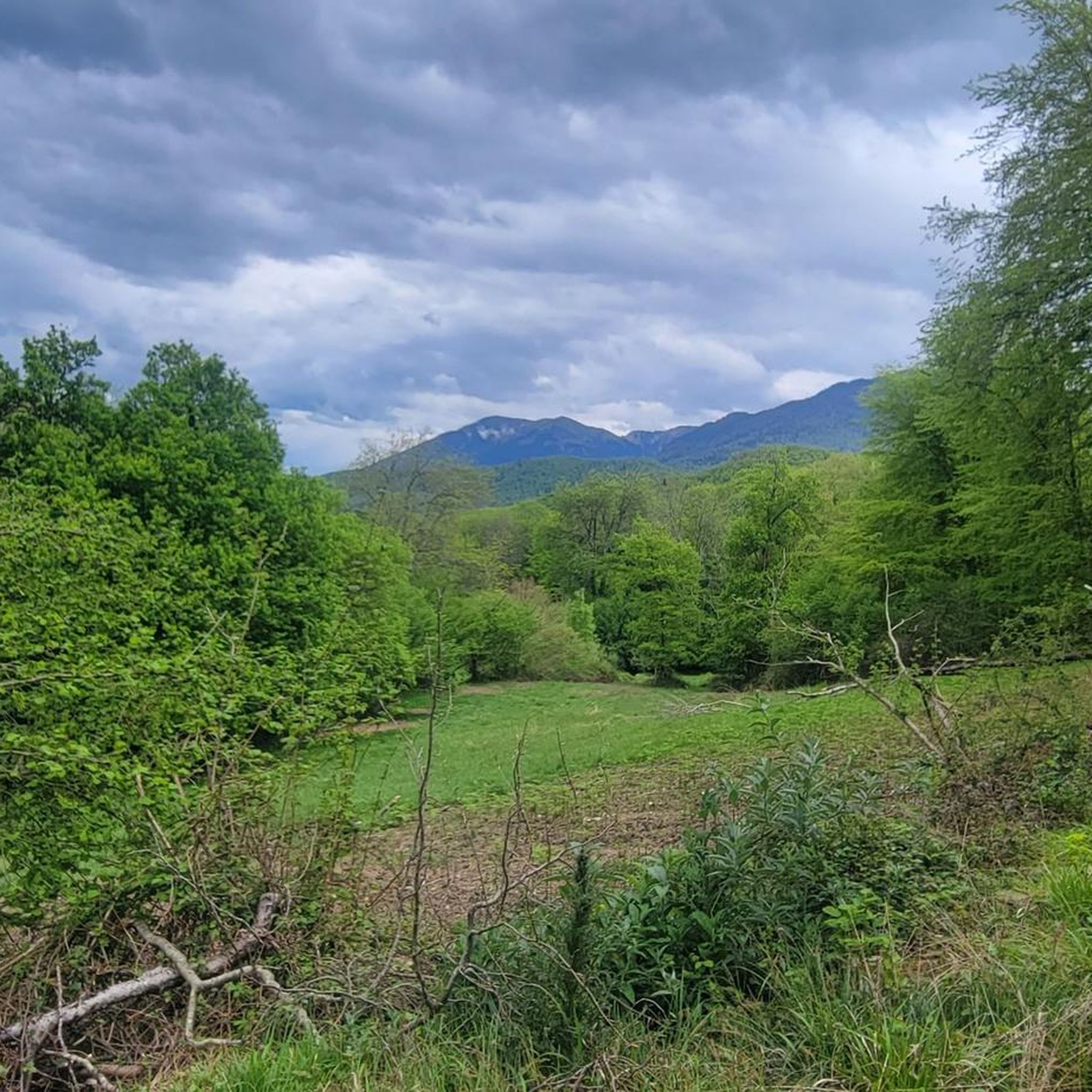
This is essentially a 14km clockwise loop. The ascent to the peaks is pretty well marked out although I’d always suggest downloading an offline route map. It’s not particularly technical just some simple clambering over a few steep rocky sections before the 1st col (Teyech). I wouldn’t fancy that rocky section if it’s frozen mind you. After the 2 stunning peaks the rest of the loop is a few kms along the ridge before turning down back through the forest. If it’s snowy, you’ll very easily lose the path (i did a lot) so another good reason to download the route.
0
0

This pretty little lake in the Pyrenean foothills bears the name of the eponymous town which adjoins it. It is located on the heights of the Garonne, not far from its confluence with the Pique.
0
0

Magnificent view for the climb to the pass from Artichan-de-Frontignes, however I found the climb on the other side (from the Col de Buret) more interesting because it was a little longer.
0
0

It is good to walk at the foot of the cliffs and go around the lake on foot. For experienced climbers, there are ways to take on some serious climbing challenges...
1
0

Frequently Asked Questions
What kind of hiking trails can I find around Malvezie?
Malvezie offers a diverse range of hiking experiences, from easy strolls through peaceful forests to challenging mountain ascents. You'll find nearly 100 routes, including 37 easy, 43 moderate, and 15 difficult trails, catering to various fitness levels. The terrain includes verdant forests, significant mountain peaks, and natural attractions like lakes and cliff formations.
Are there any easy, family-friendly hiking options in Malvezie?
Yes, Malvezie has 37 easy trails suitable for families. An example is the "Autour de Malvezie" trail, an easy hike through wild and green nature, traversing boxwood forests and passing by typical barns. Another option is the Saint-Pierre Church of Sarp – Lake Saint-Pé-d'Ardet loop from Saint-Pé-d'Ardet, which is just over 5 km and features minimal elevation gain.
What are the more challenging hikes available in the Malvezie area?
For experienced hikers, Malvezie offers 15 difficult trails with substantial elevation gains. Notable challenging routes include the Pic Saillant – From the Cabane de Gar loop from Moncaup, which is 12.5 km with over 930 meters of ascent, and the Gar Peak – Pic Saillant loop from Moncaup, spanning 14.4 km with over 1,180 meters of elevation, offering expansive mountain views.
Are there any circular hiking routes around Malvezie?
Many trails in Malvezie are designed as loops, allowing you to start and end in the same location. For instance, the Lake Saint-Pé-d'Ardet – Cliffs of Saint-Pé-d'Ardet loop from Malvezie is a moderate 9.3 km circular route that showcases diverse scenery including a lake and cliff formations.
What natural features or landmarks can I expect to see on hikes in Malvezie?
Hiking around Malvezie offers a variety of natural and historical sights. You can explore dense forests, encounter significant mountain peaks like Gar Peak and Pic de Cagire, and discover beautiful lakes and cliff formations such as those found on the Lake Saint-Pé-d'Ardet loop. The region also features several mountain passes like Menté Pass and Col des Ares, providing breathtaking vistas.
What do other hikers say about the trails in Malvezie?
The hiking trails in Malvezie are highly regarded by the komoot community, with an average rating of 4.4 stars from over 280 reviews. More than 2,100 hikers have explored the varied terrain, often praising the diverse landscapes, from peaceful forests to challenging mountain paths, and the well-maintained routes.
Is Malvezie a good destination for outdoor activities beyond hiking?
Absolutely. Beyond hiking, Malvezie is a hub for various adventure sports. You can enjoy canyoning descents through limestone massifs, rafting on the Garonne River, and climbing routes with varied difficulty levels. The area also provides opportunities for tree climbing and adventure courses in the forest, making it a comprehensive outdoor destination.
Are there any historical elements to discover on the trails?
Yes, some trails around Malvezie offer glimpses into the region's heritage. For example, the "Autour de Malvezie" trail features old barns and an ancient sarcophagus used as a watering trough, adding a historical dimension to the natural experience.
What is the best time of year to go hiking in Malvezie?
While specific seasonal details aren't provided, the diverse terrain of Malvezie suggests that spring and autumn would be ideal for comfortable hiking temperatures and vibrant scenery. Summer offers longer daylight hours for higher mountain routes, while winter might present opportunities for snowshoeing on higher elevations, depending on conditions.
Are there options for public transport to access hiking trails in Malvezie?
The provided information does not detail specific public transport links to trailheads in Malvezie. It is generally recommended to check local transport schedules or consider personal vehicle access for the most flexibility when planning your hikes in this region.
Are there any specific permits required for hiking certain trails in Malvezie?
There is no mention of specific permits being required for general hiking trails in the Malvezie area. However, for certain protected areas or specific activities like canyoning or climbing, it's always advisable to check with local authorities or guide services for any necessary permissions or regulations.
Most popular attractions around Malvezie

Get inspired with the komoot mobile app


Explore more
Browse the best Hikes in other regions.
