The best walks and hikes around Provenchère
4.3
(120)
468
hikers
36
hikes
Hiking around Provenchère offers diverse landscapes within the Vosges region of France, characterized by picturesque ridgelines and varied terrain. The area serves as a gateway to the Bruche valley, providing a mix of natural features suitable for outdoor activities. Hikers can explore paths that include children's rock formations and fruit tree paths, contributing to a varied experience. This region provides a range of trails across different difficulty levels.
Best hiking trails around Provenchère
- The most popular hiking route is Village…
Last updated: October 9, 2026
5.0
(4)
30
hikers
11.3km
03:10
230m
230m
Moderate hike. Good fitness required. Easily-accessible paths. Suitable for all skill levels.
5.0
(1)
10
hikers
7.98km
02:25
190m
190m
Moderate hike. Good fitness required. Mostly accessible paths. Sure-footedness required.

4.5
(2)
4
hikers
12.3km
03:38
370m
370m
Moderate hike. Good fitness required. Easily-accessible paths. Suitable for all skill levels.
4.0
(1)
4
hikers
12.4km
03:31
260m
260m
Moderate hike. Good fitness required. Easily-accessible paths. Suitable for all skill levels.
5
hikers
12.0km
03:26
270m
270m
Moderate hike. Good fitness required. Easily-accessible paths. Suitable for all skill levels.
Get access to more routes and recommendations from other explorers.
Already have an account?
Our route recommendations are based on thousands of hikes, rides, and runs completed by other people on komoot.
Start today with a free account
Your next adventure awaits.
Tips from the Community


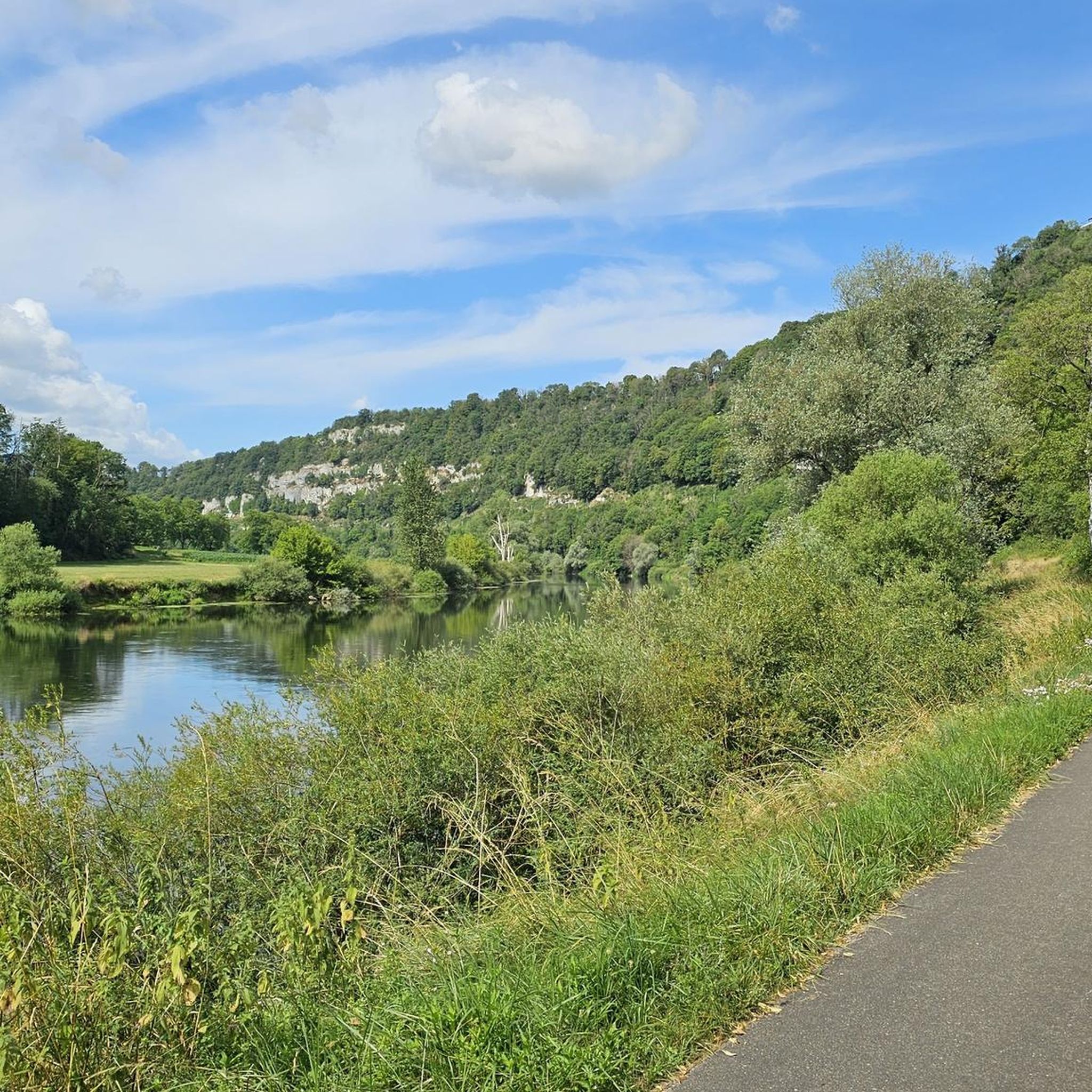
Very beautiful viewpoint of Montaigue with orientation table.
0
0

Chateau Which overlooks the valley; possible visits
0
0
Very nice view of a magnificent landscape.
0
0

Wonderful ascent from St Hipppokyte on a barely traveled road through magical forests
0
0

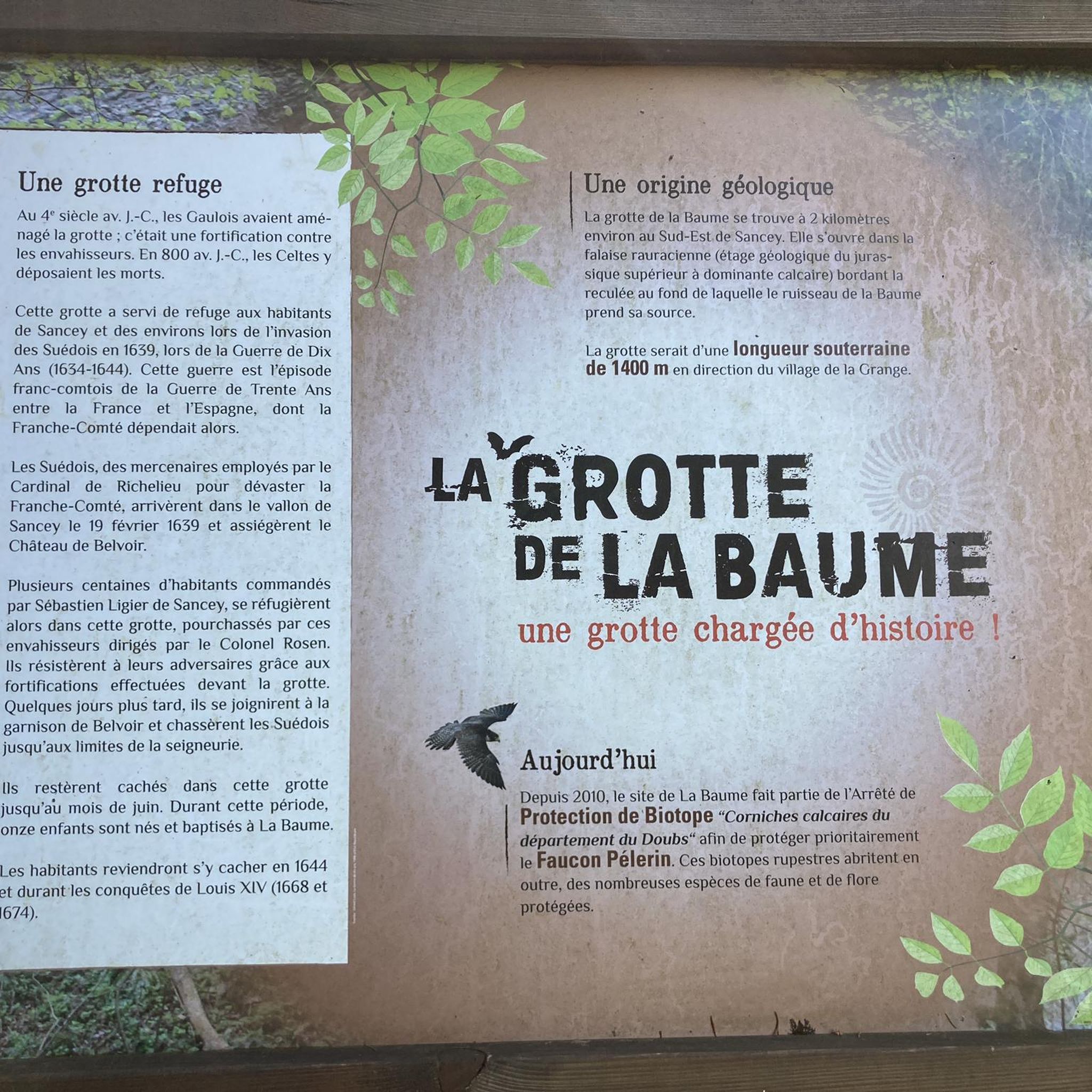
Ruisseau de Dard, beautiful view of the karst landscape and the villages around Sancey-le-Grand. More information: https://de.wikipedia.org/wiki/Sancey-le-Grand
2
0
Frequently Asked Questions
How many hiking trails are available around Provenchère?
There are over 30 hiking routes around Provenchère, offering a variety of experiences. These include 12 easy trails, 20 moderate options, and 1 more challenging route, ensuring there's something for every skill level.
Are there any easy or family-friendly hiking trails in Provenchère?
Yes, Provenchère offers 12 easy hiking trails suitable for families. A good option is the Belvoir Castle – Beautiful castle complex loop from Belvoir, which is 6.2 km long and takes about 1 hour 46 minutes to complete. The region's varied terrain, including children's rock formations and fruit tree paths, makes for an engaging experience.
What kind of landscapes can I expect to see while hiking in Provenchère?
Hiking in Provenchère offers diverse landscapes characteristic of the Vosges region. You'll encounter picturesque ridgelines, varied terrain including children's rock formations and fruit tree paths, and expansive views over the Bruche valley. The area is known for its highest Lorraine slopes of the Vosges, providing stunning natural beauty.
Are there any circular walks available in Provenchère?
Many of the trails in Provenchère are circular, allowing you to start and end at the same point. For instance, the Village of the Dwarfs loop from Sancey-le-Long is a moderate 7.9 km circular route.
What are some notable viewpoints or landmarks to discover on a hike?
The region boasts several notable viewpoints and landmarks. You can find the summit of Voyemont overlooking Saâles, the Roche des Fées Viewpoint, and the Julius Tower (Tour du Climont) on Mont Climont, all offering scenic vistas. Additionally, you might encounter the Belvédère du Rocher du Bourbet, which provides another excellent perspective.
Are there any waterfalls or rivers to see along the trails?
Yes, you can discover natural water features in the area. The Waroly Waterfall is a notable highlight. Additionally, the Doubs River Branch Between Pont-de-Roide and Bief offers a scenic riverine environment.
What do other hikers say about the trails in Provenchère?
The trails in Provenchère are highly regarded by the komoot community, with an average rating of 4.3 stars from over 90 reviews. Hikers often praise the diverse terrain and the well-maintained paths that offer a range of experiences from easy strolls to more challenging ascents.
Are there any long-distance hiking options or multi-day treks?
For those seeking longer adventures, Provenchère-et-Colroy is situated along the GR® de Pays de La Ligne Bleue des Vosges. This significant long-distance route spans 177 km, inviting discovery of the Vosges' beauty and rich history, and can be completed over multiple days.
What is the typical duration for a hike in Provenchère?
Hiking durations vary depending on the trail's length and difficulty. Many moderate trails, like the View of Montaigue loop from Les Terres-de-Chaux (12.3 km), can take around 3 hours 30 minutes. Shorter, easy routes can be completed in under 2 hours, while longer, more challenging ones may take 6 hours or more.
Can I combine hiking with exploring historical sites?
Absolutely. Several routes in the area combine natural beauty with historical interest. For example, the Village of the Dwarfs – Belvoir Castle loop from Sancey-le-Long integrates natural features with historical landmarks like Belvoir Castle.
Are there any specific attractions or points of interest near the hiking routes?
Beyond the natural beauty, you can explore attractions such as the Girardot Mill. The region also features the Rest area on the Dessoubre, offering a peaceful spot to pause during your explorations.
What is the elevation gain like on the trails in Provenchère?
The elevation gain varies significantly across trails. Easy routes might have around 150 meters of ascent, while moderate trails can feature 200-400 meters of elevation gain. More challenging hikes, such as the Julius Tower loop from Saâles, can involve over 600 meters of climbing.
Most popular attractions around Provenchère

Get inspired with the komoot mobile app


Explore more
Browse the best Hikes in other regions.
