The best MTB trails around Anglards-De-Saint-Flour
4.4
(50)
346
riders
49
rides
Mountain biking around Anglards-De-Saint-Flour offers diverse terrain within the Cantal department of the Auvergne-Rhône-Alpes region. The area is situated at the edge of Europe's largest stratovolcano, providing a unique geological backdrop for exploration. Riders can navigate between the granite massif of the Margeride plateau, the Aubrac region, and the deep gorges of the Truyère. This landscape includes forests, mountains, and high plateaus, with routes featuring climbs and descents.
Best mountain bike trails around Anglards-De-Saint-Flour
- The most popular mountain bike trail…
Last updated: July 15, 2026
28
riders
120km
10:48
2,570m
2,570m
Hard mountain bike ride. Very good fitness required. Suitable for all skill levels.
4.0
(1)
10
riders
43.6km
03:41
810m
810m
Moderate mountain bike ride. Good fitness required. Suitable for all skill levels.

Sign up for free
4.0
(2)
14
riders
36.1km
02:50
590m
590m
Moderate mountain bike ride. Good fitness required. Suitable for all skill levels.
4.5
(2)
6
riders
17.1km
01:16
270m
270m
Easy mountain bike ride. Great for any fitness level. Suitable for all skill levels.
4.0
(1)
7
riders
Moderate mountain bike ride. Good fitness required. Suitable for all skill levels.
Get access to more routes and recommendations from other explorers.
Sign up for free
Already have an account?
Our route recommendations are based on thousands of hikes, rides, and runs completed by other people on komoot.
Start today with a free account
Your next adventure awaits.
Login or Signup
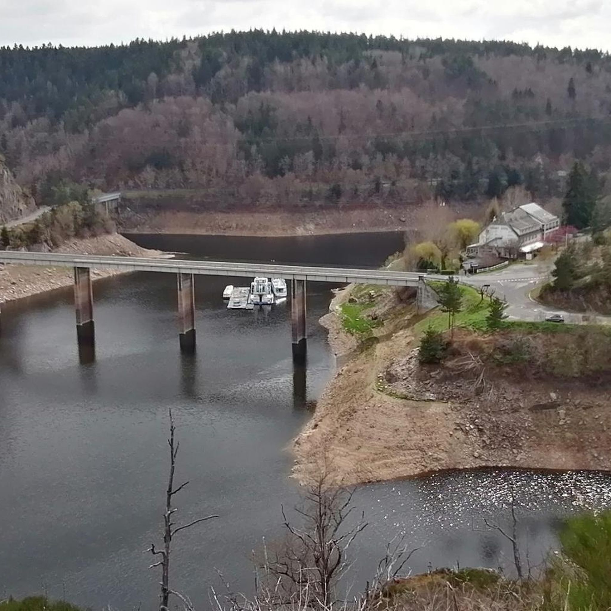
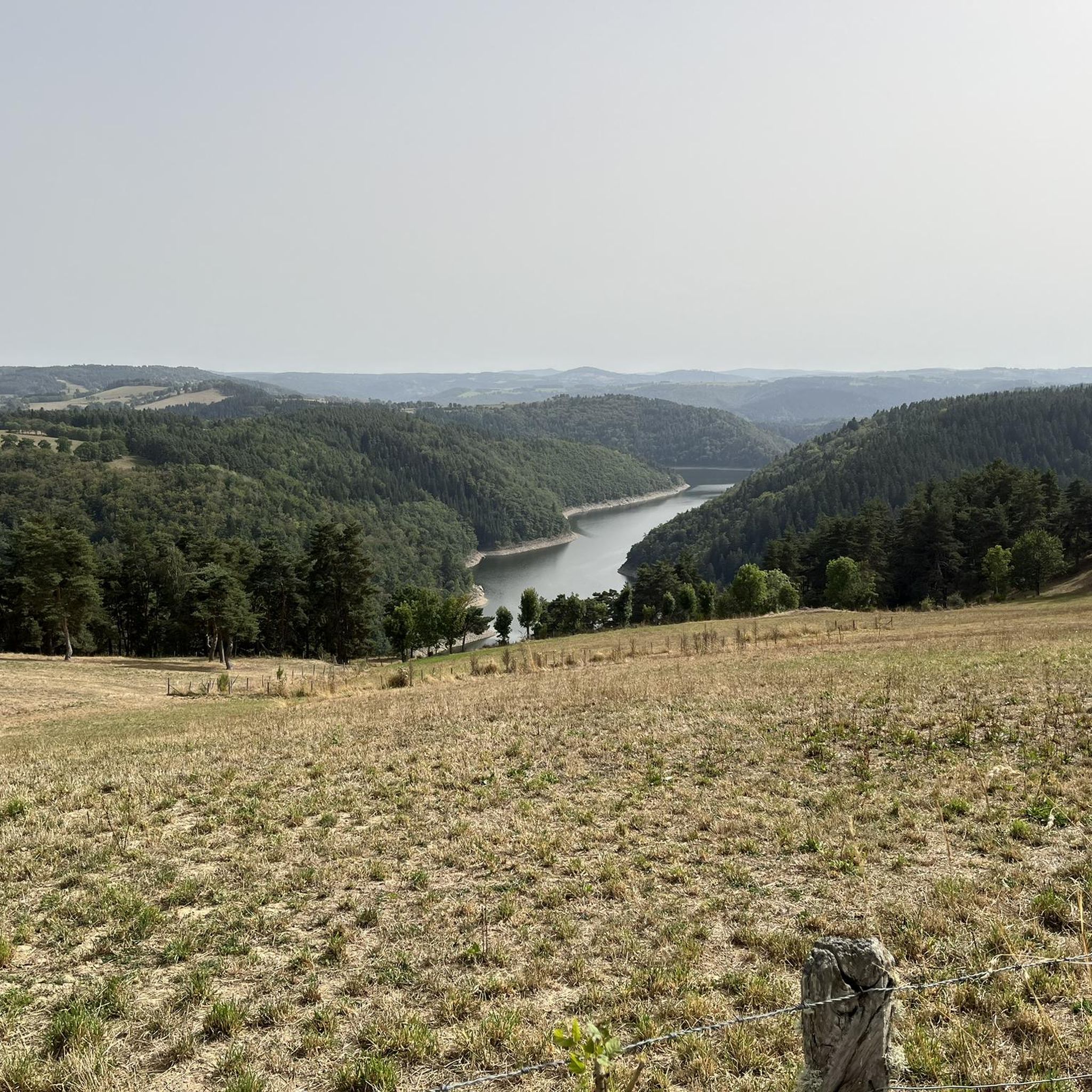
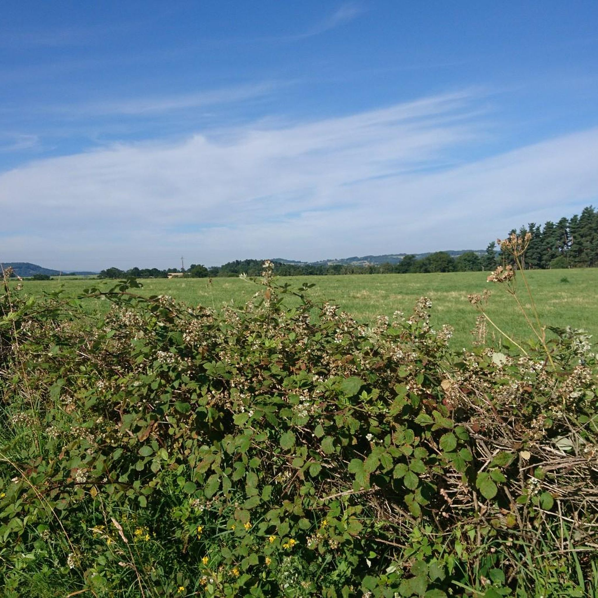
Tips from the Community

Historical wealth - Magnificent landscapes - Slightly difficult hike, good physical condition required.
0
0

Mont Mouchet is a peak that is part of the Margeride massif. There, you'll find very rocky areas and other more wooded areas, composed of beech and fir forests. As a result, the landscapes are fabulous. Mont Mouchet is also a site classified as a High Place of the Resistance in Auvergne. From here, you can enjoy a superb 360° panorama.
0
0
Very nice hike, I recommend starting in the opposite direction in order to finish by going down the scree rather than going up... otherwise the hike is mainly on shaded paths...
0
0

A lovely place of contemplation You'll find a bar/restaurant and a museum there.
0
0

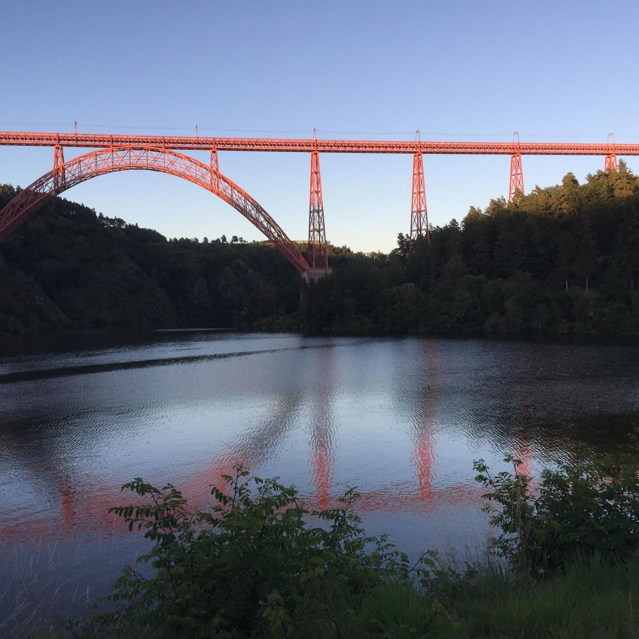
Superb view of the Garabit viaduct, allowing you to cross the Truyère gorges. This metal structure, created by Gustave Eiffel, is 565 meters long and rises to 122 meters above the water. It was at one time the “highest viaduct in the world”!
0
0

Impressive viaduct designed by Eiffel. Go as close as possible for snaps.
0
0

Mont Mouchet, like many other isolated and wild places in France (whether for example the Vercors plateau or the Albion plateau) served as a maquis for resistance fighters during the Second World War. It culminates at 1,497 meters in the Margeride massif. It offers very beautiful views of the unspoiled landscape that surrounds it. It borders three very sparsely populated departments of France: Haute-Loire, Cantal and Lozère.
0
0
Frequently Asked Questions
What kind of terrain can I expect on mountain bike trails around Anglards-De-Saint-Flour?
The region offers a diverse and rugged natural landscape for mountain biking. You'll find trails that navigate between the granite massif of the Margeride plateau, the Aubrac region, and the deep gorges of the Truyère. Expect a mix of forests, mountains, and high plateaus, with routes that include both steep climbs and descents, and even some stream crossings.
How many mountain bike trails are available in Anglards-De-Saint-Flour?
There are over 50 mountain bike trails around Anglards-De-Saint-Flour listed on komoot, offering a wide range of options for different skill levels and preferences.
Are there mountain bike trails suitable for beginners or families in Anglards-De-Saint-Flour?
Yes, the area caters to various skill levels. While there are challenging routes, you can find easier paths suitable for beginners or family outings. For example, the Saint-Georges Church loop from Saint-Georges is an easy 17.1 km trail that leads through rural landscapes.
What are the difficulty levels of mountain bike trails in this region?
The trails around Anglards-De-Saint-Flour range from easy to difficult. Out of the 53 available routes, 4 are classified as easy, 38 as moderate, and 11 as difficult, ensuring options for all experience levels.
What natural attractions or viewpoints can I discover while mountain biking?
The region is rich in natural beauty. You can explore the breathtaking Truyère Gorges, which offer stunning views. The area is also at the edge of Europe's largest stratovolcano, providing unique geological backdrops and panoramic vistas, especially from high plateaus like the Planèze of Saint-Flour.
Are there any historical landmarks or points of interest near the mountain bike routes?
Yes, several notable landmarks are within reach. You might pass by the impressive Garabit Viaduct, an architectural marvel. The historic city of Saint-Flour, perched on a volcanic promontory, is also nearby with its ancient ramparts and fortified gates. Additionally, Alleuze Castle is another significant site in the vicinity.
What do other mountain bikers say about the trails in Anglards-De-Saint-Flour?
The mountain biking routes in Anglards-De-Saint-Flour are highly rated by the komoot community, with an average score of 4.4 stars from over 50 reviews. Many riders praise the varied terrain, from volcanic landscapes to deep gorges and high plateaus, and appreciate the options available for different ability levels.
Can I find circular mountain bike routes in Anglards-De-Saint-Flour?
Yes, many of the mountain bike trails in the area are designed as loops. For instance, the Ruynes-en-Margeride – Saint-Georges Church loop from Anglards-de-Saint-Flour is a popular moderate route that offers a mix of terrain and passes by local landmarks.
What is the typical elevation gain on mountain bike trails in this region?
Given the diverse terrain, elevation gains vary significantly. Trails can range from modest climbs, like the Saint-Georges Church loop from Saint-Georges with around 267 meters of ascent, to more challenging routes such as the Ruynes-en-Margeride loop from Viaduc de Garabit, which features over 1000 meters of elevation gain.
What is the best time of year for mountain biking in Anglards-De-Saint-Flour?
The Auvergne-Rhône-Alpes region, including Anglards-De-Saint-Flour, is generally excellent for outdoor activities. While specific seasonal advice for mountain biking isn't provided, the diverse landscapes of forests, mountains, and high plateaus suggest that spring and autumn offer pleasant temperatures and vibrant scenery. Summer is also suitable, though some higher elevation trails might be more exposed to sun.
Are there any longer, more challenging mountain bike tours available?
Absolutely. For experienced riders seeking a significant challenge, the Ruynes-en-Margeride – Summit of Mont Mouchet loop from Anglards-de-Saint-Flour is a difficult 119.7 km trail with over 2500 meters of elevation gain, typically taking nearly 11 hours to complete. This route explores the higher elevations and varied landscapes of the region.
Most popular routes around Anglards-De-Saint-Flour
Most popular attractions around Anglards-De-Saint-Flour

Get inspired with the komoot mobile app


Explore more
Browse the best MTB trails in other regions.
