The best running trails around Le Vaudoué
4.4
(126)
6,270
runners
15
runs
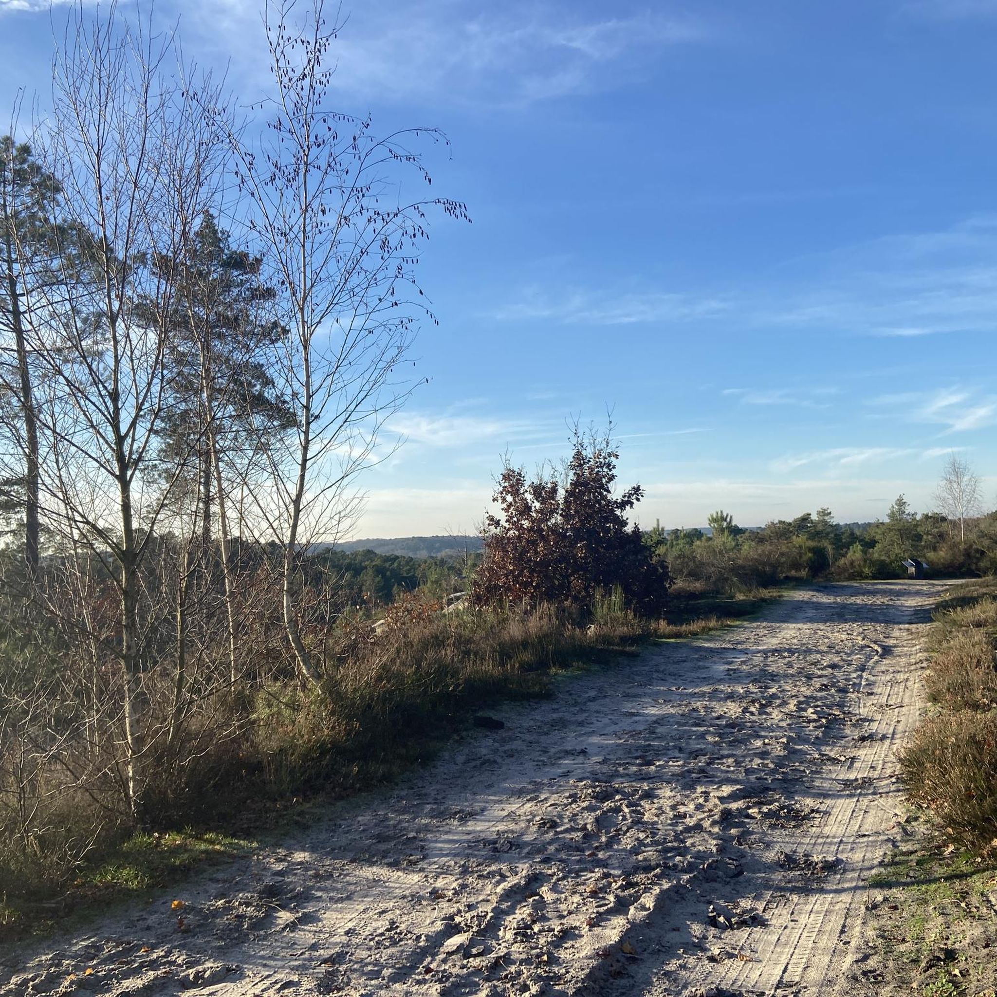
Jogging routes around Le Vaudoué traverse the diverse landscapes of the Fontainebleau forest and the Massif des Trois Pignons. This region is characterized by expansive white sands and distinctive sandstone rocks, offering varied terrain for runners. Joggers can experience a mix of forest paths, agricultural plains, and views of nearby valleys, with specific rock formations like Rocher Cailleau and Rocher Guichot providing elevated viewpoints.
Best jogging routes around Le Vaudoué
- The most popular jogging route is Le Pignon des Poivres…
Last updated: July 2, 2026
77
runners
15.3km
01:53
140m
140m
Hard run. Very good fitness required. Mostly paved surfaces. Suitable for all skill levels.
17
runners
Moderate run. Good fitness required. Mostly paved surfaces. Suitable for all skill levels.

Sign up for free
4.0
(3)
15
runners
6.60km
00:44
80m
80m
Moderate run. Good fitness required. Mostly paved surfaces. Suitable for all skill levels.
8
runners
11.3km
01:16
80m
80m
Moderate run. Good fitness required. Mostly paved surfaces. Suitable for all skill levels.
4
runners
Moderate run. Good fitness required. Mostly paved surfaces. Suitable for all skill levels.
Get access to more routes and recommendations from other explorers.
Sign up for free
Already have an account?
Our route recommendations are based on thousands of hikes, rides, and runs completed by other people on komoot.
Start today with a free account
Your next adventure awaits.
Login or Signup
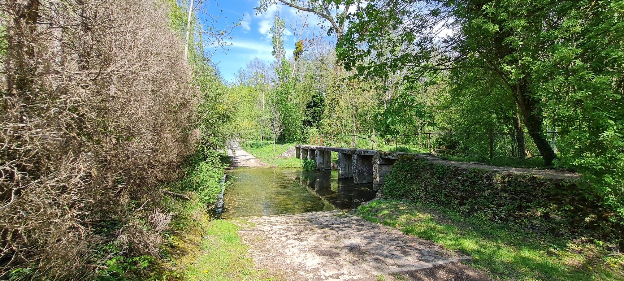
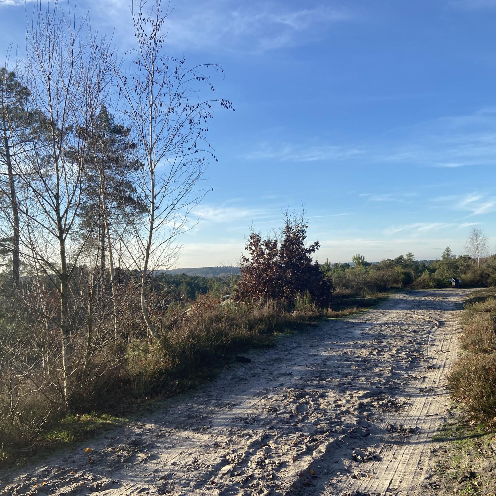
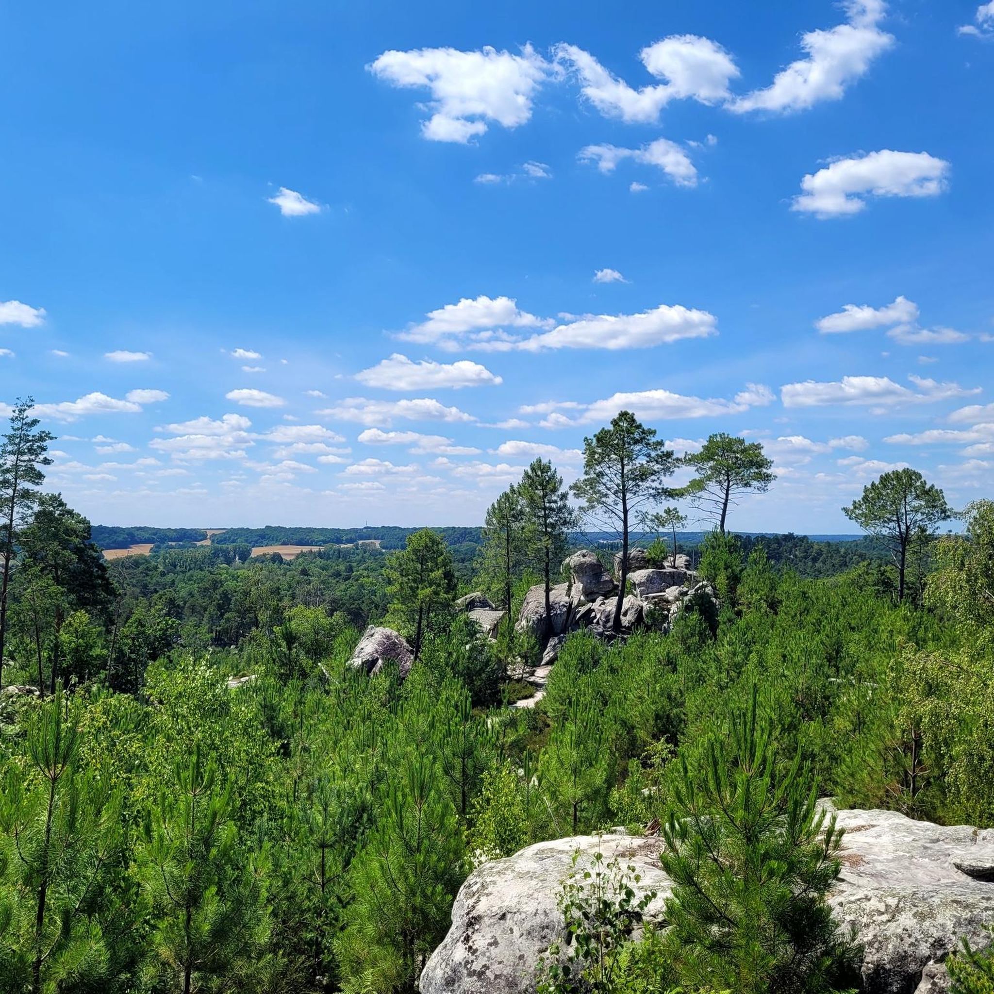
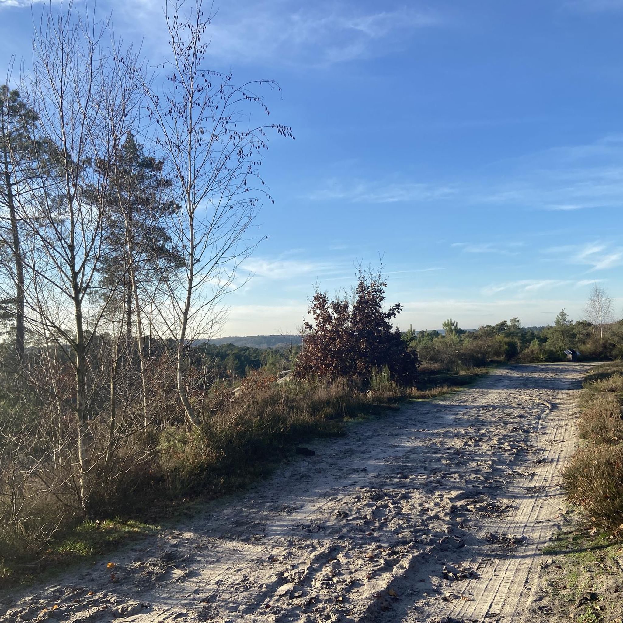

Other adventures around Le Vaudoué

Tips from the Community

quick access to the dog's ass
0
0


Do you see that cross on the horizon? It’s a cross of Lorraine.
1
0

Impossible to miss, Turtle Rock is one of the easiest rocks to know and recognize.
0
0

In many places you have a great view.
2
0
Here two of the “bosses” follow one another directly.
3
0
With a very nice viewpoint.
2
0
Frequently Asked Questions
How many running routes are available in Le Vaudoué?
Le Vaudoué offers a diverse network of over 15 running routes, catering to various skill levels. These trails wind through the unique landscapes of the Fontainebleau forest and the Massif des Trois Pignons.
What kind of terrain can I expect on the jogging trails in Le Vaudoué?
Jogging routes in Le Vaudoué feature a varied terrain, including expansive white sands, distinctive sandstone rocks, and extensive forest paths. You'll experience a mix of wooded areas, agricultural plains, and even elevated viewpoints offering vistas over nearby valleys like Noisy-sur-École.
Are there easy running routes suitable for beginners or families?
Yes, Le Vaudoué has several easy running options. For instance, the Rocher Guichot – Justice of Noisy loop from Le Vaudoué is a moderate 6.6 km (4.1 miles) trail that can be completed in about 45 minutes, leading through forest and past notable rock formations. The region also offers other accessible circuits like the 4.5 km 'Circuit du Tour du Vaudoué' mentioned in regional research, which is considered easy.
Are there challenging running routes for experienced runners?
Absolutely. For those seeking a more demanding run, the Le Pignon des Poivres loop from Le Vaudoué is a difficult 17.4 km (10.8 miles) trail that takes approximately 2 hours and 7 minutes to complete. This route explores the varied and challenging terrain of the Massif des Trois Pignons. Additionally, the renowned 8-kilometer 'Circuit des 25 bosses' within the Massif des Trois Pignons is a highlight for those seeking a challenging sports course.
Can I bring my dog on the running trails in Le Vaudoué?
Generally, dogs are welcome on trails within the Fontainebleau forest and the Gâtinais Regional Natural Park, provided they are kept on a leash to protect wildlife and ensure the safety of other users. It's always advisable to check specific trail regulations before heading out.
What are some scenic viewpoints or landmarks to look out for while running?
The area is rich in natural and historical points of interest. You can spot unique rock formations like Rocher Cailleau and Rocher Guichot, which offer elevated views. Some routes, like the Le Pignon des Poivres – View of the Croix de Lorraine loop from Le Vaudoué, offer views towards the Cross of Lorraine on the Maquisards' Pignon. Other notable attractions nearby include the Grotte du Serment and unique natural monuments like The Elephant.
Are there any circular running routes in Le Vaudoué?
Yes, many of the running routes around Le Vaudoué are circular, offering convenient starting and ending points. Examples include the Rocher Guichot – Chemin de la vallée Close loop from Le Vaudoué, which is a moderate 11.3 km (7 miles) run, and the Noisy-sur-École Village – Roche aux Sabots Climbing Area loop from Le Vaudoué, a 9.6 km (6 miles) moderate trail.
What is the best season for jogging in Le Vaudoué?
Le Vaudoué is an excellent destination for jogging year-round. Spring and autumn offer pleasant temperatures and beautiful foliage, while summer provides lush green scenery. Even in winter, the forest paths can be invigorating, though conditions may vary, so checking local weather is always recommended.
Is parking available near the running trails?
Yes, parking is generally available in and around Le Vaudoué, particularly near popular trailheads and village centers. Many routes start directly from the village, making access convenient for those arriving by car.
Can I reach the running trails by public transport?
While Le Vaudoué is somewhat rural, it is possible to access the area by public transport, though options might be limited. Regional bus services connect surrounding towns, which may offer connections to train stations. Planning your journey in advance is recommended to find the most suitable public transport links to the trail starting points.
What do other runners enjoy most about jogging in Le Vaudoué?
The running routes in Le Vaudoué are highly rated by the komoot community, with an average score of 4.5 stars from over 100 reviews. Runners often praise the varied terrain, the beautiful forest scenery, and the well-maintained paths that offer options for all ability levels. The unique sandstone formations and peaceful atmosphere are frequently highlighted as key attractions.
Are there any long-distance running options in the area?
Yes, Le Vaudoué is crisscrossed by extensive networks of trails, including long-distance Grande Randonnée (GR) paths like the GR1 (tour of Ile-de-France) and GR32. These paths offer opportunities for longer runs, connecting various parts of the Fontainebleau forest and the Gâtinais Regional Natural Park, allowing for extended exploration beyond individual loops.
Most popular routes around Le Vaudoué
Most popular attractions around Le Vaudoué

Get inspired with the komoot mobile app


Explore more
Browse the best Running Trails & Routes in other regions.
