The best walks and hikes around Grépiac
4.6
(402)
2,536
hikers
150
hikes
Hiking around Grépiac offers a network of trails primarily situated along the Ariège river, characterized by gentle elevation changes and varied rural landscapes. The region features riverside paths, open areas with views, and routes passing through local villages. The terrain is generally accessible, with most trails classified as easy or moderate, making it suitable for a range of hiking abilities.
Best hiking trails around Grépiac
- The most popular hiking route is View of the Ariège river – Cascade du Ramier…
Last updated: June 25, 2026
4.7
(56)
219
hikers
8.32km
02:21
150m
150m
Moderate hike. Good fitness required. Mostly accessible paths. Sure-footedness required.
4.5
(2)
40
hikers
Moderate hike. Good fitness required. Mostly accessible paths. Sure-footedness required.

Sign up for free
5.0
(4)
20
hikers
13.0km
03:31
170m
170m
Moderate hike. Good fitness required. Easily-accessible paths. Suitable for all skill levels.
5.0
(1)
11
hikers
Moderate hike. Good fitness required. Easily-accessible paths. Suitable for all skill levels.
5.0
(2)
6
hikers
9.07km
02:24
90m
90m
Moderate hike. Good fitness required. Easily-accessible paths. Suitable for all skill levels.
Get access to more routes and recommendations from other explorers.
Sign up for free
Already have an account?
Our route recommendations are based on thousands of hikes, rides, and runs completed by other people on komoot.
Start today with a free account
Your next adventure awaits.
Login or Signup



Tips from the Community


The Quaternary site of Clermont, from the dual perspective of paleontology and prehistoric archaeology Thirty years after his initial discoveries (1851-1881), Noulet takes stock of the Infernet site.
1
0

Nice view from the start of the hike starting from Vernet.
1
0

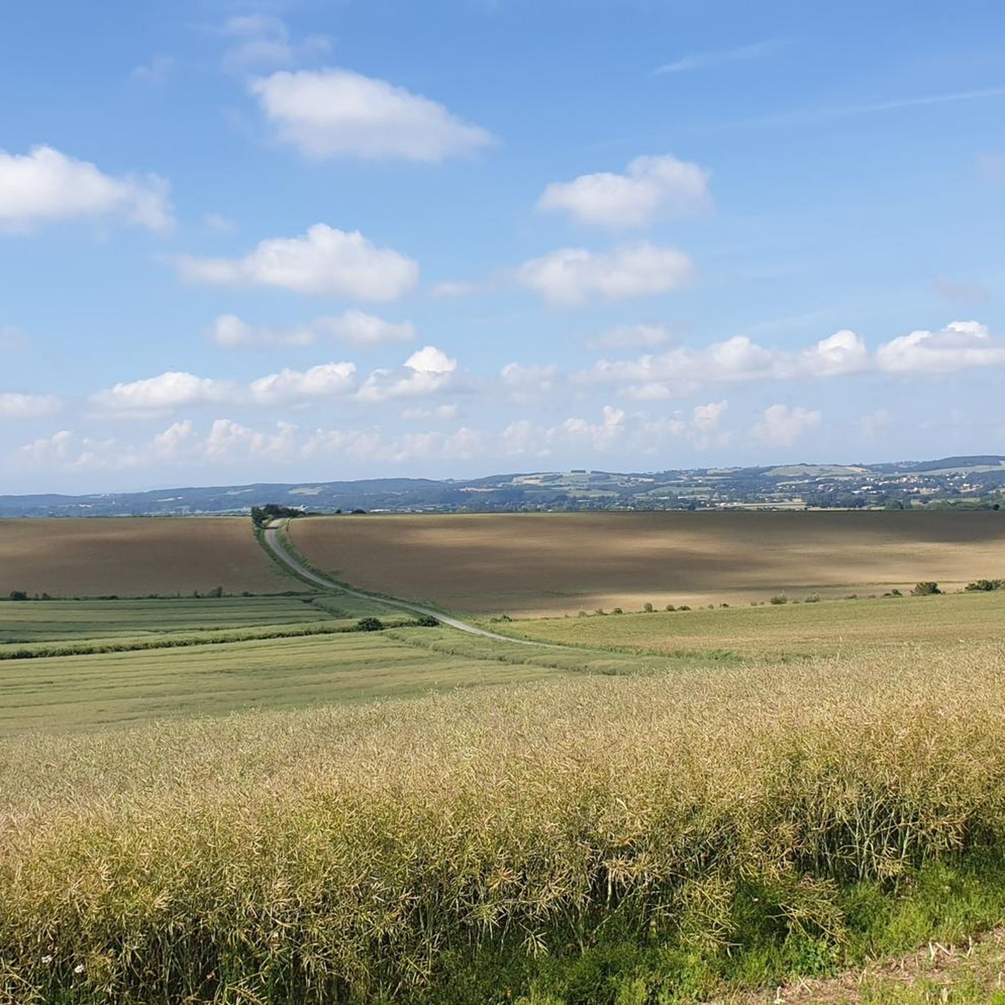
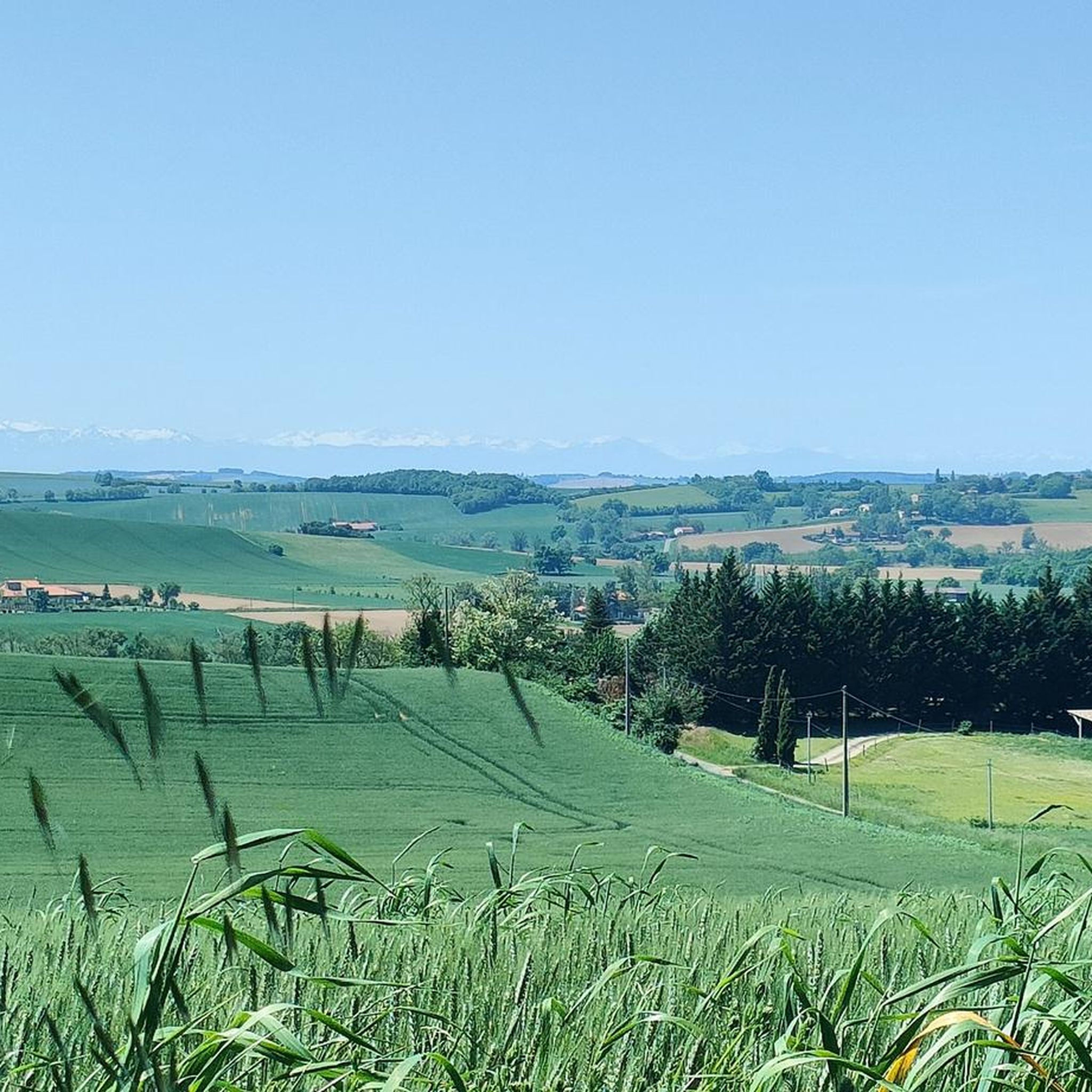
A tiny village with incredible charm, Clermont-le-Fort dominates the Ariège plain and offers a splendid panorama of the Pyrenees chain. Be careful, the view is worth it with beautiful percentages all around. Departure for beautiful walks, mountain bike or gravel rides.
1
0

Steep but short hill
0
0

A very nice viewpoint with an orientation table to help you find your way around and a few benches for a picnic break.
1
0

Beautiful beaches and waterfalls very popular with picnickers.
0
0

This little single passes near the Ariège. It is suitable for both mountain bikes and gravel. Passage near the waterfall. Really nice.
0
0
Frequently Asked Questions
How many hiking trails are available around Grépiac?
Grépiac offers a diverse network of over 120 hiking trails. These routes primarily follow the Ariège river, featuring gentle elevation changes and varied rural landscapes, making them accessible for a wide range of abilities.
Are there easy hiking options suitable for beginners or families in Grépiac?
Yes, Grépiac is very welcoming for beginners and families, with over 40 easy-rated trails. An excellent option is the Wind turbine loop from Vernet, which is an easy 3.4-mile (5.5 km) route. Another family-friendly choice is the Church of Pinsaguel loop from Vernet, an easy 3.1-mile (5.1 km) hike.
What kind of terrain can I expect on hikes around Grépiac?
The terrain around Grépiac is characterized by riverside paths along the Ariège, open rural areas, and sections passing through local villages. You'll find a mix of singletrack paths and wider trails, with generally gentle elevation changes, making most routes easy to moderate.
Are there any circular hiking routes in Grépiac?
Yes, many of the trails around Grépiac are designed as loops, offering convenient starting and ending points. For example, the Wind turbine loop from Vernet and the Church of Pinsaguel loop from Vernet are both excellent circular options.
What are the best seasons for hiking in Grépiac?
Grépiac is enjoyable for hiking throughout much of the year. Spring and autumn offer pleasant temperatures and vibrant scenery. Summer can be warm, so early morning or late afternoon hikes are recommended. Winter hiking is generally possible due to the mild climate, though paths near the river might be damp.
Can I bring my dog on the hiking trails in Grépiac?
Most trails in the Grépiac area are dog-friendly, allowing you to enjoy the rural and riverside landscapes with your canine companion. It's always advisable to keep dogs on a leash, especially when passing through agricultural areas or near wildlife, and to respect local signage.
Are there any waterfalls to see on hikes near Grépiac?
Yes, the region features the Cascade du Ramier, a notable waterfall that is often incorporated into several popular loop trails along the Ariège river. You can experience it on routes like the View of the Ariège river – Cascade du Ramier loop from Vernet.
What interesting landmarks or attractions can I find along the hiking routes?
While hiking around Grépiac, you can discover several points of interest. These include the historic Trail of the Notre-Dame des Bois Chapel, the picturesque Moulin de Montbrun-Lauragais, and the serene Banks of the Canal du Midi at Donneville. These attractions offer a glimpse into the region's natural beauty and heritage.
What do other hikers enjoy most about hiking in Grépiac?
The komoot community highly rates the hiking experience in Grépiac, with an average score of 4.6 stars from over 360 reviews. Hikers frequently praise the peaceful riverside paths, the varied rural landscapes, and the accessibility of the trails for different fitness levels. The presence of waterfalls and charming villages also adds to the appeal.
Are there any advanced or difficult hiking routes in Grépiac?
While Grépiac is primarily known for its easy to moderate trails, there is at least one route classified as difficult among the 125 available. The region's focus is more on accessible, scenic walks along the river and through rural areas, rather than challenging mountain ascents.
Is public transport available to access hiking trails in Grépiac?
Access to hiking trails in Grépiac primarily relies on local road networks. While specific public transport links directly to trailheads might be limited, local bus services connect Grépiac to nearby towns. It's advisable to check regional transport schedules for the most up-to-date information on reaching specific starting points.
Are there places to park near the trailheads in Grépiac?
Yes, many trailheads and villages in the Grépiac area offer designated parking spaces, making it convenient to access the hiking routes by car. Specific parking availability can vary by location, so it's a good idea to check the starting point details for individual routes on komoot.
Most popular attractions around Grépiac

Get inspired with the komoot mobile app


Explore more
Browse the best Hikes in other regions.
