The best running trails around Melles
4.5
(16)
1,445
runners
63
runs
Jogging around Melles offers a diverse range of running experiences across varied landscapes. The region encompasses both the scenic Teutoburg Forest and the TERRA.vita Nature Park in Germany, featuring hilly terrain, dense woodlands, and numerous small streams. In Missouri, New Melle provides a rural setting with parks, lakes, and a mix of paved and natural surface trails. This combination ensures a wide array of running routes suitable for different preferences and fitness levels.
Best jogging routes around Melles
- The most…
Last updated: July 4, 2026
87
runners
17.5km
03:05
1,130m
1,130m
Hard run. Very good fitness required. Sure-footedness, sturdy shoes and alpine experience required.
14
runners
3.92km
00:35
220m
220m
Hard run. Good fitness required. Sure-footedness, sturdy shoes and alpine experience required.

Sign up for free
7
runners
8.47km
01:16
380m
370m
Hard run. Very good fitness required. Mostly paved surfaces. Suitable for all skill levels.
9
runners
9.69km
01:07
270m
270m
Moderate run. Good fitness required. Mostly paved surfaces. Suitable for all skill levels.
8
runners
13.0km
02:19
900m
900m
Hard run. Very good fitness required. Sure-footedness, sturdy shoes and alpine experience required.
Get access to more routes and recommendations from other explorers.
Sign up for free
Already have an account?
Our route recommendations are based on thousands of hikes, rides, and runs completed by other people on komoot.
Start today with a free account
Your next adventure awaits.
Login or Signup

Other adventures around Melles

Tips from the Community

The road from Melles is in good condition up to the last houses, then it becomes much more sporty, with quite a few very rough and rocky sections. But the views are sumptuous!
0
0

Also, stop at the Là Soulan hostel for a well-deserved break. Very warm welcome. 👍
0
0

Very beautiful peak! Magnificent view of the Aneto massif! I recommend it!
0
0

I would like to make hikers aware that this route can become particularly dangerous in winter, particularly because of the ridge towards the Pas de l'Ane which can become covered in ice. In this case, ice axes and mountaineering crampons are essential. 2 people died at this location on 1/1/2025, which triggered access bans. I have taken steps to have these bans lifted while raising awareness in a constructive way. Take the time to find out about the snow conditions before undertaking this hike. Enjoy your walks!
9
1

Crossroads for the Cagire and the Pic d'Escalette
0
0

One of the mythical Pyrenean ports of the Tour de France, known largely for the tragic fall of Luis Ocaña in the 1971 Tour when he was leading the general classification. Its 2 aspects have a lot of crumbs: - west slope that starts from Saint Béat: it is the hardest. It is 9.7 km with an average slope of 8.7%. It is a very constant climb, with a small break when passing through Boux. The first part is a little harder and uglier since you barely have any views and you go up through the middle of a valley. The final part is spectacular with its many horseshoe curves, good panoramic views and the monument to the place where Luis Ocaña fell. - east slope: it is longer, with an initial section of 7 km very winding with a slope of 4%. It also has a break in its intermediate zone. Once the hard part starts, it is also very constant, like the west slope, although the average slope is 7-8%. This aspect has even more twists than the previous one. For more information, consult the profile published by cylcingcols.com -- > http://www.cyclingcols.com/col/Mente
0
0

Once you leave the Refugi de Honeria and north of the Serra de Bedreda, we find this path that first meanders along the river, climbs through forests and leaves them, arriving in this gorge area with the river des Gràuers. The path after this narrow pass climbs to the north of what is called the Tuc des Cabres.
0
0

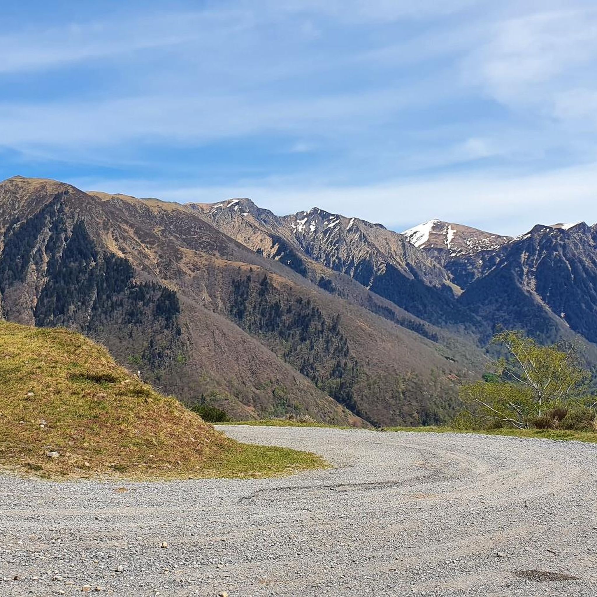
At the Col d'Artigascou, beautiful view of the Aneto peak and the Pyrenees range. The road ends with a gravel track.
0
0
Frequently Asked Questions
How many running routes can I find in Melles?
Komoot offers nearly 80 diverse running routes around Melles. These include a few easy paths, 12 moderate trails, and over 60 challenging routes, ensuring options for various fitness levels and preferences.
Are there any easy or beginner-friendly jogging routes in Melles?
Yes, while many routes are challenging, there are options suitable for beginners. In Melle, Germany, the Riemsloher Forest offers gentler, circular runs with no significant inclines. In New Melle, Missouri, The Park at New Melle Lakes features easy, flat paths with no obstacles, including approximately 4 miles of paved trails.
What kind of terrain can I expect on jogging trails in Melles?
The terrain varies significantly across Melles. In Germany, you'll find dense forests, hilly landscapes like the Meller Berge, and paths within the Teutoburg Forest and TERRA.vita Nature Park. These often include trail-like sections and some routes with significant elevation gain. In New Melle, Missouri, routes are more rural, featuring a mix of paved and natural surface trails around lakes and through parks.
Are there any long-distance running trails in the Melles region?
Yes, for those seeking longer runs, Melles offers several options. For example, the Col d'Auéran – Pas du Bouc loop from Melles is a challenging 18.2-mile (29.3 km) route. The region also features extensive hiking and cycling routes like the 100 km Ahornweg in Germany, which can be adapted for long-distance running.
What do other runners say about the jogging routes in Melles?
The running routes in Melles are highly rated by the komoot community, with an average score of 4.3 stars from over 15 reviews. Over 1600 runners have explored the varied terrain, often praising the diverse landscapes, from dense forests to rural parklands, and the range of difficulty levels available.
Are there any family-friendly jogging options in Melles?
In New Melle, Missouri, The Park at New Melle Lakes offers a unique family-friendly experience with its Storybook Trail. Pages from children's books are posted along the route, providing an engaging activity for families jogging or walking together. The paved trails in this park are also suitable for families.
Can I find circular jogging routes in Melles?
Yes, circular routes are available. In Melle, Germany, the Riemsloher Forest is known for its easy circular runs. For a moderate challenge, consider the Col d'Artigascou loop from Col de Menté, which is 6.0 miles (9.7 km) long. Many other routes are designed as loops, allowing you to start and finish at the same point.
What interesting sights or landmarks can I see along the jogging routes in Melles?
Melles offers a variety of sights. In Germany, you can incorporate cultural attractions like Gesmold Castle into longer runs. The region also features stunning natural viewpoints over the Ravensberg region, especially from locations like the Kaiser Friedrich Memorial Hut. For those exploring the mountainous areas, you might encounter various mountain passes or huts.
Are there any routes with significant elevation gain for challenging runs?
Absolutely. Many routes in Melles, particularly in the German part within the Teutoburg Forest and Meller Berge, feature significant elevation changes. For example, the Arriu des Gràuers loop from Eth Pradet involves nearly 900 meters (2950 ft) of ascent, making it a demanding option for experienced runners.
What are some of the more challenging running trails in Melles?
For a demanding run, consider the Menté Pass – Pic de l'Escalette (pass) loop from Col de Menté, a difficult 5.2-mile (8.4 km) trail with over 500 meters (1640 ft) of elevation gain. Many of the routes in the region are classified as difficult, offering substantial climbs and varied terrain.
Is Melles a good destination for trail running?
Yes, Melles is excellent for trail running, especially in the German part. The Teutoburg Forest and Meller Berge offer varied paths, including many trail-like sections, through dense woodlands and hilly landscapes. These routes often require sure-footedness due to uneven terrain and elevation changes, providing a true trail running experience.
Are there any routes that pass by water features like rivers or lakes?
Yes, in Melle, Germany, the Hunte river provides opportunities for runs alongside water, and the nearby Lake Dümmer is also a scenic spot. In New Melle, Missouri, The Park at New Melle Lakes features multiple lakes, with trails running alongside them, offering pleasant views and a tranquil setting.
Most popular attractions around Melles

Get inspired with the komoot mobile app


Explore more
Browse the best Running Trails & Routes in other regions.
