The best road cycling routes around La Chaudière
4.6
(203)
4,290
riders
76
rides
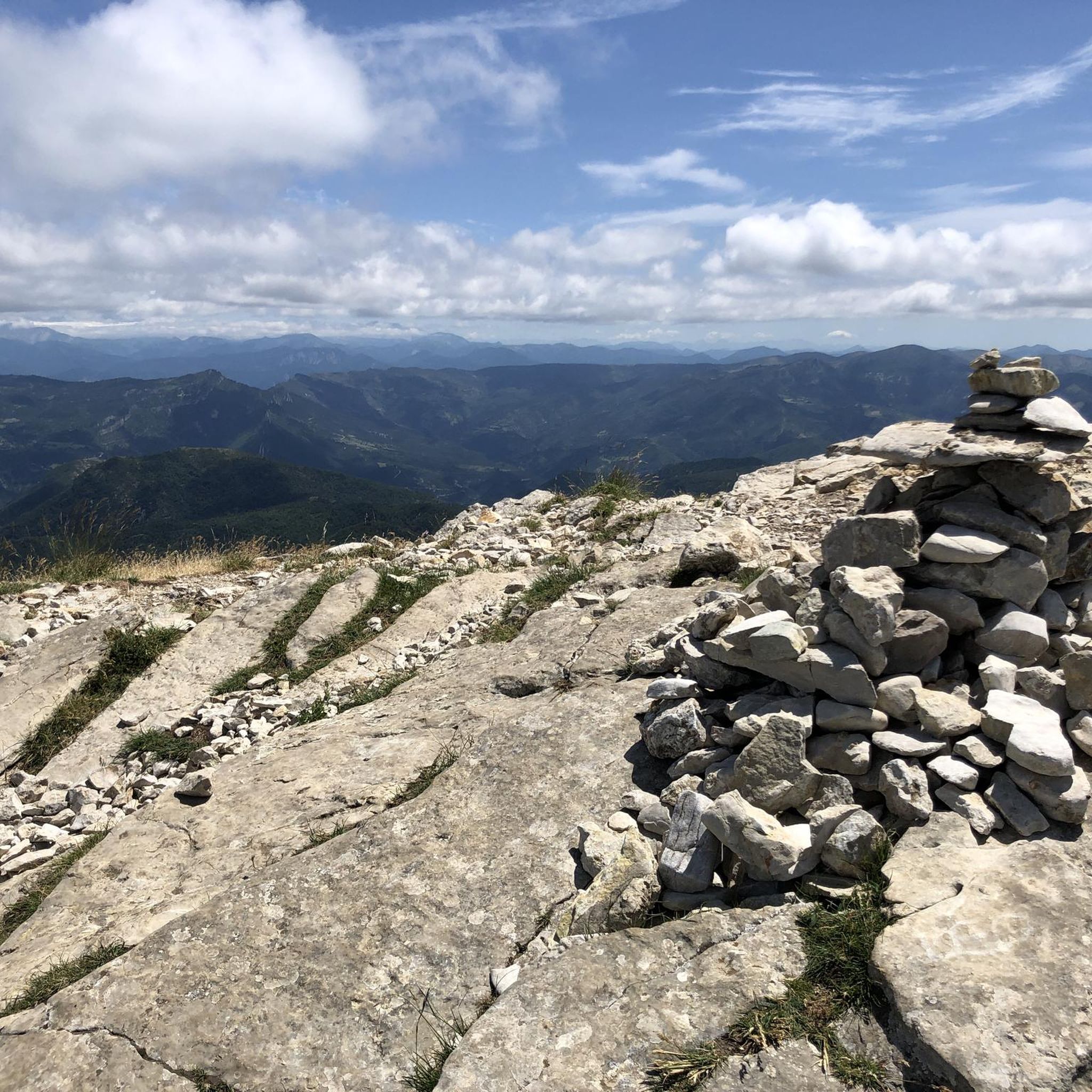
Road cycling routes around La Chaudière are found in a commune within the Drôme department of southeastern France, characterized by varied elevations ranging from approximately 1,932 to 5,118 feet (589 to 1,560 meters). This topographical diversity provides a stimulating environment for road cyclists, offering challenging climbs and scenic routes through mountainous terrain. The region features natural landscapes, including gorges and passes, suitable for road cycling.
Best road cycling routes around La Chaudière
- The most popular road cycling route is The…
Last updated: July 15, 2026
5.0
(1)
68
riders
105km
05:53
2,240m
2,240m
Hard road ride. Very good fitness required. Mostly well-paved surfaces and easy to ride.
5.0
(8)
288
riders
81.3km
04:00
1,230m
1,230m
Hard road ride. Very good fitness required. Mostly well-paved surfaces and easy to ride.

Sign up for free
4.7
(6)
110
riders
64.1km
03:11
970m
970m
Hard road ride. Very good fitness required. Mostly well-paved surfaces and easy to ride.
4.8
(4)
106
riders
44.3km
02:10
630m
630m
Moderate road ride. Good fitness required. Mostly well-paved surfaces and easy to ride.
4.6
(10)
86
riders
40.8km
01:47
400m
400m
Moderate road ride. Good fitness required. Mostly well-paved surfaces and easy to ride.
Get access to more routes and recommendations from other explorers.
Sign up for free
Already have an account?
Our route recommendations are based on thousands of hikes, rides, and runs completed by other people on komoot.
Start today with a free account
Your next adventure awaits.
Login or Signup
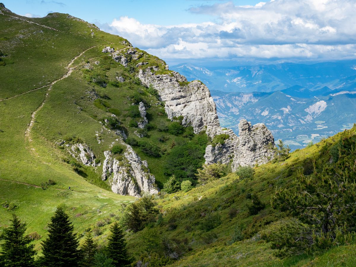
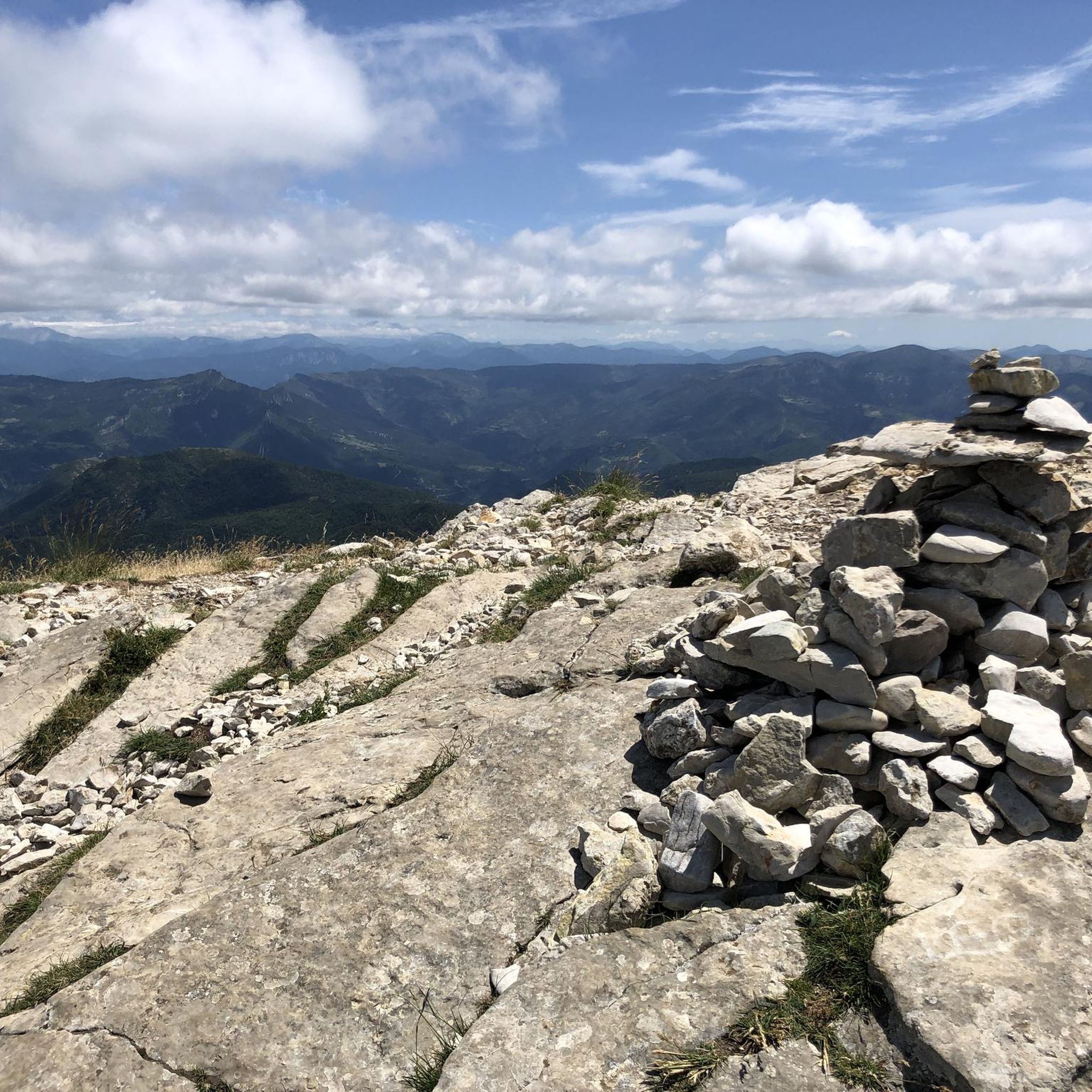

Other adventures around La Chaudière

Tips from the Community

The Col de Pennes (1,038 m) is a pass in the Diois massif, in the Drôme, which connects the Drôme valley with the Roanne valley. It is a little-known climb but highly appreciated by cyclists for the tranquility of the road, the good asphalt and the splendid panoramas.
8
0
The Col de Tavard is a small pass in the Drôme, in the Auvergne-Rhône-Alpes region, in the southeast of France.
7
0
Descent with asphalt in perfect condition.
7
0
The Gorges de la Roanne are one of the most striking natural sites in the Drôme department, in the heart of the Diois massif, about an hour from Le Saix.
7
0


A beautiful little pass under the gaze of the three beaks
0
1
Magnificent village on the way up to Saint Nazaire
0
0
Frequently Asked Questions
How many road cycling routes are available in La Chaudière?
La Chaudière offers a wide selection of road cycling routes, with over 70 distinct tours available. These routes cater to various skill levels, from moderate to difficult.
What kind of terrain can I expect on road cycling routes in La Chaudière?
The road cycling routes in La Chaudière, located in the Drôme department of southeastern France, are characterized by varied elevations ranging from approximately 589 to 1,560 meters (1,932–5,118 ft). You can expect stimulating environments with challenging climbs, exhilarating descents, and scenic routes through mountainous terrain, river gorges, and high mountain passes.
Are there routes suitable for beginners or less experienced road cyclists?
While many routes in La Chaudière feature significant elevation gain, there are options for different ability levels. Approximately 6 routes are classified as easy, and 37 as moderate, providing choices for those seeking a less strenuous ride.
What are some challenging road cycling routes in La Chaudière?
For experienced cyclists seeking a challenge, routes like The col de la Chaudière in the regional natural reserve of the grotte des Sadoux offer a demanding 104.5 km (64.9 miles) ride with over 2,200 meters of elevation gain. Another difficult option is the Col de Pennes – Die loop from Saillans, spanning 81.0 km (50.4 miles) with substantial climbs.
Are there any scenic viewpoints or natural landmarks along the road cycling routes?
Yes, the region is rich in natural beauty. Many routes offer panoramic views, especially when traversing mountain passes. Notable highlights include the Col de Pennes and the Col de la Chaudière. You can also find routes that lead through impressive natural features like the Gorges de la Roanne.
Can I find loop trails for road cycling in La Chaudière?
Absolutely. Many of the road cycling routes in La Chaudière are designed as loops, allowing you to start and finish in the same location. Examples include the Col de Pennes – Die loop from Saillans and the Gorges de la Roanne – Roanne Gorges loop from Saint-Nazaire-le-Désert.
What is the best time of year for road cycling in La Chaudière?
Given its mountainous terrain, the warmer months from late spring to early autumn (typically May to October) are generally ideal for road cycling in La Chaudière. During this period, the weather is more stable, and mountain passes are clear of snow, offering the best conditions for exploring the scenic routes.
What do other cyclists say about road cycling in La Chaudière?
The road cycling routes in La Chaudière are highly rated by the komoot community, with an average score of 4.6 stars from over 200 reviews. Cyclists often praise the challenging climbs, the stunning natural landscapes, and the variety of routes available for different fitness levels.
Are there specific mountain passes I can conquer by road bike in La Chaudière?
Yes, La Chaudière is known for its mountain passes, which are popular among road cyclists. You can challenge yourself on passes such as the Col de Pennes, the Col de la Chaudière, and the Col de Bard (1051 m), all offering rewarding climbs and views.
How long do road cycling routes typically take in La Chaudière?
Route durations vary significantly based on distance and elevation. For example, a moderate route like the Gorges de la Roanne – Roanne Gorges loop from Saint-Nazaire-le-Désert takes approximately 2 hours 11 minutes, while a more challenging route such as The col de la Chaudière in the regional natural reserve of the grotte des Sadoux can take nearly 6 hours.
Are there any routes that pass through gorges or unique natural reserves?
Indeed. The region features stunning natural formations. You can explore routes like the Gorges de la Roanne – Roanne Gorges loop from Saint-Nazaire-le-Désert, which takes you through the picturesque Gorges de la Roanne. Additionally, the route to The col de la Chaudière passes through a regional natural reserve.
What kind of elevation gain can I expect on road cycling routes here?
Road cycling in La Chaudière often involves significant elevation gain due to its mountainous character. Routes can range from moderate climbs of around 600 meters, such as the Gorges de la Roanne – Roanne Gorges loop, to challenging ascents exceeding 2,200 meters on longer tours like The col de la Chaudière in the regional natural reserve of the grotte des Sadoux.
Most popular routes around La Chaudière
Most popular attractions around La Chaudière

Get inspired with the komoot mobile app


Explore more
Browse the best Road cycling routes in other regions.
