The best running trails around Sauveterre
3.9
(15)
2,126
runners
57
runs
Jogging around Sauveterre offers diverse landscapes, from riverside paths along the Gave and Rhône rivers to historic village routes and greenways. The region features varied terrain, including gentle paths through natural areas like the Île de la Glère, and more challenging routes with panoramic views over plains and distant mountains. Old railway lines transformed into greenways provide smooth, enjoyable running experiences.
Best jogging routes around Sauveterre
- The most popular jogging route is Pic de Nore Summit – Pic de Nore…
Last updated: July 4, 2026
5.0
(1)
658
runners
29.3km
04:26
1,590m
1,590m
Hard run. Very good fitness required. Mostly paved surfaces. Suitable for all skill levels.
4.5
(2)
479
runners
43.9km
06:40
2,330m
2,330m
Hard run. Very good fitness required. Mostly paved surfaces. Suitable for all skill levels.

Sign up for free
1.0
(1)
228
runners
17.2km
02:36
940m
940m
Hard run. Very good fitness required. Mostly accessible paths. Some sure footedness required.
43
runners
21.7km
03:16
1,120m
1,120m
Hard run. Very good fitness required. Mostly paved surfaces. Suitable for all skill levels.
20
runners
Hard run. Very good fitness required. Mostly accessible paths. Some sure footedness required.
Get access to more routes and recommendations from other explorers.
Sign up for free
Already have an account?
Our route recommendations are based on thousands of hikes, rides, and runs completed by other people on komoot.
Start today with a free account
Your next adventure awaits.
Login or Signup

Tips from the Community

Save your energy for the last 5km, be careful when it's windy.
0
0

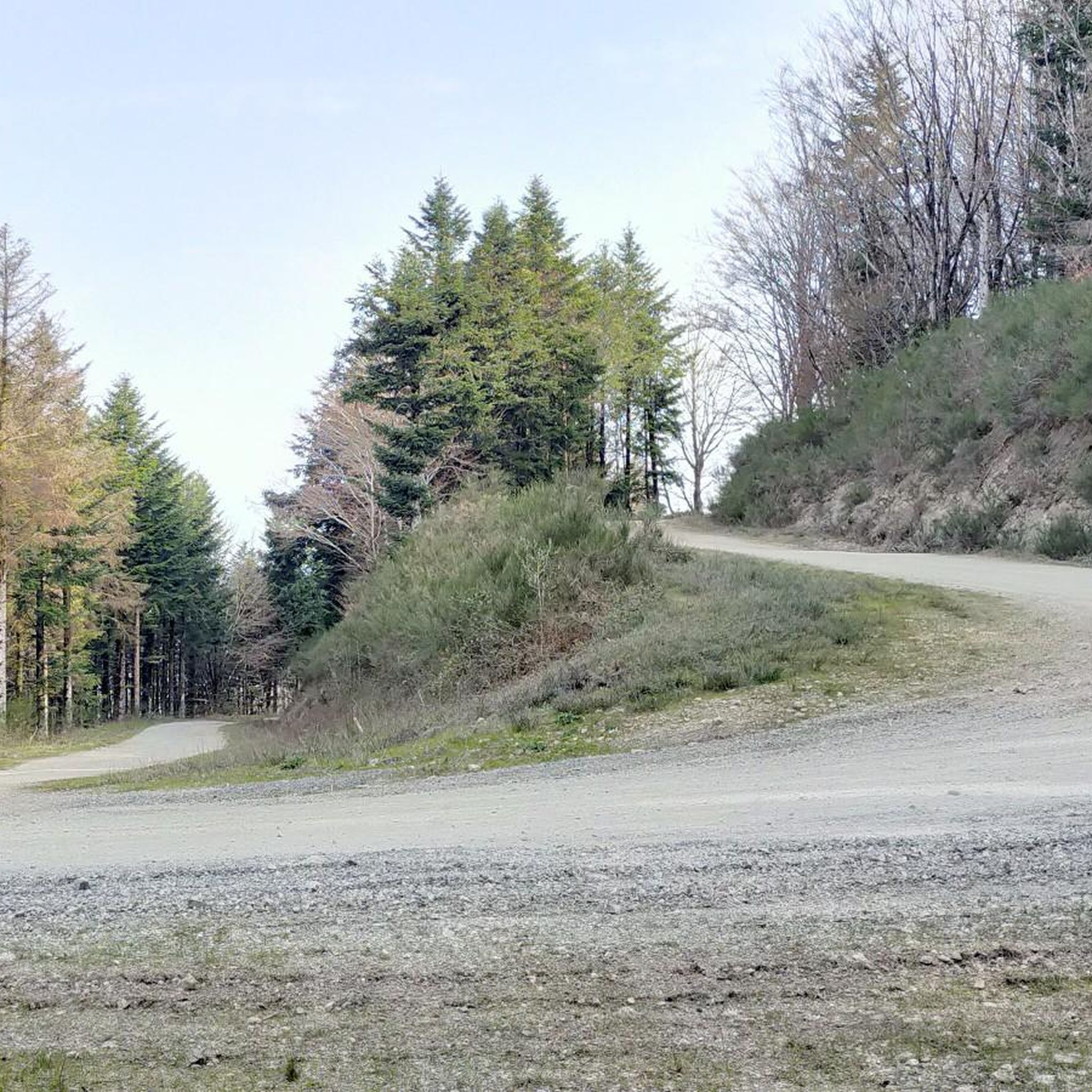
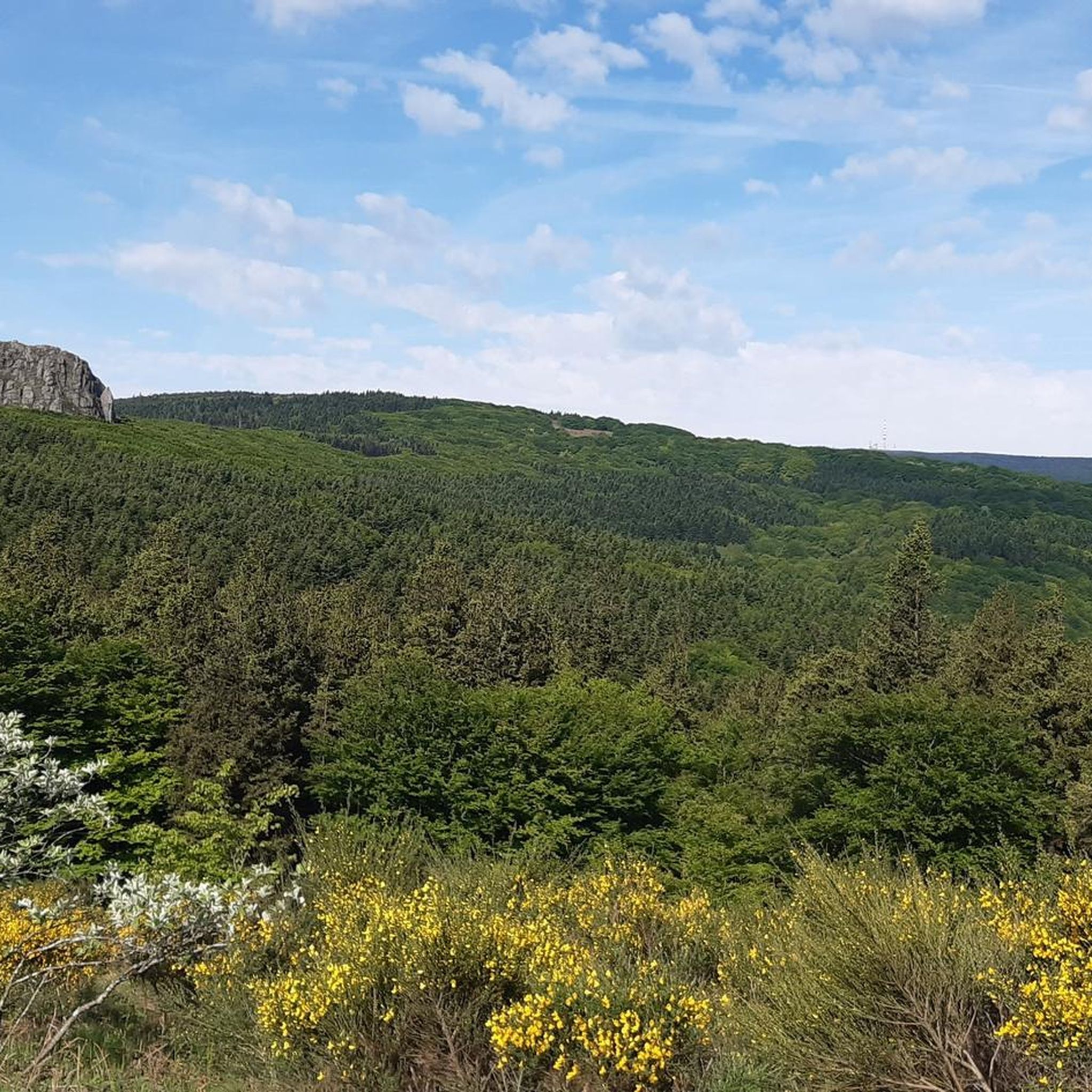
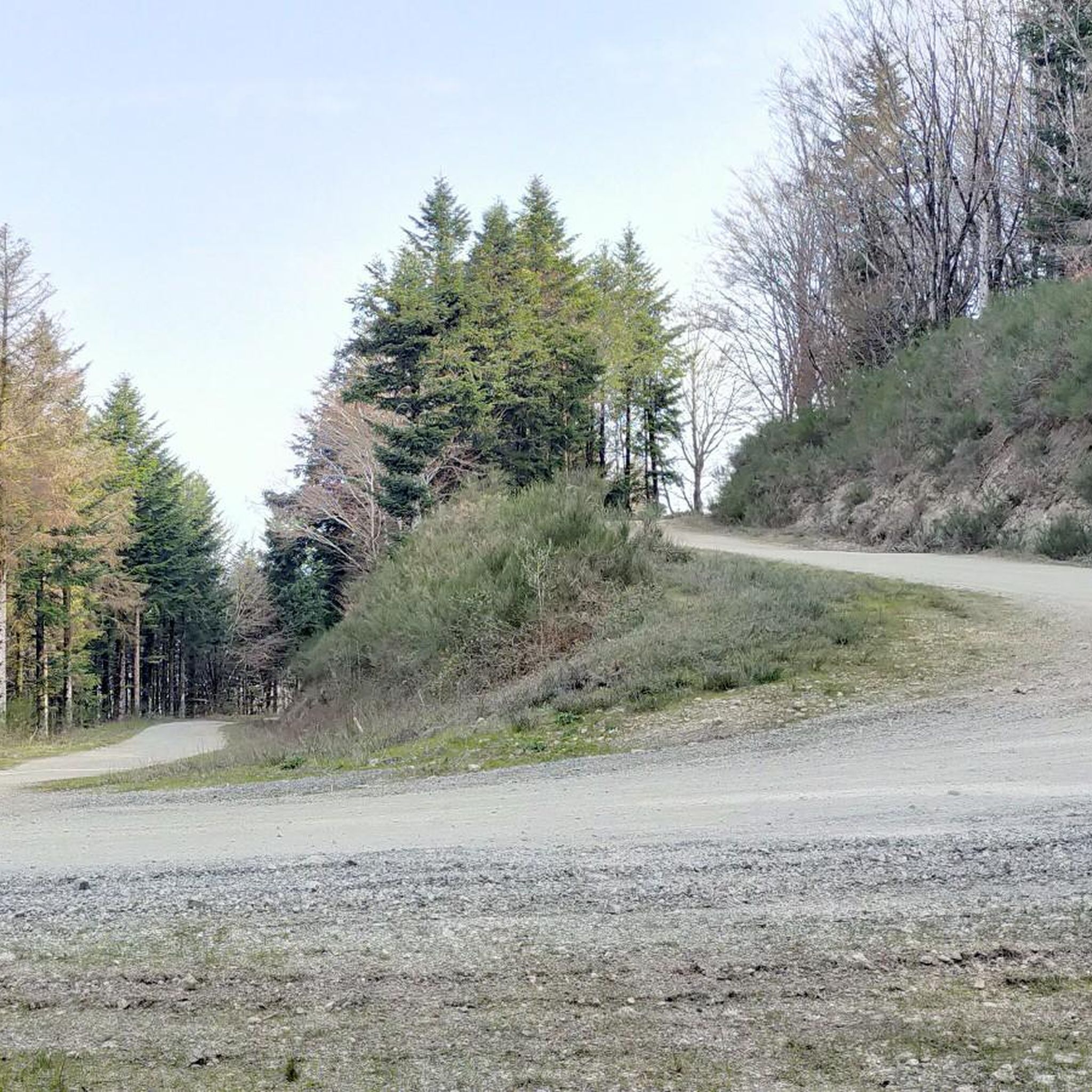
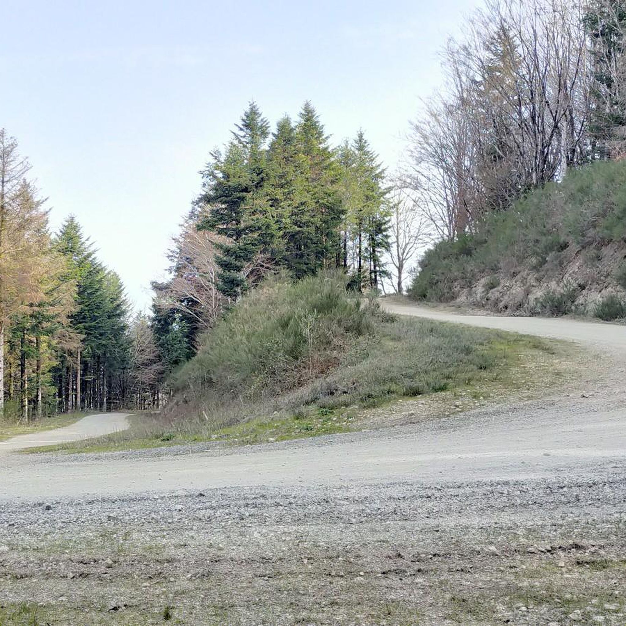
We like to compare, the Pic de Nore is a small Ventoux, its climbs from Mazamet or Villeneuve-Minervois are not as steep as that of the Ventoux from Bédoin but they still have to be earned. They are 17 and 22 km respectively, have an average gradient of 5.5% and 4.56%, with a maximum gradient of 11.8% and 10%. For my part, I chose to join Pradelles-Cabardès via the forests from Limousis, passing in particular the Soulanes de Nore, I was treated to some good slopes with a double-digit percentage ... Two legends would explain its name: in the first it is the fairy Nore who, annoyed by the damage caused to the crops by the Cers wind, would have planted her pike in the ground there, and as if by magic the rocks would have accumulated around to form the Pique de Nore. In the second, the wind of Cers is still blamed for its damage to human crops, not only there, and it is Nore, Bug and Arach who went to complain to Jupiter. Jupiter does not like to be disturbed, he transformed Nore into a mountain and Bug and Arach into the summit of Bugarach ...
3
0


Very nice walk, varied nature, beautiful view, very pretty heather ☺️ Partially shaded.
1
1

Despite its low altitude (only 1,211 meters), the Pic de Nore, located in the Aude department and the highest point of the Montagne Noire, can experience extremely harsh weather conditions. You can't miss its imposing red and white television antenna.
0
0

very beautiful 12th century castle. It is possible to access it from the Passa païs greenway via a small bridge over the Thoré. More information about the castle: https://fr.m.wikipedia.org/wiki/Ch%C3%A2teau_de_Sauveterre
0
0

Small lake created in 1973 as a reserve for fire fighting. It offers a pleasant site near the Pic de Nore.
1
0

This charming little town is part of the Montagne Noire. It is surrounded by remarkable nature made up of five natural areas of ecological, faunal and floristic interest. To rest, observe nature or swim in the lake located below the village, Pradelles-Cabardès is a very pleasant stop.
1
0
Frequently Asked Questions
How many running routes are available in Sauveterre?
Sauveterre offers a wide variety of running routes, with over 60 options available. These include routes of varying difficulty, from moderate paths to more challenging trails.
What kind of terrain can I expect on jogging routes around Sauveterre?
The terrain around Sauveterre is quite diverse. You'll find gentle riverside paths along the Gave and Rhône, historic village routes, and smooth greenways on rehabilitated old railway lines. Some routes also feature more challenging sections with notable elevation changes, offering panoramic views over plains and distant mountains.
Are there any family-friendly running trails in Sauveterre?
Yes, Sauveterre has options suitable for families. The region's greenways, like the Salies-de-Béarn Greenway, offer smooth, asphalted paths that are great for a relaxed run with children. The footpath circling L'Ile de la Glere also provides a pleasant, easy-going environment amidst lush greenery.
Can I bring my dog on the running trails in Sauveterre?
Many of the natural paths and greenways around Sauveterre are suitable for running with dogs, provided they are kept under control. Always check local signage for specific restrictions, especially in protected areas or near livestock. The varied terrain, from riverside paths to forested sections, offers plenty of enjoyable options for you and your canine companion.
Are there any circular running routes in Sauveterre?
Yes, Sauveterre features several circular running routes. For a moderate option, consider the Château de Sauveterre loop from Lacabarède, which is about 8.1 km. Another popular moderate choice is the Saint-Amans-Valtoret – Fox Mural on the Voie Verte loop from Sauveterre, covering 11.1 km.
What are some notable landmarks or points of interest I can see while running in Sauveterre?
Sauveterre's running routes often pass by historical sites and natural attractions. You can enjoy views of the medieval town, including the Bridge of the Legend and the Monréal Tower. For natural beauty, the footpath around L'Ile de la Glere is a highlight. For those seeking elevated views, the Pic de Nore offers stunning panoramas, accessible via routes like the Pic de Nore Summit – Pic de Nore loop from Les Estrabauts Hauts.
Are there challenging running trails for experienced runners?
Absolutely. For experienced runners seeking a challenge, Sauveterre offers several difficult routes with significant elevation gains. The Pic de Nore Summit – Pic de Nore loop from Les Estrabauts Hauts is a demanding 22.1 km trail with over 1100 meters of ascent, leading to rewarding summit views. Another difficult option is the Mémorial des Aviateurs loop from Albine, which is 14.0 km long.
What do other runners say about jogging in Sauveterre?
The running routes in Sauveterre are highly rated by the komoot community, with an average score of 3.9 stars from 13 reviews. Runners often praise the diverse landscapes, from serene riverside paths to historical backdrops and the well-maintained greenways, providing a stimulating environment for outdoor pursuits.
Are there any running routes that follow old railway lines?
Yes, Sauveterre is known for its rehabilitated old railway lines transformed into greenways, such as the Salies-de-Béarn Greenway. These asphalted paths provide smooth surfaces and scenic views, often incorporating bridge highlights and varied terrain through fields and forested areas. The Saint-Amans-Valtoret – Fox Mural on the Voie Verte loop from Sauveterre is a great example of a route utilizing a greenway.
What is the best time of year to go running in Sauveterre?
Sauveterre offers enjoyable running conditions throughout much of the year. Spring and autumn provide pleasant temperatures and vibrant scenery. In warmer months, riverside paths and routes with shaded sections, like those around L'Ile de la Glere, are particularly appealing. For those seeking more challenging runs in the Pyrenees, accessibility depends on the season, with summer and early autumn being ideal.
Are there any running routes with views of the Pyrenees?
While Sauveterre itself offers views over plains and distant mountains, for more direct and dramatic views of the Pyrenees, you would typically need to venture closer to the mountain range. Some of the more challenging routes with significant elevation, like those leading to Pic de Nore, might offer glimpses of the distant Pyrenean peaks on clear days, providing a stunning backdrop to your run.
Most popular attractions around Sauveterre

Get inspired with the komoot mobile app


Explore more
Browse the best Running Trails & Routes in other regions.
