The best walks and hikes around Durenque
4.2
(150)
895
hikers
42
hikes
Hiking around Durenque offers diverse landscapes, including rolling hills, dense forests of fir and beech, and agricultural plateaus. The region is characterized by riverbanks along the Durenque stream and Le Jabru, providing varied terrain for outdoor activities. Elevations range, with the Lagast mountains reaching 927 meters at the Pyramide du Lagast. These features create a network of trails suitable for different hiking preferences.
Best hiking trails around Durenque
- The most popular hiking route is The Tower of Peyrebrune - loop…
Last updated: July 2, 2026
5.0
(4)
27
hikers
8.77km
02:29
190m
200m
Moderate hike. Good fitness required. Easily-accessible paths. Suitable for all skill levels.
4.5
(31)
382
hikers
Moderate hike. Good fitness required. Easily-accessible paths. Suitable for all skill levels.

Sign up for free
5.0
(1)
12
hikers
Hard hike. Very good fitness required. Easily-accessible paths. Suitable for all skill levels.
5.0
(1)
8
hikers
13.1km
03:43
300m
300m
Moderate hike. Good fitness required. Easily-accessible paths. Suitable for all skill levels.
5.0
(1)
15
hikers
Moderate hike. Good fitness required. Easily-accessible paths. Suitable for all skill levels.
Get access to more routes and recommendations from other explorers.
Sign up for free
Already have an account?
Our route recommendations are based on thousands of hikes, rides, and runs completed by other people on komoot.
Start today with a free account
Your next adventure awaits.
Login or Signup

Tips from the Community

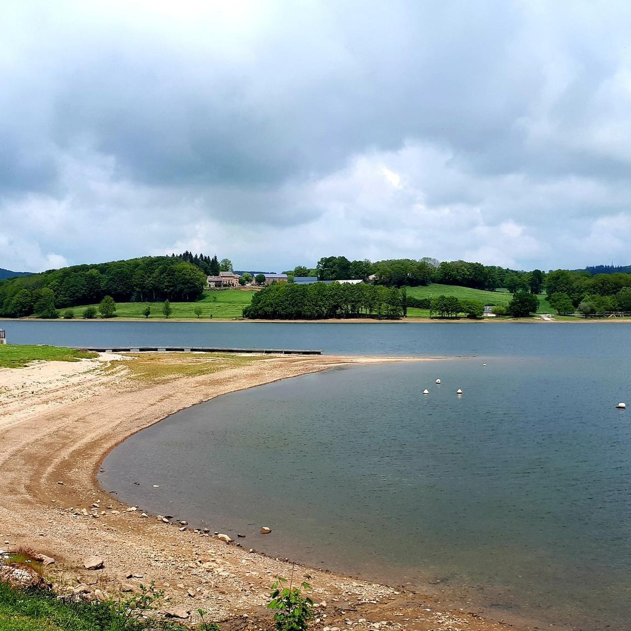
Great view of the Lac de Villefranche-de-Panat
0
0

The Tower of Peyrebrune is the vestige of a medieval fortress perched at an altitude of 913m above the Alrance valley and which was the seat of the Seigniory of Peyrebrune. The tower has been restored and the site is very pleasant.
0
0

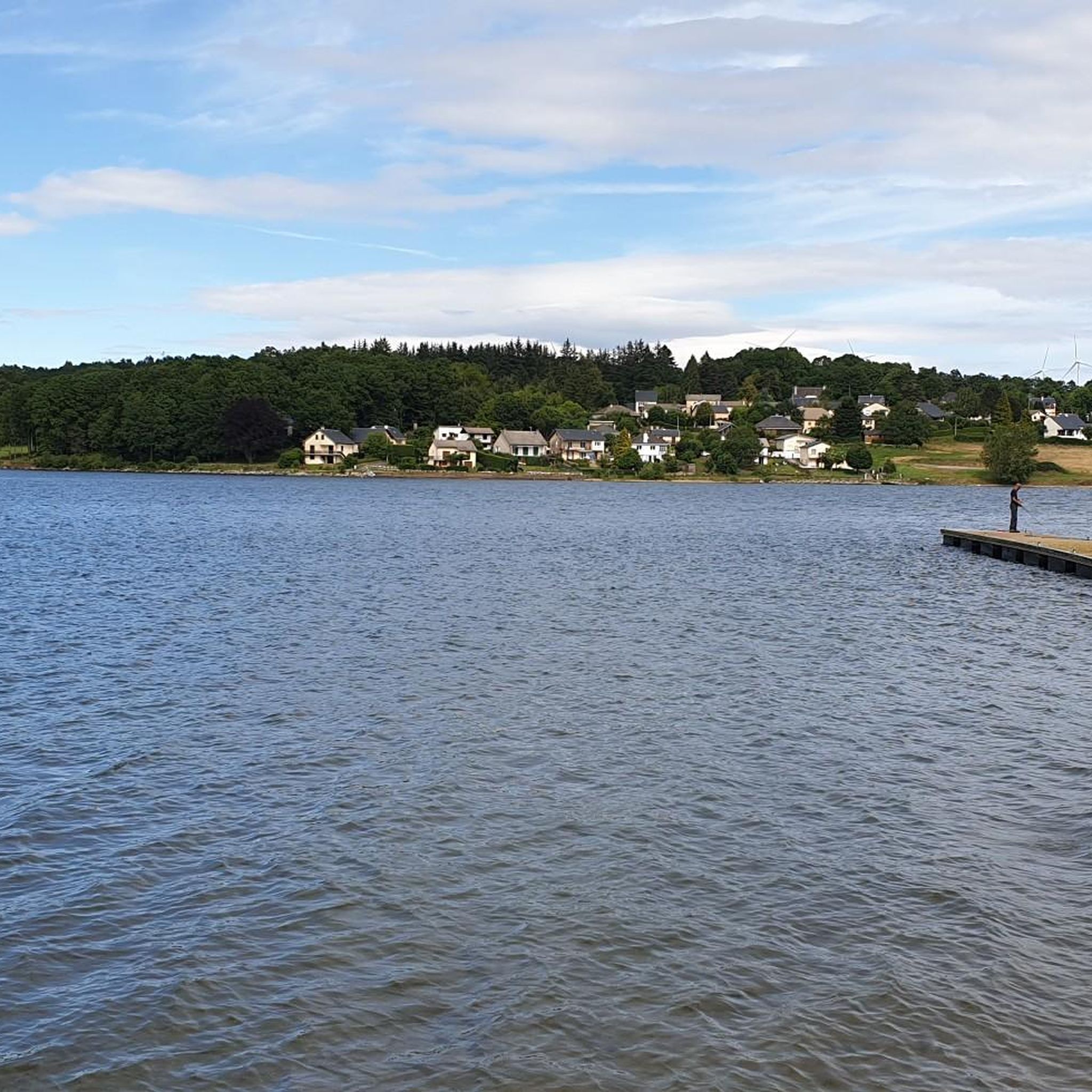
Villefranche-de-Panat lake is an artificial lake created in the 1950s. It extends over four kilometers in length and offers many possibilities for activities: swimming, boating, fishing, pedal boating, canoeing, paddleboarding, and even seaplane for the more adventurous.
1
0

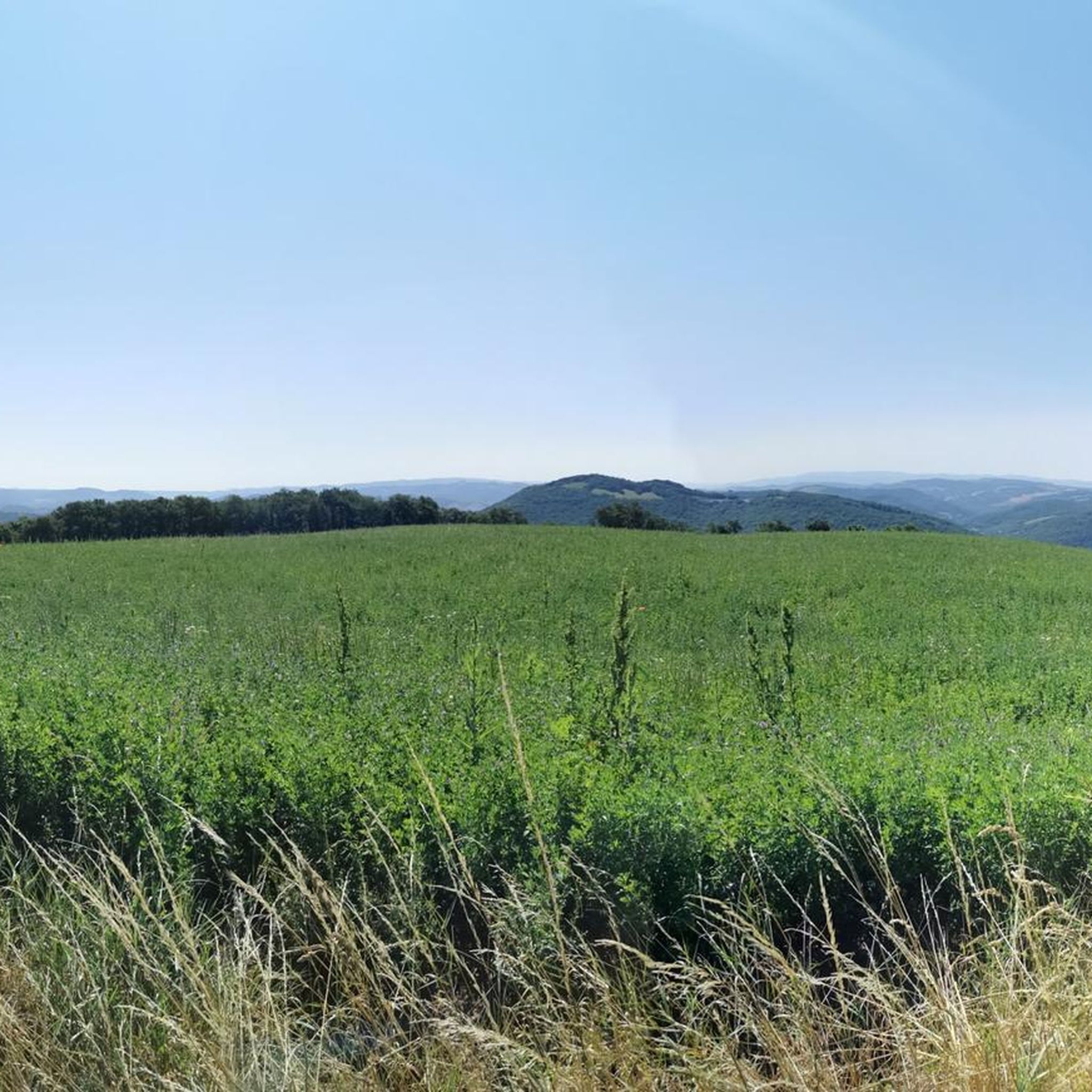
The Peyrebrune tower dominates a magnificent panorama comprising among others the VilleFranche lake. Accessible by a small sloping road (it's narrow but very rolling, watch out for cars), The reward on arrival is worth the effort. The tower, the ruins as the site are very clean, the welcome by an excellent volunteer, in short, whether for the performance during the tour of the lake or for the discovery, go ahead. Note that a water point and toilets are present. More information on the association's website; https://www.seigneurs-du-rouergue.fr/chateaux/tour-de-peyrebrune/
0
0
Frequently Asked Questions
How many hiking trails are available around Durenque?
There are over 40 hiking routes recorded on komoot for the Durenque area, catering to various skill levels. This includes 15 easy trails, 22 moderate routes, and 4 more challenging options.
Are there family-friendly hiking options in Durenque?
Yes, Durenque offers several trails suitable for families. The region research mentions a 'Family Hike' that is 5 km long with a moderate elevation gain, taking about 1 hour and 30 minutes. These routes are generally easy and allow for a pleasant outing with children.
Can I bring my dog on the hiking trails in Durenque?
Most hiking trails in Durenque are generally dog-friendly, but it's always recommended to keep your dog on a leash, especially when passing through agricultural areas or near livestock. Ensure you carry water for your pet, particularly during warmer months.
Are there any circular walks around Durenque?
Yes, many of the trails in Durenque are designed as circular routes, allowing you to start and end at the same point. For example, the Signal de La Gaste loop from Durenque is a moderate 13.5 km circular path that takes you through forests and open areas.
What are some easy hikes for beginners in the Durenque area?
For beginners or those seeking an easy stroll, Durenque has 15 easy routes. The 'Verdier Plateau Trail' mentioned in the region research is a good option, being 9 km long with a 245m elevation gain, taking around 2 hours and 45 minutes. It offers pleasant views without being too strenuous.
What interesting landmarks or attractions can I see along the hiking trails?
Durenque's trails offer a mix of natural beauty and historical sites. You can explore the Tour de Peyrebrune, visit the historical Moulin de Roupeyrac, or discover the ruins of the ancient village 'Vieux Durenque' amidst a forest. The Lake Villefranche-de-Panat is also a notable feature near some routes.
What is the best time of year to go hiking in Durenque?
The best time to hike in Durenque is typically during spring (April to June) and autumn (September to October) when the weather is mild and the landscapes are vibrant with either blooming flowers or rich fall colors. Summer can also be pleasant, but it's advisable to start early to avoid the midday heat.
Where can I find parking for hiking trailheads in Durenque?
Parking is generally available near the starting points of popular trails in Durenque and surrounding villages. Specific parking information can often be found on local tourism websites or detailed komoot tour descriptions. It's advisable to check the starting point of your chosen route for designated parking areas.
Are there any historical sites to explore while hiking?
Yes, Durenque is rich in history. The 'Roupeyrac Mill Trail' leads to the Moulin de Roupeyrac, the birthplace of poet François Fabié, and the 'Vieux Durenque,' an ancient village in ruins. Additionally, the 'Lagast Pyramid Trail' takes you to the Pyramide du Lagast, a historical marker from 1799 used for meridian measurements.
What do other hikers say about the trails in Durenque?
The hiking routes in Durenque are highly rated by the komoot community, with an average score of 4.2 stars from over 160 reviews. Hikers often praise the diverse landscapes, including rolling hills, dense forests, and scenic river valleys, as well as the well-maintained paths suitable for various ability levels.
Are there any trails that offer panoramic views?
Absolutely. The 'Roupeyrac Mill Trail' offers panoramic views of the Lagast plateau, Durenque, and the Roupeyrac forest. For even more expansive vistas, the 'Lagast Pyramid Trail' leads to the Pyramide du Lagast, the highest point of the Lagast mountains at 927m, providing a unique panorama of the surrounding hills.
Are there any trails near lakes or rivers?
Yes, the Durenque region is characterized by riverbanks along the Durenque stream and Le Jabru. The Lake Villefranche-de-Panat – Tour de Peyrebrune loop from Villefranche-de-Panat is a longer trail that leads through lake surroundings, offering beautiful waterside views.
Most popular attractions around Durenque

Get inspired with the komoot mobile app


Explore more
Browse the best Hikes in other regions.
