The best walks and hikes around Presles-En-Brie
4.4
(304)
1,582
hikers
185
hikes
Hiking around Presles-En-Brie offers exploration of the tranquil Marsange valley, characterized by cultivated plains and preserved Briard landscapes. The terrain features gentle elevations and a mix of open spaces and historical pathways. The area integrates natural features with historical elements, such as the ancient Pont Romain and the Route Royale, providing diverse walking environments. These elements contribute to a rural setting suitable for various outdoor activities.
Best hiking trails around Presles-En-Brie
- The most popular hiking route is Carrefour de la Ferrandière – Planchette Pond loop from Gretz-Armainvilliers, a 13.2 miles (21.2 km) trail that takes 5 hours 21 minutes to complete. This difficult route connects significant points within the local landscape.
- Another top favourite among local hikers is Footbridge over the Marsange – Arche à Tournan-en-Brie loop from Tournan, a moderate 5.8 miles (9.3 km) path. This trail follows the Marsange valley, offering views of the river and surrounding countryside.
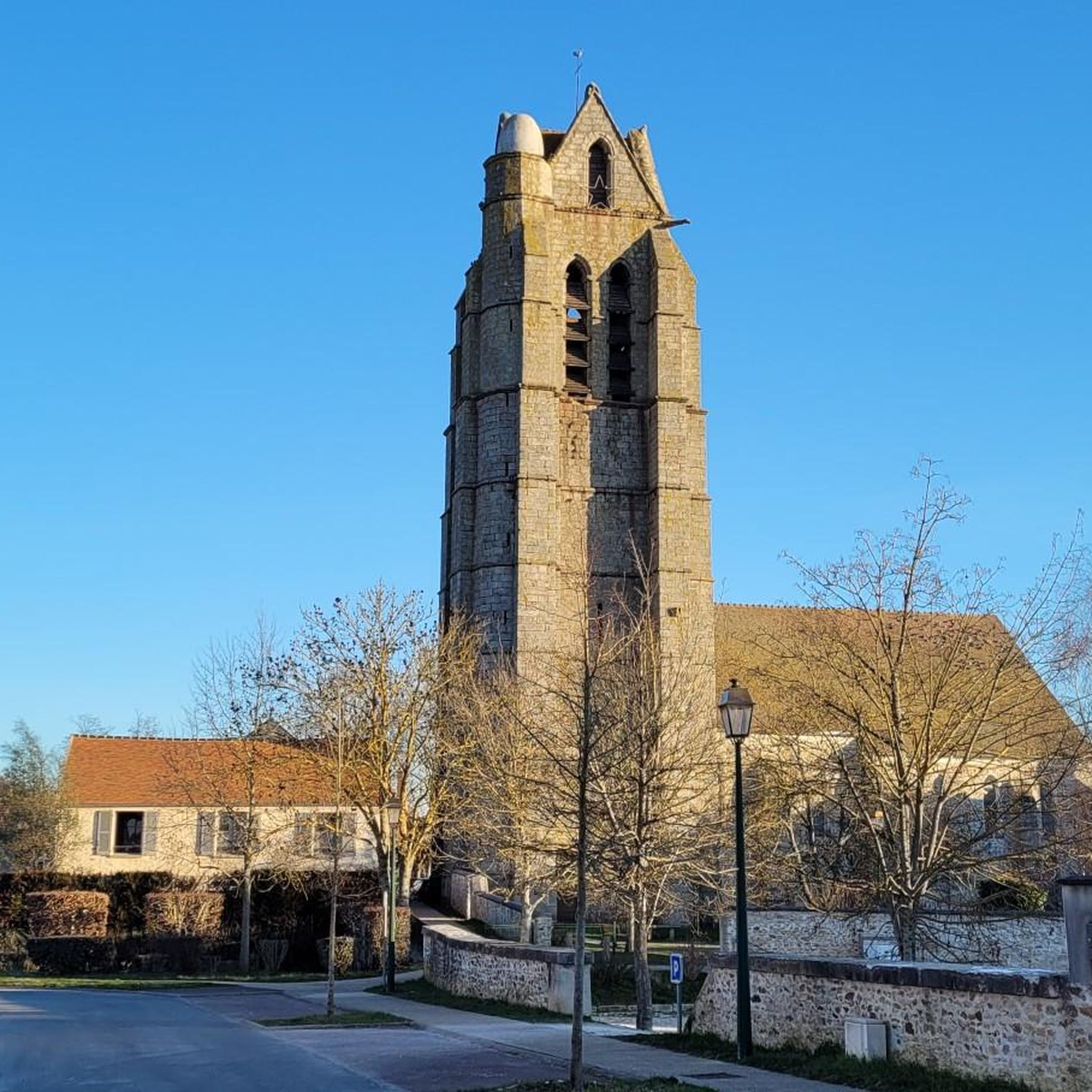
- Local hikers also love the Presles-en-Brie Church loop from Presles-en-Brie, a 2.1 miles (3.4 km) trail leading through the village and its immediate surroundings, often completed in about 52 minutes.
- Hiking around Presles-En-Brie is defined by its cultivated plains, the Marsange river valley, and historical forest roads like the Route Royale. The network offers options for various ability levels, from easy village loops to longer, more challenging routes.
- The routes in Presles-En-Brie are highly rated by the komoot community with an average score of 4.37 stars from over 200 reviews. More than 1000 hikers have used komoot to explore Presles-En-Brie's varied terrain.
Last updated: October 22, 2026
4.4
(9)
51
hikers
Hard hike. Very good fitness required. Easily walkable paths.
4.0
(4)
20
hikers
Moderate hike. Good fitness required. Easily walkable paths.

5.0
(1)
17
hikers
3.42km
00:52
10m
10m
Easy hike. Easily walkable paths.
4.4
(5)
19
hikers
7.33km
01:52
20m
20m
Easy hike. Easily walkable paths.
3.0
(3)
6
hikers
Moderate hike. Good fitness required. Easily walkable paths.
Get access to more routes and recommendations from other explorers.
Already have an account?
Our route recommendations are based on thousands of hikes, rides, and runs completed by other people on komoot.
Start today with a free account
Your next adventure awaits.



Tips from the Community

Often hidden by parked vehicles. But, if you look carefully, you will find it. Located behind the first spot just before the corner of the fence.
0
0

Very beautiful forest paths, easy to ride on gravel in good weather
0
0

Parking at the end of rue du Marais in Favieres, along the Marsange river. Early return direct via a pedestrian, cycle, and secure path along the D10 (-2.5 km). Partially shaded route between woods and fields. Possibly trousers/insect repellent for grassy paths. And possibly slippery on rainy days.. Few people this sunny Sunday, with the singing of little birds. Tournan town center worth seeing.
0
0

Crossroads in the heart of the Armainvilliers forest. Very beautiful site for rolling along shaded paths.
1
0

Beautiful little passage in the woods.
0
0
The arch overlooks a small square with a few shops... ideal for a drink next to the fountain.
0
0
Former Tournan wash house, built between 1776 and 1783.
0
0
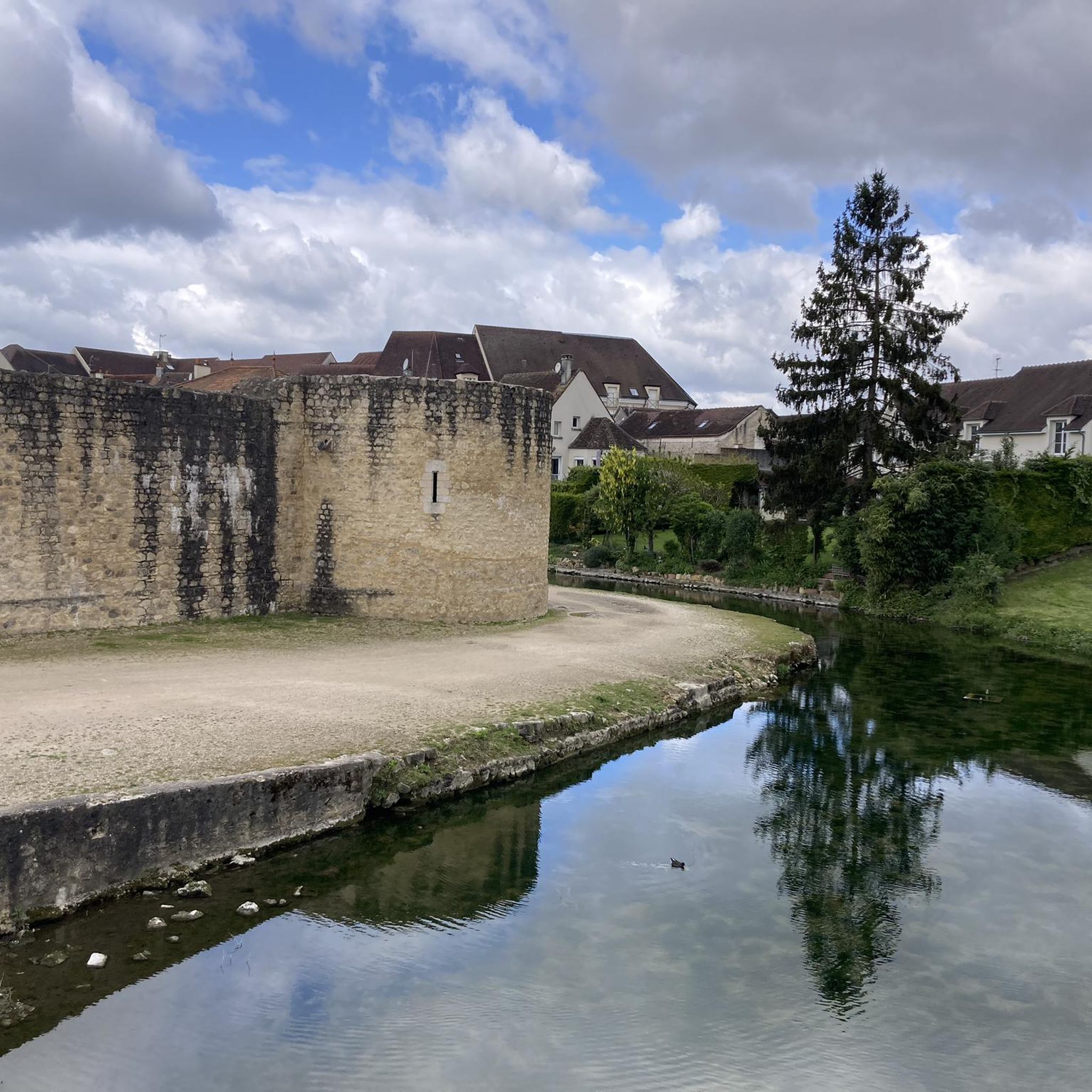
A hidden wash house if you don't pay attention, at the corner of rue Marcel Micheau and rue de la Montagne, next to the site of the old Saint Denis Church. “CITY OF TOURNAN-EN-BRIE LAVOIR DES REMPARTS - 18th century The Duke of Penthièvre, Grand Admiral of France, last lord of Tournan, received control of Waters and Forests from King Louis XVI in 1776. Invested with this responsibility, he built with his own funds, "rue du four à ban" currently rue Marcel Micheau, this sandstone wash house fed by a source captured in the old ditches which surrounded the town. A spillway drains the water through a passable gallery passing under the street and the houses which line it to reach the Marsange, a river crossing Tournan-en-Brie. This construction was completed in 1783, the date shown on the frontispiece of the building. This washhouse will be used by residents to rinse, in clear water, laundry previously washed on the often muddy banks of the Marsange." [Source: Explanatory plaque on the site]
0
0
Frequently Asked Questions
How many hiking trails are available around Presles-En-Brie?
There are over 150 hiking routes in the Presles-En-Brie area, offering a wide range of options for all skill levels. This includes 61 easy routes, 87 moderate routes, and 7 more challenging trails.
What kind of terrain can I expect on hikes in Presles-En-Brie?
The terrain around Presles-En-Brie is characterized by tranquil rural landscapes, including expansive cultivated plains and the picturesque Marsange river valley. You'll find gentle elevations, historical forest roads like the Route Royale, and a mix of open spaces and wooded paths, providing a serene backdrop for exploration.
Are there any family-friendly hiking options in Presles-En-Brie?
Yes, Presles-En-Brie offers several easy routes suitable for families. For example, the Presles-en-Brie Church loop from Presles-en-Brie is a short 3.4 km trail that takes about 52 minutes, perfect for a leisurely family walk through the village and its immediate surroundings.
Can I bring my dog on the hiking trails in Presles-En-Brie?
Many trails in Presles-En-Brie are suitable for dogs, especially those that traverse open fields and forest paths. It's always recommended to keep your dog on a leash, especially near cultivated areas or wildlife, and to check specific route details for any restrictions.
What historical landmarks or natural features can I see while hiking?
The region is rich in historical and natural points of interest. You can explore the historic Route Royale, an ancient forest road, or visit the Roman bridge over the Yerres. Other notable sites include the unique Chapelle de la Pointe, lavoir et garde-manger, with its large oak tree growing on the pantry's roof.
Are there any circular hiking routes available?
Yes, many routes in Presles-En-Brie are designed as loops. An example is the Footbridge over the Marsange – Arche à Tournan-en-Brie loop from Tournan, a moderate 9.3 km path that follows the Marsange valley, offering scenic views and returning to your starting point.
What do other hikers say about the trails in Presles-En-Brie?
The routes in Presles-En-Brie are highly rated by the komoot community, with an average score of 4.4 stars from over 200 reviews. Hikers often praise the tranquil rural environment, the blend of historical monuments and natural features, and the well-maintained paths that offer diverse walking experiences.
What is the best time of year to go hiking in Presles-En-Brie?
Presles-En-Brie offers pleasant hiking conditions throughout much of the year. Spring and autumn provide mild temperatures and beautiful scenery with blooming flowers or colorful foliage. Summer is also suitable, though it can be warmer, while winter offers a different, serene experience, especially on the well-sheltered forest paths.
Are there any longer, more challenging hikes for experienced trekkers?
Yes, for those seeking a longer challenge, the area offers routes like the Carrefour de la Ferrandière – Planchette Pond loop from Gretz-Armainvilliers. This difficult 21.2 km trail takes approximately 5 hours and 21 minutes to complete, connecting significant points within the local landscape.
How accessible are the hiking trails by public transport?
While some routes may start near villages with public transport links, access to many trailheads in this rural area often benefits from personal transport. It's advisable to check local bus or train schedules to nearby towns like Tournan-en-Brie or Gretz-Armainvilliers and plan your route accordingly.
Are there places to park near the trailheads?
Parking availability varies by trailhead. In villages like Presles-en-Brie or near popular starting points for loops, you can often find designated parking areas. For more remote trails, roadside parking might be an option, but it's always best to check specific route information or local signage before you go.
Are there any castles or châteaux to visit near the hiking routes?
Yes, the region features several historical castles. You can find information about places like Château des Marmousets or Château du Vivier, which add a historical dimension to your visit and can often be combined with nearby walks.
Most popular routes around Presles-En-Brie
Most popular attractions around Presles-En-Brie

Get inspired with the komoot mobile app


Explore more
Browse the best Hikes in other regions.
