The best road cycling routes around La Bâtie-Montsaléon
4.4
(205)
3,485
riders
86
rides
Road cycling routes around La Bâtie-Montsaléon traverse the diverse landscapes of the Southern French Alps, offering a varied terrain for cyclists. The region is characterized by roads with light traffic, scenic views, and notable geological formations such as the marls around the Col d'Espréaux. Cyclists can explore challenging mountain passes and enjoy the picturesque backdrop of the Alpine environment, with nearby lakes and charming villages like Serres providing additional points of interest.
Best road cycling routes around La Bâtie-Montsaléon
- The…
Last updated: October 25, 2026
5.0
(2)
54
riders
74.5km
04:00
1,440m
1,440m
Hard road ride. Very good fitness required. Mostly well-paved surfaces and easy to ride.
4.0
(1)
23
riders
121km
06:22
2,260m
2,260m
Hard road ride. Very good fitness required. Mostly well-paved surfaces and easy to ride.

4.6
(13)
133
riders
68.5km
03:19
920m
920m
Hard road ride. Very good fitness required. Mostly well-paved surfaces and easy to ride.
4.4
(16)
120
riders
26.3km
01:17
410m
410m
Moderate road ride. Good fitness required. Mostly well-paved surfaces and easy to ride.
4.3
(7)
108
riders
94.9km
05:04
1,850m
1,850m
Hard road ride. Very good fitness required. Mostly well-paved surfaces and easy to ride.
Get access to more routes and recommendations from other explorers.
Already have an account?
Our route recommendations are based on thousands of hikes, rides, and runs completed by other people on komoot.
Start today with a free account
Your next adventure awaits.

Tips from the Community

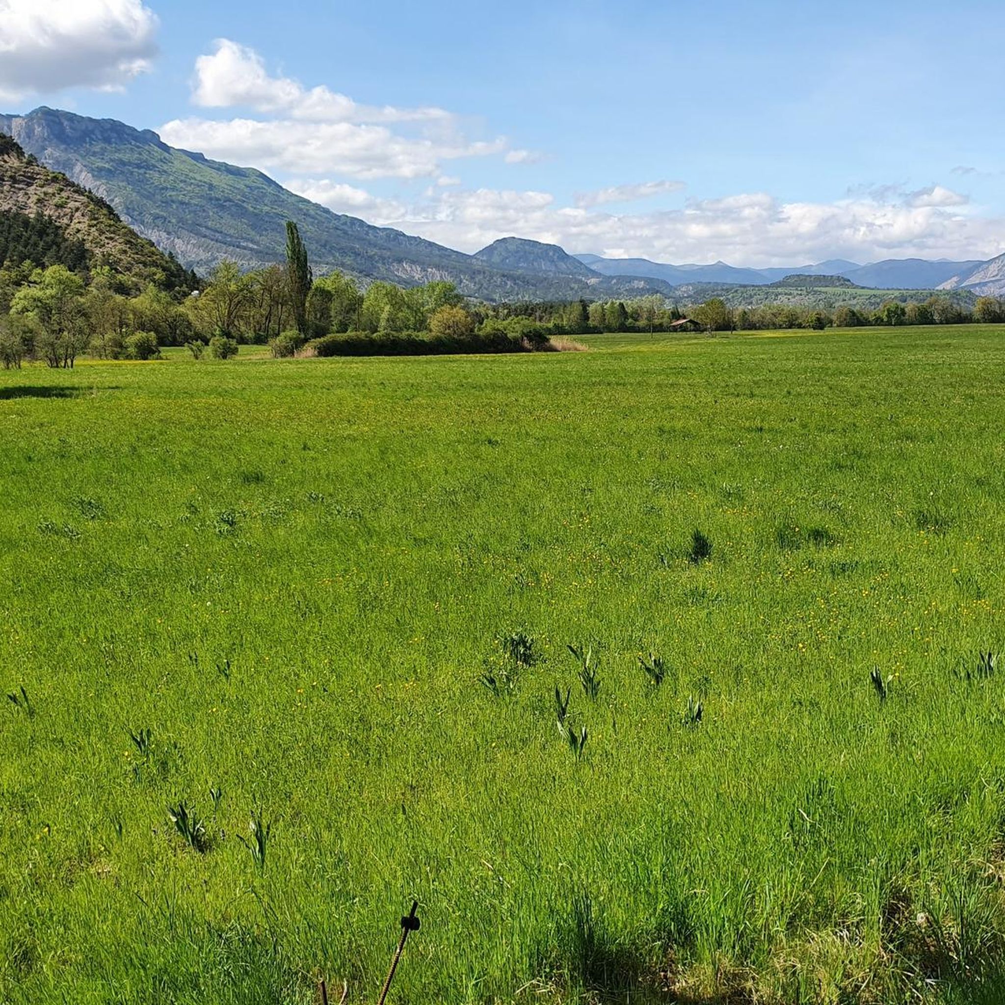
Discovery of a small part of the loop. I really enjoyed this route and it made me want to discover the loop in its entirety.
0
0

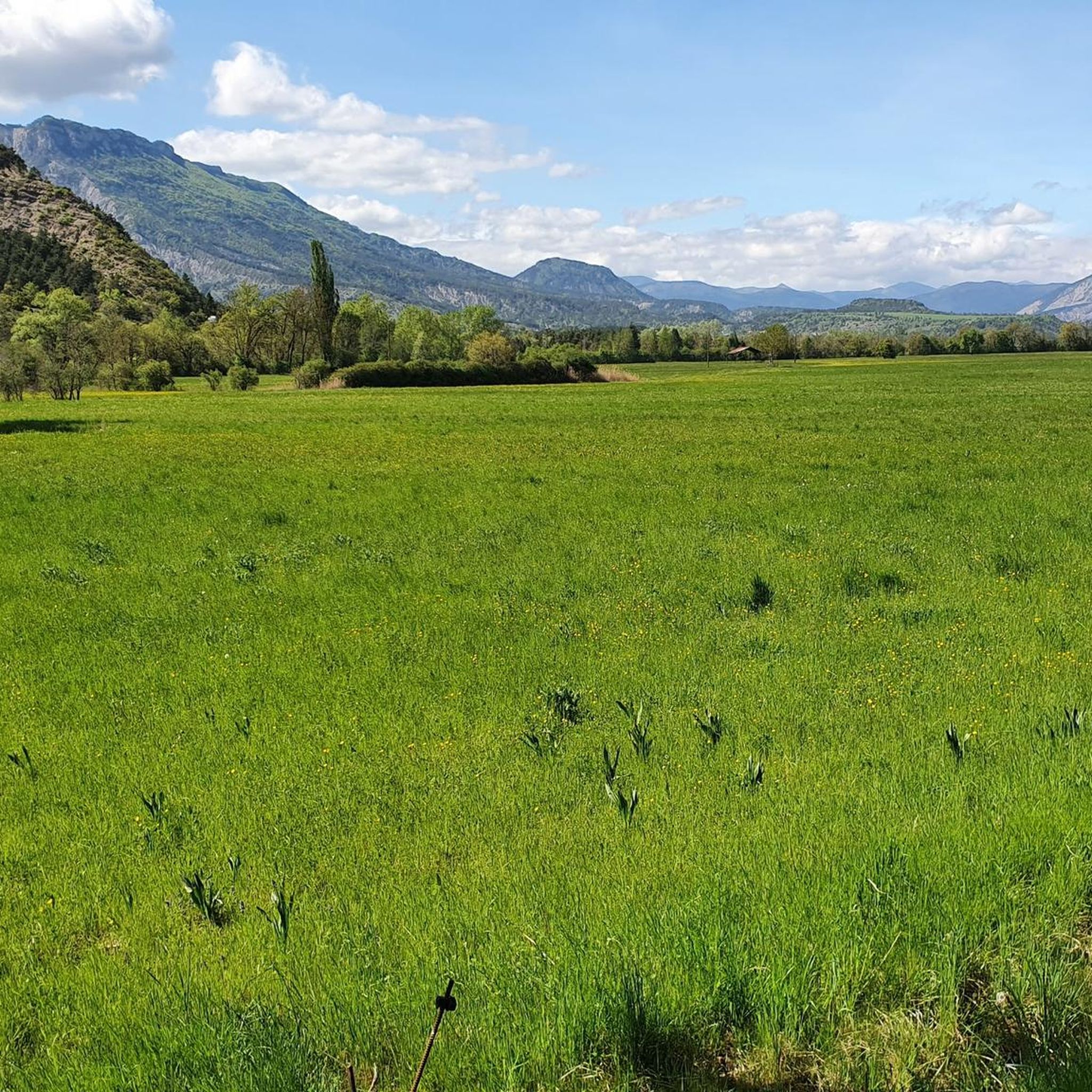
Building maintained in excellent condition.
10
0
The Haut-Buëch circuit is a 77 km loop around Veynes, which crosses several mountain passes. Classified as difficult, it mainly takes place on shared roads (100%), has an elevation gain of 827 meters, and is recommended for experienced cyclists. The estimated travel time is about 6 hours and 29 minutes. Points of interest along the route include the Veynes railway workers' ecomuseum and the castle of Aspremont.
7
0
The Col de Verniers via Châteauneuf d'Oze is a climb located in the Hautes-Alpes region. This climb is 2.4 km long, with a total elevation gain of 124 m. The Col de Verniers via Châteauneuf d'Oze has an average gradient of 5.1%.
22
0
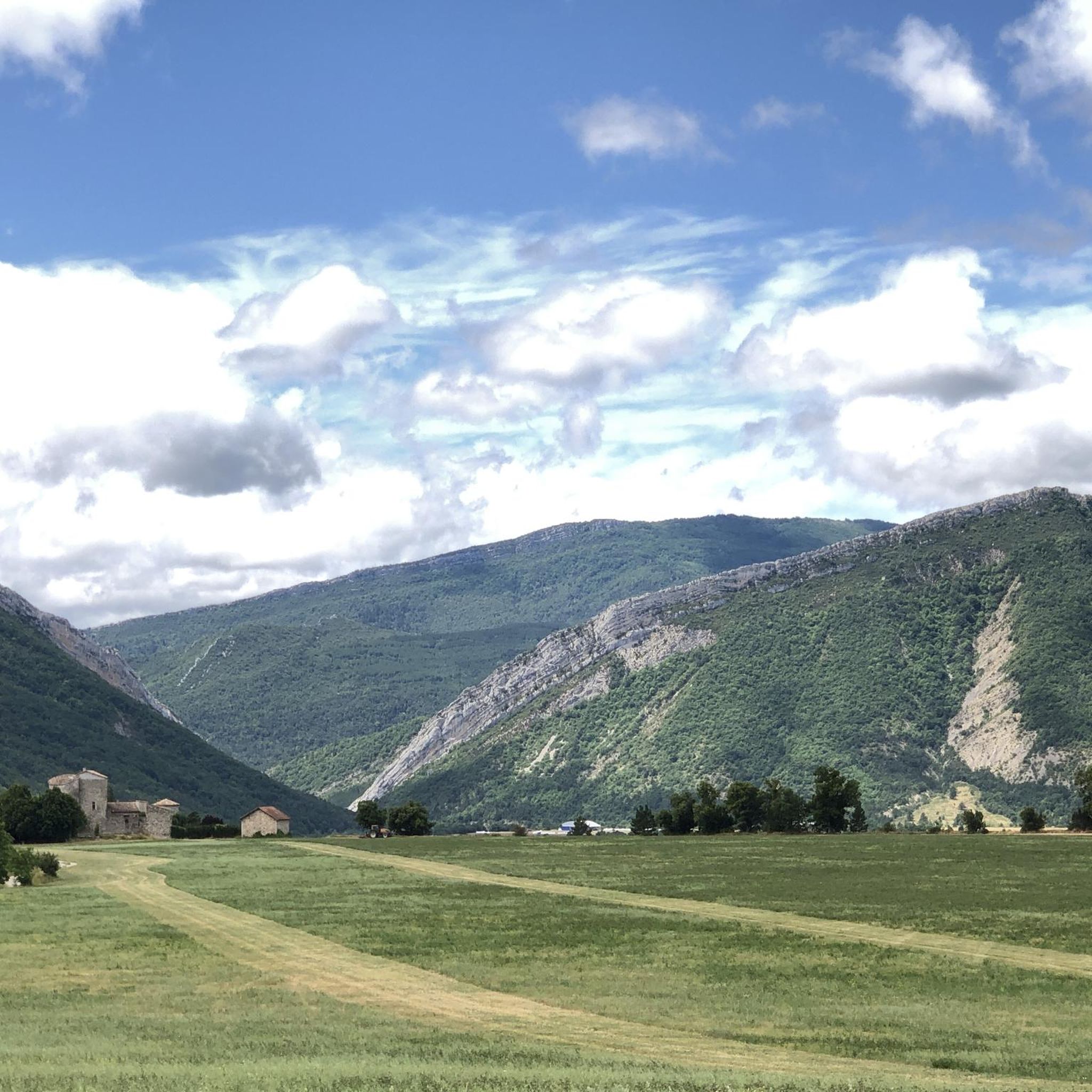
Ancient building maintained in excellent condition.
7
0
For cyclists it's a climb: * Length: approx. 7 km * Elevation gain: approx. 320 m * Average gradient: 4.6% * Maximum gradient: approx. 5%
8
0
The Col de Soubeyrand (987–994 m, depending on the map source) is located in the Drôme department, in the Auvergne-Rhône-Alpes region, within the Baronnies provençales massif. It connects the Eygues valley with the Ennuye valley, between the villages of Rémuzat and Sainte-Jalle.
11
0
The Col de Peyruergue (794 m) is a pass located in the Drôme department, within the Parc naturel régional des Baronnies provençales. It connects the Ennuye valley with that of the Ouvèze, near Saint-Sauveur-Gouvernet.
10
0
Frequently Asked Questions
What types of road cycling routes can I find around La Bâtie-Montsaléon?
The region offers a diverse range of road cycling routes, from moderate climbs to difficult, long-distance challenges. You'll find routes traversing scenic valley roads, challenging mountain passes, and areas featuring unique marls geological formations, all set against the backdrop of the Southern French Alps.
How many road cycling routes are available in the La Bâtie-Montsaléon area?
There are over 75 road cycling routes available around La Bâtie-Montsaléon. These include a mix of difficulties, with 6 easy routes, 34 moderate routes, and 37 difficult routes to explore.
Are there any easy road cycling routes suitable for beginners or a more relaxed ride?
Yes, there are 6 easy road cycling routes in the area. While specific names aren't highlighted as 'easy' in the main guide, routes with lower elevation gains and shorter distances are generally more accessible. For example, the View of L'Aujour – Verniers Pass loop from La Bâtie-Montsaléon is a moderate option at 39.4 km with less elevation compared to the more challenging loops.
What are some notable landmarks or natural features I might encounter on a road cycling route?
Road cyclists can experience several unique features. The Espréaux Pass is a highlight, known for its distinctive marls geological formations. You might also pass by the scenic The Shores of the Lake or the historical ruins of Clausonne Abbey. Other passes like Col de Carabès and Faye Pass also offer spectacular views.
What do other cyclists say about road cycling in La Bâtie-Montsaléon?
The road cycling routes in La Bâtie-Montsaléon are highly rated by the komoot community, with an average score of 4.5 stars from over 120 reviews. Cyclists often praise the quiet roads, spectacular Southern Alps scenery, and the rewarding challenges of the mountain passes.
Are there any circular road cycling routes in the area?
Yes, many of the routes are designed as loops, allowing you to start and finish in the same location. Examples include the challenging Haut-Buëch Loop, the extensive Three Cols of the Baronnies Provençales Loop, and the Col de la Haute Beaume loop from Serres.
What is the best time of year for road cycling around La Bâtie-Montsaléon?
The region, being part of the Southern French Alps, offers a luminous and pleasant setting for cycling. While specific seasonal advice isn't provided, the area is ideal for a sporting vacation in contact with nature, suggesting spring, summer, and early autumn are generally excellent times to visit for road cycling, avoiding potential winter snows at higher elevations.
Are there any charming villages or towns to visit along the cycling routes?
Yes, nearby villages like Serres offer cultural stops. Serres, with its medieval town treasures, arcaded square, sculpted doors, and Romanesque church, provides a picturesque break and is often a starting point or feature on routes such as the Col de la Haute Beaume loop from Serres.
What are the road conditions like for cycling in La Bâtie-Montsaléon?
The roads around La Bâtie-Montsaléon are generally well-suited for road cycling, characterized by little traffic and very scenic views. This makes for a more enjoyable and safer cycling experience as you explore the diverse landscapes.
Can I find routes that feature multiple mountain passes?
Absolutely. The region is known for its challenging mountain passes. The Three Cols of the Baronnies Provençales Loop is a prime example, featuring multiple challenging passes and expansive views across the Southern Alps.
Are there any routes that start from Serres?
Yes, Serres is a common starting point for several routes. For instance, the Col de la Haute Beaume loop from Serres and the La Charce Castle – Col de Carabès loop from Serres both begin in this charming medieval village.
What kind of elevation gain can I expect on the more difficult routes?
The more difficult routes in La Bâtie-Montsaléon can feature significant elevation gains. For example, the Haut-Buëch Loop has an elevation gain of over 1,400 meters, while the Three Cols of the Baronnies Provençales Loop involves over 2,200 meters of climbing.
Most popular routes around La Bâtie-Montsaléon
Most popular attractions around La Bâtie-Montsaléon

Get inspired with the komoot mobile app


Explore more
Browse the best Road cycling routes in other regions.
