The best running trails around Montclus
4.7
(20)
331
runners
52
runs
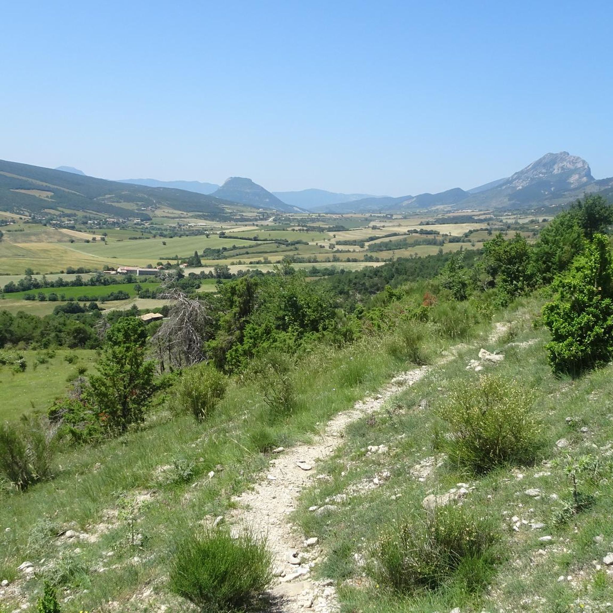
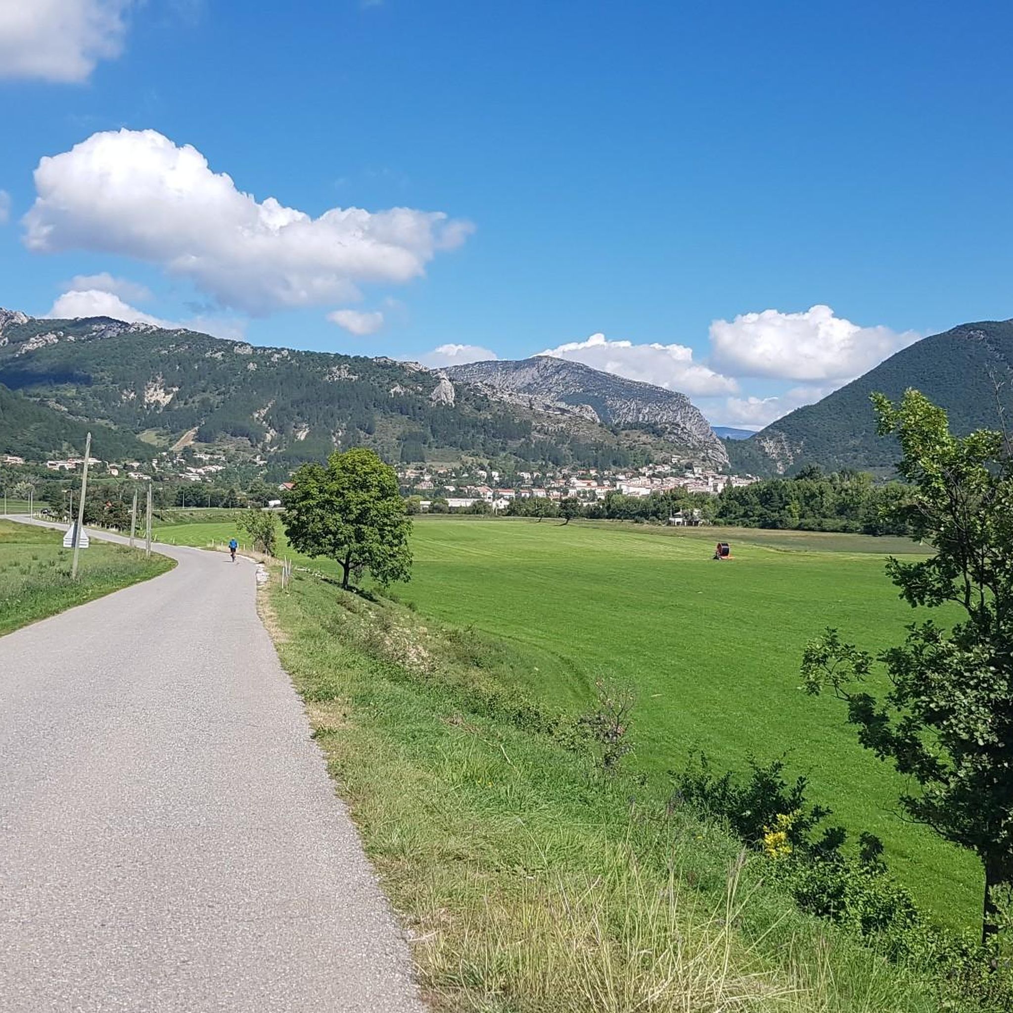
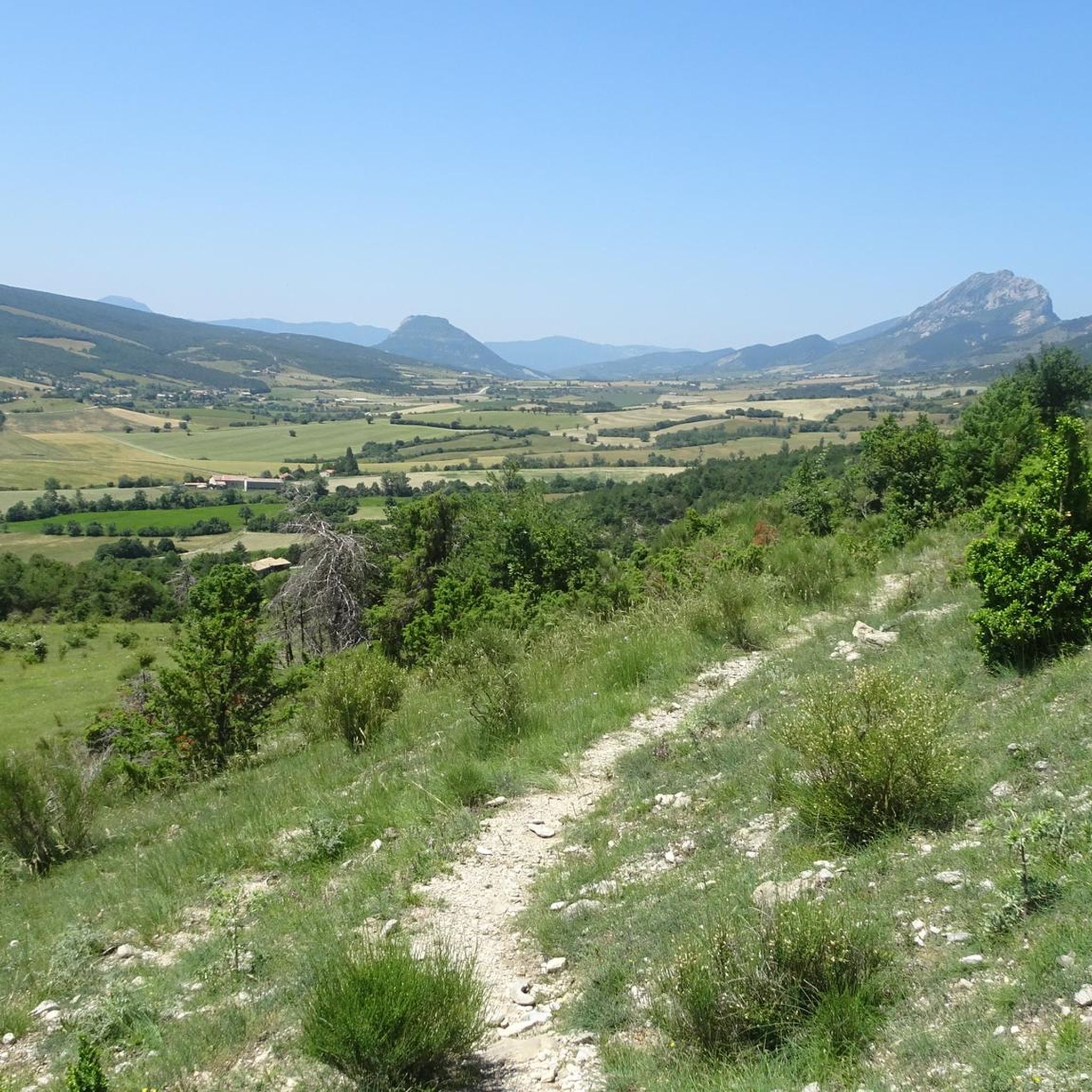
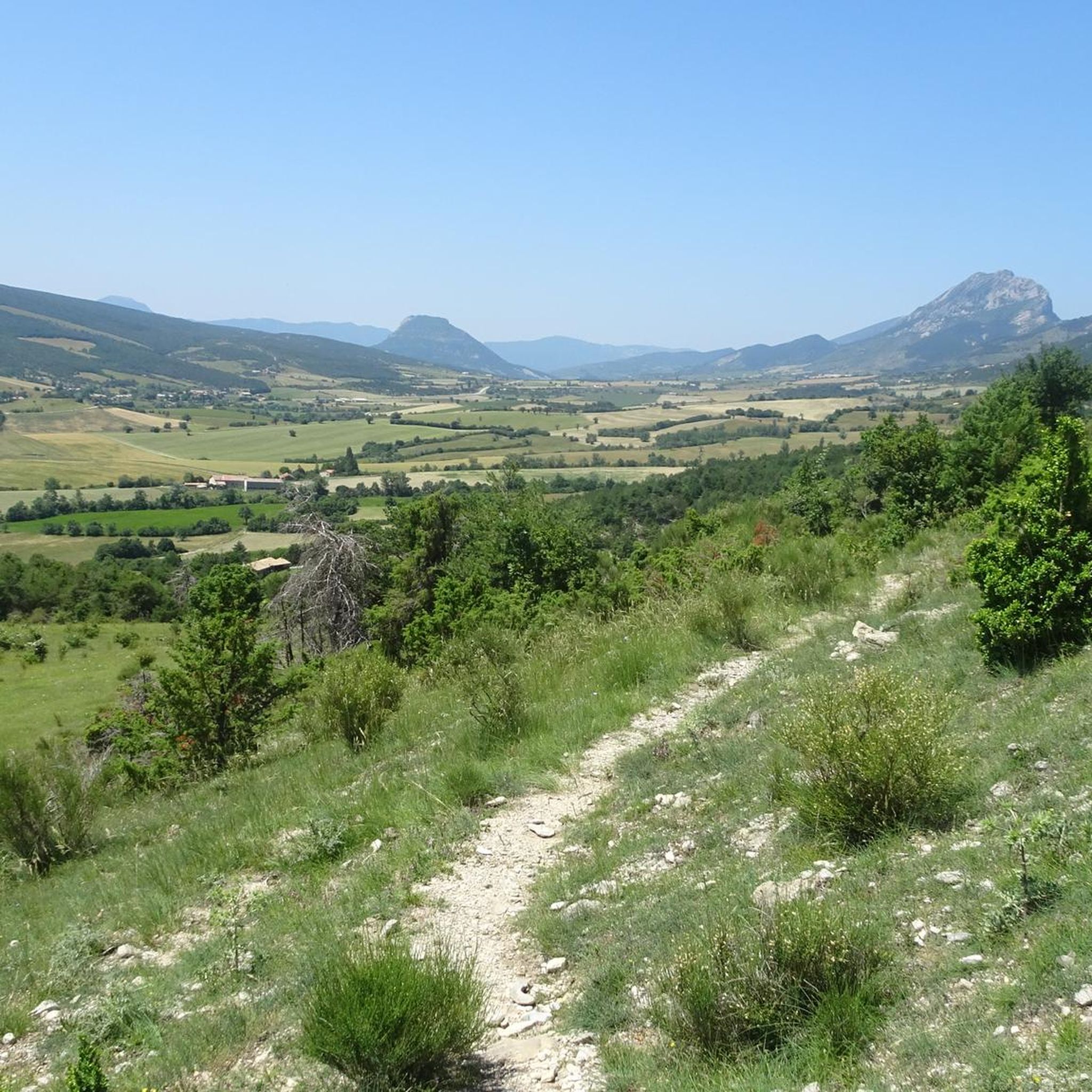
Jogging routes around Montclus traverse a landscape characterized by varied terrain, including significant elevation changes and rural pathways. The region features a mix of open areas and potentially wooded sections, with routes often connecting small settlements. Runners can expect to encounter a range of gradients, from gentle inclines to more challenging ascents. The area offers a natural setting for running, with routes that explore the local environment.
Best jogging routes around Montclus
- The most popular jogging route is Café Terrace…
Last updated: July 8, 2026
5.0
(1)
14
runners
9.80km
01:01
50m
50m
Moderate run. Good fitness required. Mostly paved surfaces. Suitable for all skill levels.
12
runners
9.29km
01:46
770m
770m
Hard run. Very good fitness required. Mostly paved surfaces. Suitable for all skill levels.

Sign up for free
10
runners
9.68km
01:48
740m
740m
Hard run. Very good fitness required. Mostly paved surfaces. Suitable for all skill levels.
7
runners
10.4km
01:06
70m
70m
Moderate run. Good fitness required. Mostly paved surfaces. Suitable for all skill levels.
11
runners
7.30km
01:09
370m
370m
Hard run. Very good fitness required. Sure-footedness, sturdy shoes and alpine experience required.
Get access to more routes and recommendations from other explorers.
Sign up for free
Already have an account?
Our route recommendations are based on thousands of hikes, rides, and runs completed by other people on komoot.
Start today with a free account
Your next adventure awaits.
Login or Signup

Tips from the Community

Serres is a municipality in southeastern France, located in the department of Hautes-Alpes, in the Provence-Alpes-Côte d’Azur region.
18
0

This very beautiful path joins the Col de Saumane at an altitude of 1,030 meters. The Notre-Dame de Saumane chapel, also called Notre-Dame-des-Anges, is located along the road.
0
1
Located at an altitude of 660 meters and leaning against the Pignolette rock, the village of Serres dominates the valley and its river. This small medieval town boasts some treasures: the arcaded square, the sculpted doors, the Romanesque church... As you stroll through its streets, you discover its rich history.
4
0
Frequently Asked Questions
How many running routes are available around Montclus?
There are over 50 running routes around Montclus, offering a diverse range of experiences. You'll find a mix of moderate and difficult trails to explore the region's varied terrain.
Are there any easy jogging routes suitable for beginners in Montclus?
While Montclus is known for its hilly terrain and many moderate to difficult trails, there is at least one easy route available. Most routes offer a good challenge with varied elevation profiles.
What are some challenging running trails for experienced runners in Montclus?
For a demanding experience, consider the Arambre – Le Trou de la Lune loop from Serres, a difficult 4.8-mile (7.8 km) path with significant elevation gain. Another challenging option is the Serres – Chemin Haut de Saumane loop from Serres, a 7.2 km route with over 370 meters of ascent.
Are there any circular jogging routes in the Montclus area?
Yes, many of the running routes around Montclus are circular, allowing you to start and finish at the same point. For example, the Café Terrace in Serres – Serres loop from Le Bersac is a popular moderate circular trail.
What kind of terrain can I expect on jogging routes around Montclus?
Jogging routes in Montclus feature varied terrain, including significant elevation changes and rural pathways. You'll encounter a mix of open areas and potentially wooded sections, with gradients ranging from gentle inclines to more challenging ascents.
What do other runners enjoy most about jogging in Montclus?
The running routes in Montclus are highly rated by the komoot community, with an average score of 4.9 stars. Reviewers often praise the varied terrain, the natural setting, and the challenging elevation profiles that make for an engaging run.
Are there any interesting landmarks or attractions to see along the running routes?
Yes, the region offers several points of interest. You might encounter settlements like Orpierre or Serres, or natural features such as the Gorges du Riou. Some routes also offer views of mountain passes like Col de Carabès.
Are there any routes that pass by a lake or water body?
Yes, you can find routes that include water features. The Étang de Pêche loop from Serres is a moderate 11.1 km route that passes by a fishing pond, offering a pleasant change of scenery.
What is the best time of year to go running in Montclus?
Montclus offers running opportunities throughout the year. Spring and autumn provide pleasant temperatures for longer runs, while summer mornings or evenings are ideal to avoid the heat. Winter running can be beautiful, but be prepared for cooler conditions and potentially varied trail surfaces.
Are there any routes that offer good views of the surrounding peaks?
Many routes in the Montclus area provide scenic views of the surrounding mountains. You might catch glimpses of peaks like Le Duffre or enjoy a View from the Summit of Rocher de Saint-Michel on some of the more elevated trails.
Is it possible to find running routes near cafes or places to rest?
Yes, some routes connect to or pass through small settlements where you might find amenities. For instance, the Serres – Café Terrace in Serres loop from Serres is a route that includes a café terrace, perfect for a post-run refreshment.
Most popular attractions around Montclus

Get inspired with the komoot mobile app


Explore more
Browse the best Running Trails & Routes in other regions.
