Top 11 Mountain Passes around Saint-André-De-Rosans
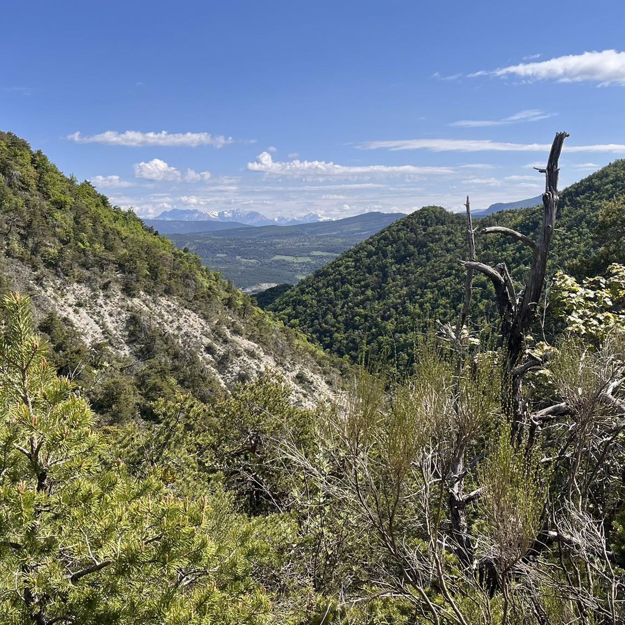
Best mountain passes around Saint-André-De-Rosans are found in the Baronnies Provençales Regional Natural Park, where the Alps meet Provence. This region is characterized by arid ridges, limestone cliffs, and valleys. It offers opportunities for cycling and hiking amidst a landscape of olive groves and lavender fields. The area provides a tranquil sanctuary with mid-mountains and Mediterranean influences.
Best mountain passes around Saint-André-De-Rosans
- The most popular mountain passes is Perty Pass, a mountain pass that culminates at 1302 meters. It…
Last updated: July 10, 2026
Perty Pass
Highlight • Mountain Pass
Translated by Google •
Tip by

Col de Soubeyrand (994 m)
Highlight • Mountain Pass
Tip by

Sign up now to discover places like this
Get recommendations on the best single tracks, peaks, & plenty of other exciting outdoor places.
Sign up for free
Saint-Jean Pass
Highlight • Mountain Pass
Translated by Google •
Tip by

Peyruergue Pass
Highlight • Mountain Pass
Showing Translation
Tip by

Col de Pierre Vesce
Highlight • Mountain Pass
* 📍 Altitude: approximately 1,056 m (some …
Showing Translation
Tip by
Sign up for free to discover even more mountain passes around Saint-André-De-Rosans.
Sign up for free
Already have an account?
Start today with a free account
Your next adventure awaits.
Login or Signup
Tips from the Community

For cyclists it's a climb: * Length: approx. 7 km * Elevation gain: approx. 320 m * Average gradient: 4.6% * Maximum gradient: approx. 5%
5
0
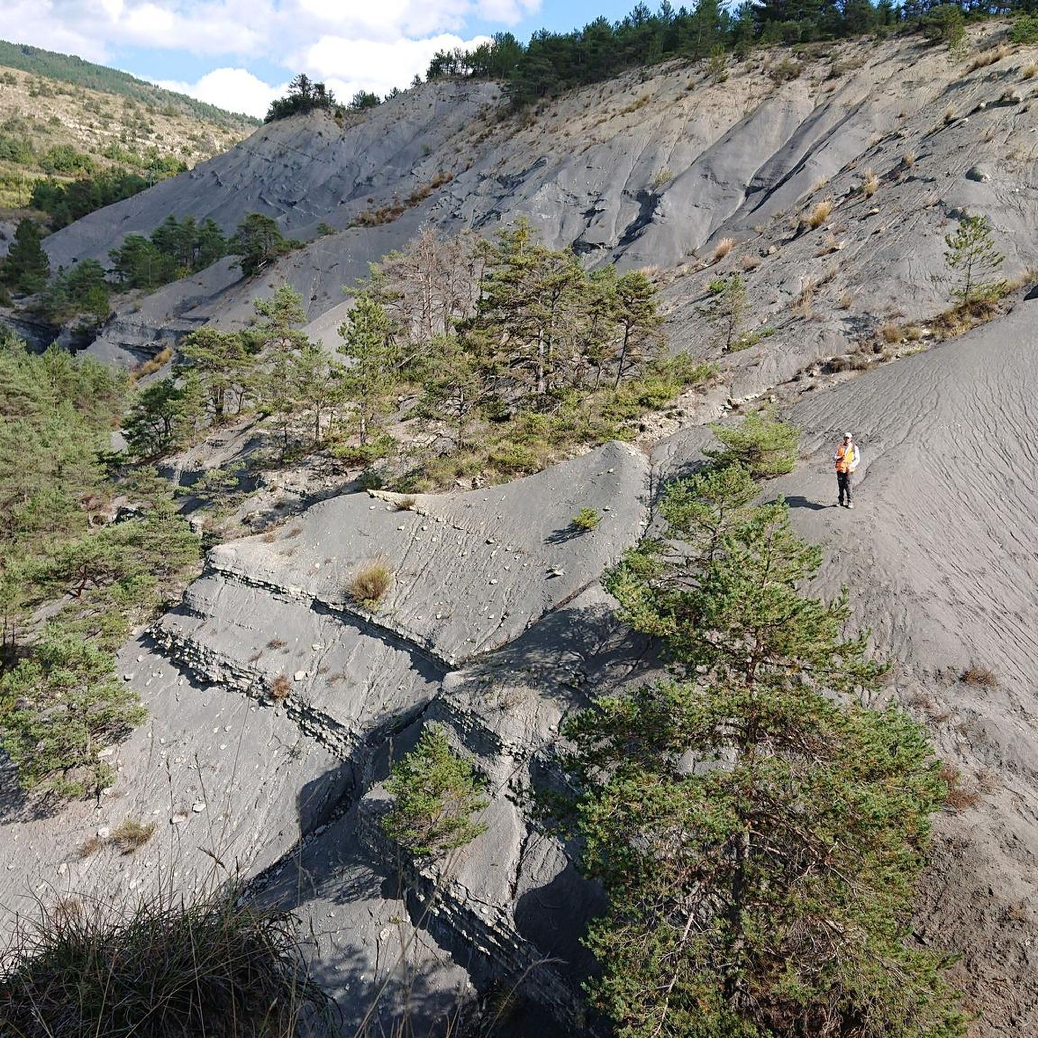
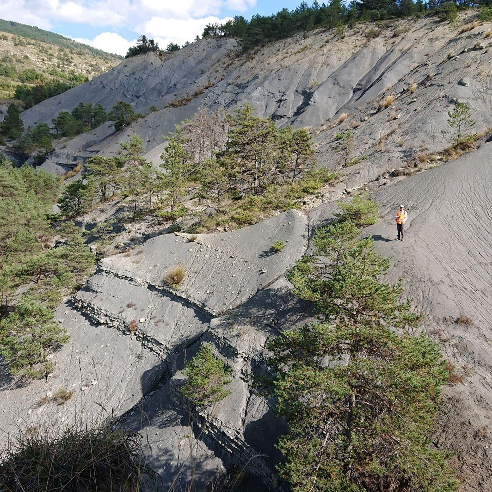
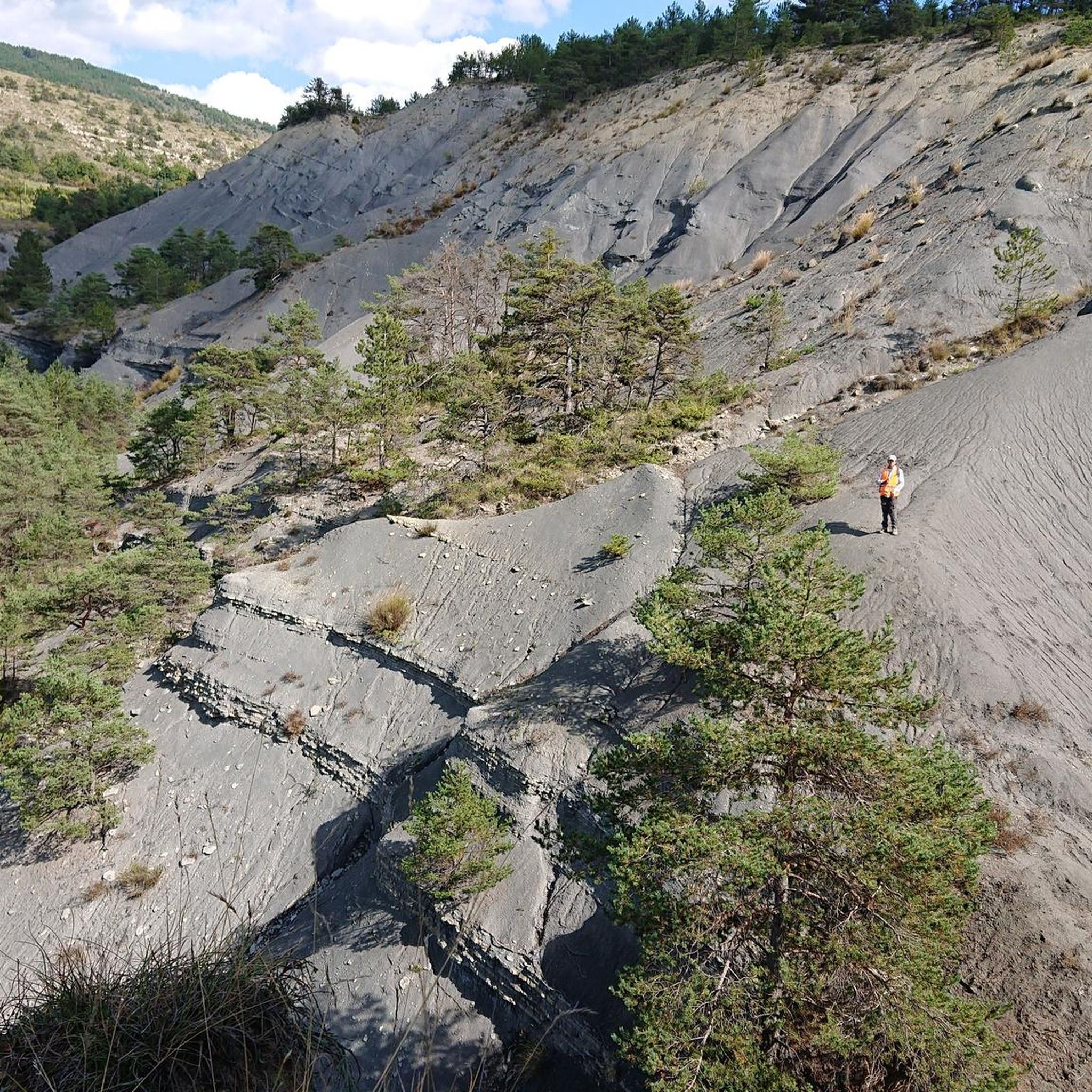
The Col de Soubeyrand (987–994 m, depending on the map source) is located in the Drôme department, in the Auvergne-Rhône-Alpes region, within the Baronnies provençales massif. It connects the Eygues valley with the Ennuye valley, between the villages of Rémuzat and Sainte-Jalle.
7
0
The Col de Peyruergue (794 m) is a pass located in the Drôme department, within the Parc naturel régional des Baronnies provençales. It connects the Ennuye valley with that of the Ouvèze, near Saint-Sauveur-Gouvernet.
6
0
Col de Perty is located in the Baronnies Provençales massif, in the Drôme department, in the Auvergne-Rhône-Alpes region, in the southeast of France. It reaches an altitude of 1,302 m and connects the Ouvèze valley with the Orpierre area, in the Hautes-Alpes.
10
0
Altitude: 1,159 m * Region: Drôme, on the border with the Hautes-Alpes department. * Connects: the villages of Laborel and Lachau with the Céans valley.
5
0
The Col de Pierre-Vesce is a mountain pass located in the Drôme department, in the heart of the Baronnies Provençales massif. Some details: * 📍 Altitude: approximately 1,056 m (some less recent sources mention 1,013 m, but the altitude of the pass on the road is generally indicated as 1,056 m). * 🚴 It connects the municipalities of Laborel and Villebois-les-Pins. * ⛰️ The climb is short but demanding: * from Laborel: 3.3 km with an average gradient of 6.9%; * from Villebois-les-Pins: 2.3 km with an average gradient of 8.7%, with sections reaching almost 14%.
10
0

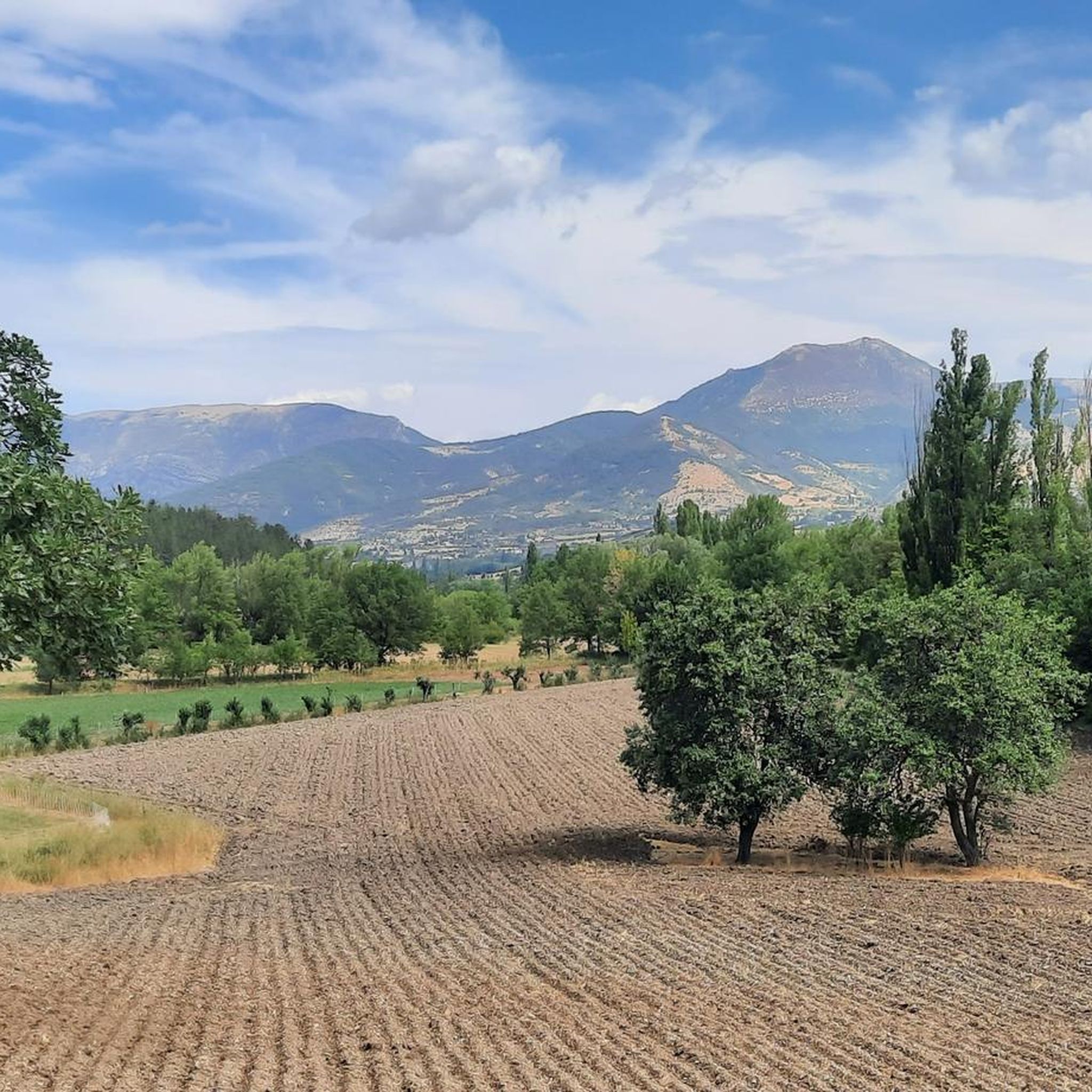
splendid view over the surroundings and particularly over the Ennuyé valley
0
0

Moderate gradient, beautiful views, and a wonderful descent towards St. Auban sur Ouveze
0
1
Frequently Asked Questions
What kind of landscapes can I expect to see when exploring the mountain passes near Saint-André-De-Rosans?
The mountain passes around Saint-André-De-Rosans are situated in the Baronnies Provençales Regional Natural Park, where the Alps meet Provence. You'll encounter a unique blend of arid ridges, dramatic limestone cliffs, and valleys fragrant with lavender and olive trees. The region offers mid-mountain landscapes with Mediterranean influences, providing a tranquil natural sanctuary.
Which mountain passes offer the most rewarding views?
Many passes provide excellent vistas. For instance, Perty Pass, at 1302 meters, offers a breathtaking panorama of the surrounding mountains and Mont Ventoux. Saint-Jean Pass (1159 meters) also provides wide views of the area, while Col des Tourette (1126 m) offers a splendid view of the Chauvet and Maraysse mountains.
Are there cycling routes that include these mountain passes?
Yes, the region is very popular for cycling. Many passes, like Col de Pommerol and Col de Serre Larobe, are known for their cycling challenges. You can find various road cycling routes around Saint-André-De-Rosans, including those that incorporate passes like Col de Carabès and Col des Tourette. Explore more options on the Road Cycling Routes around Saint-André-De-Rosans guide.
How challenging are the mountain passes for cyclists?
The challenge varies by pass. For example, Col de Soubeyrand (994 m) from Remuzat has an average gradient of 6.94% over 7.7 km. Col de Serre Larobe features steep sections close to 7%. Perty Pass has an average ascent angle of 5.59% over 8.5 kilometers from the east. Peyruergue Pass has a more moderate average gradient of 4.57% over 7 km.
Are there hiking trails available near the mountain passes?
Absolutely. The Baronnies Provençales region is a haven for hikers. Passes like Col de Pommerol are accessible via trails such as the Crête du Suquet and Crête de Raton. The wider region also features the 'Tour des Baronnies Provençales,' a well-known hiking trail showcasing wild mountain landscapes. You can find various hiking routes, including those around Rosans and Saint-André-de-Rosans, on the Hiking around Saint-André-De-Rosans guide.
When is the best time of year to visit the mountain passes around Saint-André-De-Rosans for outdoor activities?
The region's Mediterranean influence suggests pleasant conditions for outdoor activities for much of the year. Spring and autumn are generally ideal, offering comfortable temperatures for hiking and cycling, and showcasing the natural beauty of lavender fields and olive groves without the intense heat of summer. Always check local weather forecasts before your visit.
What do visitors appreciate most about the mountain passes in this region?
Visitors frequently praise the stunning panoramas, the challenging yet rewarding climbs for cyclists, and the quiet, well-maintained roads. The natural beauty, with views of surrounding mountains and Mont Ventoux, is often highlighted. The low traffic on many routes also contributes to a peaceful experience.
Are there family-friendly options for exploring the mountain passes?
While some passes offer challenging ascents, the broader Baronnies Provençales region provides varied terrain. For families, consider exploring the charming villages and less strenuous sections of trails. Look for routes described as 'moderate' in difficulty, such as the 'Rosans – Panorama Rosans loop' or the 'Saint-André-de-Rosans loop' for hiking, which offer shorter distances and manageable elevation changes.
What is the elevation of Col de Pommerol and what makes it worth visiting?
Col de Pommerol, also known as Col de la Fromagère, reaches an elevation of 1075 meters. It's worth visiting for its rewarding experience for cyclists and hikers, offering routes like the 'Col de Pommerol > Rosans (T3)' for mountain biking. Its location overlooking the Eygues national forest and its role as a significant crossing point between departments make it a scenic and accessible outdoor destination.
Can I find information on other types of cycling besides road cycling near these passes?
Yes, beyond road cycling, the region offers options for touring bicycles. Routes like 'Rosans and Saint-André-de-Rosans – loop in the Eygues Valley' or 'Reychasset Pass – Church in Les Begues loop' are available. For more details on these and other cycling tours, refer to the Cycling around Saint-André-De-Rosans guide.
Are there any less-known passes that offer unique experiences?
While not as widely known as some, passes like Peyruergue Pass offer a unique experience as the eastern gateway to the Ennuye valley, with beautiful views. Col de la Croix Rouge (507m) is also noted for its very quiet paved road and magnificent views of small valleys, vineyards, and folded rocks, providing a serene cycling experience.
Most popular routes around Saint-André-De-Rosans
Most popular attractions around Saint-André-De-Rosans

Get inspired with the komoot mobile app


Explore more
See even more epic mountain passes by checking out these guides around Saint-André-De-Rosans:
