The best walks and hikes around Fontenay-Trésigny
4.5
(188)
831
hikers
95
hikes
Hiking around Fontenay-Trésigny offers diverse landscapes, characterized by woodlands, open fields, and the presence of the Yerres and Bréon rivers. The region provides a mix of terrain suitable for various hiking experiences. The nearby Forest of Crécy also features in several routes, offering extended woodland sections.
Best hiking trails around Fontenay-Trésigny
- The most popular hiking route is Thiou Ford – Verneuil Church loop from Chaumes-en-Brie, a 6.95 miles (11.2 km) trail that takes 2 hours 57 minutes to complete.…
Last updated: July 15, 2026
4.1
(9)
26
hikers
Moderate hike. Good fitness required. Easily-accessible paths. Suitable for all skill levels.
5.0
(3)
19
hikers
21.3km
05:32
130m
130m
Hard hike. Very good fitness required. Easily-accessible paths. Suitable for all skill levels.

Sign up for free
4.0
(1)
10
hikers
9.68km
02:29
40m
40m
Moderate hike. Good fitness required. Easily-accessible paths. Suitable for all skill levels.
5.0
(1)
10
hikers
4.29km
01:09
50m
50m
Easy hike. Great for any fitness level. Easily-accessible paths. Suitable for all skill levels.
7
hikers
10.8km
02:51
90m
90m
Moderate hike. Good fitness required. Easily-accessible paths. Suitable for all skill levels.
Get access to more routes and recommendations from other explorers.
Sign up for free
Already have an account?
Our route recommendations are based on thousands of hikes, rides, and runs completed by other people on komoot.
Start today with a free account
Your next adventure awaits.
Login or Signup


Tips from the Community

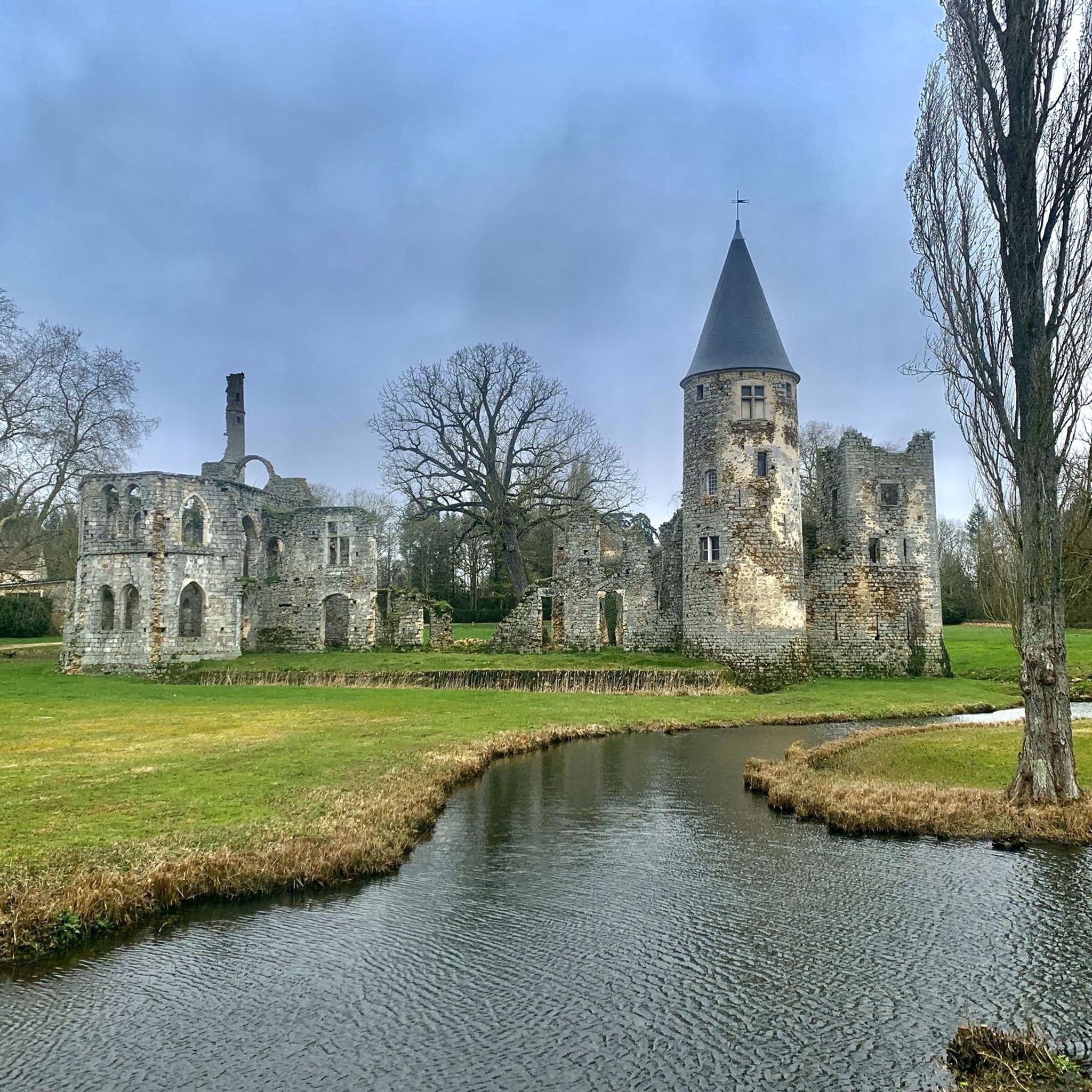
This former ruined 13th century castle was extensively renovated in the 20th century. Today it is a reception venue.
0
1

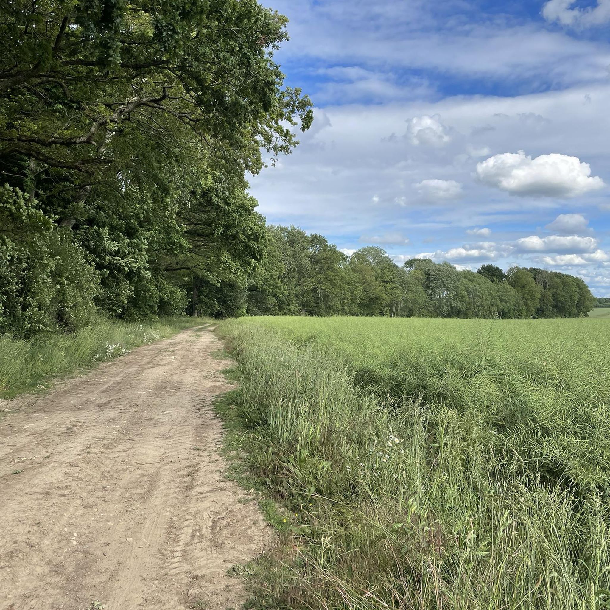
Nice spot for a break in the forest
0
0

The church of Verneuil was built in the 19th century. The town of Verneuil is otherwise mainly surrounded by fields, with significant agricultural activity.
1
0
Bucolic passage on the Ru de Bréon. Take advantage of the greenery and a shaded part in summer, but beware of the slippery ground, especially when it is wet or covered with dead leaves!
2
0

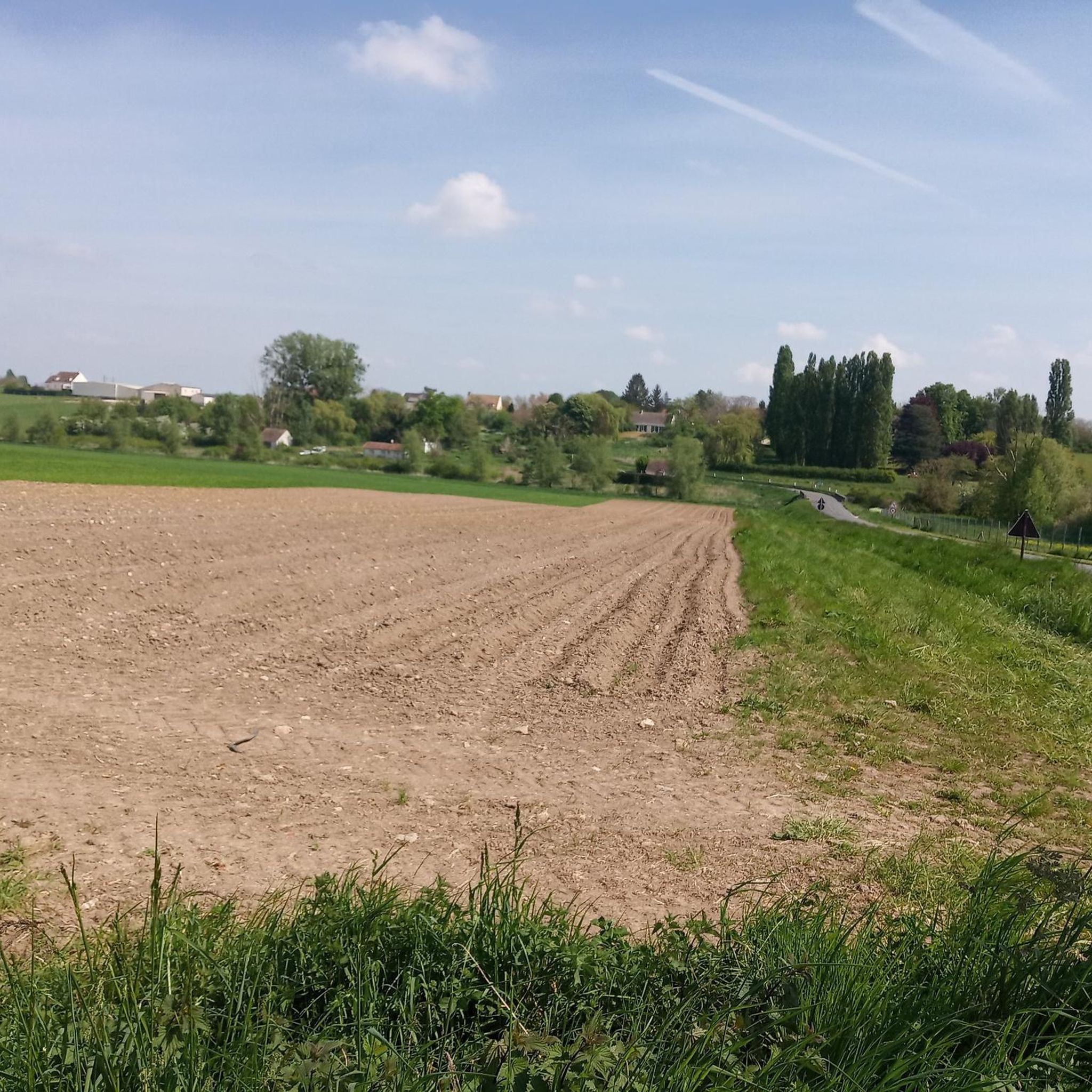
Beautiful view of the Yerres valley and the village of Chaumes-en-Brie
0
0

After Verneuil-l'Étang station, the Bastille line (Chemin des Roses) for military and strategic reasons was extended to Marles-en-Brie, to connect with that of Coulommiers. It served the stations of Chaumes-en-Brie and Fontenay-Trésigny. In order to span the Yerres river, a majestic viaduct was built. At the beginning of the 1970s, the line was decommissioned, then removed. A hiking trail has been laid out in its location, and takes the viaduct, which offers us a superb panorama of the town of Chaumes.
1
0

The Château du Vivier is 45 km from Paris. In the middle of its 7-hectare park, the remains of this castle and the hundred-year-old trees offer a majestic and romantic landscape. In winter, the snow gives a new touch of magic to this site.
2
0

Very pretty site which shelters a damaged but maintained castle!
0
0
Frequently Asked Questions
How many hiking trails are available around Fontenay-Trésigny?
There are over 90 hiking trails in and around Fontenay-Trésigny, offering a wide variety of options for all skill levels. The komoot community has rated these routes highly, with an average score of 4.4 stars from over 140 reviews.
What kind of landscapes can I expect to see while hiking in Fontenay-Trésigny?
Hikers in Fontenay-Trésigny can expect a diverse mix of landscapes. The region is characterized by woodlands, open fields, and meadows. You'll also find routes that follow the gentle flow of the Yerres and Bréon rivers, offering bucolic walks along their banks. The nearby Forest of Crécy provides extensive woodland sections for immersive forest experiences.
Are there easy hiking trails suitable for families or beginners?
Yes, Fontenay-Trésigny offers many easy trails perfect for families and beginners. Out of the 91 available routes, 32 are classified as easy. An example is the Château du Vivier – Chateau du Vivier loop from Fontenay-Trésigny, an easy 7.3 km trail that takes about 1 hour 54 minutes to complete, leading through local fields and past the Château du Vivier.
Can I find circular hiking routes in the area?
Yes, many of the hiking opportunities around Fontenay-Trésigny are circular routes, allowing you to start and end at the same point. For instance, the Thiou Ford – Verneuil Church loop from Chaumes-en-Brie is a popular moderate 11.2 km circular trail.
What historical sites or landmarks can I discover along the trails?
The region combines natural beauty with cultural heritage. Many routes pass by historical points of interest. You can explore sites like the Château du Vivier, La Houssaye Castle, and Château de Monceau. Some trails also feature unique historical elements like the Solers viaduct or the Chapelle de la Pointe.
Are there any challenging or longer hikes for experienced trekkers?
For those seeking a more challenging experience, Fontenay-Trésigny offers several longer and more difficult routes. There are 5 difficult trails available. An example is the Communal school for girls – Château du Vivier loop from Fontenay-Trésigny, a demanding 21.3 km route with over 127 meters of elevation gain.
Is Fontenay-Trésigny a dog-friendly hiking destination?
While specific regulations for dogs on trails can vary, the natural environment of Fontenay-Trésigny, with its extensive woodlands and open fields, generally welcomes responsible dog owners. It's always recommended to keep your dog on a leash, especially near wildlife or livestock, and to check local signage for any specific restrictions.
What is the best time of year to go hiking in Fontenay-Trésigny?
The varied landscapes of Fontenay-Trésigny make it suitable for hiking across multiple seasons. Spring and autumn offer pleasant temperatures and beautiful scenery with blooming flowers or vibrant fall foliage. Summer is also enjoyable, particularly for walks along the rivers or shaded forest trails. Even winter can provide unique, tranquil experiences, though some paths might be muddy.
What do other hikers enjoy most about the trails in Fontenay-Trésigny?
The komoot community highly rates the hiking experience in Fontenay-Trésigny, with an average score of 4.4 stars. Reviewers often praise the region's diverse terrain, from quiet woodlands to open fields and riverine paths. The well-maintained trails and the opportunity to combine nature with historical sights are frequently highlighted as key attractions.
Is parking available at the trailheads in Fontenay-Trésigny?
Yes, parking is generally available at or near the starting points of many hiking trails in and around Fontenay-Trésigny. Specific parking information can often be found on individual route descriptions on komoot, or by checking local village and forest access points.
Can I access hiking trails in Fontenay-Trésigny using public transport?
While many trails are easily accessible by car, some trailheads in the Fontenay-Trésigny area may be reachable via public transport, particularly from larger towns or villages with bus or train connections. It's advisable to check local public transport schedules and routes in advance to plan your journey to specific starting points.
Most popular routes around Fontenay-Trésigny
Most popular attractions around Fontenay-Trésigny

Get inspired with the komoot mobile app


Explore more
Browse the best Hikes in other regions.
