The best walks and hikes around Saint-Agnin-Sur-Bion
4.6
(227)
1,703
hikers
213
hikes
Hiking around Saint-Agnin-Sur-Bion offers diverse woodlands and varied trail options within the Isère department of southeastern France. The landscape is characterized by a multitude of small woods, including areas like Les Vernes and Le Bois des Bruyères, featuring tree species such as chestnut, oak, and beech. Natural features include the "Pierre du bois Pouloud," an erratic block, and "Les Rives," noted for its proximity to the Riboud pond. From higher points, hikers can find panoramic views of nearby communes.
Best hiking trails around Saint-Agnin-Sur-Bion
- The most popular hiking route is Viewpoint Bench loop from Chèzeneuve, a 7.1 miles (11.5 km) moderate trail that takes 3 hours 8 minutes to complete, offering views from various vantage points.
- Another top favourite among local hikers is Viewpoint Bench – View of the Countryside loop from Chèzeneuve, a moderate 9.8 miles (15.8 km) path that provides expansive countryside vistas.
- Local hikers also love the Viewpoint Bench loop from Crachier, a 3.3 miles (5.3 km) trail leading through wooded areas, often completed in about 1 hour 26 minutes.
- Hiking around Saint-Agnin-Sur-Bion is defined by diverse woodlands, panoramic viewpoints, and historical elements like ancient fortified sites. The network offers options for different ability levels, from easy loops to more challenging routes.
- The routes in Saint-Agnin-Sur-Bion are highly rated by the komoot community with an average score of 4.5 stars from over 200 reviews. More than 1000 hikers have used komoot to explore Saint-Agnin-Sur-Bion's varied terrain.
Last updated: July 15, 2026
4.0
(2)
23
hikers
15.4km
04:23
340m
340m
Moderate hike. Good fitness required. Mostly accessible paths. Sure-footedness required.
4.4
(5)
22
hikers
14.6km
04:05
280m
280m
Moderate hike. Good fitness required. Easily-accessible paths. Suitable for all skill levels.

Sign up for free
4.0
(1)
5
hikers
5.26km
01:26
80m
80m
Easy hike. Great for any fitness level. Easily-accessible paths. Suitable for all skill levels.
5.0
(2)
6
hikers
7.31km
01:58
90m
90m
Easy hike. Great for any fitness level. Easily-accessible paths. Suitable for all skill levels.
7
hikers
8.26km
02:17
150m
150m
Moderate hike. Good fitness required. Easily-accessible paths. Suitable for all skill levels.
Get access to more routes and recommendations from other explorers.
Sign up for free
Already have an account?
Our route recommendations are based on thousands of hikes, rides, and runs completed by other people on komoot.
Start today with a free account
Your next adventure awaits.
Login or Signup




Tips from the Community

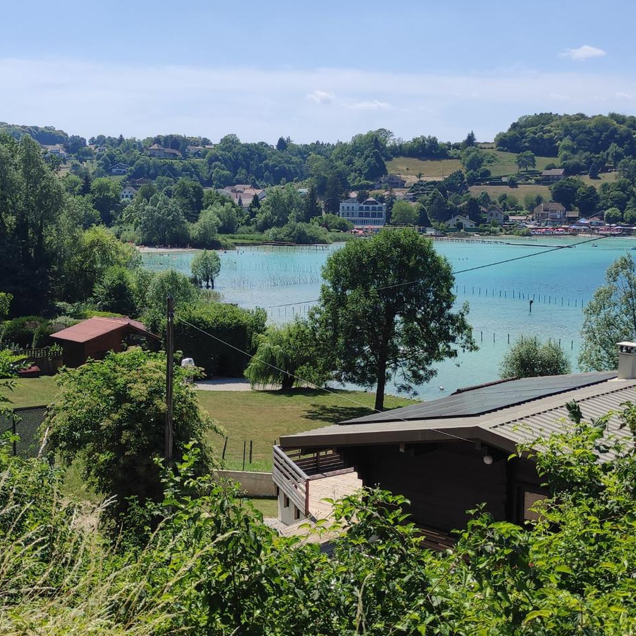
It's a very bucolic hike without major difficulty, very pleasant at this time of year, it will be done without any difficulty with children and your four-legged friends🤗
0
0

Viewpoint over the Alps from Mont Blanc to Mont Ventoux.
0
0

Nice view of the Alps (from the Ain mountains to Mont Ventoux) on a clear day!
1
0
Frequently Asked Questions
How many hiking trails are available around Saint-Agnin-Sur-Bion?
There are over 180 hiking routes in the Saint-Agnin-Sur-Bion area, catering to various fitness levels. This includes 73 easy trails, 104 moderate routes, and 3 more challenging options.
What kind of terrain can I expect on the hiking trails in Saint-Agnin-Sur-Bion?
The terrain around Saint-Agnin-Sur-Bion is characterized by diverse woodlands, featuring a mix of tree species like chestnut, oak, hornbeam, and beech. You'll find paths winding through areas such as Les Vernes, Le Bois du Girard Pendu, and Le Bois des Bruyères. Some routes also offer panoramic views from higher points.
Are there any easy, family-friendly hikes in Saint-Agnin-Sur-Bion?
Yes, there are many easy trails suitable for families. For example, the Viewpoint Bench loop from Crachier is an easy 5.3 km trail that takes about 1 hour 26 minutes to complete, leading through pleasant wooded areas.
What are some notable natural features or viewpoints to discover while hiking?
Hikers can explore natural curiosities like the "Pierre du bois Pouloud," an erratic glacial block. From higher points such as Les Rives (at 496 meters), you can enjoy panoramic views of nearby communes like Culin, Crachier, Chézeneuve, and Maubec. Many routes, such as the Viewpoint Bench loop from Chèzeneuve, are specifically designed to highlight these scenic spots.
Are there any historical sites or attractions along the hiking routes?
Yes, the area has historical significance. Saint-Agnin-Sur-Bion has Roman origins, and the Bois du Girard Pendu area is linked to a Roman governor. You might also encounter a 13th-century fortified house with a tower, where the knight Bayard reportedly stayed. For specific attractions, consider visiting the Chapelle Sainte-Anne or the Saint Joseph Chapel.
What do other hikers say about the trails in Saint-Agnin-Sur-Bion?
The trails in Saint-Agnin-Sur-Bion are highly regarded by the komoot community, with an average rating of 4.5 stars from over 200 reviews. Hikers often praise the diverse woodlands, the peaceful atmosphere, and the well-maintained paths that offer a mix of easy and moderate challenges.
Are there any circular hiking routes available?
Yes, many of the trails around Saint-Agnin-Sur-Bion are circular, allowing you to start and end at the same point. Examples include the Viewpoint Bench – View of the Countryside loop from Chèzeneuve, which offers expansive vistas, or the Beautiful discovery loop from Culin.
What is the best time of year to go hiking in Saint-Agnin-Sur-Bion?
The diverse woodlands of Saint-Agnin-Sur-Bion make it enjoyable for hiking across multiple seasons. Spring and autumn offer pleasant temperatures and beautiful foliage, while summer provides lush greenery. Winter hiking is also possible, though conditions may vary.
Are there any lakes or water features near the hiking trails?
Yes, the area known as "Les Rives" is noted for its proximity to the Riboud pond. Additionally, the Étang de la Rosière is a nearby lake that can be explored.
What are some longer, more challenging hiking options in the area?
For those seeking a longer challenge, the Viewpoint Bench – View of the Countryside loop from Chèzeneuve is a moderate 15.8 km route that takes approximately 4 hours and 23 minutes. Another good option is the Viewpoint Bench loop from Maubec, covering 12.8 km in about 3 hours 28 minutes.
Are there any castles or historical buildings to see while hiking?
Beyond the fortified house mentioned, the Bonnevaux Castle is another historical site in the vicinity that you might consider visiting in conjunction with your hike.
Most popular routes around Saint-Agnin-Sur-Bion
Most popular attractions around Saint-Agnin-Sur-Bion

Get inspired with the komoot mobile app


Explore more
Browse the best Hikes in other regions.
