The best road cycling routes around Brion
4.5
(66)
1,207
riders
124
rides
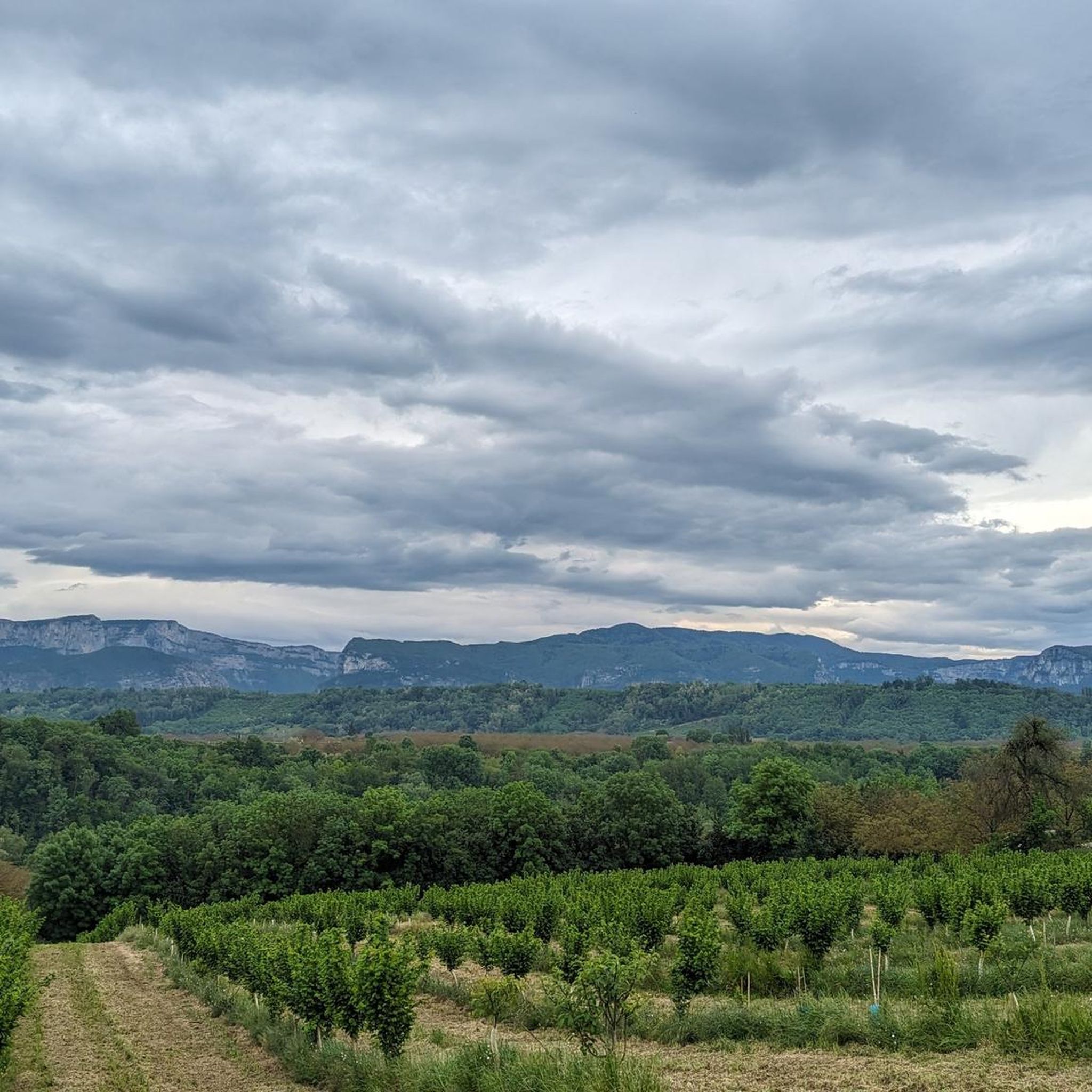
Road cycling routes around Brion feature a landscape characterized by significant elevation changes, including numerous passes and gorges. The region offers varied terrain suitable for road cyclists seeking both challenging climbs and scenic routes through natural features. This area is defined by its mountainous character, providing consistent gradients and descents.
Best road cycling routes around Brion
- The most popular road cycling route is Gorges du Nan – Gorges du Nan loop from Chasselay, a 41.4 miles (66.6 km) trail…
Last updated: November 1, 2026
5.0
(1)
36
riders
66.0km
03:55
1,620m
1,620m
Hard road ride. Very good fitness required. Mostly well-paved surfaces and easy to ride.
17
riders
39.1km
02:17
890m
890m
Moderate road ride. Good fitness required. Mostly well-paved surfaces and easy to ride.

12
riders
58.2km
02:55
890m
890m
Moderate road ride. Good fitness required. Mostly well-paved surfaces and easy to ride.
5.0
(1)
13
riders
41.1km
02:04
680m
680m
Moderate road ride. Good fitness required. Mostly well-paved surfaces and easy to ride.
10
riders
Moderate road ride. Good fitness required. Mostly well-paved surfaces and easy to ride.
Get access to more routes and recommendations from other explorers.
Already have an account?
Our route recommendations are based on thousands of hikes, rides, and runs completed by other people on komoot.
Start today with a free account
Your next adventure awaits.

Tips from the Community

Medieval origins (11th - 12th centuries): The religious site is of very ancient origin. From the end of the 11th century, several religious buildings are mentioned in the commune. The Saint-Pierre church itself is cited under the name "ecclesia de Anos" in the famous cartulary of Saint Hugues (Bishop of Grenoble). In the Middle Ages, the church was directly dependent on the priory of Saint-Laurent of Grenoble, as attested by an official terrier dating from 1497 under the name "ecclesia Sancti Petri de Fortaressia".
0
0
Considered by local cyclists to be the most demanding pass in the Chambarans, it mainly connects the Isère valley to the commune of La Forteresse.
0
0
Considered by local cyclists to be the most demanding pass in the Chambarans, it mainly connects the Isère valley to the municipality of La Forteresse.
0
0

Currently new asphalt on the first km👌
0
0

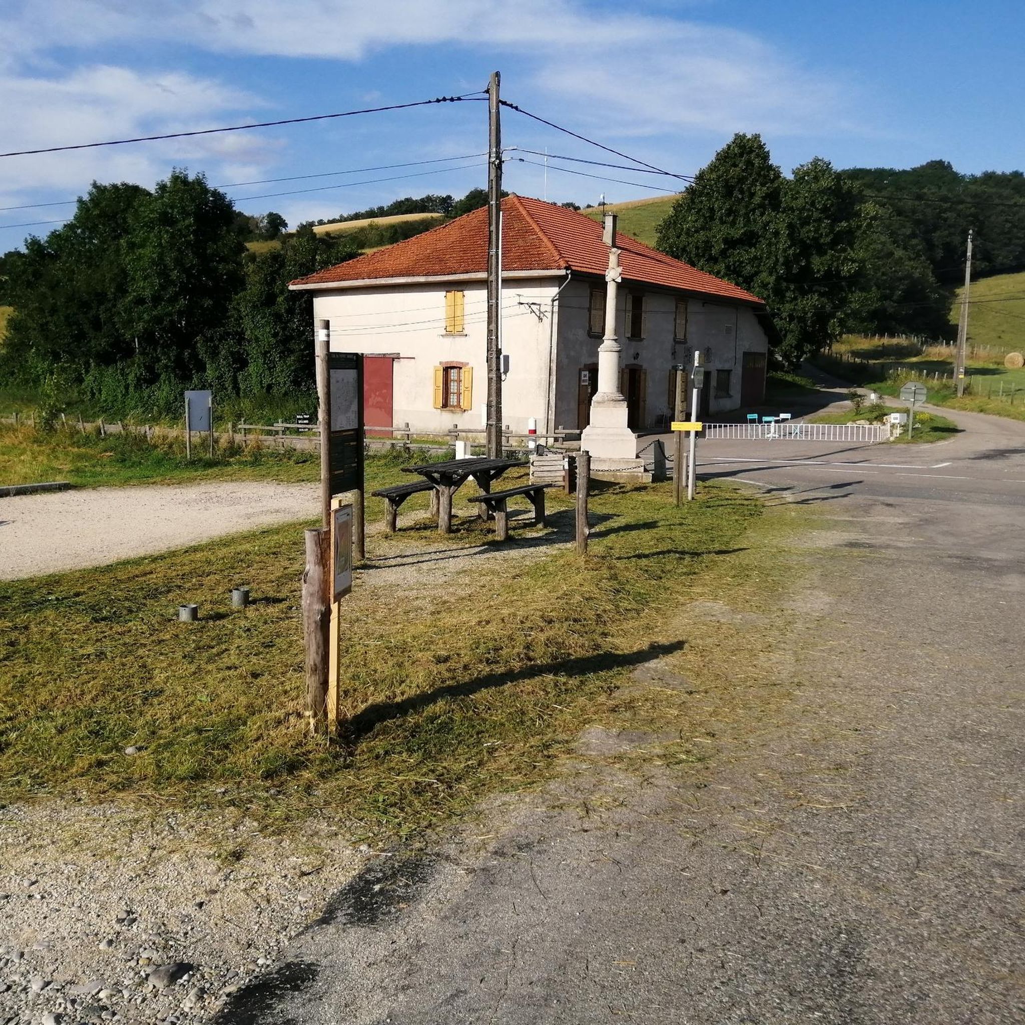
the basic structures of the old suspension bridge are still standing, but traffic runs parallel over a new bridge.
0
0

Here is the route for the ascent of the Col de Parménie starting from Tullins
1
0
Here is the route for the ascent of the Col de Châtain starting from Cras
1
0
Here is the route for the ascent of the Col de la Croix de Toutes Aures starting from Charubin, the variant passing via the Route de Saint-Marcellin
1
0
Frequently Asked Questions
How many road cycling routes are available around Brion?
Brion offers a diverse network of over 130 road cycling routes. These routes cater to various skill levels, with options ranging from easy to difficult, characterized by significant elevation changes, passes, and gorges.
What kind of terrain can I expect on road cycling routes in Brion?
The region around Brion is defined by its mountainous character, featuring numerous passes and gorges. Cyclists can expect varied terrain with consistent gradients and descents, providing both challenging climbs and scenic rides through natural features.
Are there road cycling routes suitable for beginners in Brion?
Yes, Brion has routes suitable for beginners. There are 16 easy routes available. While the region is known for its elevation changes, these easier options provide a good introduction to road cycling in the area. For example, you might consider routes with less extreme elevation gain.
What are some challenging road cycling routes for experienced riders?
Experienced riders seeking a challenge will find plenty of options, with 36 difficult routes available. A particularly demanding route is the Rencurel Village – Col de Romeyère loop from Chasselay, which covers 82.9 km with substantial elevation gain.
What do other road cyclists enjoy most about cycling in Brion?
The road cycling routes in Brion are highly rated by the komoot community, with an average score of 4.6 stars from over 50 reviews. Cyclists often praise the varied terrain, the challenging climbs through passes and gorges, and the scenic beauty of the region.
Are there any circular road cycling routes in Brion?
Yes, many of the road cycling routes in Brion are designed as loops, allowing you to start and finish at the same point. An example is the Saint-Marcellin – Chasselay Bourg loop from Chasselay, a moderate 45.6 km route.
What are some notable landmarks or scenic viewpoints along the road cycling routes?
The routes often pass through or near significant natural and historical landmarks. You can find scenic viewpoints at various mountain passes such as Toutes Aures Pass or Lachard Pass (695 m). The region also features the Sculpture Trail of the Four Winds and the historic Château de Bressieux.
What is the typical duration for road cycling routes in Brion?
The duration of routes varies significantly based on distance and elevation. For instance, the moderate Cognet Pass (525 m) – Toutes Aures Pass loop from Chasselay typically takes around 1 hour 47 minutes, while more challenging routes like the Parménie Pass – Lachard Pass (695 m) loop from Saint-Geoirs can take closer to 3 hours.
When is the best time of year for road cycling in Brion?
Given the mountainous terrain and passes, late spring through early autumn (May to October) generally offers the most favorable conditions for road cycling in Brion. During these months, you can expect milder temperatures and less chance of snow or ice on higher passes.
Are there any specific passes or gorges that are popular among road cyclists in Brion?
Yes, the region is renowned for its passes and gorges. The Gorges du Nan are a popular feature, as seen in the Gorges du Nan – Gorges du Nan loop from Chasselay. Other frequently cycled passes include Lachard Pass (695 m) and Toutes Aures Pass, which offer both challenging climbs and rewarding views.
Is public transport available to access road cycling routes in Brion?
While specific public transport links to every trailhead are not detailed, many routes start from towns or villages in the Brion area that may have local bus services. It's advisable to check local transport schedules for the specific starting point of your chosen route.
Where can I find parking for road cycling routes in Brion?
Most road cycling routes in Brion start from towns or villages, where public parking is generally available. Look for designated parking areas in the starting locations mentioned for specific routes, such as Chasselay or Saint-Geoirs.
Most popular attractions around Brion

Get inspired with the komoot mobile app


Explore more
Browse the best Road cycling routes in other regions.
