The best walks and hikes around Landresse
4.4
(157)
791
hikers
44
hikes
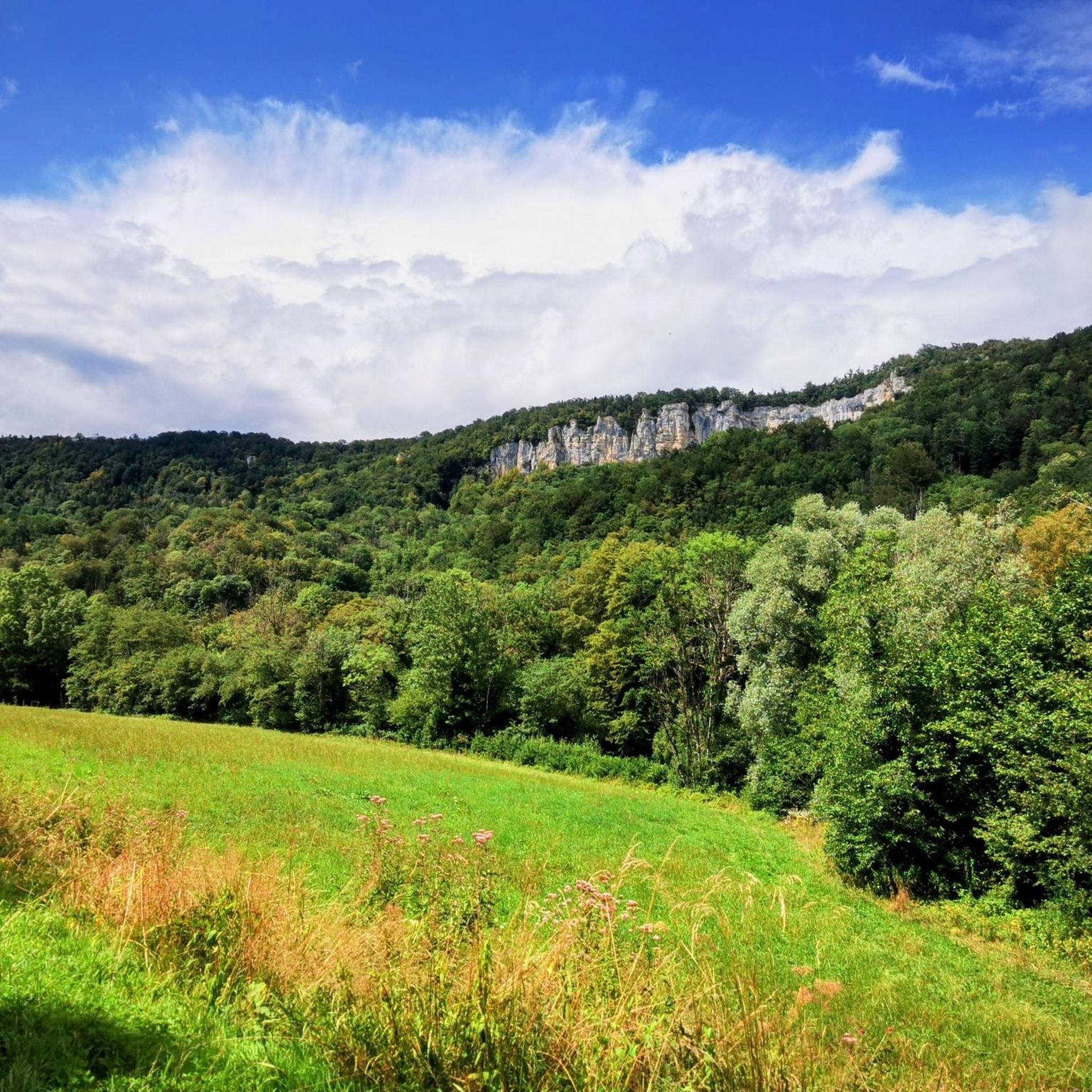
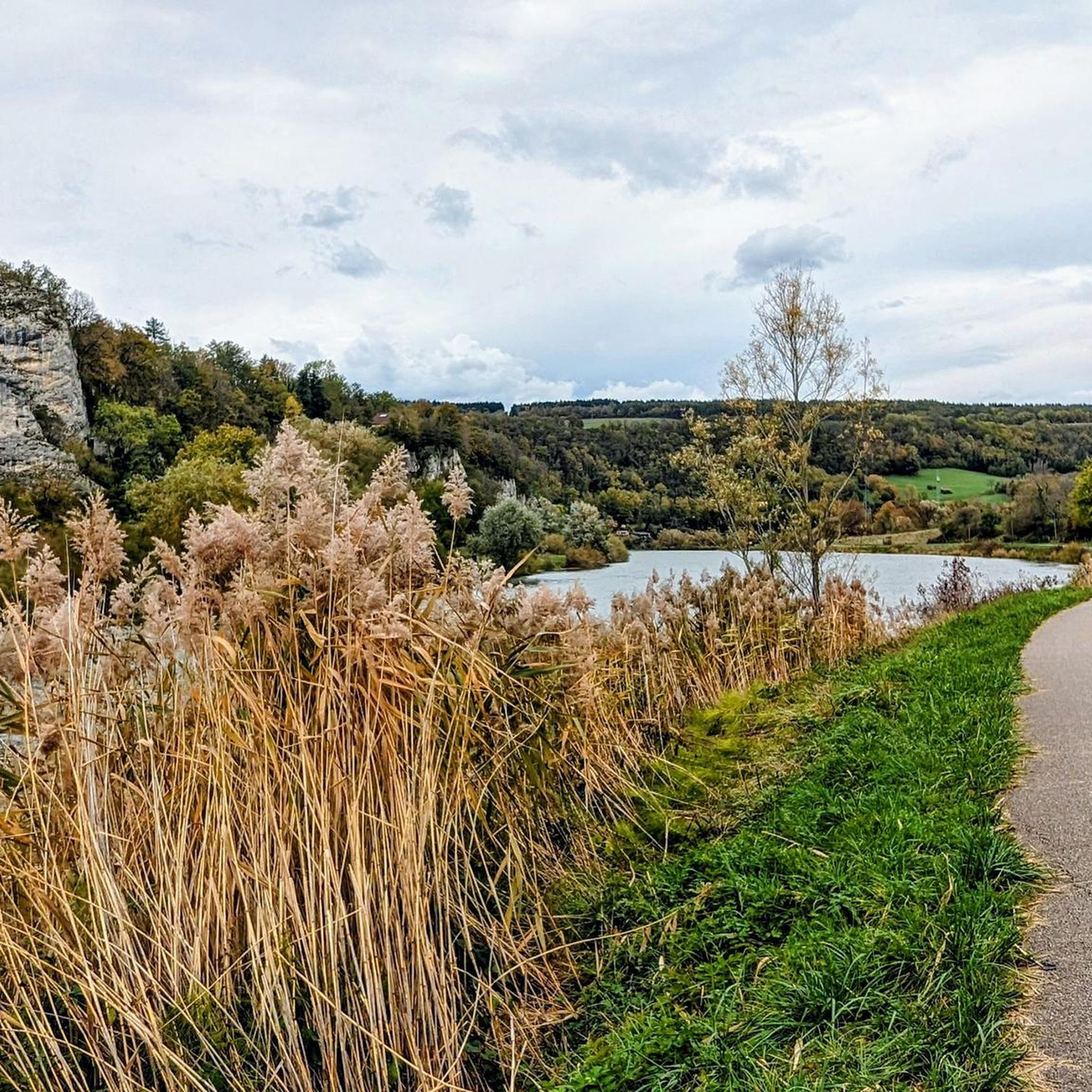
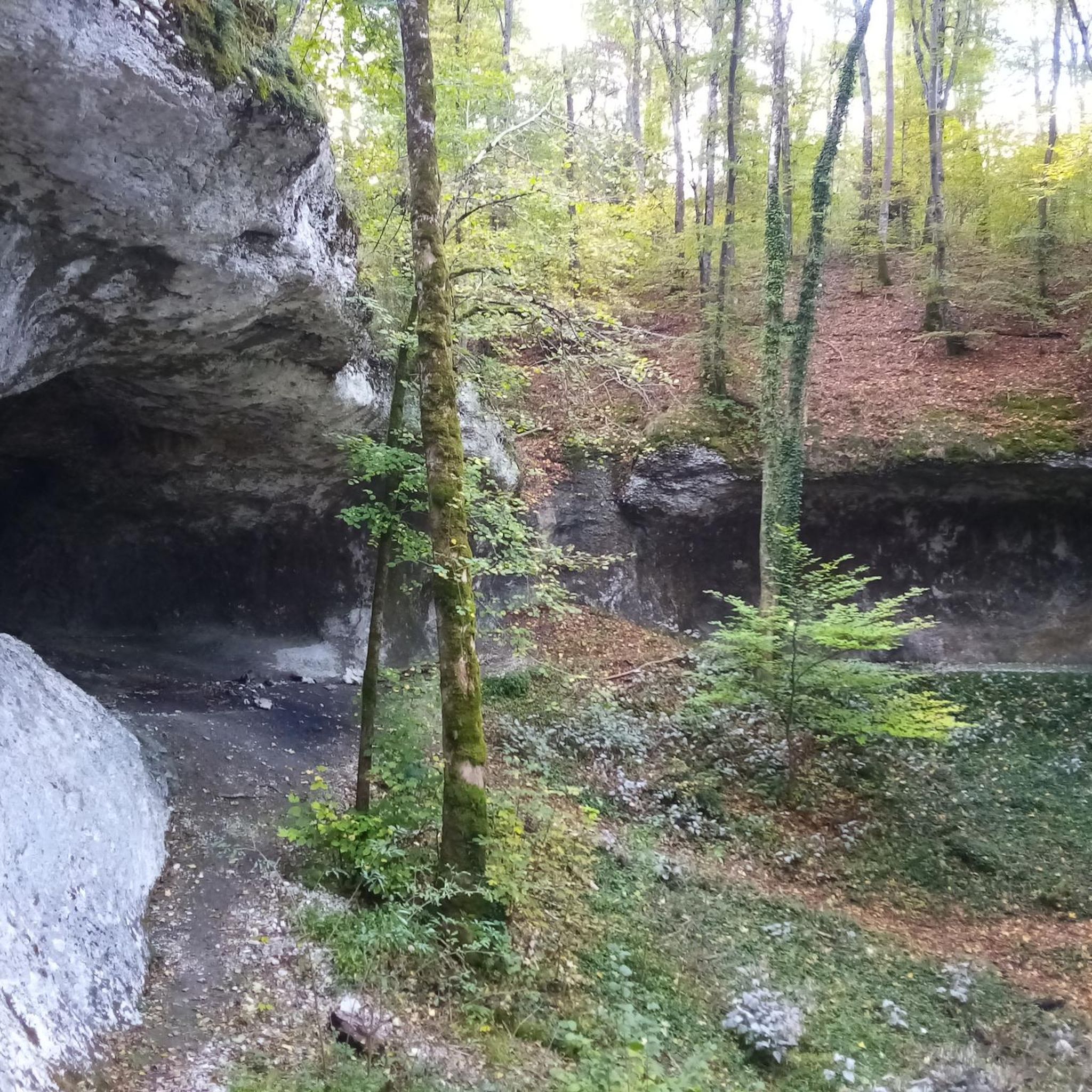
Hiking around Landresse in the Doubs region of France offers diverse natural features and varied terrain. The area is characterized by its position within the Massif du Jura, featuring a blend of forests, riverbanks, and notable springs. Hikers can explore landscapes that include valleys, rock formations, and moderate elevation changes.
Best hiking trails around Landresse
- The most popular hiking route is Val de Cusance Loop, a 4.7 miles (7.6 km) trail that takes 2 hours 21 minutes to complete,…
Last updated: July 6, 2026
3.1
(17)
33
hikers
7.61km
02:21
270m
270m
Moderate hike. Good fitness required. Easily-accessible paths. Suitable for all skill levels.
5.0
(3)
28
hikers
11.3km
03:10
230m
230m
Moderate hike. Good fitness required. Easily-accessible paths. Suitable for all skill levels.

Sign up for free
3.7
(3)
15
hikers
4.27km
01:18
130m
130m
Easy hike. Great for any fitness level. Easily-accessible paths. Suitable for all skill levels.
4.0
(6)
18
hikers
2.22km
00:37
50m
50m
Easy hike. Great for any fitness level. Easily-accessible paths. Suitable for all skill levels.
19
hikers
12.5km
03:41
360m
360m
Moderate hike. Good fitness required. Easily-accessible paths. Suitable for all skill levels.
Get access to more routes and recommendations from other explorers.
Sign up for free
Already have an account?
Our route recommendations are based on thousands of hikes, rides, and runs completed by other people on komoot.
Start today with a free account
Your next adventure awaits.
Login or Signup

Tips from the Community


Please note, this hike was done in May 2025, and the very last section was inaccessible. We were unable to reach the source of the Cusancin River; fallen trees and overgrown vegetation made the path impossible to find. We had to turn around and return to the starting point by road (barely a hundred meters of asphalt).
1
0

Built on the foundations of a 12th century feudal castle, the chapel dominates the hamlet of Val-de-Cusance. It was built in 1880 and bears the name of Saint-Ermenfroi, who had built an abbey intended to accommodate the sick and foreigners in the 7th century. The chapel is the ideal place to enjoy a beautiful panorama of the valley, with greenery as far as the eye can see.
1
1
The green spring or the Cuse is located on the left side of the river at approximately the same height as the blue spring. This is the true source of Cusancin. The upper gallery of the cave was walled with dry stones.
0
0
The blue spring is a Vauclusian spring which emerges in an oval basin. Its depth is nine meters. Divers explored the submerged gallery over a length of 220 meters before stumbling upon a narrowing which was not crossed. The gallery is made up of two siphons. The turquoise blue waters give it its name.
1
0

It is one of the two sources that feed the Cusancin, a river also known as “the Cuse”. It is greener than the blue of the Cove which is called the Blue Source. This is on the other side of the road. The Cuse and the Anse join and lend their name to the neighboring village: Cusance.
2
0
As the name suggests, this water is crystal clear sea blue. Is it worth visiting and maybe taking a dip?
2
0

Chateau Which overlooks the valley; possible visits
0
0
Frequently Asked Questions
How many hiking trails are available around Landresse?
There are over 35 hiking routes around Landresse, offering a variety of experiences. These include 20 easy trails, 17 moderate trails, and 1 more challenging route, ensuring options for all skill levels.
What kind of terrain can I expect on hikes around Landresse?
Hikes around Landresse, nestled in the Massif du Jura, feature diverse terrain. You can expect a blend of dense forests, scenic riverbanks, and valleys. The area is also known for its natural springs and moderate elevation changes, providing varied landscapes for exploration.
What natural attractions can I discover while hiking near Landresse?
The region is rich in natural beauty. You can explore the striking turquoise waters of La Source Bleue, or the greener hues of the Cusancin spring. The Boucle du Doubs at Baume-les-Dames also offers sublime river landscapes.
Are there any historical sites or viewpoints along the trails?
Yes, several trails offer a blend of history and scenic views. You can visit the historic Sainte-Radegonde Chapel, built in 1541, which is near the Roche Barchey viewpoint. Some loops also lead to the Grotte des Bougeottes with its engraved stone and a belvedere offering panoramic vistas.
Are there easy hiking options for beginners or casual walkers?
Absolutely. Landresse offers 20 easy trails perfect for beginners or those seeking a relaxed walk. A great option is the The Blue Spring – Saint-Erminfroid Chapel loop from Cusance, which is a 2.3 km (1.4 miles) trail that can be completed in under an hour.
Are there any circular hiking routes around Landresse?
Many of the trails around Landresse are designed as circular routes, allowing you to start and end at the same point. For example, the Val de Cusance Loop is a moderate 7.6 km (4.7 miles) circular trail winding through the scenic Cusance valley.
Are the hiking trails around Landresse suitable for families with children?
Yes, many trails are suitable for families. The region's diverse terrain includes numerous easy and moderate routes. Look for shorter, less strenuous loops, especially those that pass by natural springs or historical sites, which can add an element of discovery for children.
Can I bring my dog on the hiking trails in Landresse?
Generally, dogs are welcome on hiking trails in the Landresse region. However, it's always recommended to keep your dog on a leash, especially in nature reserves, near livestock, or in areas with wildlife, to ensure safety and respect for the environment.
What is the best time of year to go hiking in Landresse?
The spring and autumn months are often ideal for hiking in Landresse, offering pleasant temperatures and beautiful scenery. Spring brings lush greenery and blooming flora, while autumn showcases vibrant fall colors. Summer can also be enjoyable, but it's advisable to start early to avoid the midday heat.
Is parking available near the trailheads in Landresse?
Parking is generally available near popular trailheads and villages in the Landresse area. Specific parking information can often be found on individual route descriptions or local tourism websites. It's advisable to check in advance for your chosen starting point.
What do other hikers enjoy the most about hiking in Landresse?
The area is highly rated by the komoot community, with an average score of 4.4 stars from over 100 reviews. Reviewers often praise the varied terrain, the beauty of the natural springs like La Source Bleue, and the peaceful atmosphere of the forests and riverbanks.
Are there any longer, more challenging hikes available?
While most trails are easy to moderate, there is one difficult route for experienced hikers seeking a greater challenge. Additionally, several moderate trails, such as The Green Spring – Croix de Saint Erminfroi loop from Cusance, offer longer distances and more significant elevation gains, spanning nearly 12 km (7.4 miles).
Most popular attractions around Landresse

Get inspired with the komoot mobile app


Explore more
Browse the best Hikes in other regions.
