The best walks and hikes around Germéfontaine
4.7
(71)
410
hikers
32
hikes
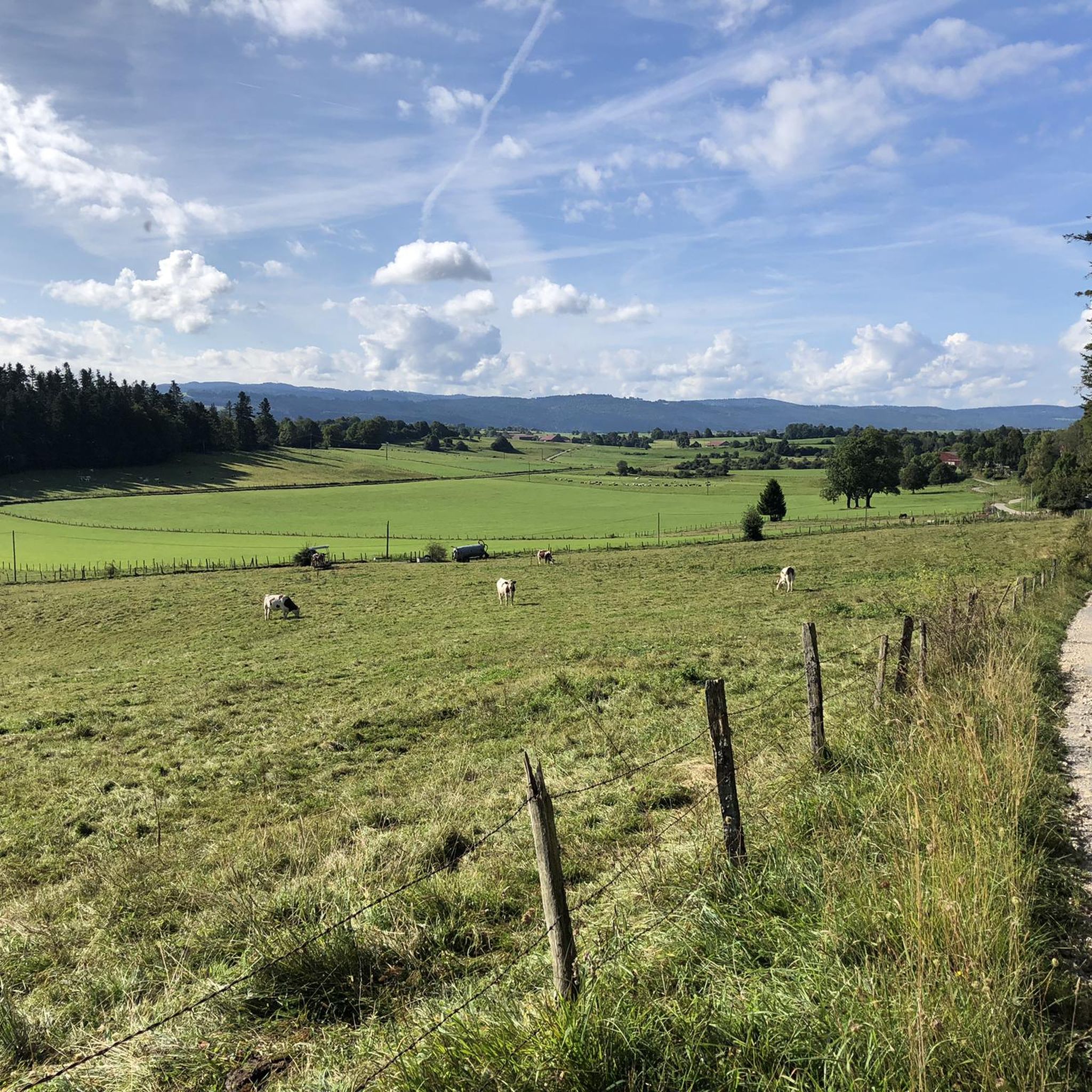
Hiking around Germéfontaine offers trails through varied terrain in the Doubs department of France. The landscape features rolling hills, dense woodlands, and geological formations such as rock outcrops. Hikers can expect paths that traverse valleys and ascend moderate slopes, providing views of the surrounding countryside. The region provides a mix of easy and moderate paths suitable for different hiking preferences.
Best hiking trails around Germéfontaine
- The most popular hiking route is Sainte-Radegonde Trail, a 5.0 miles (8.1 km) trail…
Last updated: July 6, 2026
4.3
(4)
20
hikers
8.11km
02:32
310m
310m
Moderate hike. Good fitness required. Easily-accessible paths. Suitable for all skill levels.
5.0
(1)
20
hikers
8.98km
02:34
200m
200m
Moderate hike. Good fitness required. Easily-accessible paths. Suitable for all skill levels.

Sign up for free
19
hikers
12.5km
03:41
360m
360m
Moderate hike. Good fitness required. Easily-accessible paths. Suitable for all skill levels.
3.5
(2)
10
hikers
7.59km
02:14
220m
220m
Moderate hike. Good fitness required. Easily-accessible paths. Suitable for all skill levels.
5.0
(2)
13
hikers
14.2km
04:20
490m
490m
Moderate hike. Good fitness required. Easily-accessible paths. Suitable for all skill levels.
Get access to more routes and recommendations from other explorers.
Sign up for free
Already have an account?
Our route recommendations are based on thousands of hikes, rides, and runs completed by other people on komoot.
Start today with a free account
Your next adventure awaits.
Login or Signup


Tips from the Community

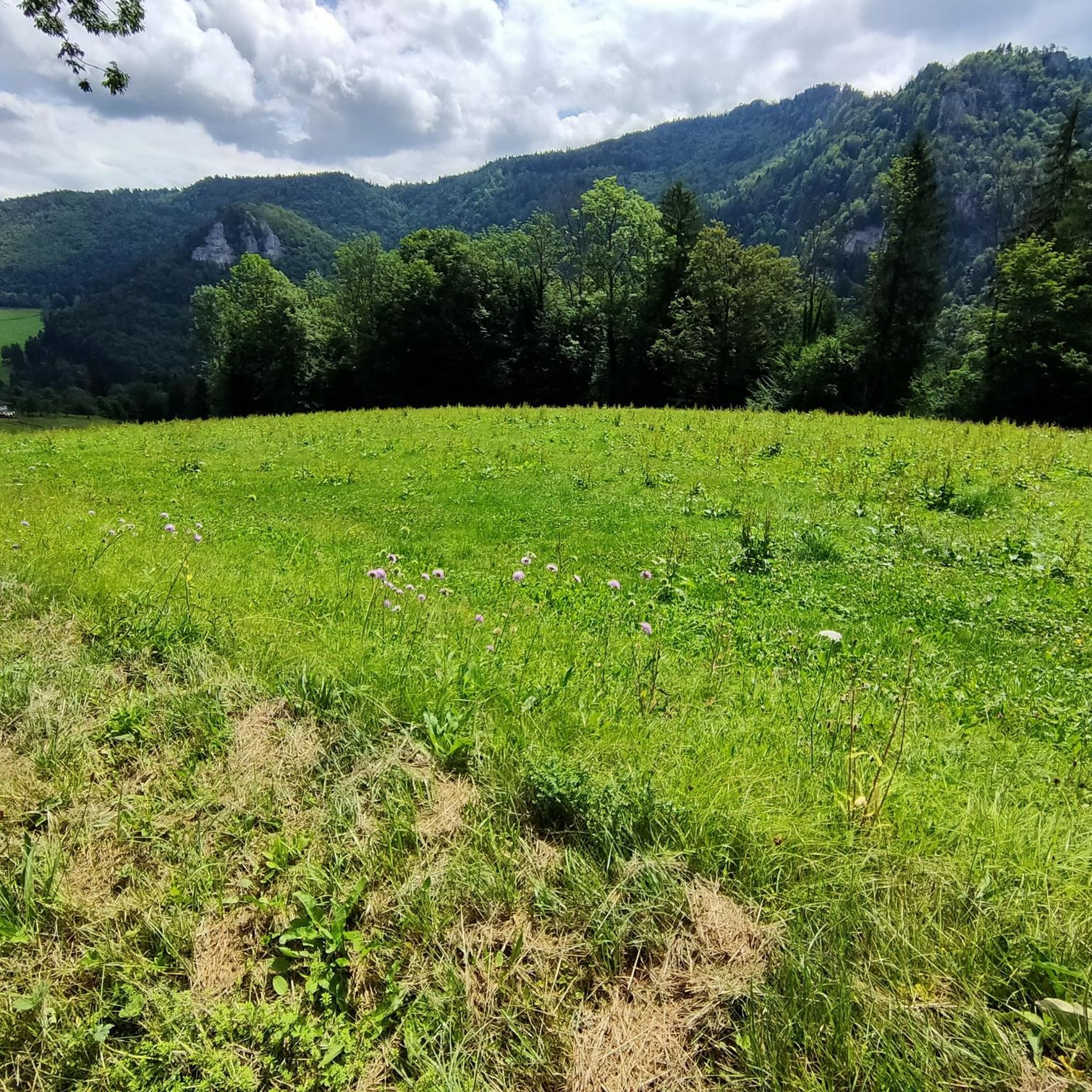
A unique promontory combining a place of worship and an exceptional panorama over the Val de Vennes and even the Jungfrau, a peak of over 4000m in the Bernese Alps in Switzerland!
0
0

If you are looking for a historic and picturesque hike in the Doubs, you can visit the Sainte-Radegonde de Loray chapel. This chapel was built in 1541 and was a place of pilgrimage for people with walking difficulties. It is said that Sainte-Radegonde, former queen of the Franks, fought and defeated a ghoul there. The chapel is located near the Roche Barchey, a rock formation with a deep pit that was believed to be a gate to hell. You can enjoy the panoramic view from the Roche Barchey belvedere and see the traces of an ancient castle nearby.
3
0
If you are looking for a scenic hike in the Jura Massif, you can head to the Roche Barchey Viewpoint. It is a rock formation pierced in its center, hence its name (Roche Barchey means “pierced rock” in Celtic). From the top of the rock, you can enjoy a panoramic view of the Val de Vennes and the Haut Doubs, as well as the chapel of Sainte-Radegonde and the Lomont mountains in the distance.
2
0

Not easy to access: the trail (blue circle) is not easy to follow
0
0
Frequently Asked Questions
How many hiking trails are there around Germéfontaine?
There are over 25 hiking trails in the Germéfontaine area, offering a variety of options for different skill levels and preferences.
Are there easy hiking trails suitable for beginners or families?
Yes, Germéfontaine offers a good selection of easy trails. For instance, the Sainte-Radegonde Chapel – Roche barchey loop from Vennes is an easy 2.5-mile (4.0 km) route through rolling hills, perfect for a relaxed outing.
Are there any challenging hikes in the region?
While most trails are easy to moderate, there is at least one difficult route available for experienced hikers seeking a greater challenge. These trails typically feature more significant elevation changes and rugged terrain.
What kind of natural attractions or viewpoints can I see while hiking?
The region boasts several interesting natural and historical sights. You can visit the Sainte-Radegonde Chapel, explore the Cusancin spring, or enjoy panoramic views from the Roche Barchey viewpoint. The Grotte de la Réverotte loop from Loray also explores local geological features.
Are there any circular hiking routes in Germéfontaine?
Yes, many trails in the area are designed as loops. A popular option is the Pierced Rock loop from Pierrefontaine-les-Varans, which is a moderate 4.7-mile (7.6 km) route offering varied scenery.
What do other hikers say about the trails in Germéfontaine?
The trails around Germéfontaine are highly regarded by the komoot community, with an average rating of 4.7 out of 5 stars from over 50 reviews. Hikers often praise the varied terrain, well-maintained paths, and the peaceful atmosphere of the woodlands and countryside.
Can I bring my dog on the hiking trails?
Generally, dogs are welcome on most hiking trails in the Germéfontaine area. However, it's always recommended to keep your dog on a leash, especially when passing through agricultural areas or near wildlife, and to check for any specific local regulations on individual routes.
Is there parking available at the trailheads?
Many trailheads in the Germéfontaine region, particularly those starting from villages like Loray or Vennes, offer designated parking areas. It's advisable to check the specific route details on komoot for information on parking availability for your chosen hike.
What is the best time of year to go hiking in Germéfontaine?
The best time for hiking in Germéfontaine is typically from spring to autumn (April to October). During these months, the weather is generally mild, and the natural landscape is vibrant. Winter hiking is possible, but some paths might be slippery or require appropriate gear.
Are there any shorter, easy loops for a quick walk?
Absolutely. The Puits de la Roye – Grotte de la Réverotte loop from Loray is an easy 2.3-mile (3.7 km) loop, perfect for a shorter, refreshing walk through the local landscape.
What kind of landscape can I expect on the trails?
The hiking trails around Germéfontaine traverse a diverse landscape characterized by rolling hills, dense woodlands, and interesting geological formations. You'll find paths that wind through valleys and ascend moderate slopes, offering picturesque views of the surrounding Doubs countryside.
Most popular attractions around Germéfontaine

Get inspired with the komoot mobile app


Explore more
Browse the best Hikes in other regions.
