The best walks and hikes around Lavans-Vuillafans
4.5
(946)
5,093
hikers
167
hikes
Hiking around Lavans-Vuillafans offers a diverse landscape characterized by the Loue river valley, forested hills, and prominent rock formations like La Roche de Hautepierre. The region provides a network of trails suitable for various skill levels, often featuring views over the surrounding countryside. These routes frequently incorporate historical elements and natural viewpoints, making them popular for exploring the local environment.
Best hiking trails around Lavans-Vuillafans
- The most popular hiking route is La Roche de Hautepierre — loop from Lods, a 6.9 miles (11.1 km) trail that takes 3 hours 44 minutes to complete. This moderate route features significant elevation gain and panoramic views from the Roche de Hautepierre.
- Another top favourite among local hikers is Belvédère de la Roche – View from the Roche de Hautepierre loop from Mouthier-Haute-Pierre, an easy 2.5 miles (4.1 km) path. This shorter loop offers accessible views of the Roche de Hautepierre and the surrounding valley.
- Local hikers also love the Belvédère de la Roche – Old bridge over the Loue loop from Lods, a 6.2 miles (9.9 km) trail leading through varied terrain including riverbanks and ascents to viewpoints, often completed in about 3 hours 26 minutes.
- Hiking around Lavans-Vuillafans is defined by river valleys, rocky outcrops, and dense woodlands. The extensive network of routes offers options for different ability levels, from easy strolls to more challenging ascents.
- The routes in Lavans-Vuillafans are highly rated by the komoot community with an average score of 4.5 stars from over 800 reviews. More than 4,000 hikers have used komoot to explore Lavans-Vuillafans's varied terrain.
Last updated: July 6, 2026
4.8
(16)
67
hikers
11.1km
03:44
550m
550m
Moderate hike. Good fitness required. Easily-accessible paths. Suitable for all skill levels.
4.5
(11)
91
hikers
Easy hike. Great for any fitness level. Easily-accessible paths. Suitable for all skill levels.

Sign up for free
4.8
(12)
65
hikers
10.2km
03:32
530m
530m
Moderate hike. Good fitness required. Mostly accessible paths. Sure-footedness required.
4.8
(9)
61
hikers
11.5km
03:45
520m
520m
Moderate hike. Good fitness required. Easily-accessible paths. Suitable for all skill levels.
4.6
(8)
40
hikers
6.07km
01:54
230m
220m
Moderate hike. Great for any fitness level. Mostly accessible paths. Sure-footedness required.
Get access to more routes and recommendations from other explorers.
Sign up for free
Already have an account?
Our route recommendations are based on thousands of hikes, rides, and runs completed by other people on komoot.
Start today with a free account
Your next adventure awaits.
Login or Signup

Tips from the Community

I love this place
0
0

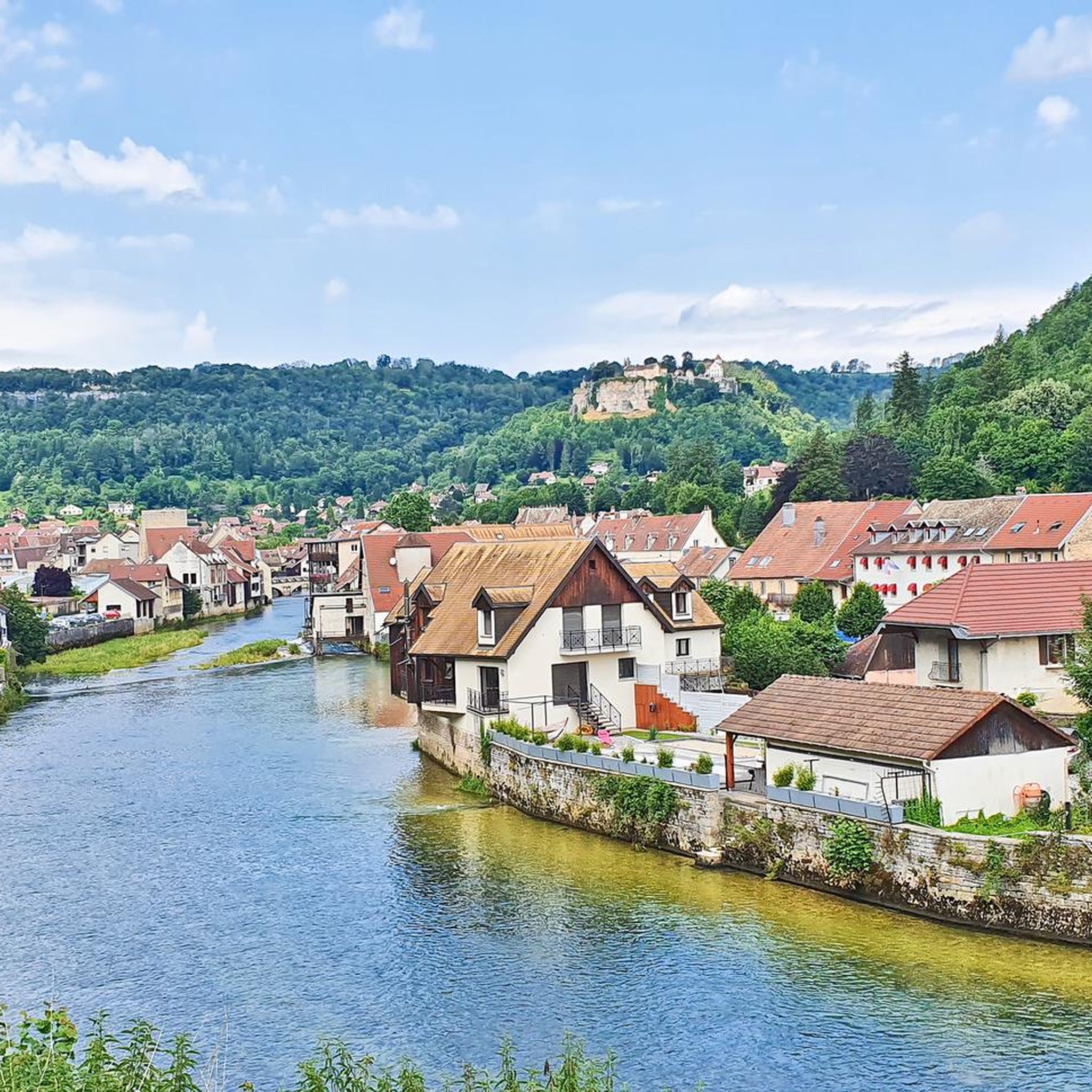
The Loue draws charming landscapes known through the paintings of Gustave Courbet. In addition to Ornans, the most beautiful village in the valley, other places are worth exploring on the surrounding paths, such as this bridge located a little further upstream.
0
0

The Loue in Mouthier-Haute-Pierre is distinguished by its natural beauty and peaceful atmosphere. Here you will find a calming section of the river framed by spectacular cliffs, perfect for nature lovers and those seeking tranquility.
1
0
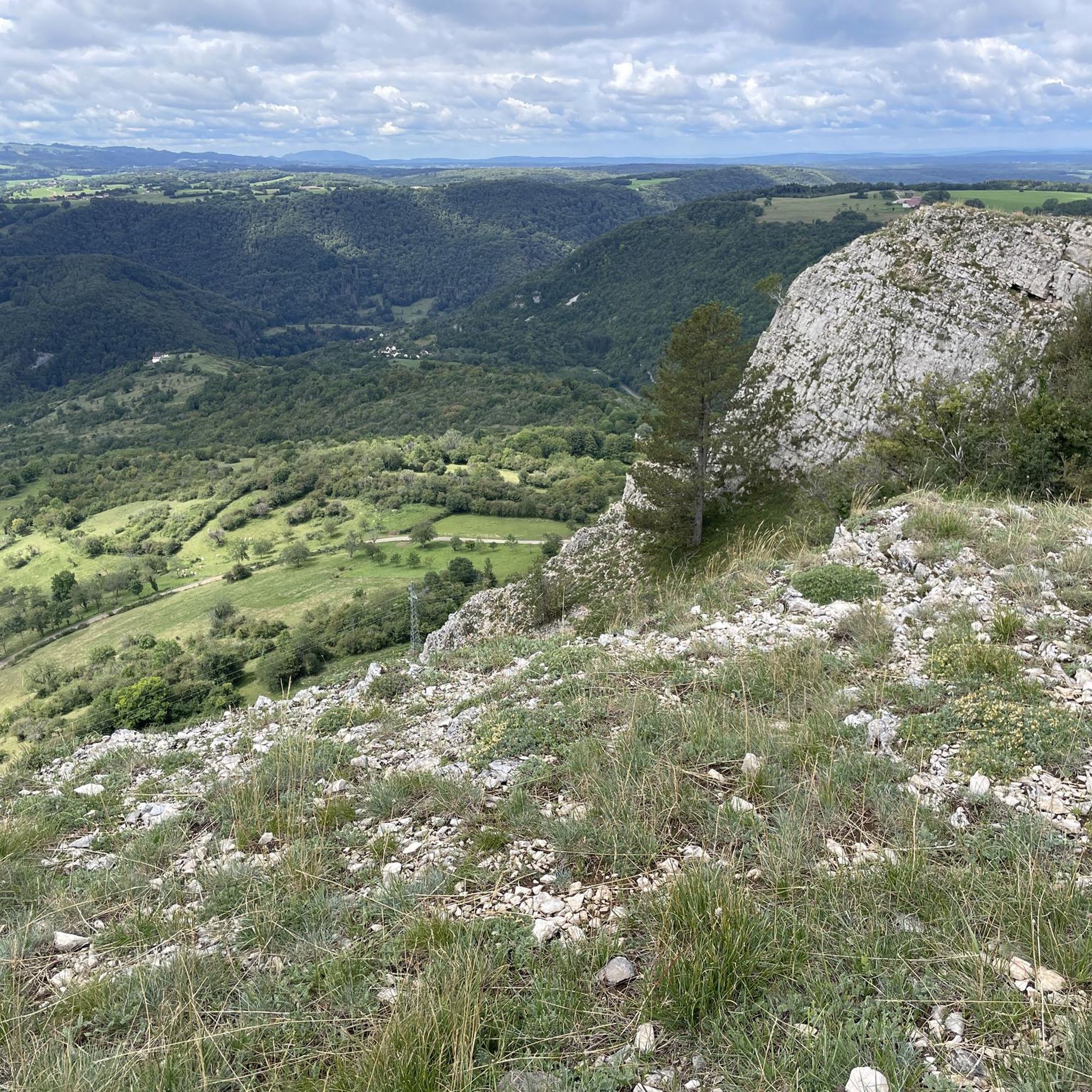
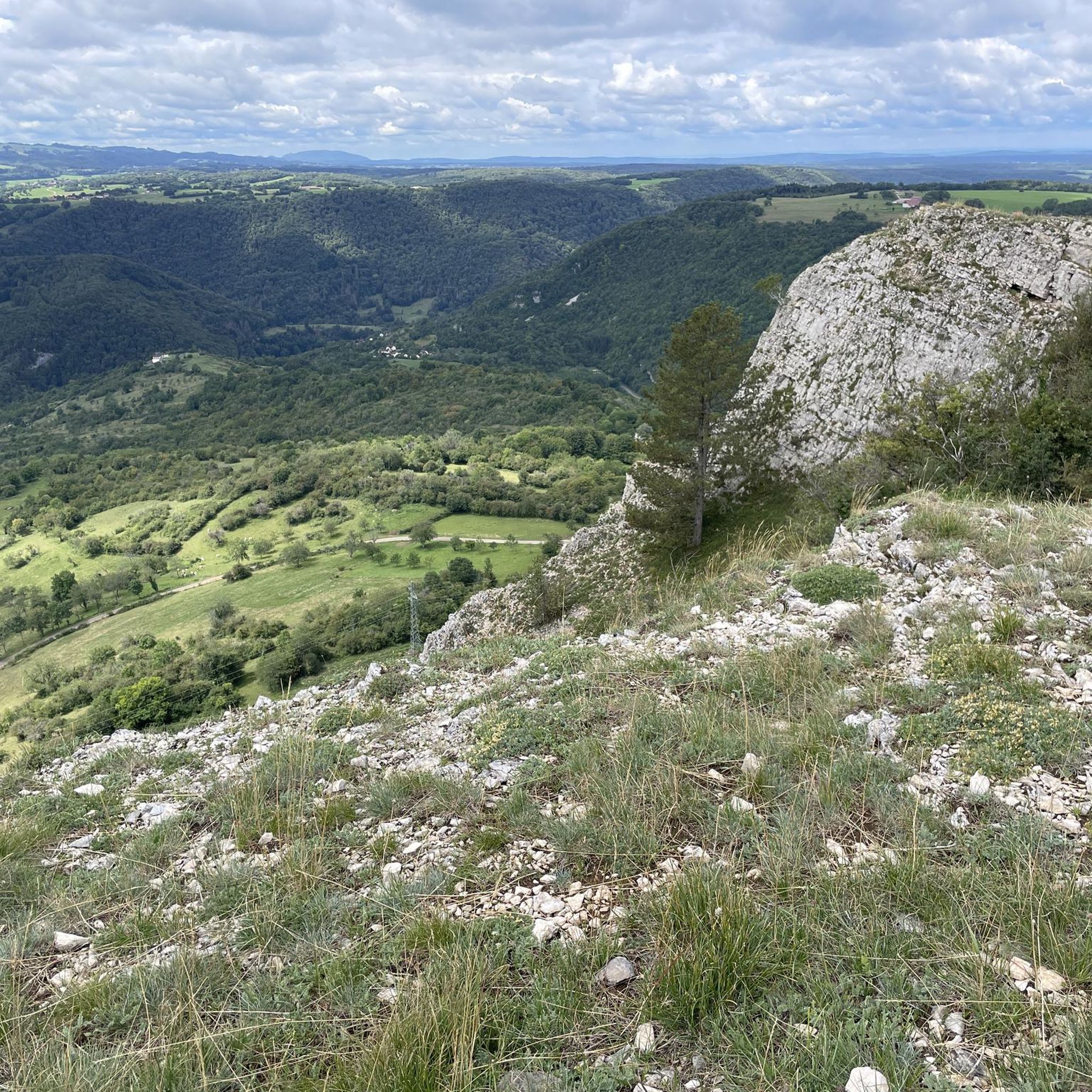
The green slopes of the Loue valley are a delight for hikers and offer many viewpoints.
2
0

you can't see it on the trail photo, but it's a steep descent - it's a good thing the route is made of concrete slabs
0
0

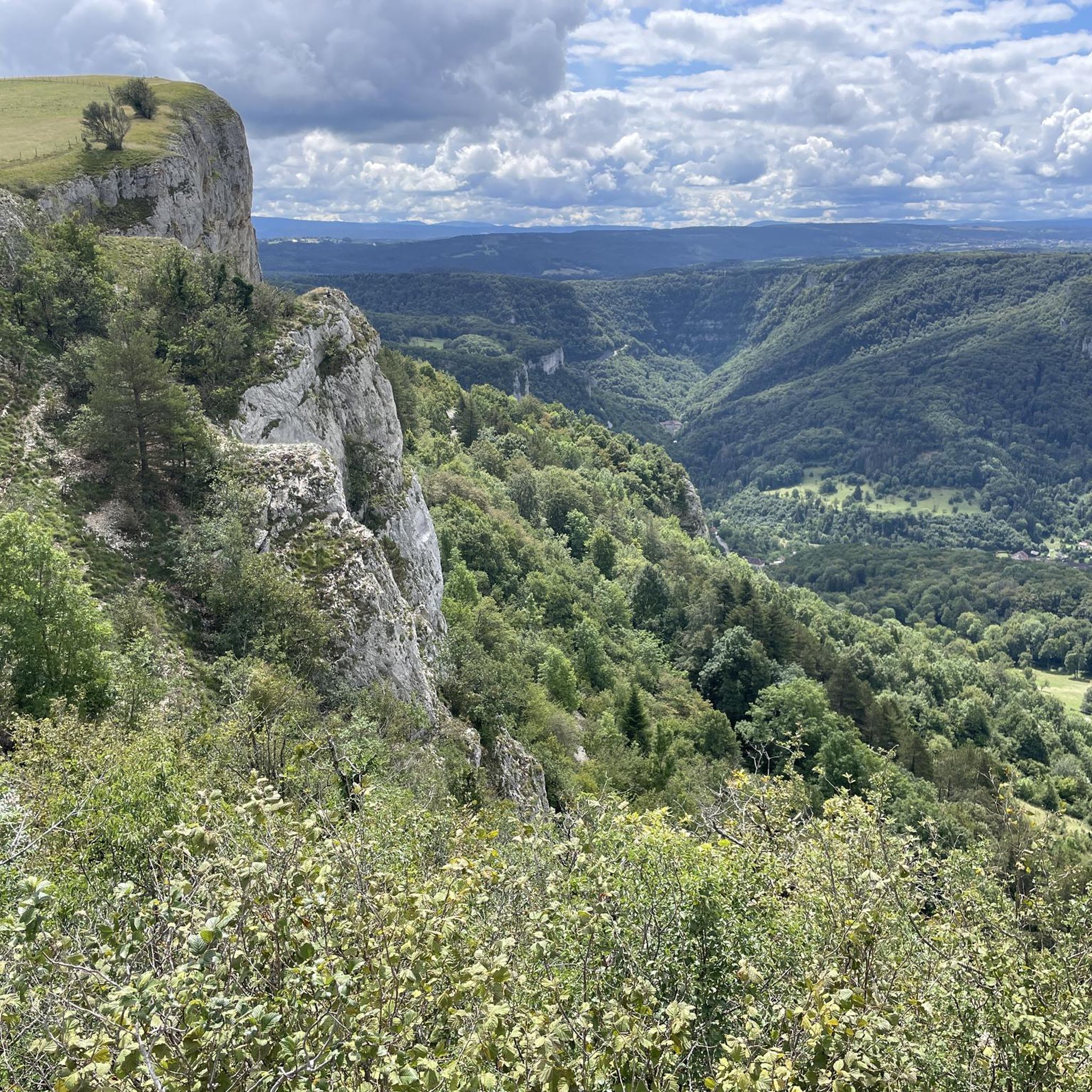
It's an understatement to say that we never tire of the viewpoints in the area. This gives a particularly clear view of the valley. If you missed the previous one, here's a great catch-up session to enjoy the view from the cliffs.
1
0
This small path takes you along the edge of the cliff, under the trees, to discover quite astonishing limestone formations. a playful route with plenty of viewpoints over the valley.
2
0
Frequently Asked Questions
How many hiking trails are available around Lavans-Vuillafans?
There are over 170 hiking trails in the Lavans-Vuillafans region. This extensive network offers a wide variety of options, from easy strolls along the river to more challenging ascents into the forested hills.
What is the general difficulty level of hikes in Lavans-Vuillafans?
The trails around Lavans-Vuillafans cater to all levels. You'll find approximately 60 easy routes, 85 moderate trails, and 28 more difficult options, ensuring there's a suitable hike for every experience level.
What do other hikers enjoy most about the trails in Lavans-Vuillafans?
The area is highly rated by the komoot community, with an average score of 4.5 stars from over 800 reviews. Hikers frequently praise the diverse landscape, including the Loue river valley, panoramic views from rock formations like La Roche de Hautepierre, and the well-maintained network of trails.
Are there easy hikes suitable for beginners or families with young children?
Yes, there are many easy routes perfect for beginners and families. A great option is the Belvédère de la Roche – View from the Roche de Hautepierre loop from Mouthier-Haute-Pierre, which is 2.5 miles (4.1 km) long and offers accessible views without significant challenge.
Are there any circular walks in the Lavans-Vuillafans area?
Many of the routes in Lavans-Vuillafans are designed as circular walks, allowing you to start and end at the same point. For example, the La Roche de Hautepierre — loop from Lods is a popular circular trail offering panoramic views.
Can I bring my dog on the hiking trails?
Generally, dogs are welcome on most hiking trails in the Lavans-Vuillafans region, especially if kept on a leash. It's always advisable to check local signage for any specific restrictions, particularly in nature reserves or protected areas. Remember to bring water for your dog and clean up after them.
What kind of natural attractions or landmarks can I see while hiking?
The region is rich in natural beauty. You can explore the Source de la Loue, a significant natural spring, or the dramatic Gorges de Noailles. Many trails also lead to stunning viewpoints like the Renédale Viewpoint, offering expansive vistas of the landscape.
What is the best time of year to go hiking in Lavans-Vuillafans?
Spring and autumn are generally considered the best times for hiking in Lavans-Vuillafans. Spring brings lush greenery and blooming wildflowers, while autumn offers vibrant fall foliage. Summer is also pleasant, though some trails might be busier. Winter hiking is possible, but some paths may be icy or snowy, requiring appropriate gear.
Is public transport available to reach hiking trailheads?
Public transport options directly to specific trailheads in Lavans-Vuillafans can be limited. It's often more convenient to travel by car to reach the starting points of many routes. However, some villages in the area may have bus connections, so checking local transport schedules for your specific starting point is recommended.
Where can I find parking for hiking trails in Lavans-Vuillafans?
Most popular trailheads and villages in the Lavans-Vuillafans region offer designated parking areas. For example, starting points in Lods or Mouthier-Haute-Pierre typically have parking available. It's always a good idea to check the specific route details on komoot for information on parking at the trailhead you plan to use.
Are there any less-known or 'hidden gem' hikes in the area?
While many trails are well-loved, exploring some of the slightly less frequented paths can reveal hidden gems. Consider the Old bridge over the Loue – Monk's Viewpoint loop from Lods for a beautiful journey that combines river views with elevated perspectives, offering a slightly different experience from the most popular routes.
Are there any hikes that feature water elements like rivers or waterfalls?
Yes, the Loue river is a central feature of the landscape, and many hikes follow its course. You can explore trails that lead to the Source of the Loue, where the river emerges from the ground. The Belvédère de la Roche – Old bridge over the Loue loop from Lods is an excellent choice for experiencing the riverbanks and viewpoints overlooking the water.
Most popular routes around Lavans-Vuillafans
Most popular attractions around Lavans-Vuillafans

Get inspired with the komoot mobile app


Explore more
Browse the best Hikes in other regions.
