The best walks and hikes around Bray-Lès-Mareuil
4.5
(171)
1,056
hikers
90
hikes
Hiking trails around Bray-Lès-Mareuil are situated in the Somme department of the Hauts-de-France region, characterized by a varied topography and numerous waterways. The commune's elevation ranges from 4 to 104 meters, offering a mix of flatter paths along rivers and gentle ascents. Key natural features include the River Doigt, the River Bellifontaine, and the Étang de l'Eauette, a 12-hectare pond. The area provides an accessible network of paths for outdoor exploration.
Best hiking trails around Bray-Lès-Mareuil
- The most popular hiking…
Last updated: July 9, 2026
4.7
(3)
29
hikers
12.2km
03:10
70m
70m
Moderate hike. Good fitness required. Easily-accessible paths. Suitable for all skill levels.
4.5
(4)
20
hikers
Easy hike. Great for any fitness level. Easily-accessible paths. Suitable for all skill levels.

Sign up for free
4.3
(4)
14
hikers
9.17km
02:29
120m
120m
Moderate hike. Good fitness required. Easily-accessible paths. Suitable for all skill levels.
4.5
(4)
19
hikers
6.44km
01:38
20m
20m
Easy hike. Great for any fitness level. Easily-accessible paths. Suitable for all skill levels.
4.0
(1)
9
hikers
10.6km
02:49
110m
110m
Moderate hike. Good fitness required. Easily-accessible paths. Suitable for all skill levels.
Get access to more routes and recommendations from other explorers.
Sign up for free
Already have an account?
Our route recommendations are based on thousands of hikes, rides, and runs completed by other people on komoot.
Start today with a free account
Your next adventure awaits.
Login or Signup

Tips from the Community

Visit the Fondation de France website to make a donation for the restoration of this historical heritage
0
0

The previous church of Pont-Rémy was built in the 15th century near the feudal castle. Its dilapidation led the municipality to decide to build a new place of worship in the center of the village. Construction lasted from 1867 to 1871.
0
0


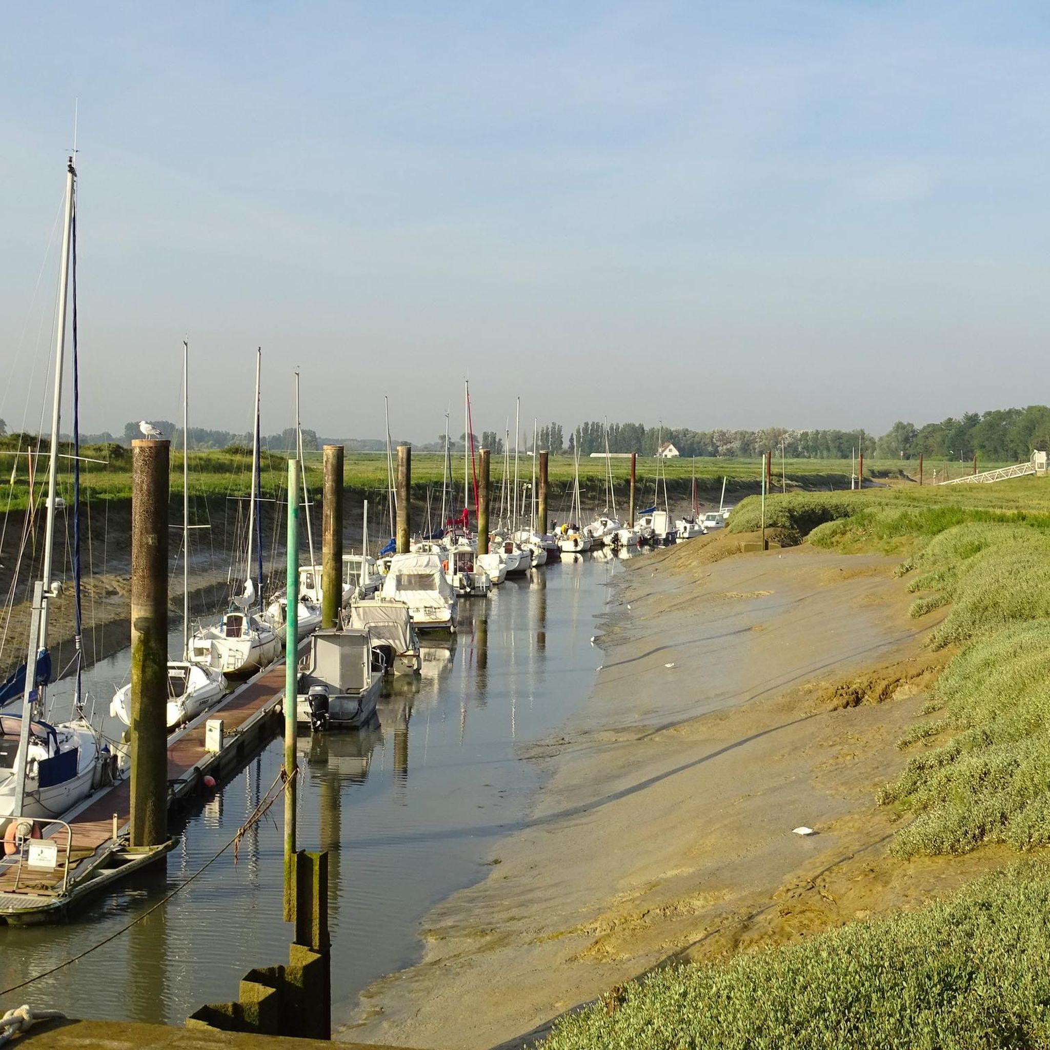
Houseboat where you can stop for refreshments.
1
0

The ruins of Pont-Rémy Castle are located on an island between the old Somme and the canalized Somme.
0
0

A dilapidated mansion with what was once a beauty.
2
0

Pretty building to see on the other bank from the towpath
1
0
Frequently Asked Questions
How many hiking trails are available around Bray-Lès-Mareuil?
The area around Bray-Lès-Mareuil offers a comprehensive network of over 80 hiking trails. These routes cater to various preferences, ranging from easy strolls to more challenging hikes.
What kind of terrain can I expect on hikes in Bray-Lès-Mareuil?
The terrain in Bray-Lès-Mareuil is characterized by a varied topography with elevations ranging from 4 to 104 meters. You'll find a mix of flatter paths, particularly along the rivers and the Étang de l'Eauette, and gentle ascents through the surrounding landscapes. The region is known for its waterways and natural scenery.
Are there any easy hiking trails suitable for beginners or families?
Yes, Bray-Lès-Mareuil has many easy trails. Approximately 44 of the available routes are rated as easy, making them suitable for beginners or families. An example is The Canalized Somme – The Somme canalised loop from Eaucourt-sur-Somme, which is 3.5 miles (5.6 km) long and offers a pleasant walk along the canalized river.
Can I find circular hiking routes in the area?
Many of the trails around Bray-Lès-Mareuil are designed as circular routes, allowing you to start and end at the same point. For instance, the Eaucourt Castle loop from Mareuil-Caubert is a popular circular option, covering 8.3 miles (13.4 km) and passing by historical sites.
What natural features can I see while hiking in Bray-Lès-Mareuil?
The region is rich in natural features, primarily its waterways. You can explore paths along the River Doigt, the River Bellifontaine, and the scenic Étang de l'Eauette, a 12-hectare pond. The area's designation as part of the Baie de Somme - Picardie maritime regional natural park project highlights its commitment to preserving natural beauty and biodiversity.
Are there any historical landmarks or castles to explore on the trails?
Yes, several trails offer views of historical landmarks. For example, the View of Epagne castle loop from Mareuil-Caubert provides scenic views of the surrounding landscape and castles. You can also find nearby attractions like Eaucourt-sur-Somme Castle and Long Castle.
What do other hikers enjoy most about hiking in Bray-Lès-Mareuil?
The hiking routes in Bray-Lès-Mareuil are highly rated by the komoot community, with an average score of 4.5 stars from over 150 reviews. Hikers often praise the varied terrain, the unique environment surrounding the canalized rivers, and the accessibility of the trail network for different ability levels.
Are there any longer distance hikes available?
While many routes are moderate in length, you can combine trails or explore longer loops. The Eaucourt Castle loop from Mareuil-Caubert is one of the longer options at 8.3 miles (13.4 km), offering a more extended experience through historical sites and natural landscapes.
Is Bray-Lès-Mareuil part of a larger natural park?
Bray-Lès-Mareuil is situated in the Somme department and is part of a project for the Baie de Somme - Picardie maritime regional natural park. This initiative focuses on preserving the natural beauty and biodiversity of the area, making it an excellent destination for nature-focused outdoor activities.
What is the best way to experience the canalized Somme River?
To experience the unique environment of the canalized Somme River, consider routes like The Somme canalised – The Canalized Somme loop from Pont-Remy. This easy 3.9-mile (6.2 km) trail allows you to walk alongside the river, observing its distinct character and surrounding nature.
Are there any challenging hikes in the region?
While most trails are easy to moderate, there is at least one route classified as difficult. The overall elevation gain in the commune is generally gentle, with a maximum of around 1000 feet (300 meters) on some trails, so 'difficult' typically refers to longer distances or more varied terrain rather than steep ascents.
Most popular routes around Bray-Lès-Mareuil
Most popular attractions around Bray-Lès-Mareuil

Get inspired with the komoot mobile app


Explore more
Browse the best Hikes in other regions.
