The best walks and hikes around L'Étoile
4.5
(160)
848
hikers
74
hikes
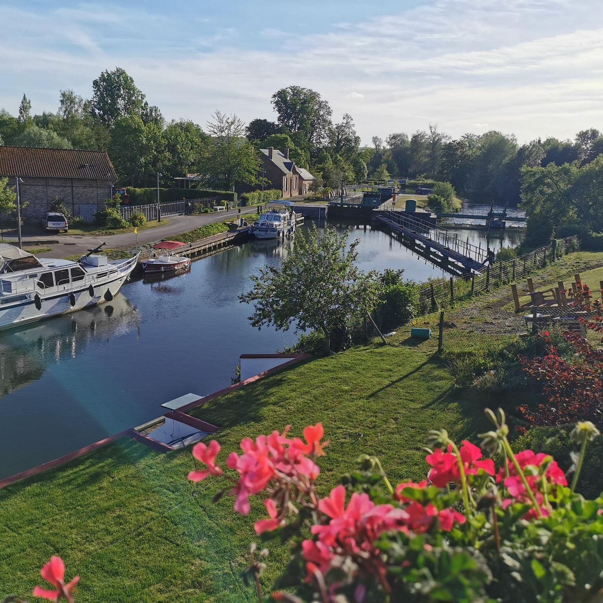
Hiking around L'Étoile offers trails primarily characterized by flat terrain and proximity to waterways. The region features paths along riverbanks and around locks, with minimal elevation changes. These routes provide access to the local landscape, often following the course of rivers like the Somme.
Best hiking trails around L'Étoile
- The most popular hiking route is Les Bords de Somme Trail, a 5.5 miles (8.8 km) moderate trail that takes 2 hours 15 minutes to complete. This route follows the…
Last updated: July 1, 2026
4.6
(19)
55
hikers
8.83km
02:15
30m
30m
Moderate hike. Good fitness required. Mostly accessible paths. Sure-footedness required.
4.8
(13)
69
hikers
7.86km
01:59
10m
10m
Easy hike. Great for any fitness level. Easily-accessible paths. Suitable for all skill levels.

Sign up for free
4.8
(12)
38
hikers
10.9km
02:47
30m
30m
Moderate hike. Good fitness required. Easily-accessible paths. Suitable for all skill levels.
4.8
(4)
38
hikers
7.73km
01:57
20m
20m
Easy hike. Great for any fitness level. Easily-accessible paths. Suitable for all skill levels.
4.6
(5)
24
hikers
5.25km
01:20
10m
10m
Easy hike. Great for any fitness level. Easily-accessible paths. Suitable for all skill levels.
Get access to more routes and recommendations from other explorers.
Sign up for free
Already have an account?
Our route recommendations are based on thousands of hikes, rides, and runs completed by other people on komoot.
Start today with a free account
Your next adventure awaits.
Login or Signup

Tips from the Community

take a right and a nice little detour
0
0
There are other routes nearby.
0
0

Two impressive castles along the Somme.
3
0

More information about the castle 🏰👇 https://www.chateaudelong.fr
1
0
Crashed at Long on 20 May 1944 Recovered on 12 September 1998 These two important parts were recovered in September 1998 from the pond where the Lancaster was damaged after being shot down.
0
0
Frequently Asked Questions
What is the typical terrain like for hiking around L'Étoile?
Hiking around L'Étoile is characterized by predominantly flat terrain, often following riverbanks and paths around locks. You can expect minimal elevation changes, making most routes accessible and pleasant for leisurely walks along waterways like the Somme River.
How many hiking trails are available around L'Étoile?
There are over 75 hiking trails available around L'Étoile. The majority are classified as easy or moderate, with 30 easy routes and 45 moderate options, ensuring there's a suitable path for various fitness levels.
Are there any easy circular walks in L'Étoile?
Yes, L'Étoile offers several easy circular walks. A popular option is the Around Long Lock – Long Castle loop from Long, which is an easy 4.9-mile (7.9 km) path exploring the area around a lock and a castle. Another is the Long Castle – Around Long Lock loop from Long, a shorter 3.3-mile (5.2 km) easy route.
What kind of landmarks or attractions can I see along the hiking trails?
Many trails in L'Étoile offer views of local landmarks and natural features. You can explore the Somme Valley, the historic Long Castle, and the Long Hydroelectric Power Plant. The area around Long Lock is also a frequent point of interest on many routes.
Are the hiking trails around L'Étoile suitable for families with children?
Given the predominantly flat terrain and the abundance of easy and moderate routes, many trails around L'Étoile are well-suited for families with children. Paths along the riverbanks and around locks provide gentle walks without significant challenges.
Can I bring my dog on the hiking trails in L'Étoile?
While specific regulations can vary, the generally flat and open nature of the riverine paths around L'Étoile makes many trails suitable for dogs. It's always recommended to keep your dog on a leash and ensure you clean up after them.
What do other hikers enjoy most about hiking in L'Étoile?
The komoot community highly rates the hiking experience in L'Étoile, with an average score of 4.6 stars from over 140 reviews. Hikers often praise the peaceful riverine landscapes, the well-maintained paths, and the accessibility of routes that offer a relaxing outdoor experience.
Are there any specific trails that offer good picnic spots?
Yes, the Ideal spot for a picnic – The Somme River loop from Long is specifically named for its excellent picnic opportunities along the Somme River. Many other routes along the riverbanks also provide scenic spots to stop and enjoy a meal outdoors.
What is the best time of year to go hiking in L'Étoile?
The flat terrain and proximity to waterways make L'Étoile enjoyable for hiking throughout much of the year. Spring and autumn offer pleasant temperatures and beautiful scenery, while summer provides longer daylight hours. Even in winter, the low elevation changes mean trails are generally accessible, though conditions can be damp.
Are there any routes that follow the Somme River for a significant distance?
Absolutely. The region is defined by its connection to the Somme River. The Les Bords de Somme Trail is a prime example, offering a 5.5-mile (8.8 km) moderate route that closely follows the riverbanks. Another option is the Around Long Lock – The Somme River loop from Longpré-les-Corps-Saints, a 6.6-mile (10.7 km) trail leading through riverine landscapes.
What kind of wildlife might I encounter while hiking in L'Étoile?
While specific wildlife data for this L'Étoile is limited, riverine environments like the Somme Valley are typically rich in birdlife, including waterfowl and various songbirds. You might also spot small mammals and insects common to wetland and agricultural areas.
Most popular routes around L'Étoile
Most popular attractions around L'Étoile

Get inspired with the komoot mobile app


Explore more
Browse the best Hikes in other regions.
