The best walks and hikes around Villery
4.5
(93)
481
hikers
98
hikes
Hiking around Villery provides access to diverse natural landscapes within the Seine-et-Marne department of France, extending into the broader Île-de-France region. The area is characterized by a mix of vast woods, forests, and open agricultural fields, offering varied terrain for outdoor activities. Trails often traverse gentle valleys and meadows, with some routes incorporating historical sites. The landscape includes moderate inclines and offers opportunities for long countryside walks.
Best hiking trails around Villery
- The most popular hiking route is Sentier du…
Last updated: July 4, 2026
4.3
(3)
20
hikers
11.3km
03:13
200m
200m
Moderate hike. Good fitness required. Mostly accessible paths. Sure-footedness required.
4.5
(2)
11
hikers
16.5km
04:46
330m
330m
Moderate hike. Good fitness required. Mostly accessible paths. Sure-footedness required.

Sign up for free
4.0
(2)
14
hikers
27.6km
08:05
600m
610m
Hard hike. Very good fitness required. Mostly accessible paths. Sure-footedness required.
12
hikers
8.43km
02:24
180m
180m
Moderate hike. Good fitness required. Mostly accessible paths. Sure-footedness required.
5.0
(1)
7
hikers
20.4km
05:59
460m
460m
Hard hike. Very good fitness required. Sure-footedness, sturdy shoes and alpine experience required.
Get access to more routes and recommendations from other explorers.
Sign up for free
Already have an account?
Our route recommendations are based on thousands of hikes, rides, and runs completed by other people on komoot.
Start today with a free account
Your next adventure awaits.
Login or Signup

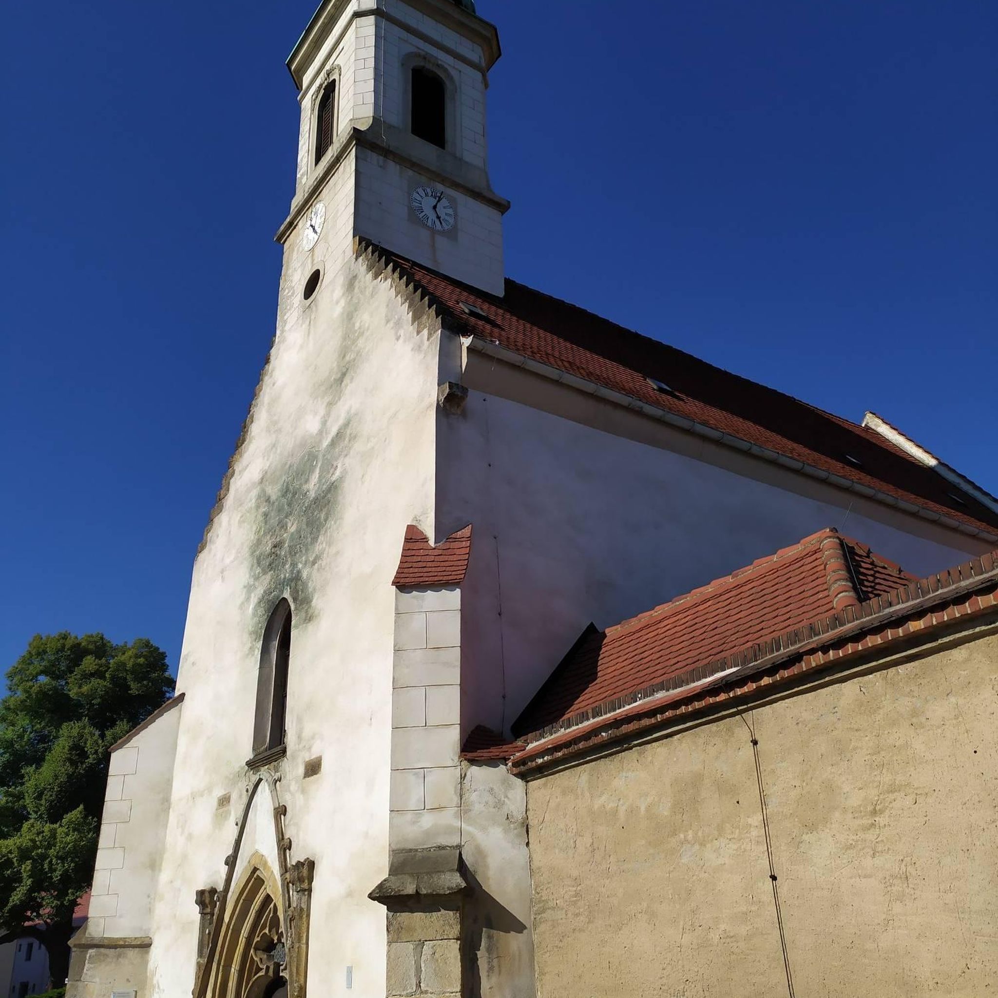
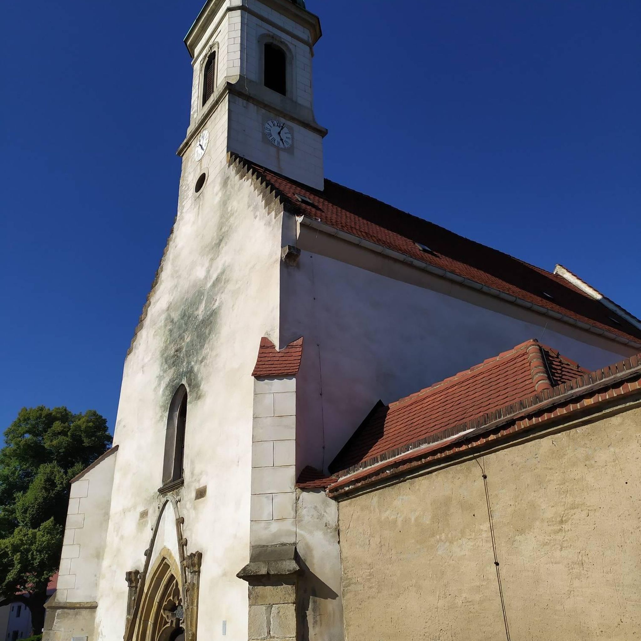

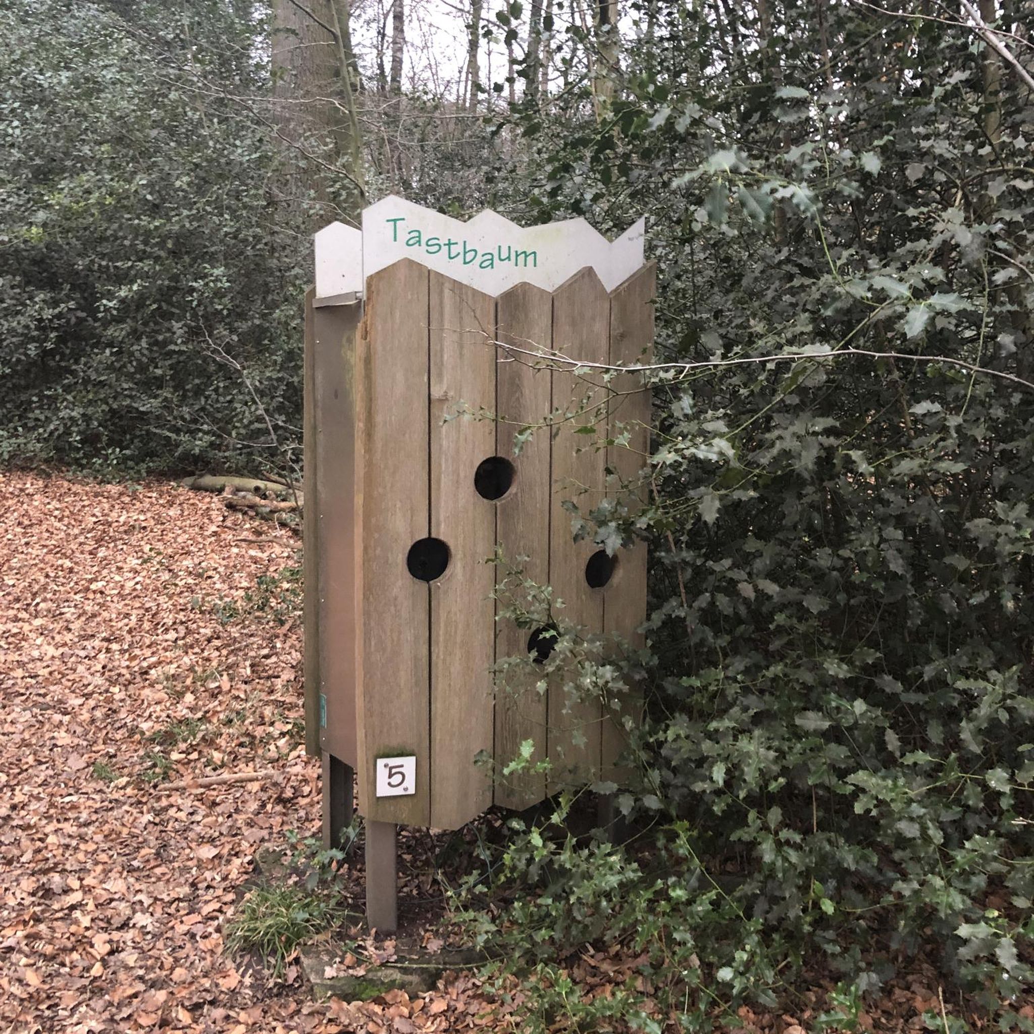
Tips from the Community


Today wooded - several markers indicate the most remarkable species - the mound opens onto a clearing where two ponds and a fountain indicating a source stand. At the bottom, several paths rise, sometimes abruptly, to the oppidum overlooking the site, crossing a double crown of ditches using footbridges. From there, several panoramas unfold offering breathtaking views of the city of Troyes and the Champagne plain.
0
0

The Montaigu fountain and pond are perfect places to take a break. The place has a picnic table and playground. On the hill of Montaigu, located above the source, was once the castle of the Counts of Champagne. The stronghold was destroyed in the 15th century following the Treaty of Troyes. At the top of the mountain, you have a panoramic view of the plain.
0
0

Come to a club to help its members maintain these trails.
0
0

This natural site offers a breathtaking view of the city and the Champagne plain from the top of a hill which once housed a medieval castle. You can also discover the wooded paths, the old ditches and the fountain which marks a source. Picnic tables and benches will allow you, if you wish, to rest for a moment during your race.
2
0
This monument, erected in 1946, pays tribute to the resistance fighters of the Libé-Nord movement who fought against the Nazis during the Second World War. A quiet place to take a break from your run and enjoy a panoramic view of the Champagne plain.
2
0
The Fontaine de Montaigu is a source which feeds two pools and a fountain, surrounded by a wooded hill which offers a panoramic view of the Champagne plain. La Fontaine de Montaigu is a great place to run. Don't forget to admire the beauty of the fountain and pools, which are said to have healing properties.
2
0
Frequently Asked Questions
How many hiking trails are available around Villery?
There are over 60 hiking routes around Villery, offering a wide range of options for different abilities and preferences. These include 7 easy trails, 55 moderate routes, and 5 more challenging hikes.
What types of landscapes can I expect to see while hiking near Villery?
Hiking around Villery offers a diverse landscape characterized by vast woods, dense forests, and open agricultural fields. You'll also find gentle valleys, meadows, and rivers, especially as you venture towards the broader Île-de-France region and the Haute Vallée de Chevreuse Regional Natural Park.
Are there easy hiking options for beginners or families?
Yes, Villery offers several easy hiking options suitable for beginners or families. For example, the Very nice forest trail loop from Sommeval is an easy 3.9-mile (6.2 km) route that takes about 2 hours to complete, providing a pleasant experience through the forest.
What interesting places or landmarks can I discover along the trails?
Many trails around Villery lead to interesting landmarks and natural features. You can visit the Montaigu Fountain and Pond, explore the Monument of Montaigu, or enjoy views from Descent/ascent on/from Sommeval. The wider region also features charming villages and historical sites like medieval castles and abbeys.
Are there any circular walks available around Villery?
Yes, many of the hiking routes around Villery are circular, allowing you to start and end at the same point. An example is the Montaigu Fountain loop from Bouilly, a moderate 6.8-mile (10.9 km) trail that explores forest and open countryside.
What do other hikers say about the trails around Villery?
The trails around Villery are highly rated by the komoot community, with an average score of 4.6 stars from over 70 reviews. Hikers often praise the varied terrain, from dense woodlands to open fields, and the well-maintained paths that offer a rewarding outdoor experience.
Can I bring my dog on the hiking trails in Villery?
The natural areas around Villery, including the forests and open fields, are generally welcoming for dogs. However, it's always recommended to keep your dog on a leash, especially in areas with wildlife or near agricultural land, and to check specific trail regulations if available.
What kind of wildlife might I encounter on the trails?
The diverse natural environment around Villery, particularly in the nearby Haute Vallée de Chevreuse Regional Natural Park, supports abundant plant and animal life. Hikers might spot various bird species, small mammals, and insects. Keep an eye out for deer or wild boar in the denser forest areas, especially during quieter times of day.
Are there any longer or more challenging hikes for experienced hikers?
For experienced hikers seeking a challenge, there are 5 difficult routes available. One such option is the Montaigu – Montaigu Fountain and Pond loop from Bouilly, a demanding 17.1-mile (27.5 km) trail with significant elevation changes, typically taking over 8 hours to complete.
What is the best time of year to go hiking in Villery?
The best time to hike in Villery is generally during spring, summer, and early autumn. Spring brings blooming flora, while summer offers warm weather for long days on the trails. Autumn provides beautiful foliage. Winter hiking is possible, but some paths might be muddy or slippery, and daylight hours are shorter.
Is parking available at the trailheads around Villery?
While specific parking information for every trailhead isn't always detailed, many hiking areas in rural France, including those around Villery, typically have designated parking spots near popular starting points or in nearby villages. It's advisable to check local maps or komoot tour details for specific parking recommendations before your hike.
How can I get to the hiking trails around Villery using public transport?
Villery is a commune in Seine-et-Marne, and while direct public transport to every trailhead might be limited, the broader Île-de-France region is well-served by regional trains (Transilien) and buses. You may need to combine public transport with a short walk or taxi ride to reach specific starting points. Checking local bus routes from nearby towns is recommended.
Most popular attractions around Villery

Get inspired with the komoot mobile app


Explore more
Browse the best Hikes in other regions.
