The best walks and hikes around Labruyère
4.4
(87)
261
hikers
85
hikes
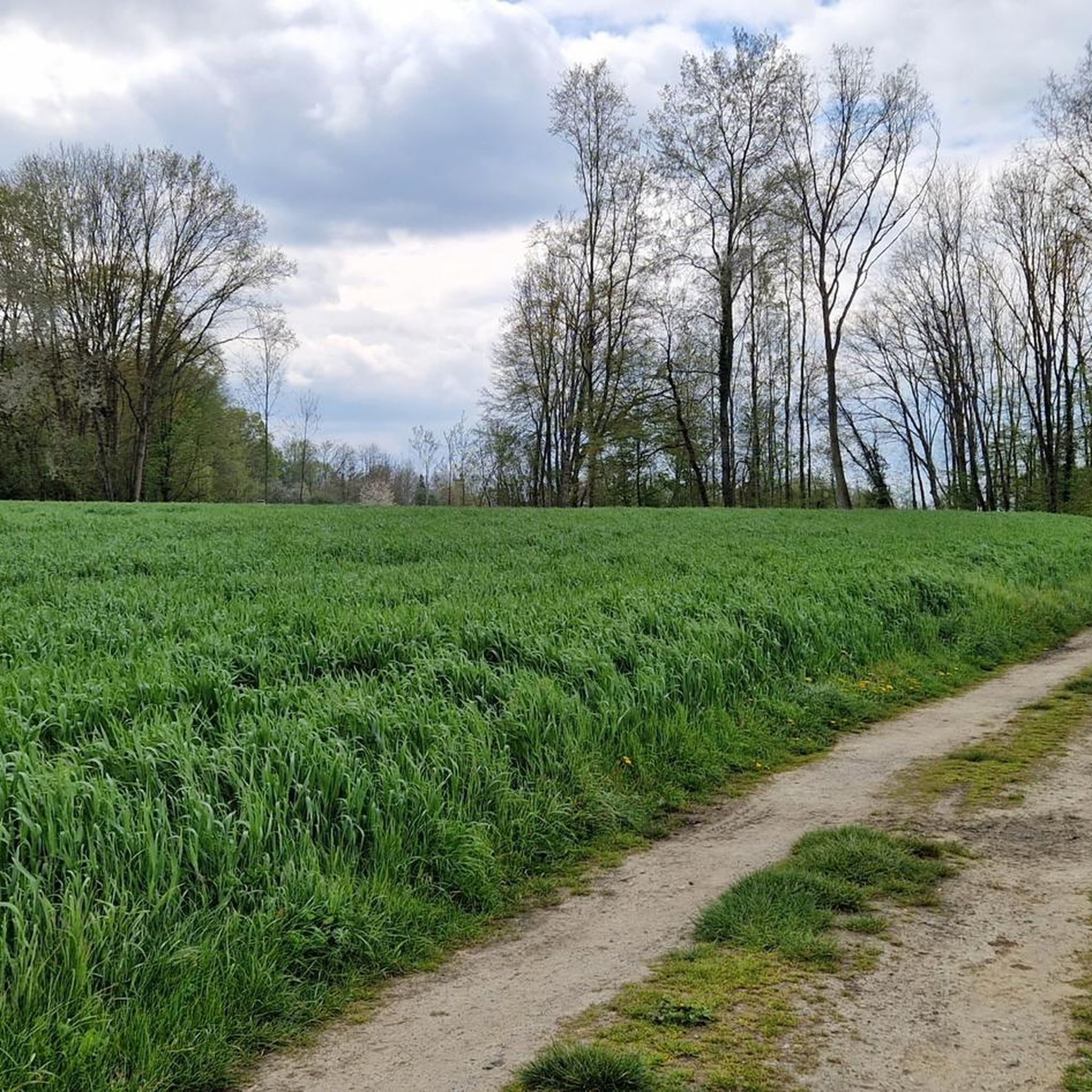
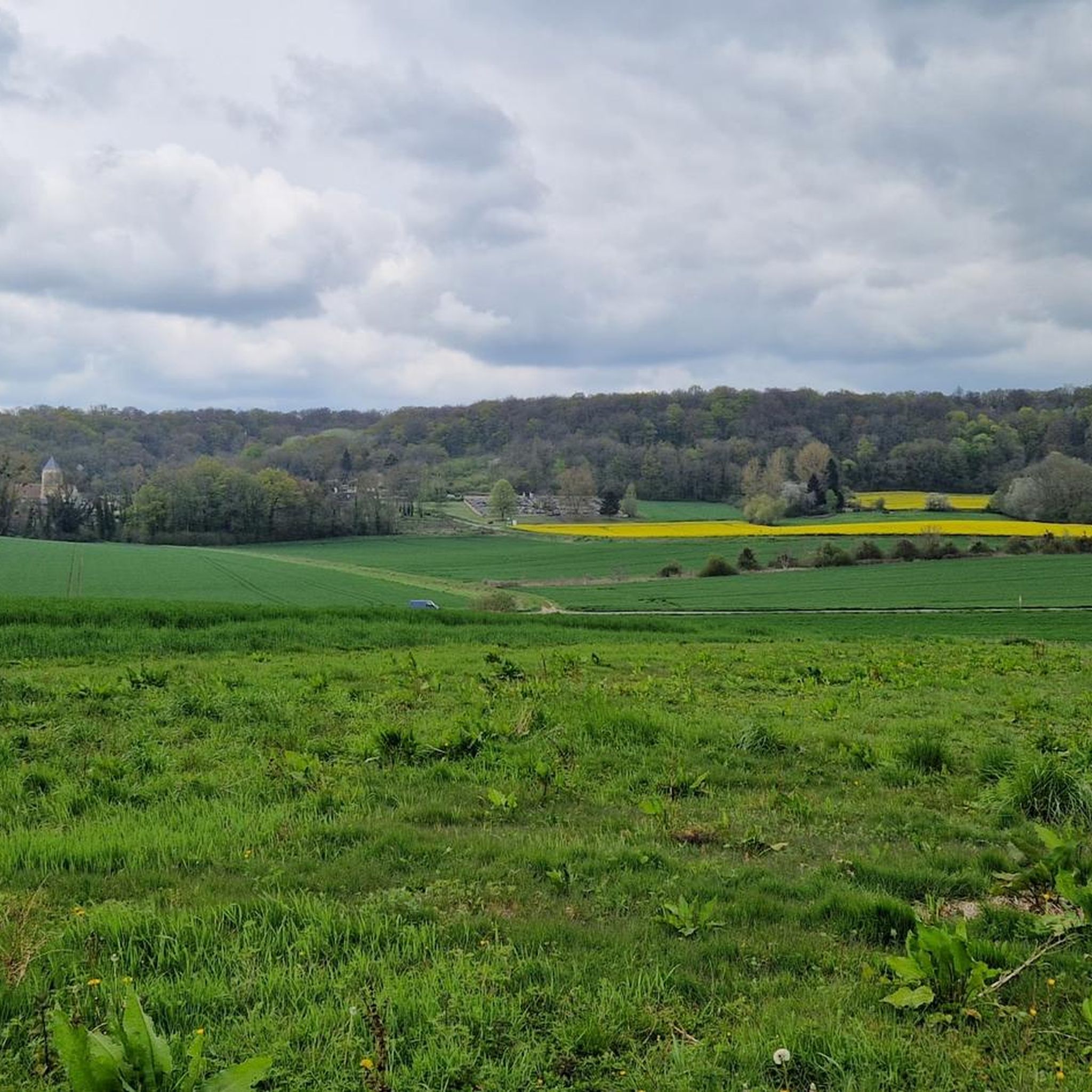
Hiking trails around Labruyère, France, traverse a landscape characterized by rolling hills and lush forests. The region offers a variety of paths suitable for different experience levels, from gentle walks to more extended excursions. Hikers can expect to encounter open fields, wooded sections, and small water features. The terrain generally features modest elevation changes, making it accessible for many.
Best hiking trails around Labruyère
- The most popular hiking route is Hiking loop from Monceaux, a 5.4 miles (8.8 km)…
Last updated: July 5, 2026
4.3
(6)
10
hikers
9.68km
02:27
20m
20m
Moderate hike. Good fitness required. Easily-accessible paths. Suitable for all skill levels.
5.0
(3)
6
hikers
11.5km
03:13
210m
210m
Moderate hike. Good fitness required. Easily-accessible paths. Suitable for all skill levels.

Sign up for free
5.0
(1)
5
hikers
13.7km
03:37
130m
130m
Moderate hike. Good fitness required. Easily-accessible paths. Suitable for all skill levels.
4
hikers
12.9km
03:33
210m
200m
Moderate hike. Good fitness required. Easily-accessible paths. Suitable for all skill levels.
4
hikers
6.73km
01:51
110m
110m
Easy hike. Great for any fitness level. Easily-accessible paths. Suitable for all skill levels.
Get access to more routes and recommendations from other explorers.
Sign up for free
Already have an account?
Our route recommendations are based on thousands of hikes, rides, and runs completed by other people on komoot.
Start today with a free account
Your next adventure awaits.
Login or Signup


Tips from the Community


Nestled between the church and the village, the Étournelles vegetable garden in Breuil-le-Sec, created in 1851 by landscaper Louis-Sulpice Varé, retains the charm of its original English-style garden. Behind its high walls, eight squares bordered by boxwood are planted with vegetables, fruits, and flowers in a perfect balance between aesthetics and production. Maintained continuously for over 160 years, this rare, nourishing garden has been listed in the Inventory of Historic Monuments since 2004.
0
0

Frequently Asked Questions
How many hiking trails are available around Labruyère?
There are over 60 hiking trails around Labruyère, offering a variety of experiences. These routes traverse rolling hills, lush forests, and open fields, characteristic of the Oise department in northern France.
Are there easy hiking options suitable for beginners or families?
Yes, Labruyère offers 27 easy hiking routes, perfect for beginners or family outings. These trails typically feature modest elevation changes, making them accessible for most fitness levels. An example of an easy route is the Church of Nointel loop from Nointel, which is about 6.7 km long.
What kind of natural features or landmarks can I expect to see on the trails?
Hiking around Labruyère, you'll encounter a landscape of rolling hills and dense forests. Some routes may lead you past historical sites or natural points of interest. For example, the Breuil-Le-Sec Pond – Étournelles Castle loop from Breuil-le-Sec offers views of a pond and historical castle grounds. You can also explore nearby attractions like the Royal Abbey of Moncel or the King of Rome Obelisk.
Are there any circular hiking routes in the area?
Many of the trails around Labruyère are circular, allowing you to start and end at the same point. A popular circular route is the Hiking loop from Monceaux, which is 8.8 km long and takes approximately 2 hours and 13 minutes to complete.
What do other hikers say about the trails in Labruyère?
The trails in Labruyère are highly regarded by the komoot community, with an average rating of 4.5 stars from over 30 reviews. Hikers often praise the quiet woodlands, well-maintained paths, and the peaceful atmosphere of the region's diverse terrain.
Are the hiking trails in Labruyère suitable for dogs?
Many trails in the Labruyère region, characterized by its forests and open fields, are generally suitable for dogs. However, it's always recommended to keep your dog on a leash, especially when passing through agricultural areas or near wildlife, and to check local regulations for specific routes.
Are there longer, more challenging hikes for experienced trekkers?
While the region is known for its gentle terrain, there are 4 more difficult routes for those seeking a greater challenge. Additionally, there are 38 moderate trails, such as the Nointel short circuit – Church of Nointel loop from Catenoy, which covers nearly 13 km with some elevation gain.
When is the best time of year to go hiking in Labruyère?
The rolling hills and lush forests of Labruyère are enjoyable throughout much of the year. Spring and autumn offer pleasant temperatures and beautiful scenery, with blooming flowers or vibrant fall foliage. Summer is also suitable, though some trails might be more exposed to the sun. Winter hiking is possible, but conditions can vary, so checking local weather is advisable.
Are there places to eat or get refreshments near the hiking trails?
While specific cafes directly on every trail might be limited, the region has villages and towns where you can find refreshments. Some routes, like the Étournelles vegetable garden – Étournelles Castle loop from Breuil-le-Sec, pass through areas where you might find local establishments. The nearby attractions also include a highlight named Refreshments guaranteed, suggesting options are available in the broader area.
Is parking available at the trailheads?
Parking is generally available in the villages and towns that serve as starting points for many of the trails in Labruyère. It's advisable to check specific route descriptions on komoot for details on designated parking areas near your chosen trailhead.
What are some less crowded hiking options in Labruyère?
To find less crowded options, consider exploring some of the 27 easy or 38 moderate routes that are not among the most popular. The region's extensive network of trails through forests and fields means you can often find peaceful paths away from busier spots, especially during weekdays or off-peak hours.
Most popular routes around Labruyère
Most popular attractions around Labruyère

Get inspired with the komoot mobile app


Explore more
Browse the best Hikes in other regions.
