The best walks and hikes around Longeville
4.5
(998)
5,200
hikers
160
hikes
Hiking around Longeville-sur-Mer, located in the Vendée department of western France, offers diverse natural landscapes. The area features extensive sandy beaches along 7.2 kilometers of coastline, dense forests like the Longeville State Forest spanning 560 hectares, and unique marshlands including Marais Neuf and the Jard-sur-Mer Marshes. These environments provide a variety of trails for outdoor activities.
Best hiking trails around Longeville
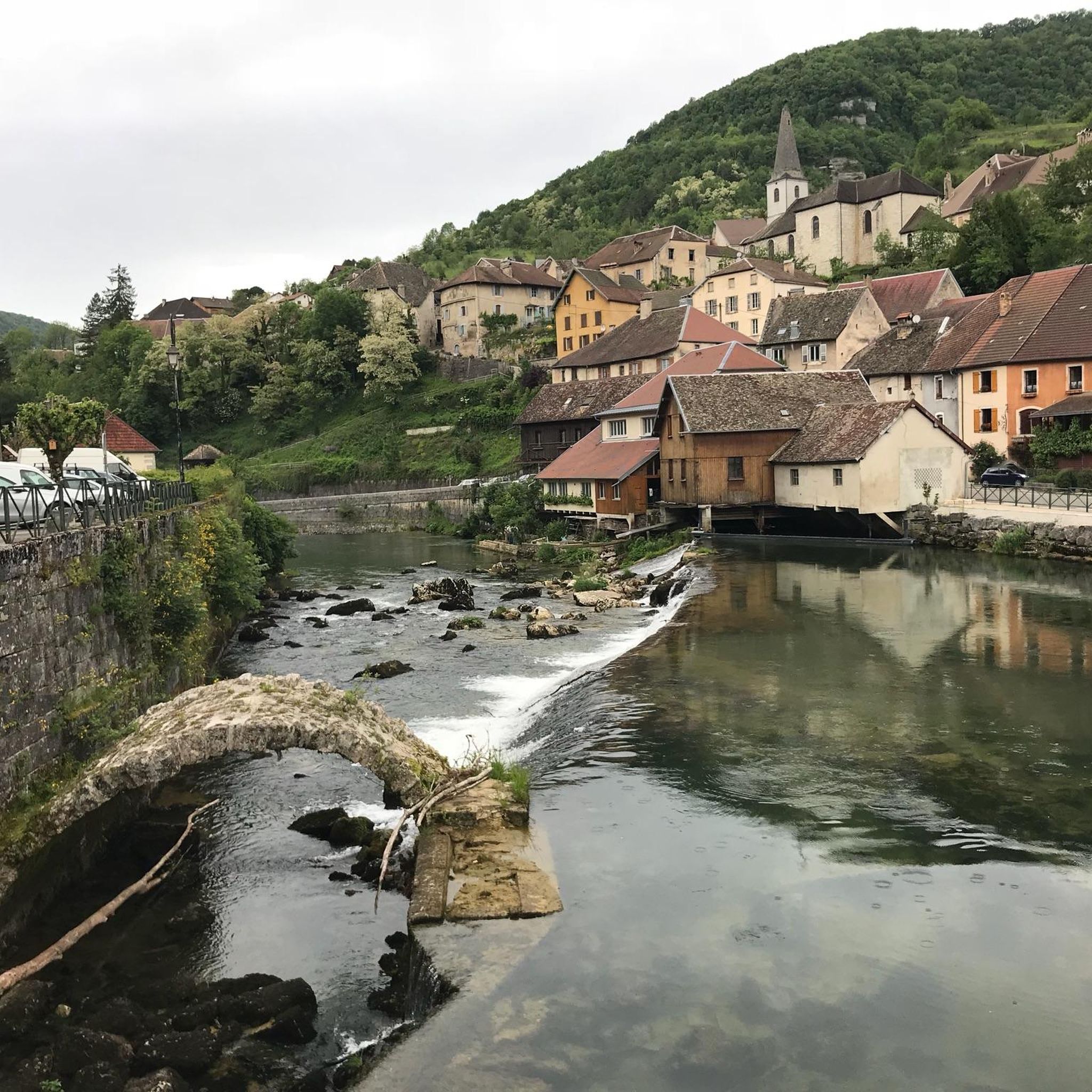
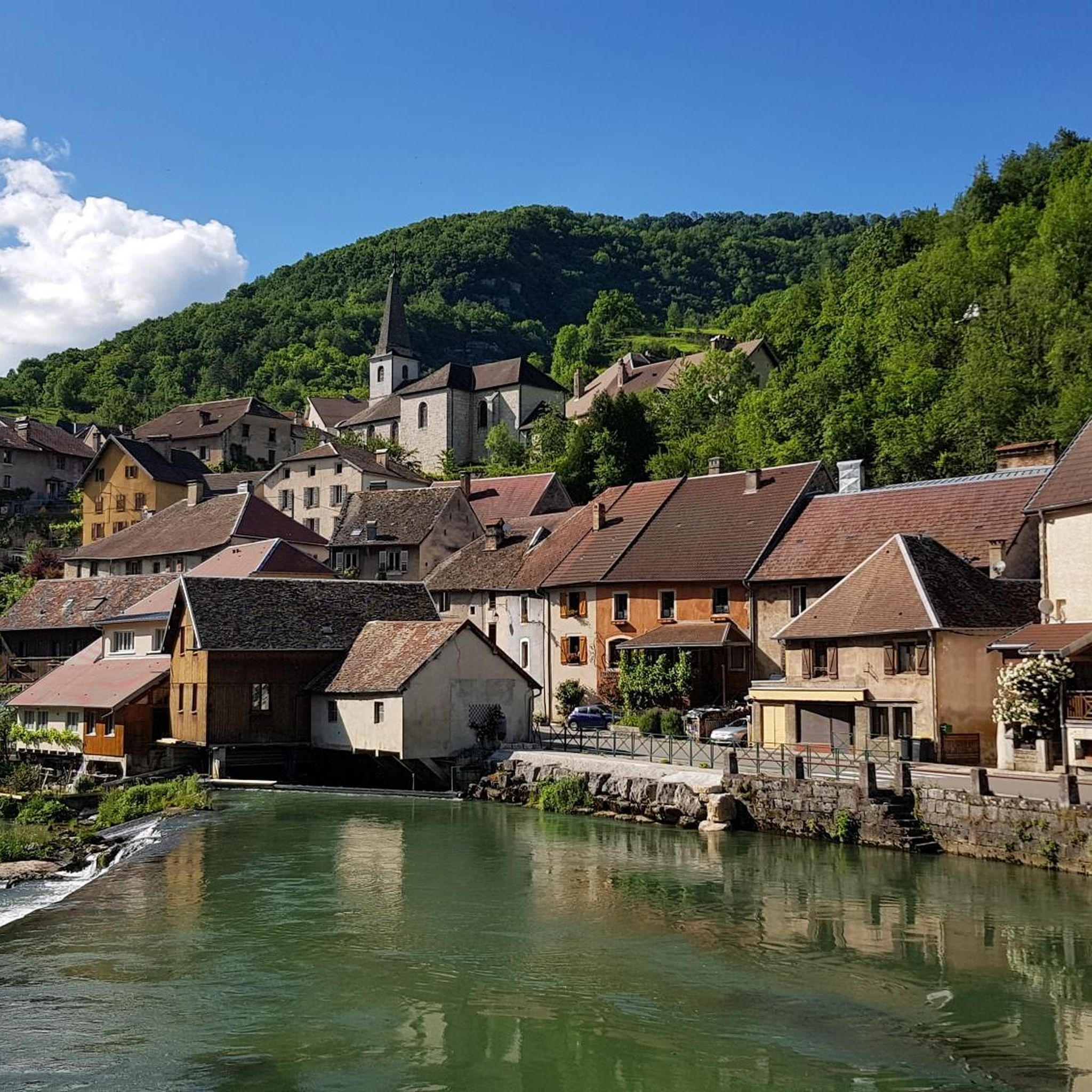
- The most popular hiking route is Old Bridge of Vuillafans – Old water mill loop from Doubs, a…
Last updated: October 22, 2026
4.5
(37)
137
hikers
9.83km
03:06
310m
310m
Moderate hike. Good fitness required. Mostly walkable paths. Sure-footedness required.
4.7
(19)
103
hikers
18.5km
05:22
460m
460m
Hard hike. Very good fitness required. Sure-footedness, sturdy shoes and alpine experience required.

4.4
(9)
48
hikers
11.0km
03:27
410m
410m
Moderate hike. Good fitness required. Easily walkable paths.
4.3
(8)
22
hikers
5.21km
01:29
120m
110m
Easy hike. Easily walkable paths.
4.5
(10)
28
hikers
8.54km
02:28
190m
190m
Moderate hike. Good fitness required. Mostly walkable paths. Sure-footedness required.
Get access to more routes and recommendations from other explorers.
Already have an account?
Our route recommendations are based on thousands of hikes, rides, and runs completed by other people on komoot.
Start today with a free account
Your next adventure awaits.

Tips from the Community

Unfortunately, there is no water flowing anymore 😔
0
0

Please note that the trail has been closed since 2022. The original plan was to secure the trail until 2023, but it was then extended to 2024, but it was still closed in 2025.
2
0

You can still see some old and newer buildings at the source of the Loue, as well as bridges and walls that probably belonged to the former mills here.
4
0
The source of the Loue River is announced by the rushing water even before you see it. It's impressive and magical to stand beneath the 150-meter-high cliffs and watch the river rush out of its cave.
5
1

The Loue draws charming landscapes known through the paintings of Gustave Courbet. In addition to Ornans, the most beautiful village in the valley, other places are worth exploring on the surrounding paths, such as this bridge located a little further upstream.
0
0

The Loue in Mouthier-Haute-Pierre is distinguished by its natural beauty and peaceful atmosphere. Here you will find a calming section of the river framed by spectacular cliffs, perfect for nature lovers and those seeking tranquility.
1
0

A river straight from the mountain - and then a spectacular waterfall!
0
0

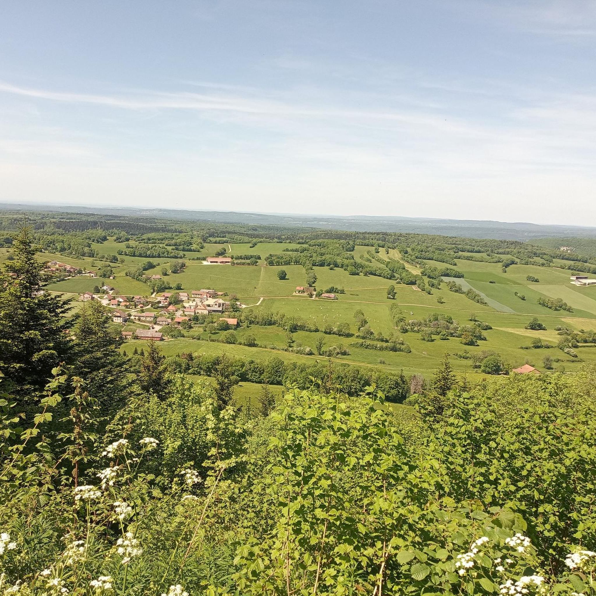
Belvedere at the end of the cliff, accessible by road bike. With its 300 meters of void, you can admire a superb panorama over the entire Loue valley and its villages. A round trip that is worth a look.
0
0
Frequently Asked Questions
How many hiking trails are available in Longeville?
Longeville offers a wide variety of hiking opportunities, with over 160 trails recorded on komoot. These routes cater to different preferences, including easy strolls, moderate treks, and more challenging hikes.
Are there easy hiking options suitable for beginners or families in Longeville?
Yes, Longeville has numerous easy hiking options. There are nearly 60 easy routes available, perfect for beginners, families with children, or those looking for a relaxed walk. An example of an easy trail is the Monk's Viewpoint – Renédale Viewpoint loop from Mouthier-Haute-Pierre, which is about 5.2 km long.
Can I find circular hiking routes in Longeville?
Yes, many of the hiking routes in Longeville are circular, allowing you to start and end at the same point. For instance, the Old Bridge of Vuillafans – Old water mill loop from Doubs is a popular circular trail covering about 9.8 km.
What kind of landscapes can I expect to see while hiking in Longeville?
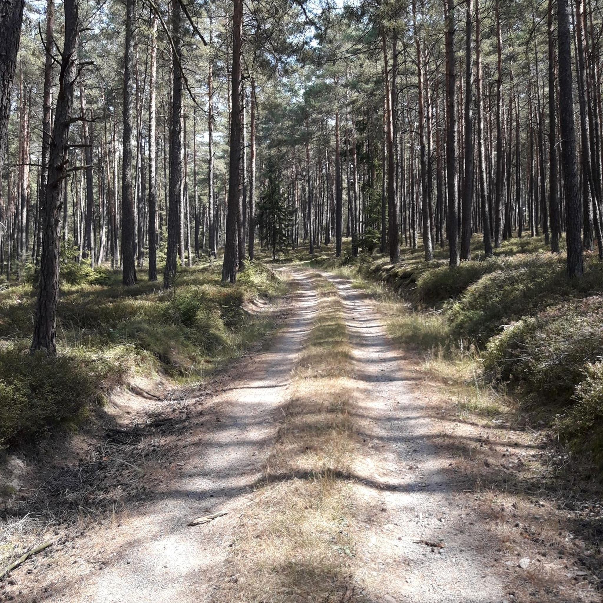
Longeville-sur-Mer boasts diverse natural landscapes. You can hike along 7.2 kilometers of sandy beaches, through the dense 560-hectare Longeville State Forest with its maritime pines and holm oaks, or explore unique marshlands like Marais Neuf and the Jard-sur-Mer Marshes. The region also borders the extensive Marais Poitevin, offering rich biodiversity.
Are there any notable natural attractions or landmarks to visit along the trails?
Yes, the area around Longeville features several interesting natural attractions. You can explore the Source de la Loue, the Source du Pontet, or enjoy views from the Renédale Viewpoint and View of Roche Bottine. The Gorges de Noailles also offers a dramatic landscape.
What do other hikers say about the trails in Longeville?
The hiking trails in Longeville are highly regarded by the komoot community, with an average rating of 4.5 stars from over 700 reviews. Hikers often praise the diverse scenery, from coastal paths to forest trails and marshlands, and the well-maintained routes suitable for various skill levels.
Are the hiking trails in Longeville dog-friendly?
Many trails in Longeville are suitable for hiking with dogs, especially those through the Longeville State Forest and along the less crowded beach sections. However, it's always advisable to check local regulations for specific areas, particularly during peak seasons or in protected marshland zones, and to keep dogs on a leash.
Is public transport available to access hiking trailheads in Longeville?
While Longeville-sur-Mer is accessible by regional public transport, direct access to all trailheads might be limited. It's recommended to check local bus schedules for routes connecting to the town center or specific starting points. Many hikers opt for personal vehicles to reach more remote trail access points.
Where can I find parking for hiking trails in Longeville?
Parking is generally available at various access points for hiking trails, especially near popular beaches like Le Bouil and Les Conches, and at entrances to the Longeville State Forest. For marshland areas, designated parking spots are often provided. Always look for official parking areas to ensure convenience and respect local regulations.
What is the best time of year to go hiking in Longeville?
Longeville offers pleasant hiking conditions for much of the year. Spring and autumn provide mild temperatures and beautiful natural colors, making them ideal for exploring the forests and marshlands. Summer is excellent for coastal walks and combining hikes with beach activities, though trails can be busier. Winter offers a quieter experience, especially in the forests.
Are there any longer or more challenging hikes for experienced hikers?
Yes, Longeville offers more challenging routes for experienced hikers. There are over 25 difficult trails and more than 80 moderate routes. An example of a moderate hike with significant elevation changes is the Monk's Viewpoint – White Limestone Cliffs loop from Longeville, which spans about 11 km.
Can I combine hiking with other activities like swimming or exploring towns?
Absolutely. Longeville's location makes it perfect for combining hiking with other activities. You can enjoy a refreshing swim after a coastal walk on one of its sandy beaches. The nearby towns of Ornans and Vuillafans offer charming places to explore, dine, or find accommodation.
What are the unique marshlands in the Longeville area, and can I hike there?
The Longeville area is known for its significant marshlands, including Marais Neuf and the Jard-sur-Mer Marshes, which are rich in biodiversity. You can certainly hike through these areas, often finding paths suitable for walking and cycling. Longeville is also at the edge of the vast Marais Poitevin, where boat or canoe trips are popular for exploring its unique ecosystem.
Most popular routes around Longeville
Most popular attractions around Longeville

Get inspired with the komoot mobile app


Explore more
Browse the best Hikes in other regions.
