The best running trails around Cellier-Du-Luc
3.8
(10)
1,177
runners
60
runs
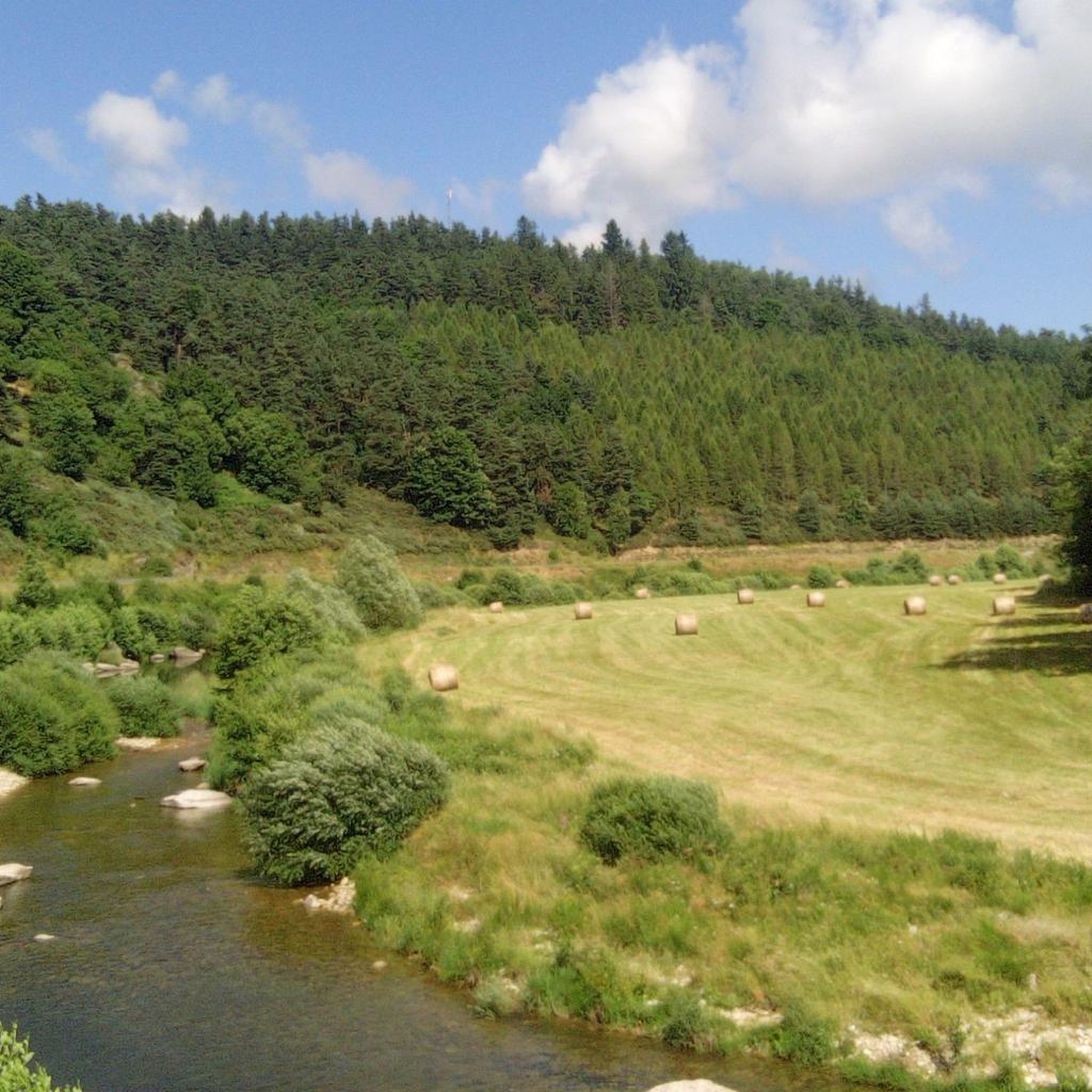
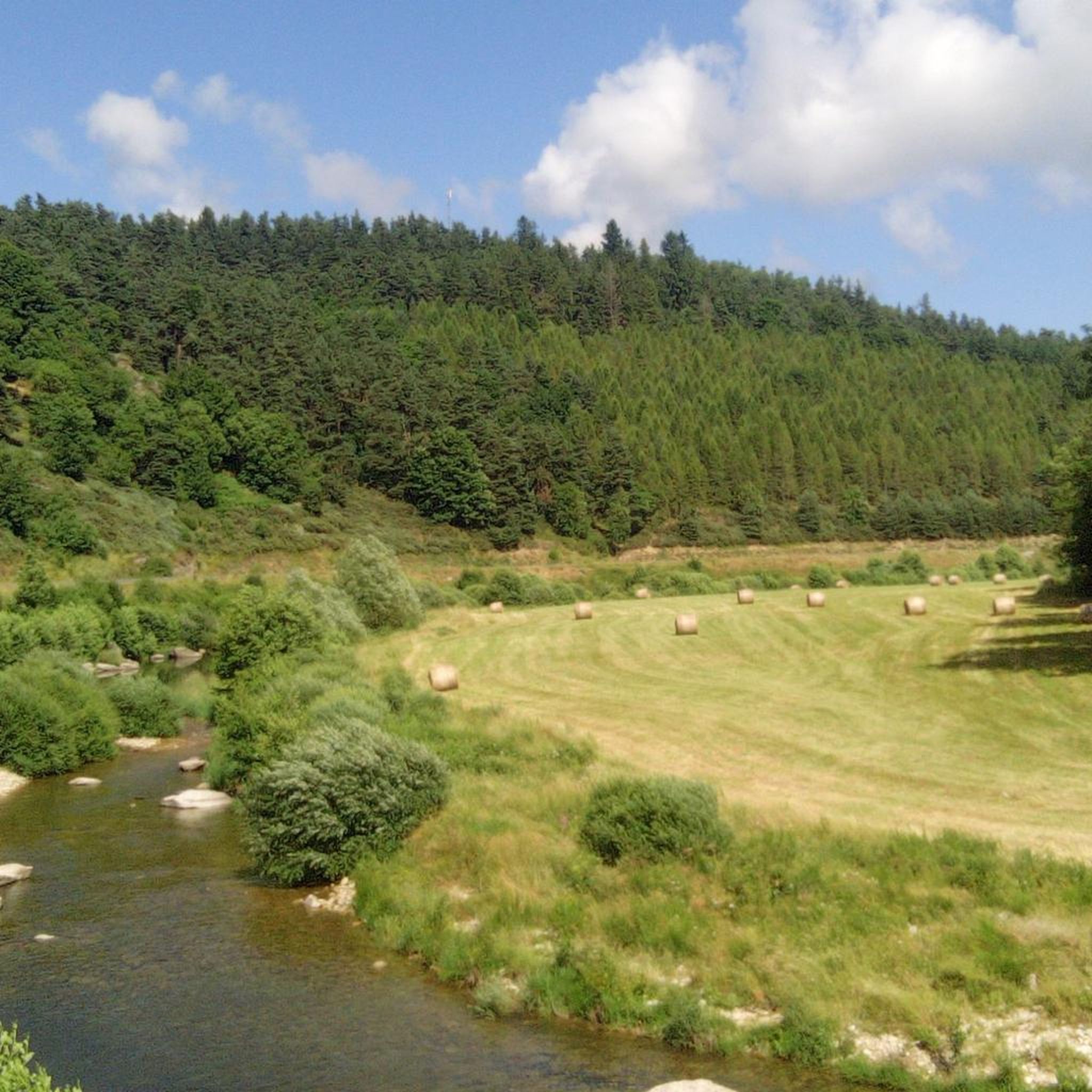
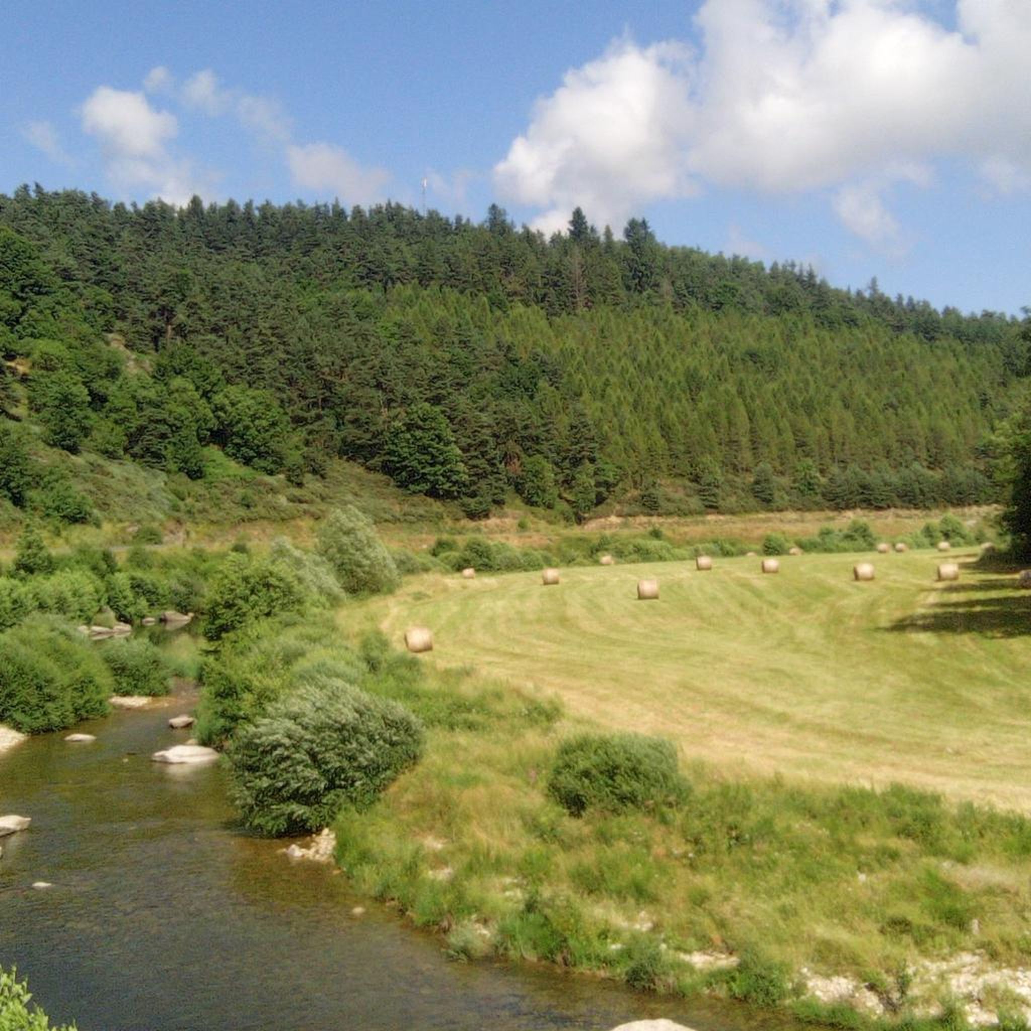
Jogging around Cellier-Du-Luc offers diverse landscapes, from wild and wooded environments to hilly terrain with varied elevations. The region is characterized by a mix of forests and fields, with altitudes ranging from 940 meters to 1200 meters. Joggers can explore paths alongside the Allier and Espezonnette rivers, set against the backdrop of the Monts d'Ardèche.
Best jogging routes around Cellier-Du-Luc
- The most popular jogging route is Lake Naussac – Donozau Waterfall loop from Langogne, a 9.5 miles (15.4 km)…
Last updated: July 13, 2026
3.0
(1)
34
runners
11.0km
01:12
100m
100m
Moderate run. Good fitness required. Mostly paved surfaces. Suitable for all skill levels.
32
runners
45.4km
05:15
1,010m
1,010m
Hard run. Very good fitness required. Mostly paved surfaces. Suitable for all skill levels.

Sign up for free
27
runners
15.8km
01:42
80m
80m
Hard run. Very good fitness required. Mostly paved surfaces. Suitable for all skill levels.
16
runners
3.39km
00:22
20m
20m
Easy run. Great for any fitness level. Mostly paved surfaces. Suitable for all skill levels.
15
runners
22.0km
02:26
210m
210m
Hard run. Very good fitness required. Mostly paved surfaces. Suitable for all skill levels.
Get access to more routes and recommendations from other explorers.
Sign up for free
Already have an account?
Our route recommendations are based on thousands of hikes, rides, and runs completed by other people on komoot.
Start today with a free account
Your next adventure awaits.
Login or Signup

Tips from the Community

Beautiful route to do by bike, running or just walking. Allowing you to enjoy the lake of Naussac (its fauna and flora) in a short tour. Then in a big tour of the lake the Donozau waterfall for a big tour of the lake.
0
0


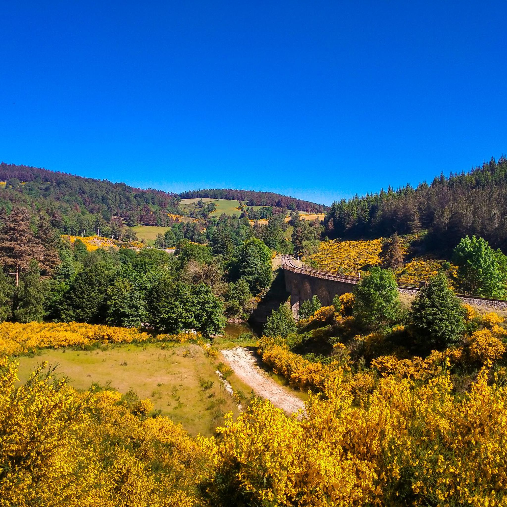
Railway bridge over the Allier
0
0
Passage by a path between the station and the lake of Naussac
0
0

This charming rural town located in the heart of Margeride offers an ideal setting for cycling. Its cafes and restaurants allow you to stop there in the middle or end of your outing.
1
0

The setting here is enchanting with beautiful round hills punctuated by meadows and forests with, further on, the Langouyrou, a pretty stream.
1
0

Sitting at 920 metres (3,018 ft), Langogne is a picturesque rural commune with plentiful food and accommodation options. You can take a break in one of its numerous cafés in the old centre.
0
0
From the first glimpses of this lake at its western end to riding high above on a gravel track, this huge body of water is an imposing sight, sitting at 945 metres high (3,100 ft). Riding its full 10-kilometre (6.2 mi) length t's hugely tempting to head in for a dip to cool off in the summer months at one of its beaches near the small town of Naussac, before heading into Langogne.
0
1
Frequently Asked Questions
How many running routes are available in Cellier-Du-Luc?
Cellier-Du-Luc offers a wide selection of running routes, with over 60 different trails to explore. These routes cater to various fitness levels, ranging from easy strolls to more challenging runs.
Are there any easy jogging routes for beginners in Cellier-Du-Luc?
Yes, Cellier-Du-Luc has several easier jogging options. There are 5 routes classified as easy, perfect for beginners or those looking for a relaxed run. While specific easy routes aren't highlighted in the top picks, you can filter for 'easy' difficulty on komoot to find them.
What kind of terrain can I expect on the running trails around Cellier-Du-Luc?
The running trails in Cellier-Du-Luc feature a diverse and engaging terrain. You'll encounter a mix of wild and wooded environments, hilly sections, and picturesque paths alongside the Allier and Espezonnette rivers. Elevations vary from 940 meters to 1200 meters, providing a good workout with scenic views.
Are there any running routes that feature waterfalls?
Absolutely! The area is known for its beautiful waterfalls. You can enjoy routes like the Donozau waterfall loop from Langogne, a moderate 6.4-mile (10.3 km) path, or the Donozau waterfall loop from Saint-Flour-de-Mercoire, which is 5.6 miles (9.0 km) and also leads through wooded, hilly terrain to the waterfall.
What do other runners think about the trails in Cellier-Du-Luc?
The running routes in Cellier-Du-Luc are highly regarded by the komoot community, holding an average rating of 3.5 out of 5 stars from 6 reviews. Over 1200 runners have used komoot to explore the varied terrain, often praising the natural beauty and diverse landscapes.
Are there any long-distance or challenging running options in the region?
For those seeking a challenge, the broader region includes sections of the GR70, also known as the Stevenson Trail, which is a long-distance path offering an immersive experience for longer runs. Additionally, the Auradoux Pond – Lake Auradoux loop from Langogne - Lespéron Airport is a difficult 45.6 km (28.3 miles) route with over 1000 meters of elevation gain, perfect for experienced trail runners.
Can I find circular running routes in Cellier-Du-Luc?
Yes, many of the running routes in Cellier-Du-Luc are designed as loops, offering convenient circular options. For example, the popular Lake Naussac – Donozau Waterfall loop from Langogne is a 9.5-mile (15.4 km) circular trail featuring scenic lake views and a waterfall.
Are there any historical landmarks or points of interest along the running routes?
While specific routes aren't detailed with landmarks, the region itself is rich in history. The Château de Luc, a medieval castle, is a notable attraction nearby that you might incorporate into your run planning. You can find more details about it here: Luc Castle.
What is the best season for jogging in Cellier-Du-Luc?
Cellier-Du-Luc offers appealing jogging conditions throughout much of the year. Spring brings vibrant rivers, summer provides refreshing forests, and autumn showcases a beautiful symphony of colors. The varied terrain and natural beauty make it enjoyable across different seasons, though checking local weather is always recommended.
Are there running routes with scenic lake views?
Yes, you can enjoy beautiful lake views on several running routes. The Lake Naussac – Lake Naussac loop from Langogne is a moderate 6.8-mile (10.9 km) route that offers picturesque vistas of Lake Naussac, making for a very pleasant run.
Are there any routes suitable for families or those looking for a less strenuous run?
While specific 'family-friendly' routes aren't explicitly detailed, the presence of 5 easy routes suggests there are options suitable for a more relaxed pace or for families. These routes typically feature less elevation gain and shorter distances, making them more accessible.
What are the highest and lowest elevations I might encounter on a run?
Within the commune of Cellier-Du-Luc, you can expect varied elevations. The lowest point is around 940 meters at the Pont d'Allier, while the highest reaches approximately 1200 meters at the Bois de Lévert. This hilly terrain provides both challenging climbs and rewarding descents for runners.
Most popular routes around Cellier-Du-Luc
Most popular attractions around Cellier-Du-Luc

Get inspired with the komoot mobile app


Explore more
Browse the best Running Trails & Routes in other regions.
